
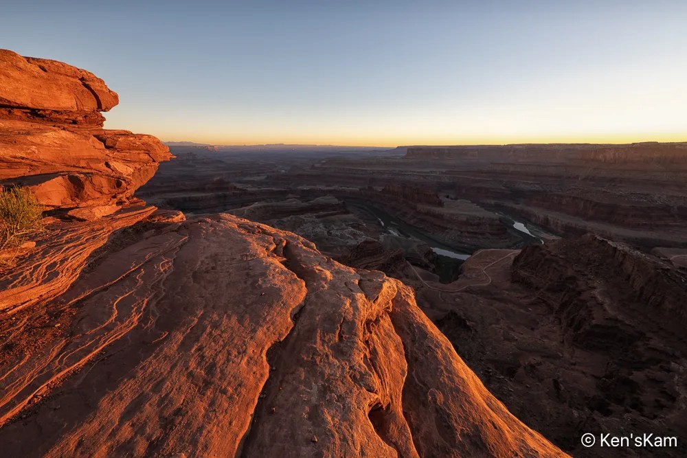
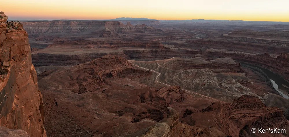
This is a continuation of sunset photography at Dead Horse Point SP, Utah.
This concludes the photography series from Utah in March of 2026.
Thanks for following,
Ken
This is a continuation of sunset photography at Dead Horse Point SP, Utah.
This concludes the photography series from Utah in March of 2026.
Thanks for following,
Ken
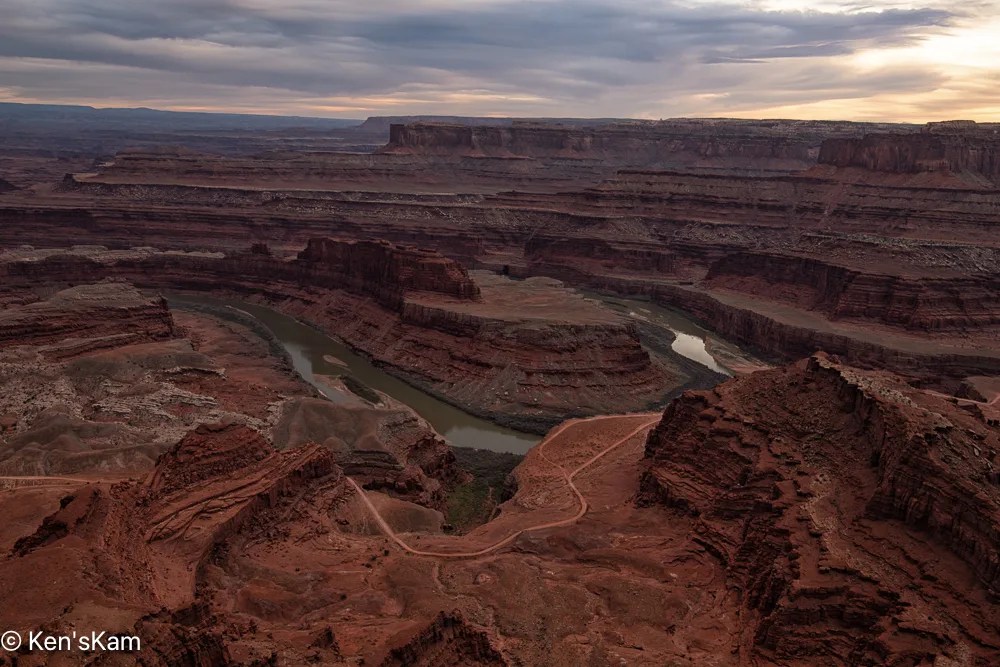
This is a continuation of photography at Dead Horse Point, Utah on an overcast evening in March, 2026.
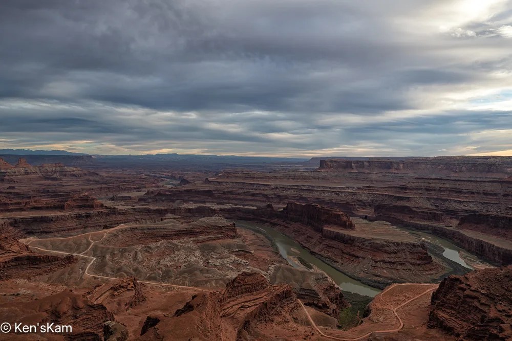
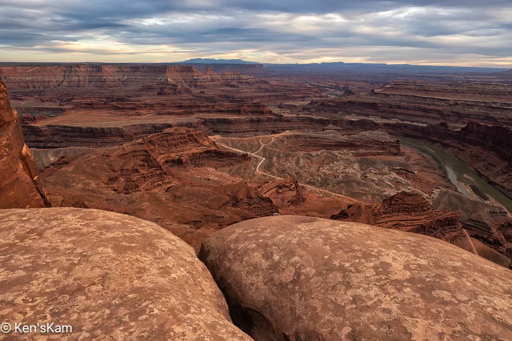
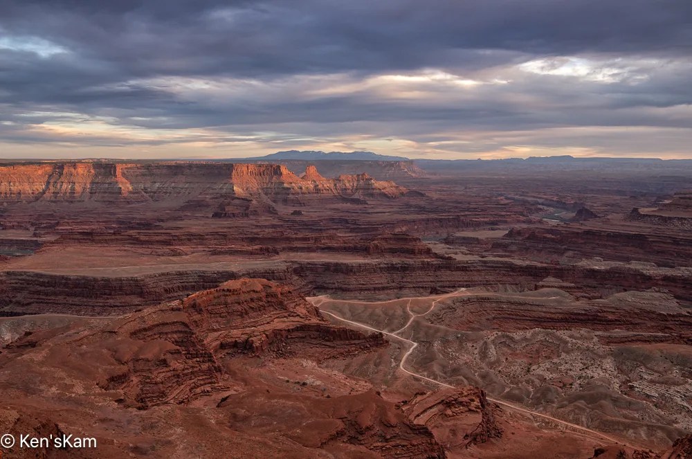
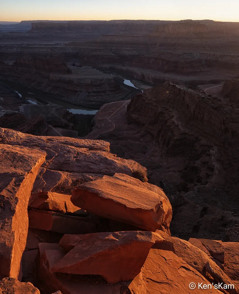
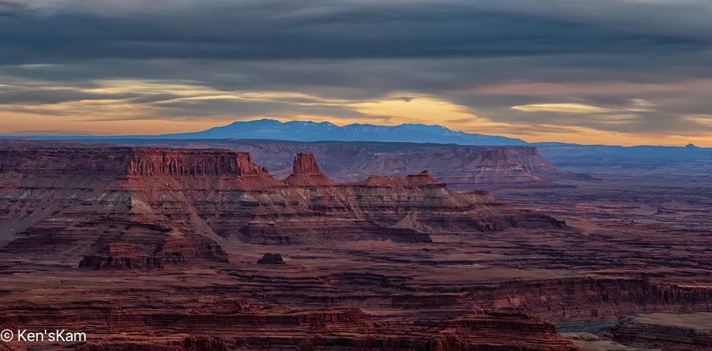
Ah, at last a little muted sunset light on those distant cliffs.
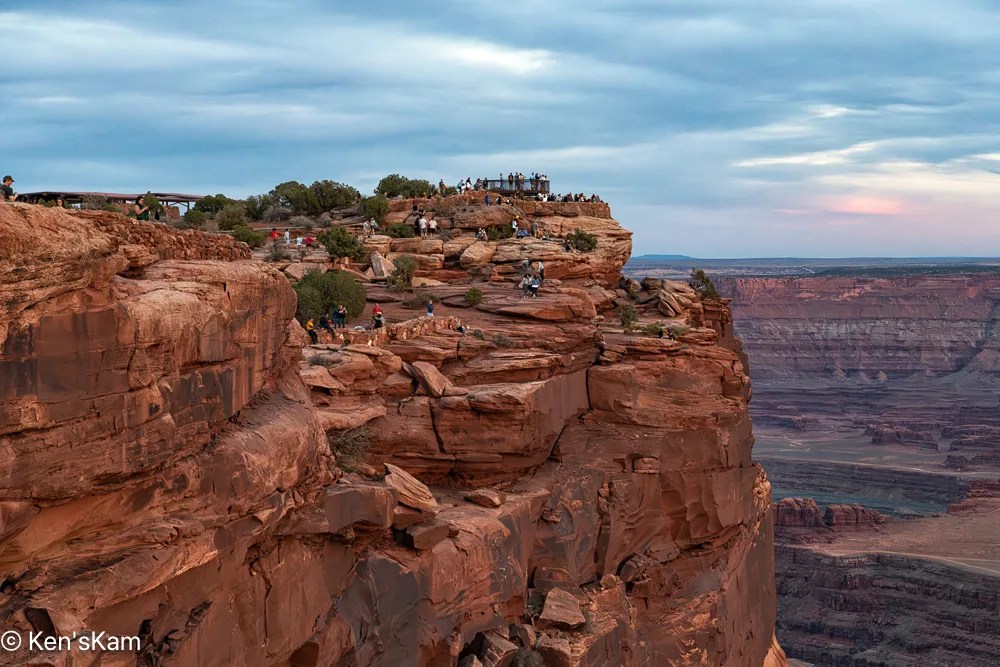
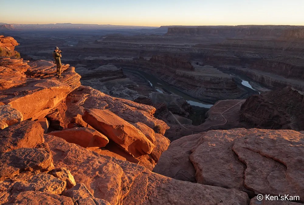
This final image shows that we were not alone at this popular view point.
Thanks for following,
Ken
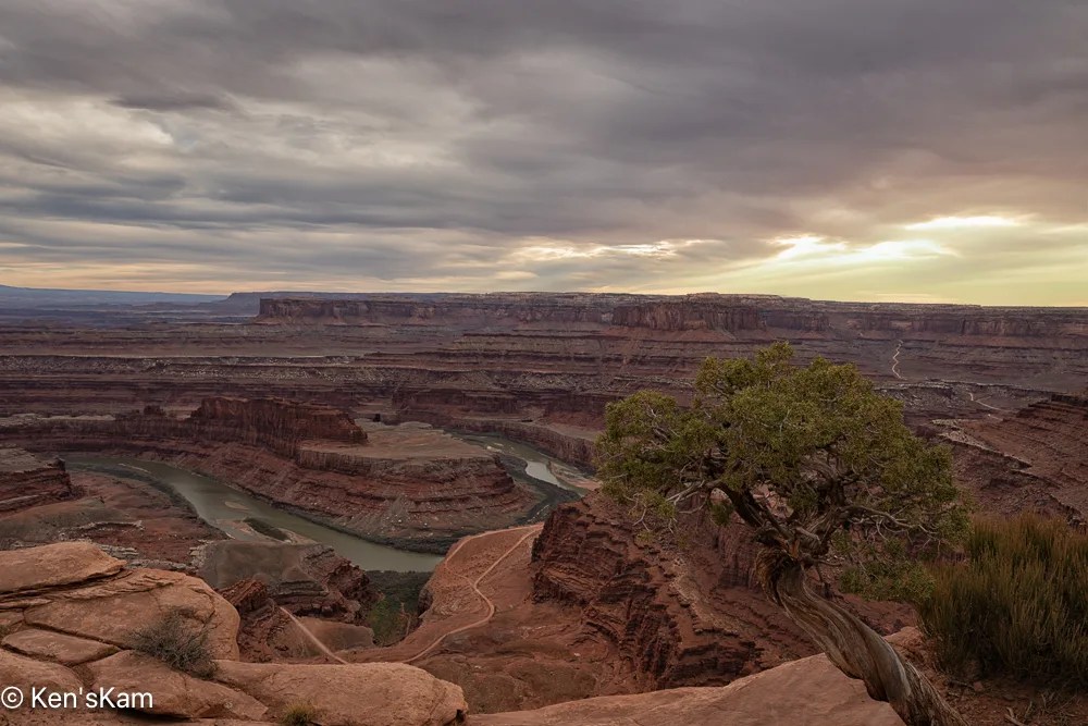
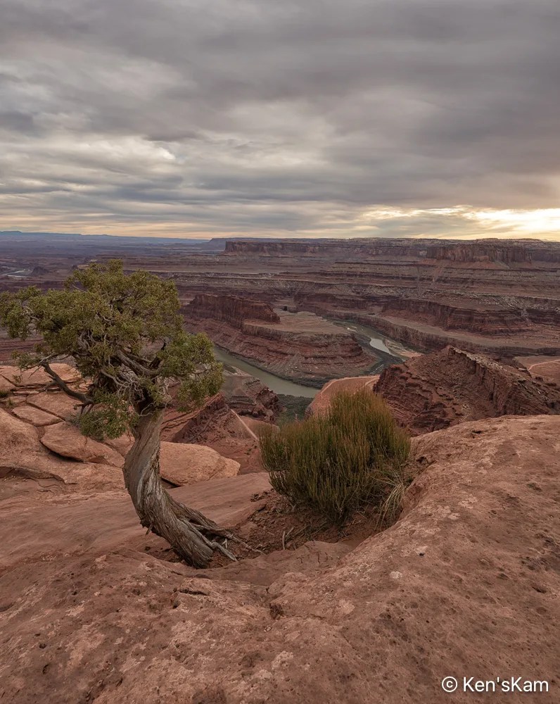
After driving Potash Road and the Shafer Trail, we returned to Dead Horse Point for sunset photography. It was a heavily overcast evening, so prospects for a golden sunset hour did not look promising.
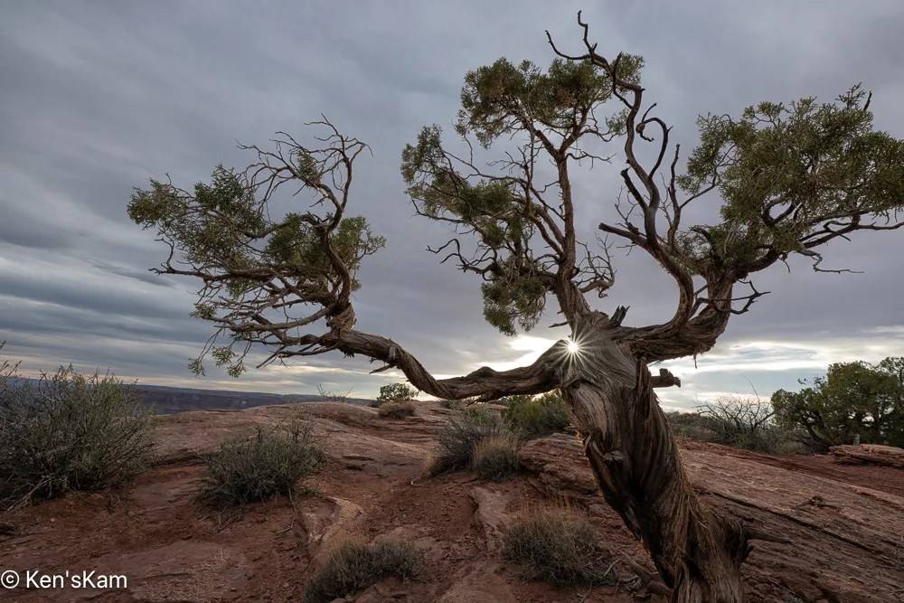
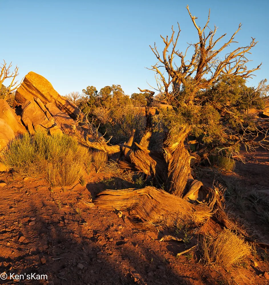
This tree creature seems to be relishing the sunshine on its shoulder.
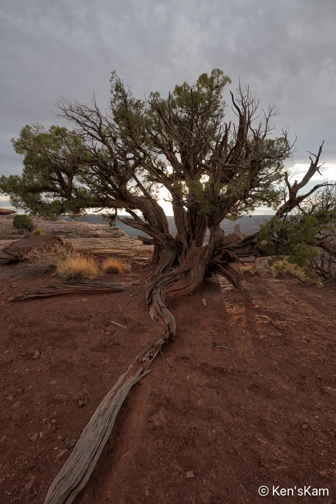
Twisting through the desert dust, a strong anchor holding its life form firmly to the earth.
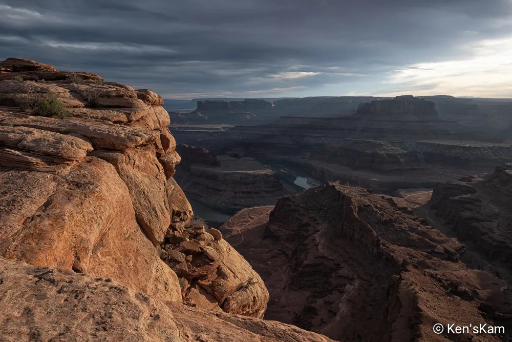
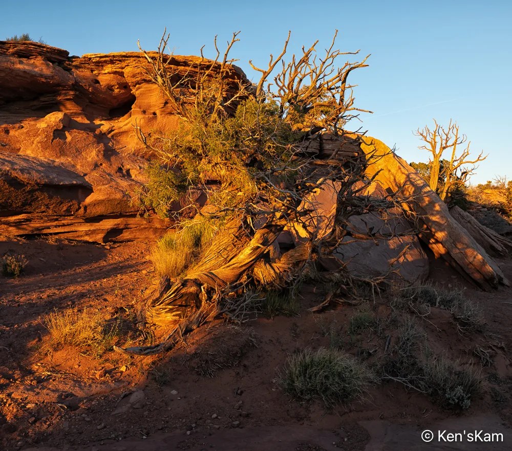
A portion of a nearby coppery cliff edge glows in late day sunlight, thick desert clouds envelope the landscape below in deep shadow.
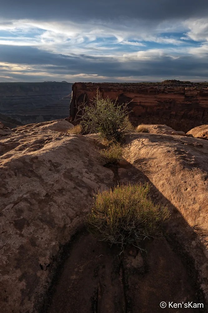
Desert plants sink their roots into the thin soil and hard rock, where scant moisture hides from the harsh sun. The V shape of the niche in the rock is reminiscent of similar shapes seen in Georgia O’Keefe’s artwork.
Thanks for following,
Ken
Followers probably noted the winding road through the landscape as seen from Dead Horse Point in previously posted images. After shooting sunrise at Dead Horse Point, we traveled that road. This post contains a few of the photographys made along that road.

I think this road might be refered to by different names and I’ve mostly heard folks talk about this route as Shafer Trail, but my map shows this portion as Potash Road, to the best that I can decipher the map labels

This pond is a part of a potash production facility. Potash (potasium chloride) is disolved from underground rock with water pumped from the Colorado River and put into evaporation ponds. Blue dye is added to the water to increase solar energy absorption that heats the water speeding up the evaporation process. These ponds can be seen from the Dead Horse Point overlook and are in some of my photos made at that overlook.


I always stand in awe of the natural power of water, wind, weather and time to carve such amazing landscapes.

The road we traveled changes its name to Shafer Trail somewhere along the route, I think at the point where it enters Canyonland National Park. This photo was made at an overlook near where Shafer Trail exits onto a paved road near Canyonlands NP Visitors Center.

Late in the day, we returned to Dead Horse Point for sunset photography. Stay tuned for more,
Ken
A brief look at my camera screen in the early morning, showed that I at least got star photos during the night. I always have some concerns that the program worked as planned, after setting up the camera to shoot well after dark and then retiring to bed. Unfortunately, upon reviewing those images on a big screen it was obvious that the stars were big blurry bright spots. So apparently I either accidentally shifted the focus a little, during the final set up or maybe I forgot to switch off auto focus. I think it was most likely the first, since I vaguely recall having to shift the lens back into auto focus mode for early morning sunrise shots, after realizing the first shot was not in focus. I don’t completely trust my eyesight to get really good focus, when in manual mode.
But I still have two batches of star images to process, which I will have to get to soon.


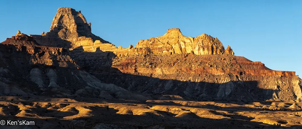
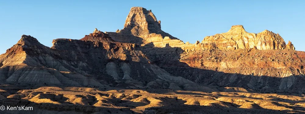
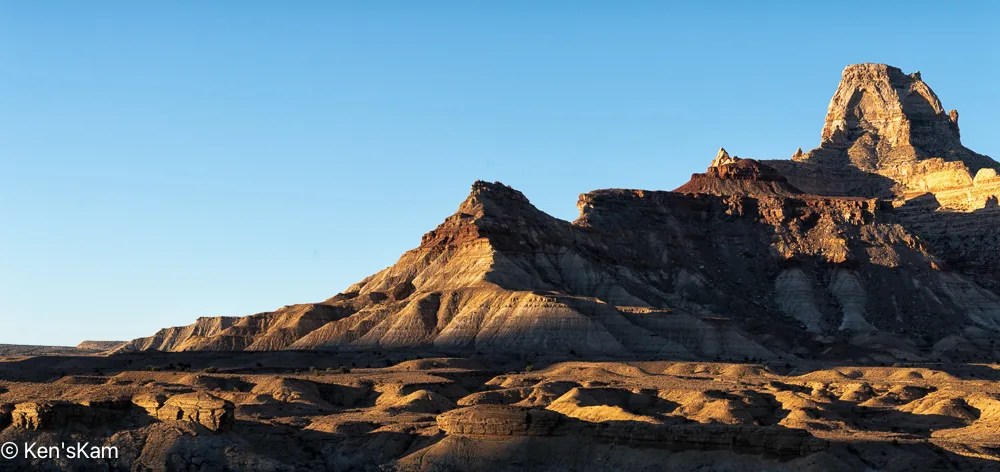

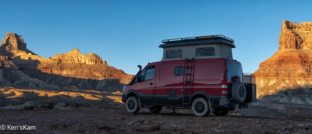
After shooting a few early morning images, we decided it was time to move on and headed towards the Moab area. Moab has become much more popular than it was during my first few visits here. Now it is very crowded all the time it seems and the rapid growth rate is highly evident. We considered several possibilities for finding a campsite in this high demand camping area, finally selecting a small public land camping area not very far from Dead Horse Point and we were lucky enough to have two or more empty sites from which to select.
After setting up camp, we did a bit of exploring in the local area, stopping by Dead Horse Point to scout it briefly.

This scene reminded me of hiking in Canyonlands NP many years ago.

After this brief visit to Dead Horse Point, we will return later for sunset photography.
Thanks for following,
Ken
I’ve fallen behind in my normal blog post schedule, being preoccupied with other summer time activities. I’ll try to get back to a more regular schedule.

I used this geological feature as a foreground for star photography. As usual, I’m slow at processing those night images, so the star photos will have to be in a later post.


Most of the golden hour light was gone by the time I made ‘Early Morning Light’, but I really like the light and shadows on the undulating foreground.
After shooting sunrise from our campsite, we explored more of the local area, driving a number of side roads into the desert.

These rock shapes remind me of crowns that might be worn by kings and queens.


‘Sand, Plants, and Hills’ is a paraphrase from the Eagles’ song ‘A Horse with No Name’.

As evening approached, we set up for more night sky photography.
Thanks for following,
Ken
From our base camp, we made a number of drives along 4 wheel drive roadways, portions of which were easy, some of which were “moderate”, involving driving in washes, alongside cliffs, drop offs and over boulders.
One of the these 4 wheel trails is called “Black Dragon”. We started this drive from our base camp and exited between portions of the San Rafael Reef onto I70. The Black Dragon names comes from a Native American Pictograph, which this trail goes past near the I-70 exit/entrance.

This panorama was shot from Black Dragon Viewpoint along I-70. A portion of Black Dragon trail is visible (a narrow band of light color) at the base (approximately in the center of the image) of the geological feature in the distance.

Note the chalk outlines added by someone, joining several pictographs to make them take on the appearance of a dragon. This is a defacement of the original Native American artwork.
The pictographs on this panel were done by ancients called the Barrier Canyon culture. There are petroglyphs on nearby rocks done by the Fremont culture of Native Americans.

Please note that the petroglyphs on these rocks are subtle when viewed with the naked eye. I have greatly enhanced these images to bring out the subtle artwork. So, if you visit this are, do not expect to see panels that look like those in these images.
You will also note that modern day visitors have added graffiti to these panels. Please refrain from defacing this delicate and fading artwork left to us by the ancients dwelling here long before modern day people arrived here.

I made numerous images of different portions of the panel, to bring out the details sufficiently for viewers of this post to visualize the artwork.


And again I remind readers that I’ve overlapped and zoomed in on various portions of the panel (and used extreme editing) to make the art more easy to visualize.
Thanks for following,
Ken
It is spring (or almost) and time for another spring trip with my oldest son. Traveling in the U.S. for outdoor activities in the spring, one always has to consider the weather at potential destinations.
The initial plan this year was to fly into Portland, Oregon, drive to Cannon Beach for photography along the Oregon coastline, knowing that the typical rainy weather along the coast might result in last minute changes, and it did. The forecast for the time interval available for this trip was for cool, rainy, overcast weather every day, which can offer some opportunities for photography, but might not be so pleasant every day. So cancel plan A. Move to Plan B.
Plan B was to go to the same area as last year, where there were still some possibilities to see and photograph in some locales not visited during previous trips. Then a few days before executing Plan B, Plan C came up. Plan C was to explore an area of Utah seen superficially and partially, when passing through on the way to other destinations. Plan C was executed.
I drove two long days to reach the first destination, a first come first serve, free camping area on BLM (Bureau of Land Management) public land not far off of I70 west of Green River, Utah. This area is said to be popular with off roaders and I wanted to be sure to get here to find a campsite before the weekend crowd arrived. As it turned out, while there were a few scattered campers, including those hauling their offroad vehicles, there was no large crowd and I easily found a suitable campsite, somewhat secluded from others.


I shot the sunset panorama standing on the roof rack of my vehicle. If one looks closely, the tops of a few other campers can be seen in this image.
My son met me here to begin our exploration, making this our initial home base. Before he arrived, I had some time to walk around this area, shooting desert scenes with my iPhone. So stay tuned for part 2 to see some of those images.
Thanks for following,
Ken
I met my son at White House Trail Head and Campground in Southern Utah to spend a few days hiking and photographing in the area in mid-March 2025. We had previously spent some time in this area in 2009. So we knew a little about the area and had some ideas about where to go and what to see, but we wanted to avoid some of the most popular areas, which tend to be the ones most easily accessible and are, consequently, crowded.
Yet, we did spend a fair amount of time driving around and hiking to check out some possibilities. We also had one really windy day that curtailed all but some driving exploration in the area.
We ended up going to one particular area a number of times at various times of the day. This area is not awfully difficult to get to, but it does involve a fairly long drive on gravel and dirt roads, with a long portion on a rugged, 4 wheel drive road, which probably keeps out many casual visitors, followed by a sandy hike. One has to know where this site is, otherwise it is not obvious from any roadway. We saw evidence of other recent visitors, but never saw anyone else during any of our vists here.

For those that are not familiar with the term, “Hoodoo” is used as a description of a pinacle of weathered rock, usually with curious shapes. My pareidolia causes me to see creatures is some of these rock features, so I will often name these hoodoos for what I perceive.


“Ghost Rocks” is an accidental multiple exposure, due to my forgetting to reset my camera menu from an earlier multiple exposure shoot; but I like it. Maybe I should have made more such multiple exposures here.

The generic name for this area is “White Rocks”, for the mostly white rocks in this desert canyon.

Wind whipping the blades of this desert grass around leaves circles in the sand around its base.


I called this area with the many hoodoos a “canyon”, but I’m not sure that is the best term. It is more like an area eroded down into a large flat plain, where the harder rock remains as pinacles with rock caps of various colors and sizes. “Rim View” is a late day shot from the flat plain above the eroded out area.
More Utah rock features later,
Ken
This is a continuation of posts on hiking and photographing in Wire Pass and Buckskin Gulch slot canyons in Southern Utah in March of 2025.

Rocks in the path through Wire Pass can be hazardous to a careless hiker.


Water flowing through this narrow chasm over many years have cut through massive sandstone rock formations, revealing the multiple layers in the rock walls and cutting impressive contour features into those rocks.


Footprints of previous hikers cover the sandy path.

Wire Pass slot ends at a wide opening at its confluence with Buckskin Gulch. The Alcove is a massive feature carved into the rock wall near this junction.
Stay tuned for a brief hike into Buckskin Gulch,
Ken