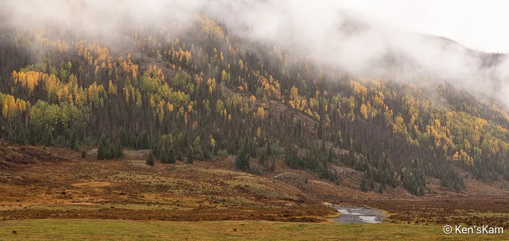
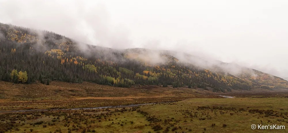
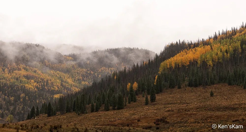
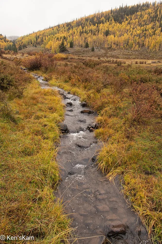
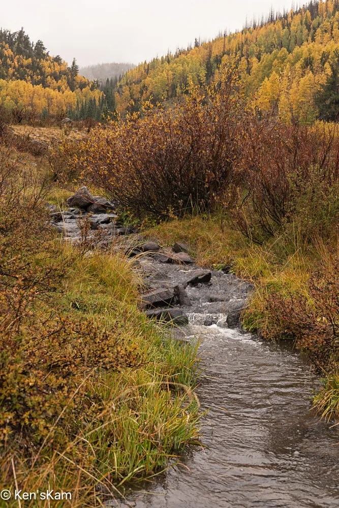
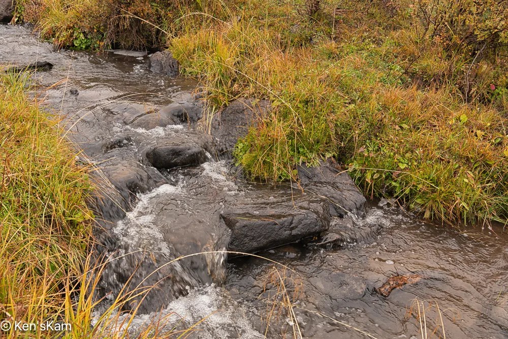
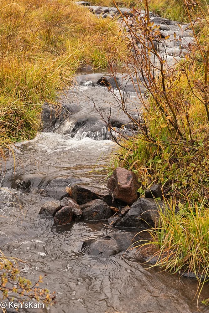
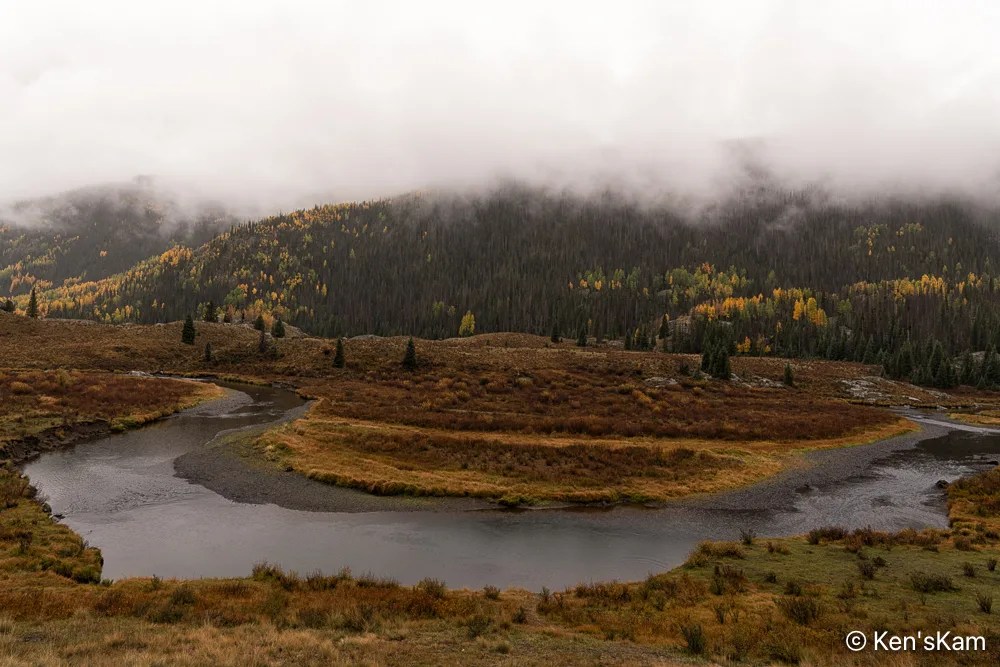
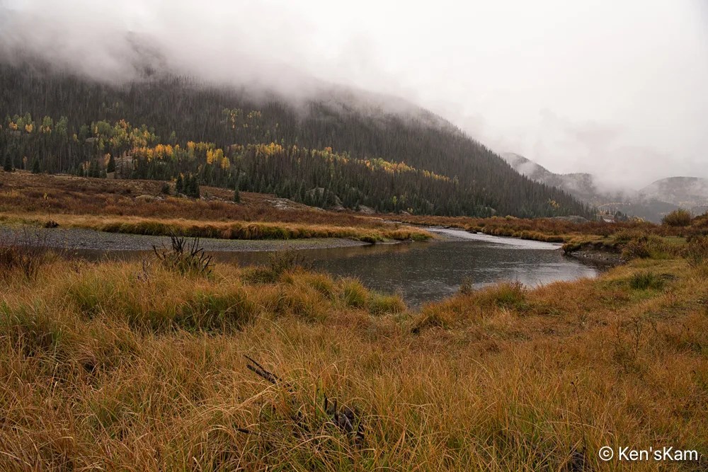
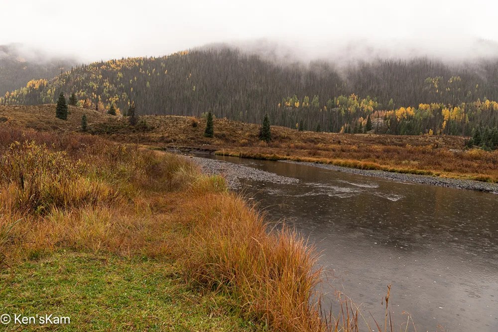
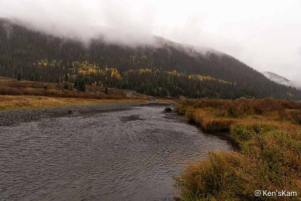
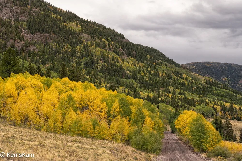
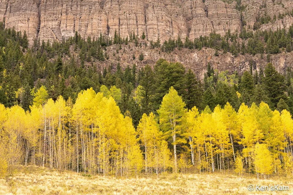
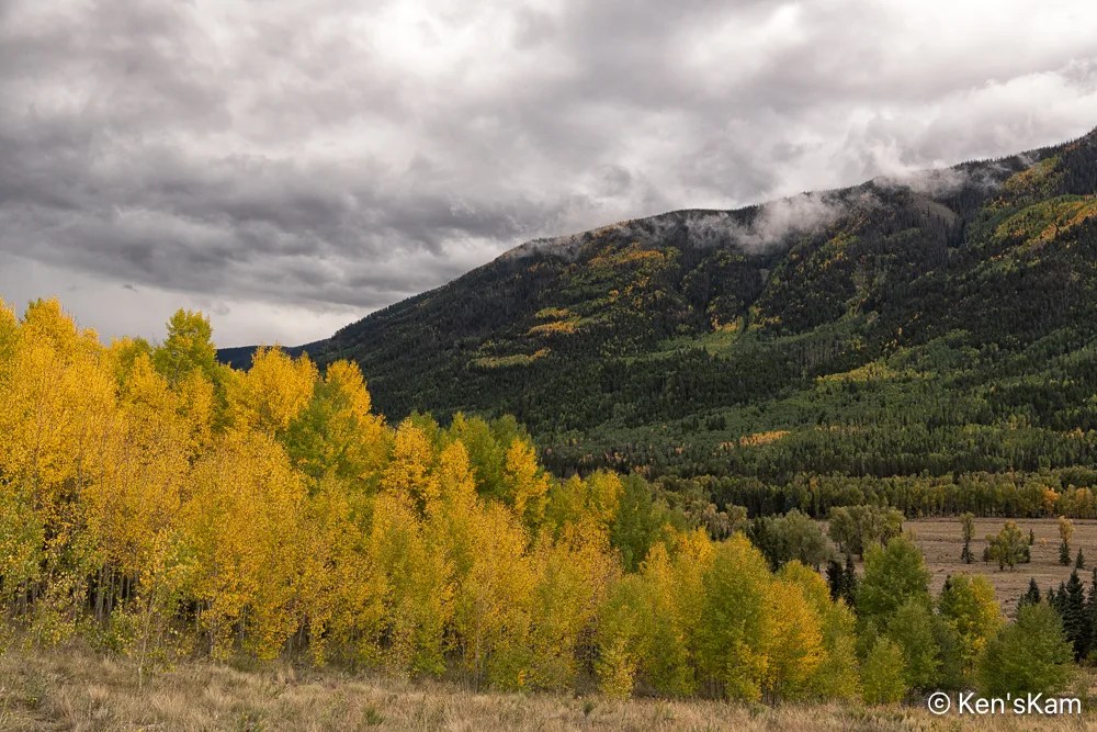
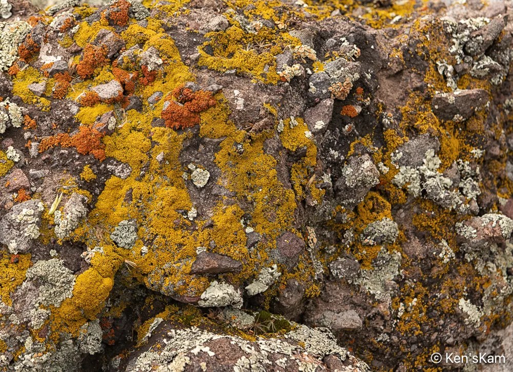
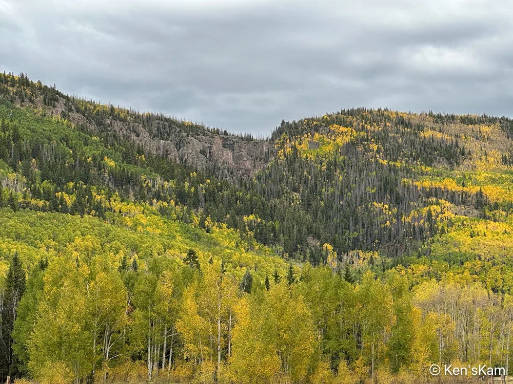
I made a number of images at this location, while walking around in the drizzling rain, along Forest Service Road 250, which follows the Conejos River for a long way in Rio Grande National Forest.
Valley, River, Mountainside, Mist
This was not the kind of weather I wanted, but I knew before I began this trip that there were significant chances of rain for each day here.
With the recent and continuing rains, the local streams were flowing again after a long dry spell and there is something irresistible about a mountain stream in every season.
It had been years since I visited Colorado in the fall. Not because I didn’t want to be there in the fall, but because the timing never worked out. This year I had a narrow window of opportunity to visit Colorado and I took advantage of it.
I knew in advance that this year might not be a great year for fall color in Colorado, due to a wide spread drought; but I knew that if I passed up this opportunity, I might not get another for years. So I went.
On the second day of travel, as I neared my destination in Southern Colorado, it began to rain. Mostly, light, intermittent showers, but sometimes heavy downpours. It rained and was overcast most of the time I was there with only the last couple of days partly sunny with occasional light rain.
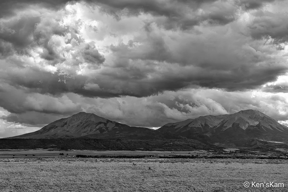
I’ve driven past these peaks numerous times in my trips to and from this part of Colorado. Today those heavy clouds above the peaks inspired me to stop and shoot this image.
I arrived at the south end of Forest Service Road 250 in the late afternoon and I stopped a few time along the road to shoot a few images, while looking for a place to overnight in my vehicle.
This time of the year is not only leaf peeping season in Colorado, but hunting season as well. So there were many hunters in the Rio Grande National Forest, taking up many of the open campsites. I was also surprised to see that a number of forest campgrounds that were closed the last time I was in this area were still closed. I don’t know why, but I suspect budget cuts by the current Washington regime is responsible.
And the rains made some dispersed camping areas difficult or impossible to use. Fortunately, I found a suitable place to stay overnight, although I did walk into the area first to make sure I could navigate the muddy dirt roads and puddles.
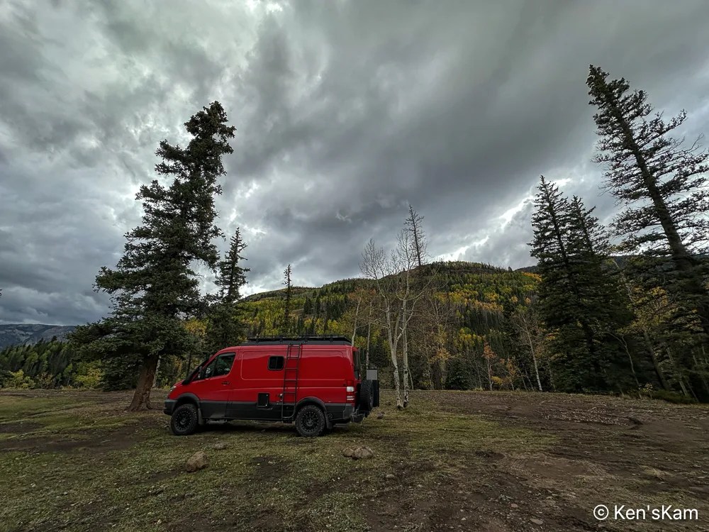
First Night’s Campsite
This is an iPhone photo with the wide angle lense distortion making it look like those evergreens are leaning in to protect my vehicle from the inclement weather.
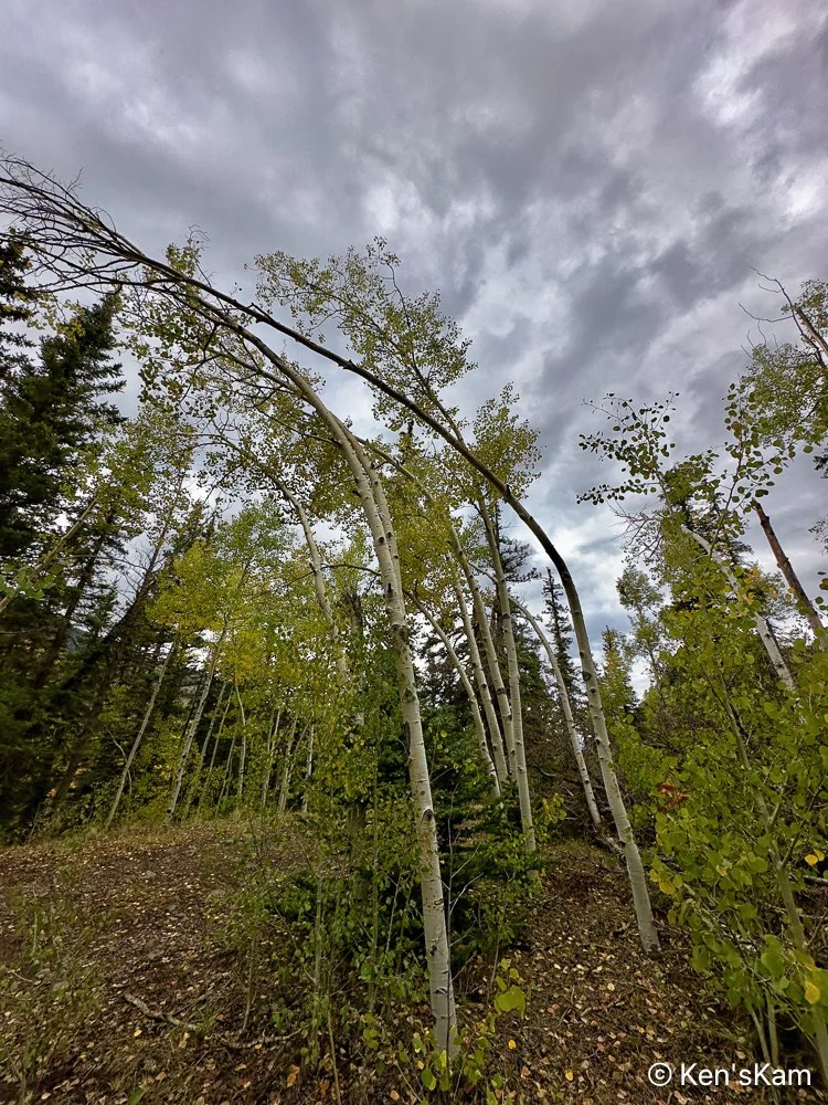
View from CampsiteBent Aspens
I found it interesting that this group of small aspens near my campsite are all bent in the same manner. Perhaps these were deformed when very small by a snow load and maintained that shape as they have grown.
More Colorado fall photos to come. Thanks for following,
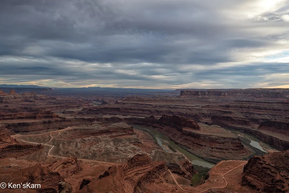
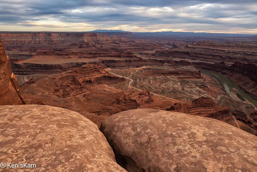
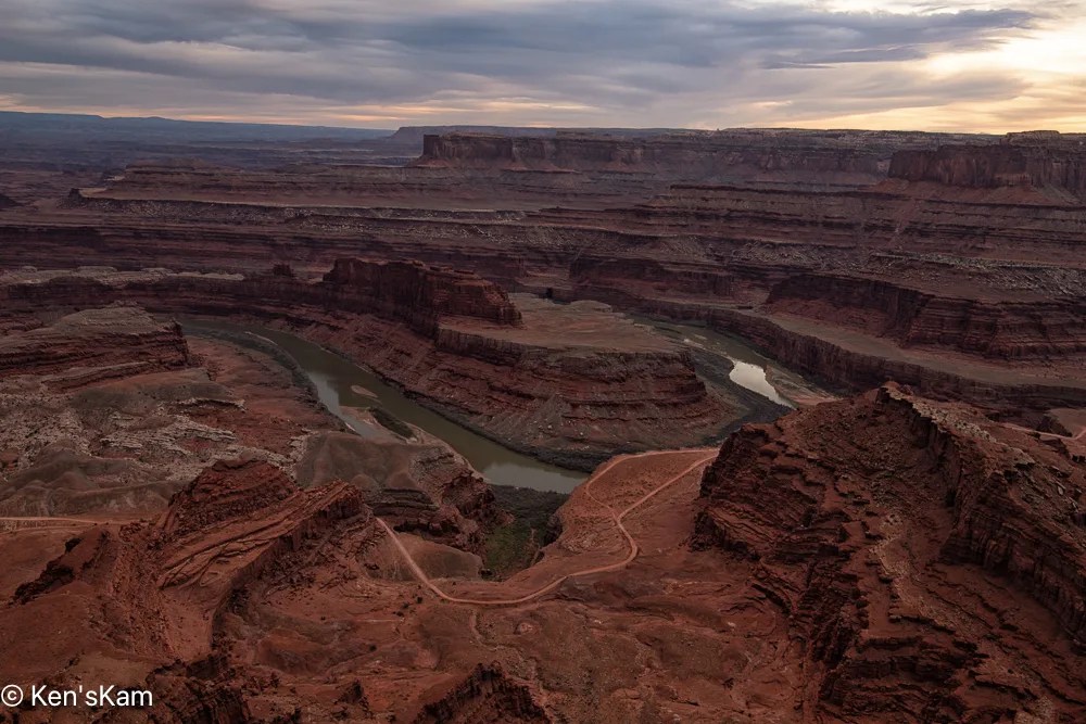
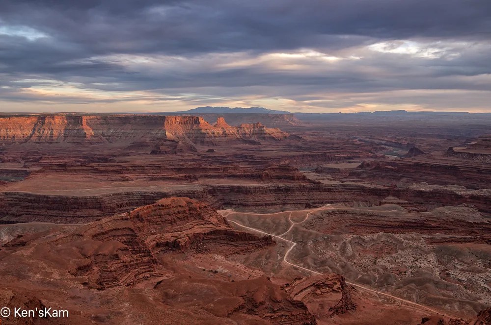
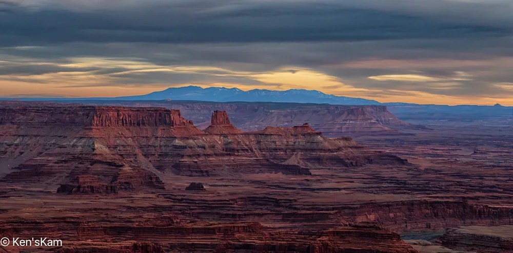
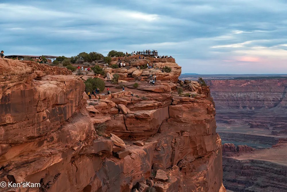
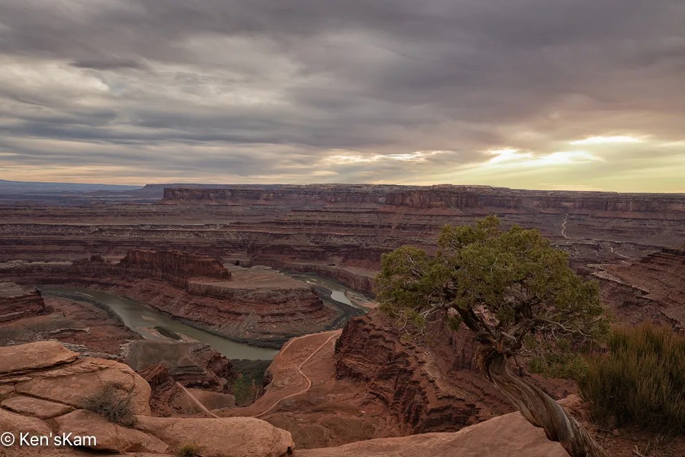
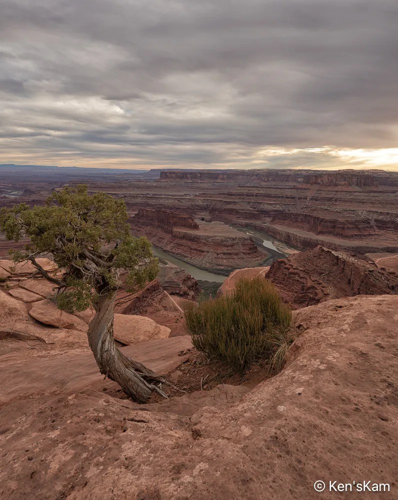
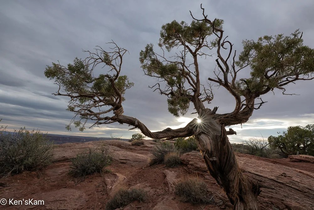
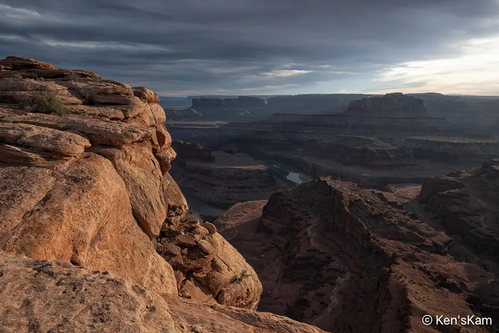
After driving Potash Road and the Shafer Trail, we returned to Dead Horse Point for sunset photography. It was a heavily overcast evening, so prospects for a golden sunset hour did not look promising.
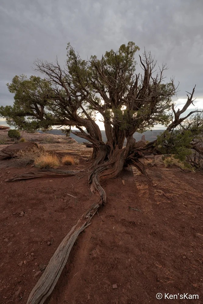
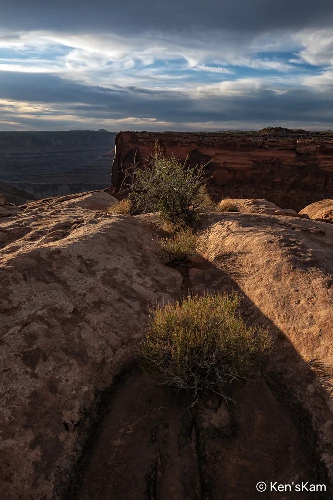
Desert plants sink their roots into the thin soil and hard rock, where scant moisture hides from the harsh sun. The V shape of the niche in the rock is reminiscent of similar shapes seen in Georgia O’Keefe’s artwork.
While waiting for my son to join me, I could not resist walking around the desert area surrounding my Utah campsite, capturing desert scenes with my iPhone camera.
I regret that I can’t find the poetry to describe these desert scenes. I’ve noted a few of my photography contacts on Flickr suddenly waxing poetic in a manner that suggest AI generated text. I have to admit, I’ve thought about that, but I’ve not yet given in to that temptation.
Thanks for following and stay tuned for more Utah desert scenes,
It is spring (or almost) and time for another spring trip with my oldest son. Traveling in the U.S. for outdoor activities in the spring, one always has to consider the weather at potential destinations.
The initial plan this year was to fly into Portland, Oregon, drive to Cannon Beach for photography along the Oregon coastline, knowing that the typical rainy weather along the coast might result in last minute changes, and it did. The forecast for the time interval available for this trip was for cool, rainy, overcast weather every day, which can offer some opportunities for photography, but might not be so pleasant every day. So cancel plan A. Move to Plan B.
Plan B was to go to the same area as last year, where there were still some possibilities to see and photograph in some locales not visited during previous trips. Then a few days before executing Plan B, Plan C came up. Plan C was to explore an area of Utah seen superficially and partially, when passing through on the way to other destinations. Plan C was executed.
I drove two long days to reach the first destination, a first come first serve, free camping area on BLM (Bureau of Land Management) public land not far off of I70 west of Green River, Utah. This area is said to be popular with off roaders and I wanted to be sure to get here to find a campsite before the weekend crowd arrived. As it turned out, while there were a few scattered campers, including those hauling their offroad vehicles, there was no large crowd and I easily found a suitable campsite, somewhat secluded from others.
I shot the sunset panorama standing on the roof rack of my vehicle. If one looks closely, the tops of a few other campers can be seen in this image.
My son met me here to begin our exploration, making this our initial home base. Before he arrived, I had some time to walk around this area, shooting desert scenes with my iPhone. So stay tuned for part 2 to see some of those images.
Just before sunset time, I went to my pre-chosen location for sunset photography in Badlands National Park. It was heavily overcast and the prospects for golden hour light on the geological features in the park did not look promising.
Nevertheless, I made a few images prior to sunset time, hoping to maybe duplicate some compositions at golden hour.
After photographing wildflower scenes around my campsite, I left the campsite to travel into Badlands National Park to scout locations for golden hour photography. But first, I drove around a little in the large public land area, where I was camped to get a better feel for the area and scout other possible campsites, in case my prefered location was again taken or the site I occupied on my first night here was taken, when I returned in the evening.
There are numerous road trails through this area, which is popular with off-road vehicle riders, who create their own trails with their dirt bikes, 4 wheelers and other vehicles. I traveled into the area a bit, but did not take time to fully explore the area, after I was satisfied that it would be no problem to easily find numerous suitable places to overnight here.
I parked along one of the trails on my way out, hiked up to the top of one of the many hills in this area and captured this pano:
There is a gravel road that leads from the small town of Interior, SD into Badlands NP, which I take as a short cut into the park, rather than following the highway to a main entrance. There is a sign indicating when one is entering the park on this backroad, but no entry station. The sign does inform that a permit or fee is required to be in the park, so anyone in the park might be asked by a ranger to show proof of fee payment or other permit. I have a Senior Pass, one of the few benefits of old age, so I never worry about having to show proof that I can be in a National Park.
I stopped on this gravel backroad to shoot a few images of the Badland features in the distance that appear to “erupt” out of the flat land in the foreground.
It was a mostly heavily overcast day with periodic light rain. I stopped at a number of the overlooks to snap a few scouting photos with my iPhone. The dramatic clouds in the sky made for interesting photos and I probably should have taken more time to capture better quality images with my Nikon Z8 and wide angle Z14-24mm lens. The Z8 is sealed well, but keeping rain drops off of the big lens glass can be a problem and I wanted to be able to scurry about quickly, so I left the big camera and lens in my vehicle, while I scouted various locations for shooting later in the day.
With the heavy cloud cover, not much direct light fell upon the badlands features, but occasionally a little light broke through the clouds to highlight some of the rocks.
The shape of the mound of dry, cracked, gray earth in the foreground bears a similarity with the shape of the rain clouds in the sky, yet the dryness of that mound of clay contrasts with the wetness of the clouds.
Lushness and Barrenness
Lush green vegetation in the low areas contrasts with the almost barren rock in the background.
Meander
A meandering stream runs through the low area at the base of the badlands features.
More Badlands images later,
Ken
P.S. These images are best viewed on a large screen.
In early June 2025, I traveled to Badlands National Park, South Dakota. I was not completely satisfied with my photos from this awesome national park from a visit a few years ago. I had some ideas of how to get better images during this visit.
I arrived late in the day and went directly to a BLM area south of the park that I had discovered during my last visit. At that time, I was often the only camper, at least as far as I could tell, in the area.
This time there was a camper in my favorite, quick and easy access spot. So I continued along a narrow dirt trail to find another suitable overnight location. This is a large area, so there are no shortages of possible parking/camping sites, but I was no longer alone in the area. There were no other campers nearby, but I could see one or two far away on higher locations. This place has been discovered, but is still sparsely utilized.
The forecast for the next morning was for heavy overcast and I was tired after my long journey, so I decided not to get up early for sunrise photography. Rather I explored a bit in this area and photographed the local scenery with my iPhone, including blooming cacti. As I drove around the area, I began to realize how big it was. I did not even explore to the limits of the area, before leaving and driving into the park to scout potential photography locations.
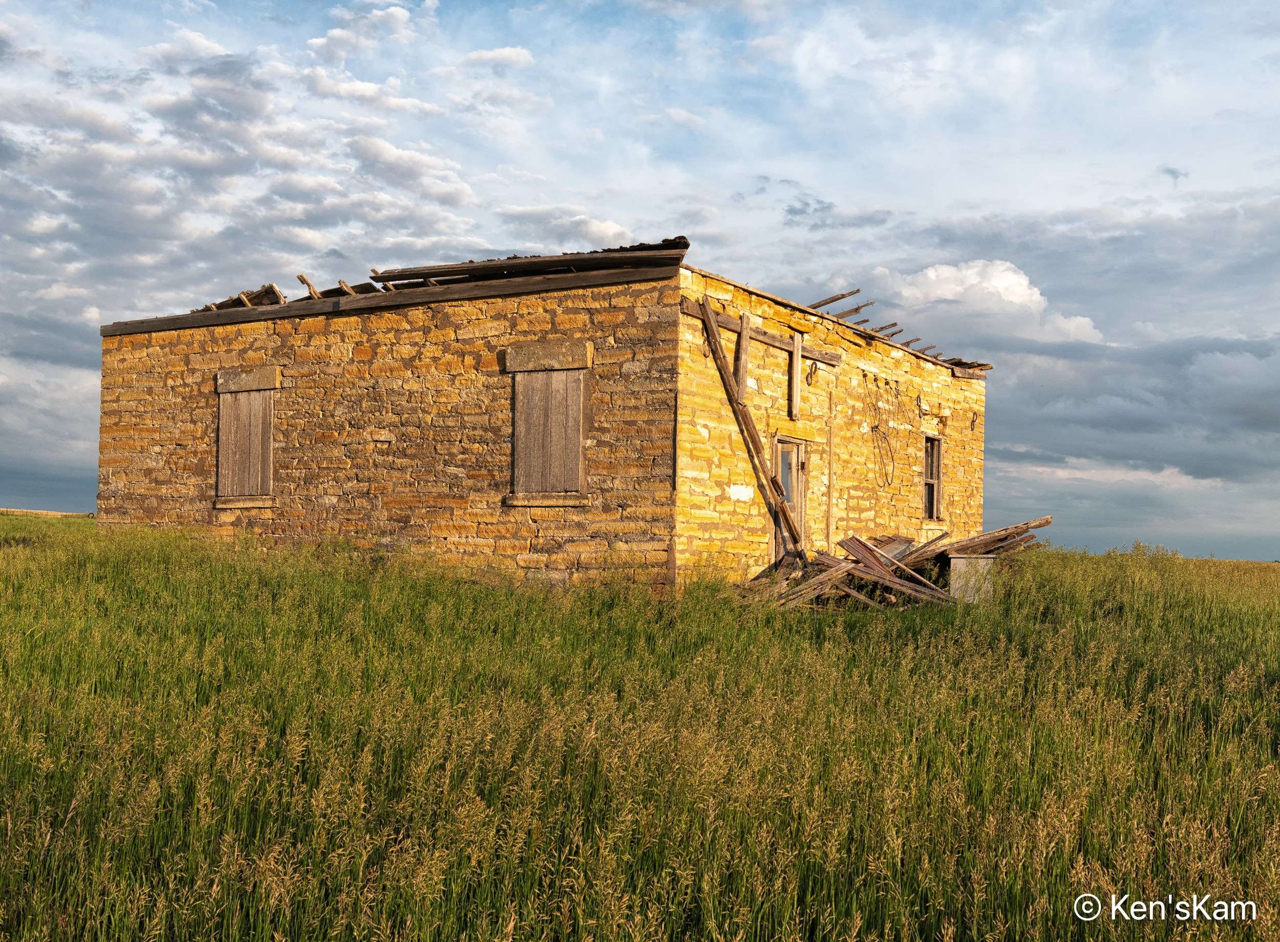
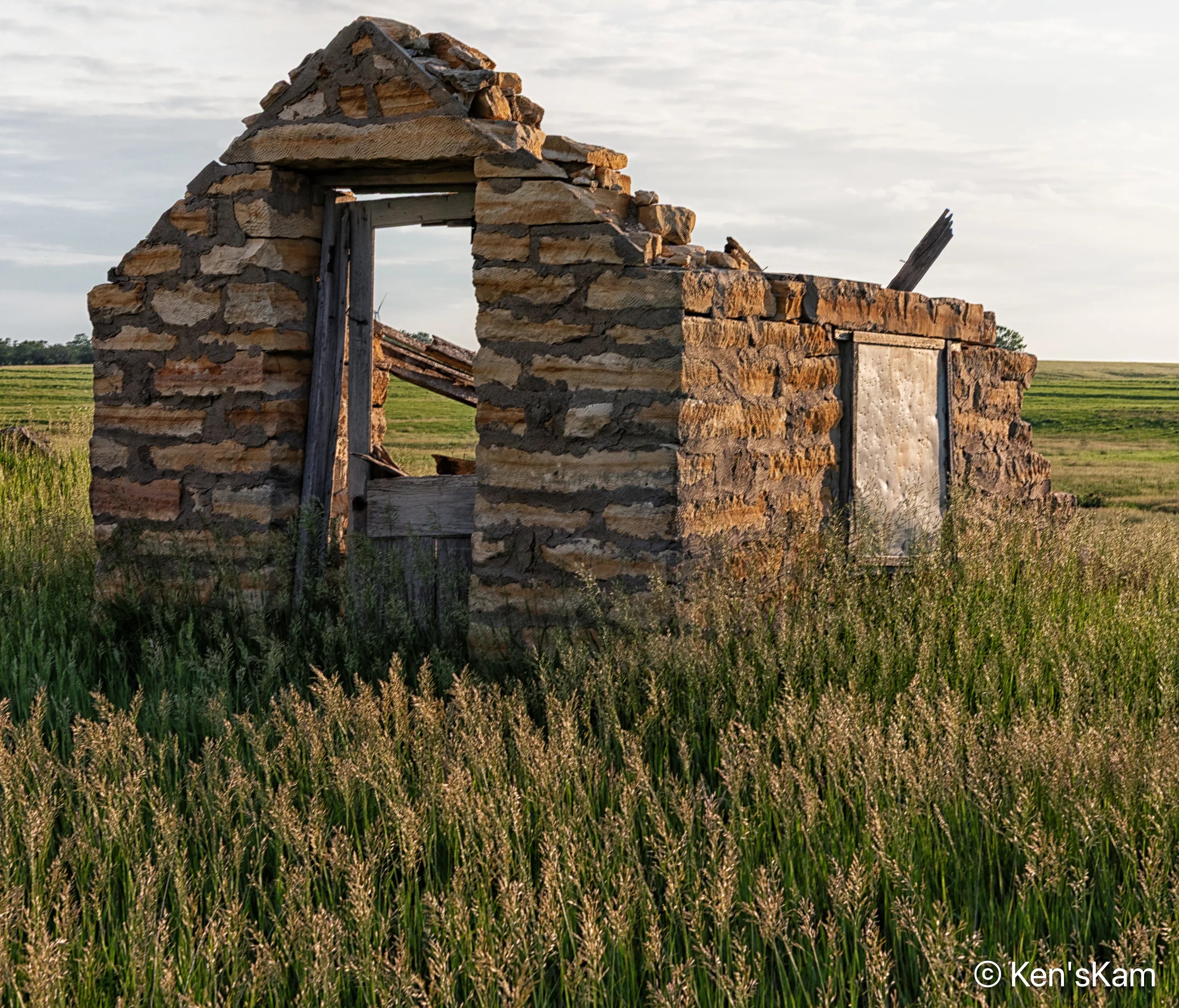
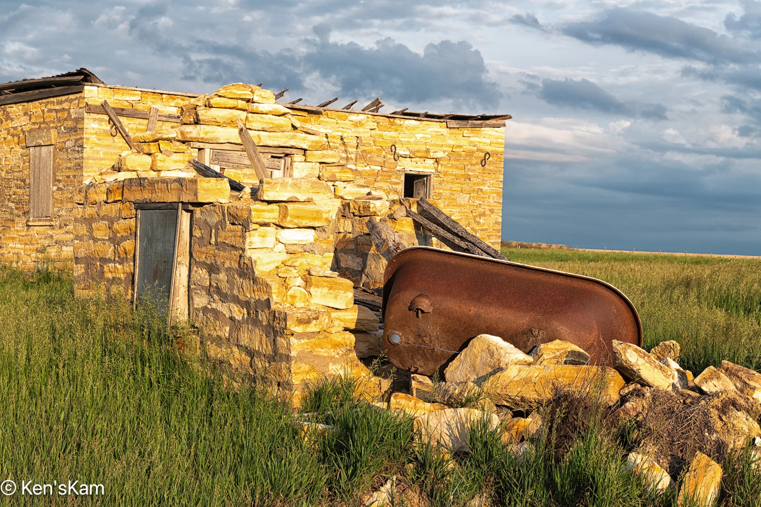
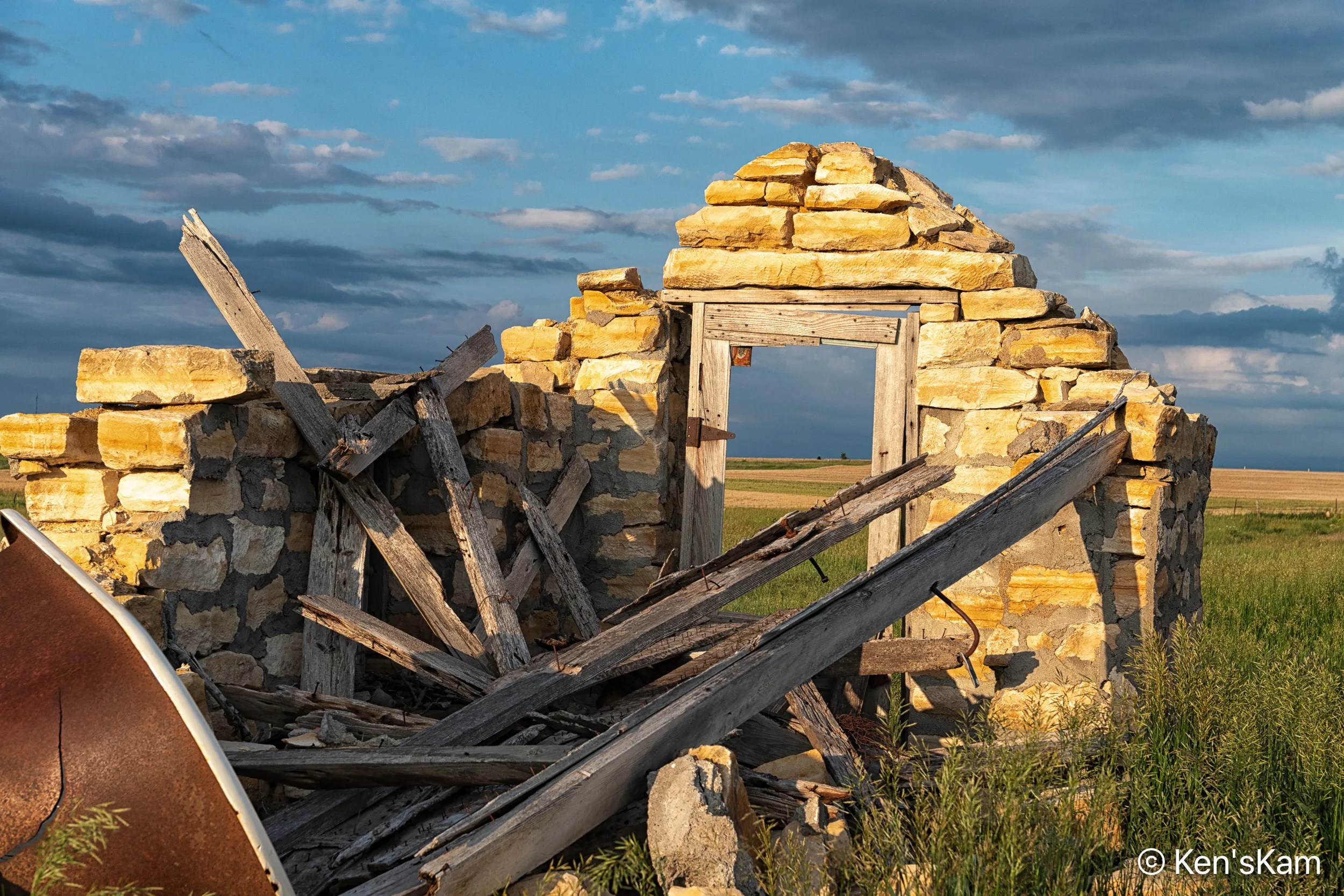
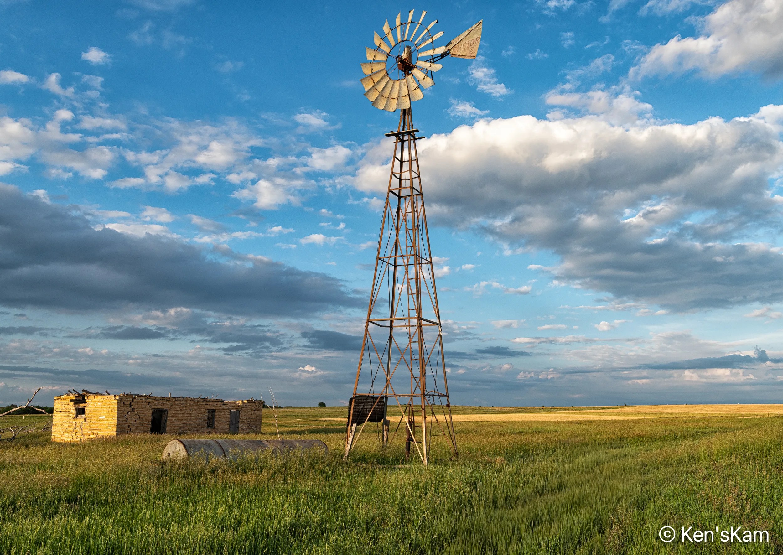
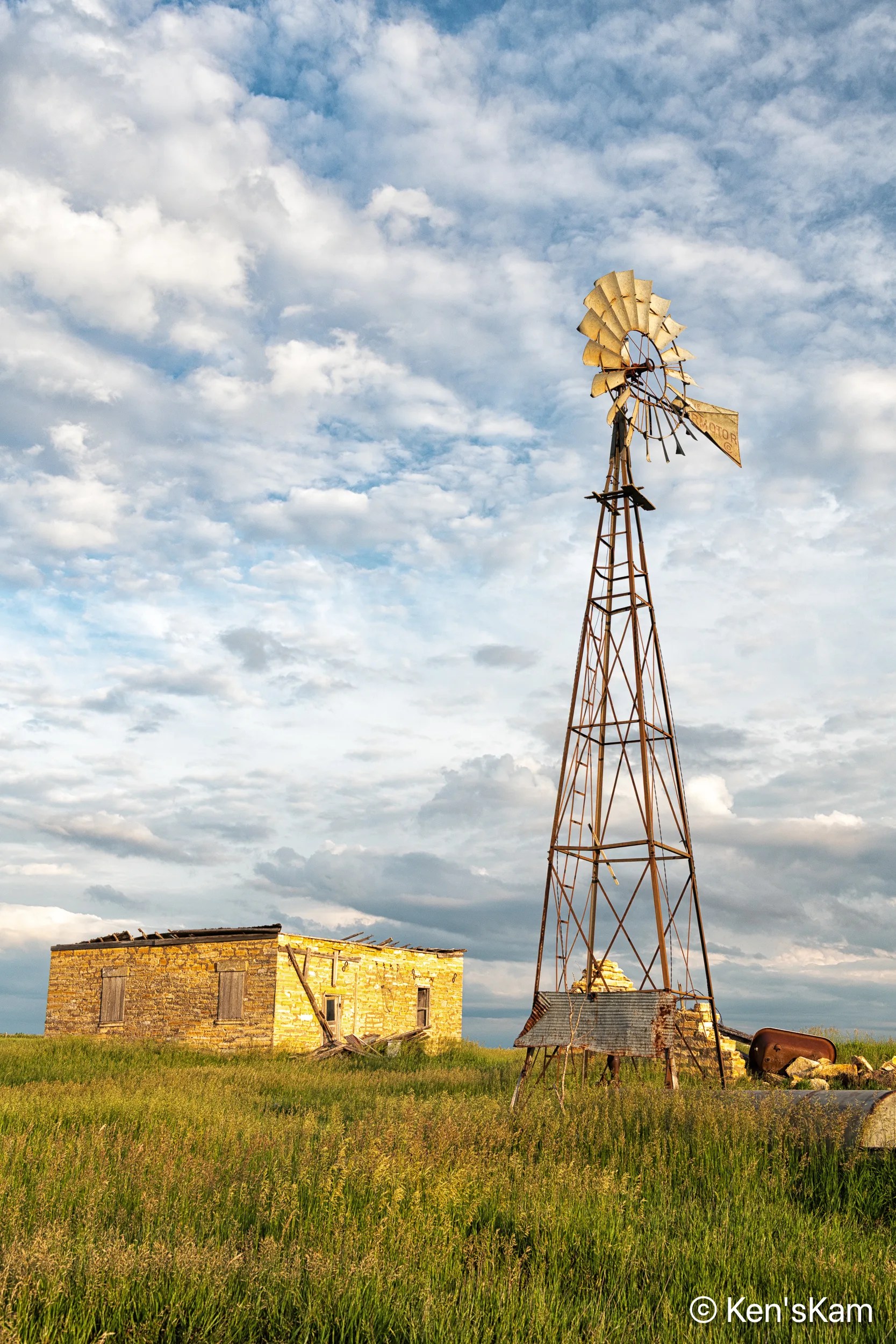
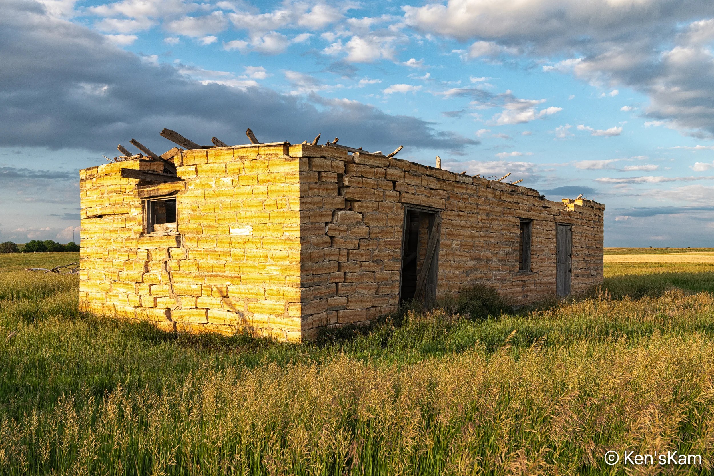
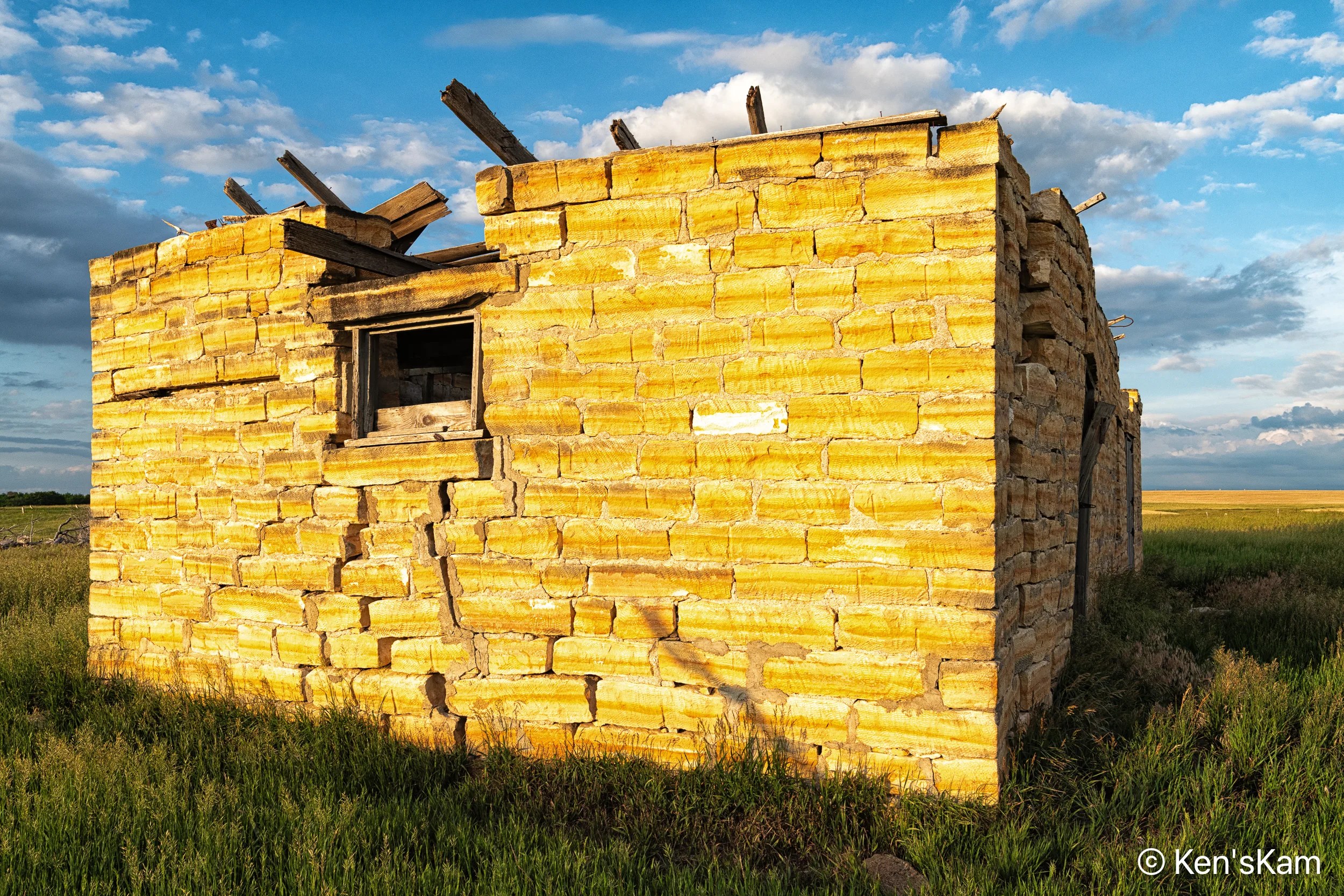
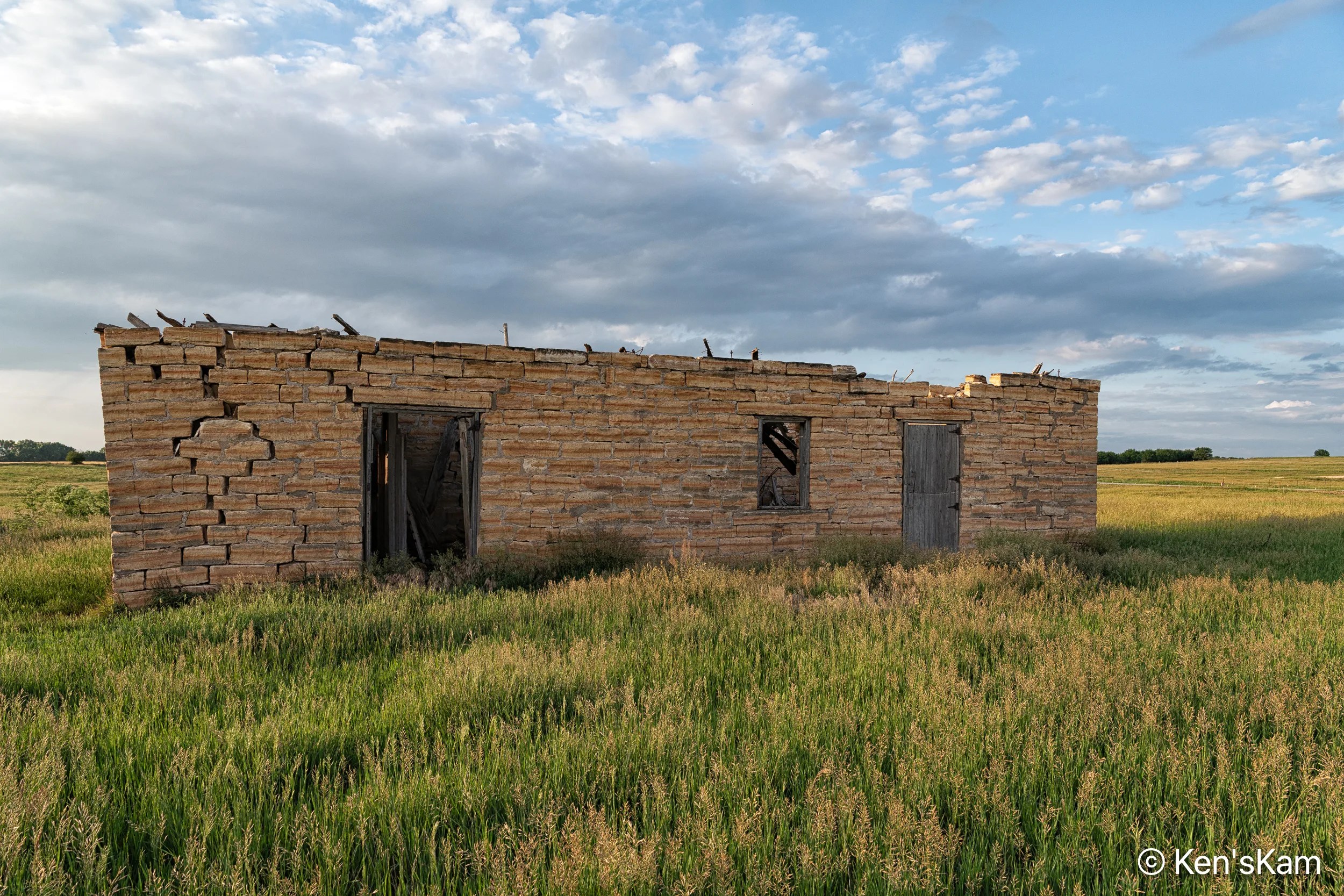
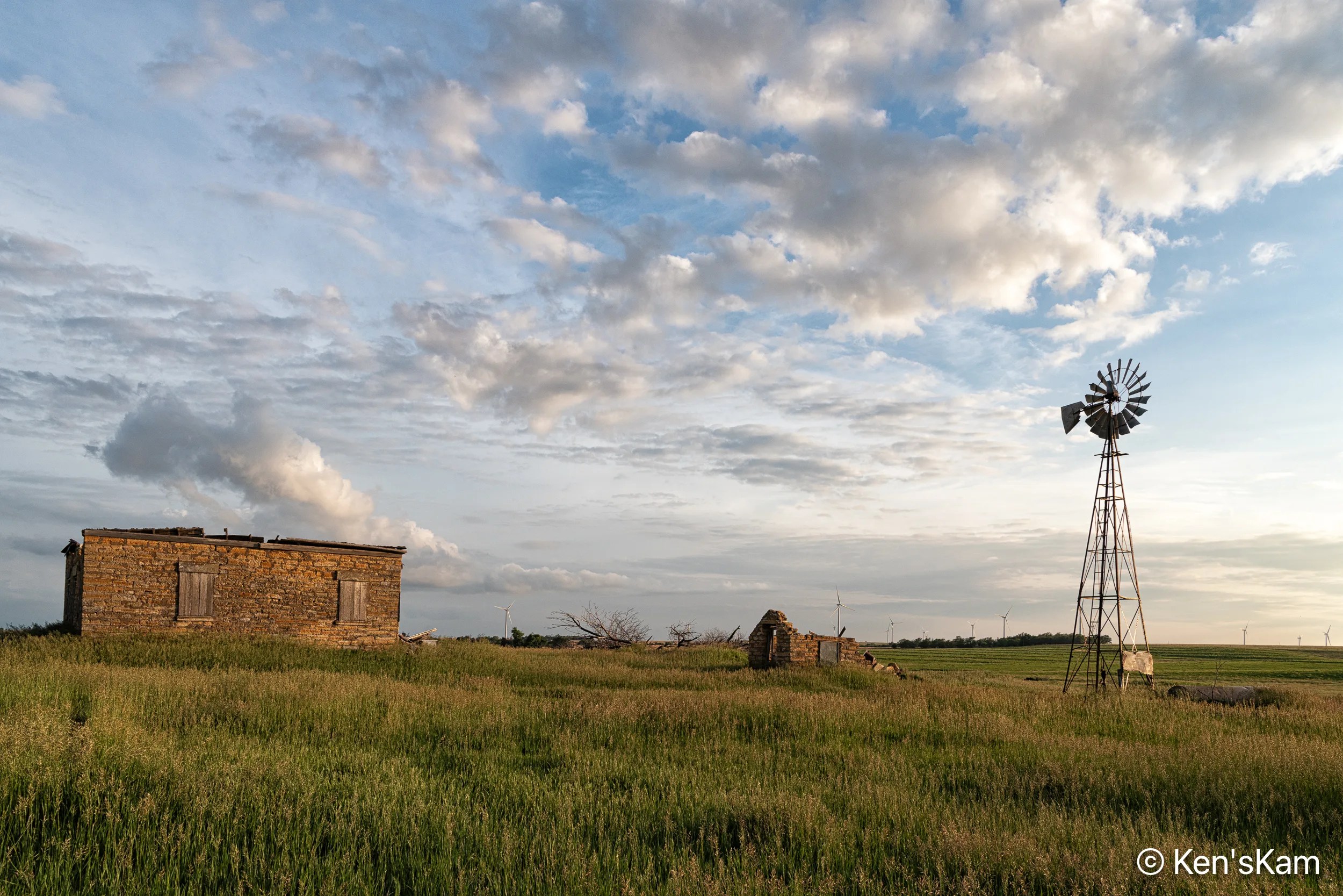
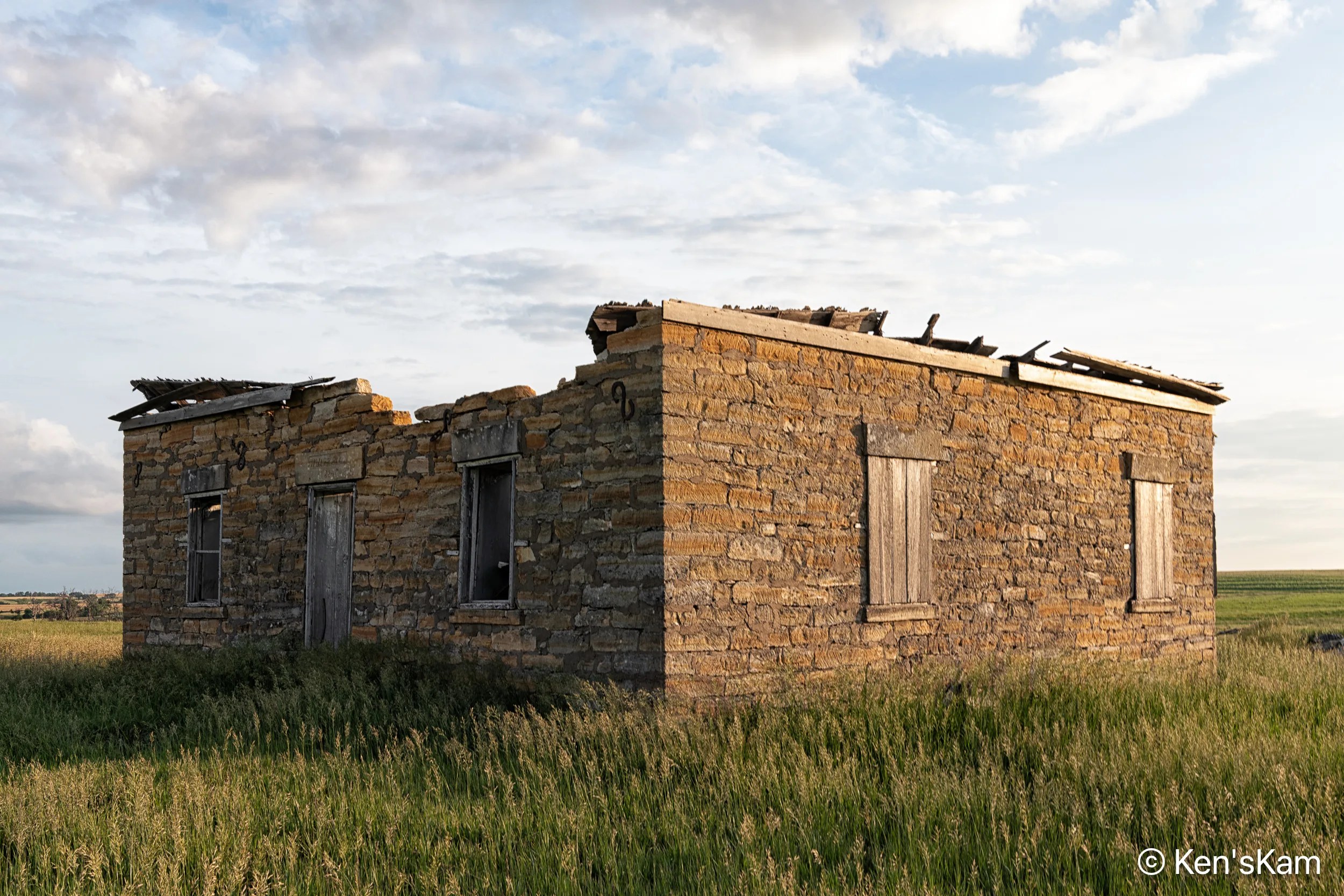
It is unusual for me to come across such finds as this late in the day with the sun low in the sky or with such great clouds in the sky from a clearing rain storm. I had to walk through tall grass to get near enough to shoot this old homestead in Middle America.
The title for this image is inspired by the small object I spotted in the upper left corner of the door frame. I know that object might be too small in this image for a viewer to identify, but it is an old Prince Albert tobacco tin. Prince Albert tobacco is still produced and it was very common and popular, when I was a kid growing up. Empty, discarded tins like this were common litter items back then.
There are modern electric power generating windmills on the far horizon in this image, indicating the continuity of wind energy in Middle America from the past into the future.