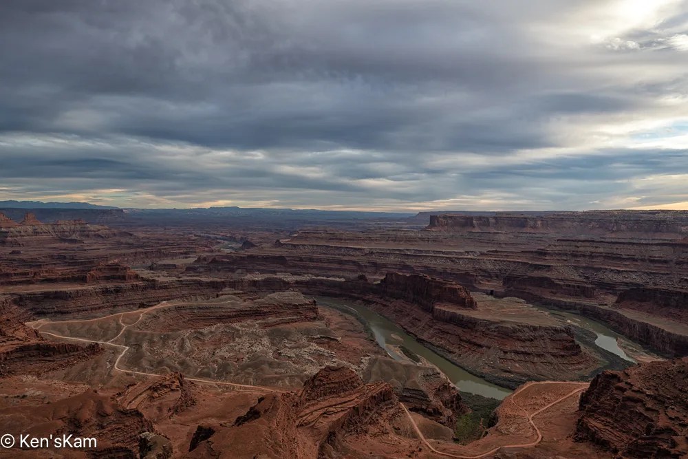
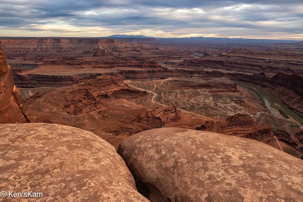
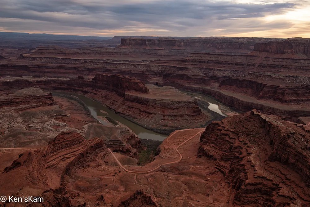
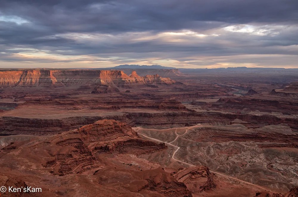
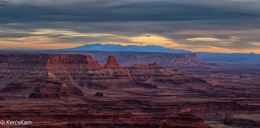
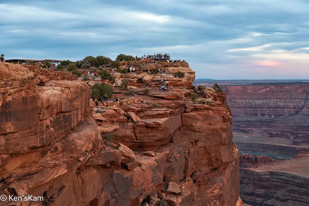
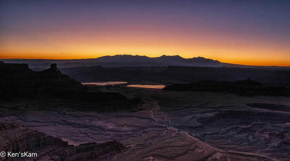
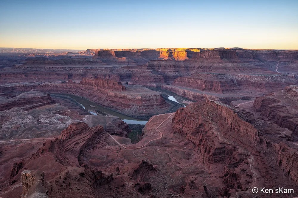
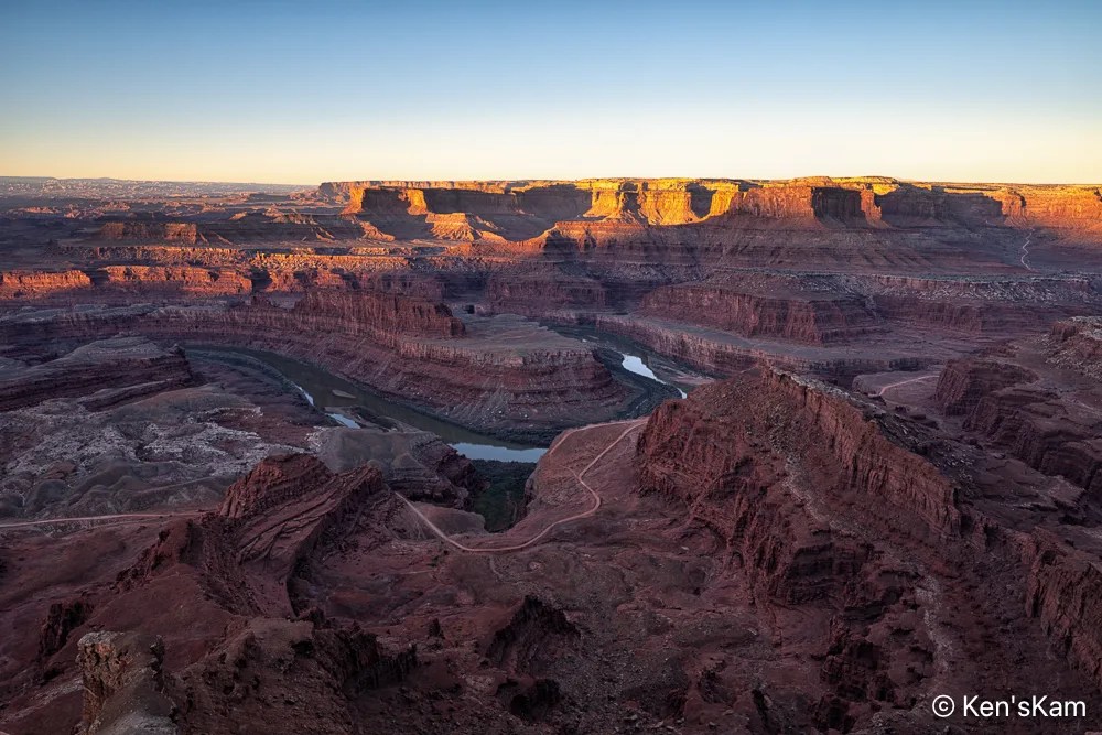
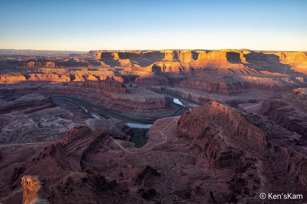
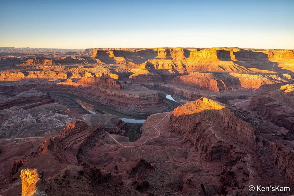
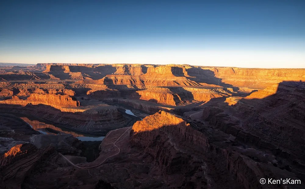
I try to keep my blogs in chronological order and use images in my blogs with links to my photos posted to Flickr, but sometimes I slip up. A few days ago, I realized that somehow I had skipped editing sunset photos made the first day we were at Dead Horse Point, Utah and I had begun to post photos to Flickr from the second evening at Dead Horse Point. So I’m going to violate my chronological order for at least portions of these two days of shooting, posting images from day 2 ahead of day 1.
We went out early on day 2 at Dead Horse Point for sunrise photography.
I set up my camera and watched the sunrise light as it moved across the wonderful and rugged landscape at Dead Horse Point, making a number of images for a sunrise sequence.
On my final afternoon in Sedona in August, 2024, I decided to go back to Bell Rock and to take the trail up Bell Rock to shoot at sunset.
There were still tourist about, but not so many as during the middle of the day. I’m guessing most tourist had been out during the middle of the day and were back in town for dinner at this late time of the day.
The Bell Rock trail is a wide, gently sloped, gravely path at the beginning and becomes more rocky and steep fairly quickly. Yet, it is mostly easy, with a few big steps, with one notable exception.
I got to one point, where I was not sure where the official trail went. There was a big rock in front of me with an obvious trail marker on top of the rock. There were a couple of young, female hikers, sitting on a rock there, enjoying a late day meal. I asked them about the trail and they indicated that it had to continue on top of the big rock, but they could see no safe way they could continue. One either had to somehow climb the rock, which had a step like rock at its base or navigate a narrow crevice on the other side of the rock. They said it was their first day in this area and they did not want to risk an injury and not be able to enjoy the rest of their stay here, so they stopped at this point.
I considered my options and decided I agreed with them about the risk of continuing on the officially marked route. I looked around, considered and ruled out another option, before deciding I saw a possible route that I could access by backtracking a little.
That alternate route was still not as easy as it looked from a distance. It involved climbing up onto two rock ledges. I laid my tripod and camera up upon each of those ledges in turn and climbed up on my hands and knees (and those hard rocks hurt old knees). After a little more navigation, I got back onto the official trail. Now I had to hope that I could safely get back down.
I shot this panorama with my iPhone. The rock features from right to left are: Bell Rock, Courthouse Butte, Lee Mountain and unidentified ones on the far left.
Upon getting as high up on the Bell Rock slope as I could safely do, it was still well before sunset, yet most of Bell Rock was already in the shade of features to the west. It was obvious that the light illuminating the very peak of Bell Rock was the best “Golden Hour Light” that I would get today. So I made a couple of images and moved around on the rock ledge below this feature to photography the other local features.
This wraps up my photography in the area around Sedona, Arizona in August of 2024.
Thanks for following,
Ken
P.S. Obviously, I made it back down safely, otherwise this post would not exist. I took the official trail down, sliding down that big rock on my rear end until my feet reached the step rock at its base.
Near Mono Lake there is a volcanic cone called Panum. Panum is not a dormant volcano. This area is monitored by geologists for any signs of activity that might signal another eruption.
There is a 2.1 mile loop trail around the Panum crater. My son and I hike a portion of this trail. Mono Lake and the Sierra Nevada are visible from portions of the trail.
Obsidian Sitter
Large chunks of obsidian are common along the hiking trail.
ObsidianMore ObsidianLayered Obsidian and PumiceLayers
In addition to the large chunks of obsidian there are common layered rocks of obsidian and pumice scattered around the area.
Relic – Monochrome of an old tree remnant.A view of the Sierra Nevada from the crater trail
A portion of the trail is visible in the lower portion of this image.
My son and I made a trip into Death Valley from Lone Pine, thinking we might return for more serious photography, but the distance and the timing difficulty steered us away from that idea.
Yet it was good to see Badwater Basin with the shallow lake created by the recent heavy rains. It appears that this unusual event attracted others, too. there were lots of people, more than I had seen there in previous visits, in the park.
The salt is showing indications of forming geometrical patterns typical of this salt as it dries. The heavy rains have destroyed or muted such patterns.
We stopped a little short of the turn in the road, which goes by the traditional Devil’s Golf Course, but this rugged salt is what we would expect to see there. The rains have muted some of the sharp features that I recall from previous visits.
This monochrome version of an iPhone photo was chosen for Flickr’s Explore page July 25, 2024. The bright white clouds behind the arch draws the eye to the arch. Against a clear, bland sky, a photo of this arch would be much less interesting, maybe even boring.
I called this natural rock feature “The Head”, because it looks like a head on a neck looking across the broad valley into the Sierra Nevada Mountains, maybe thinking it would be cooler to be in those mountains, under a blanket of snow, rather than stuck down here forever.