Utah – March 2026 – Part 21

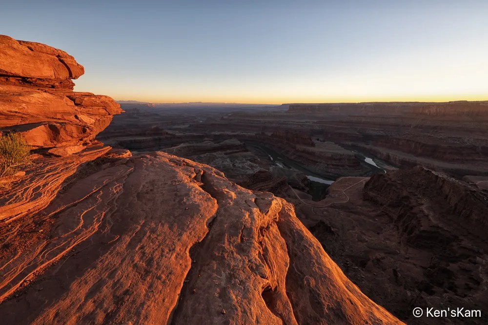
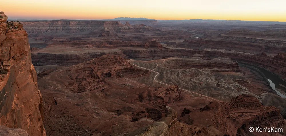
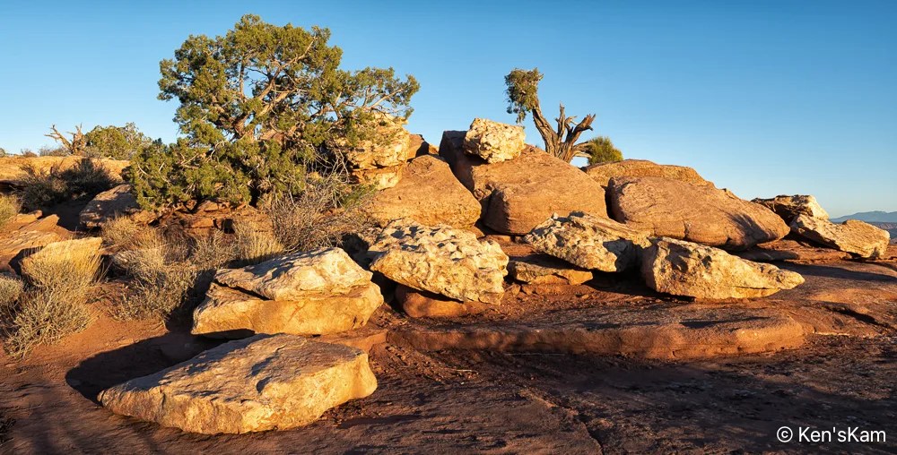
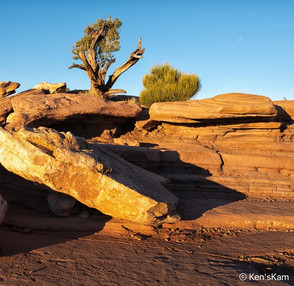
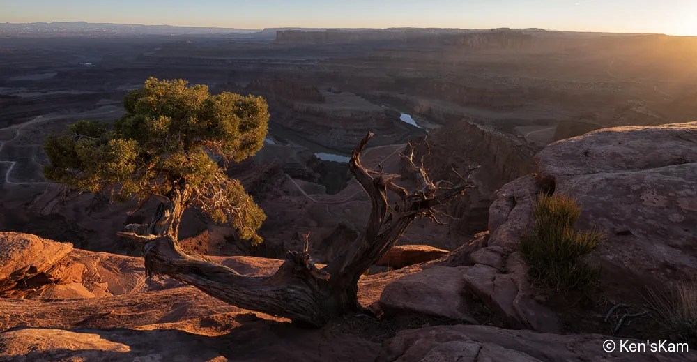
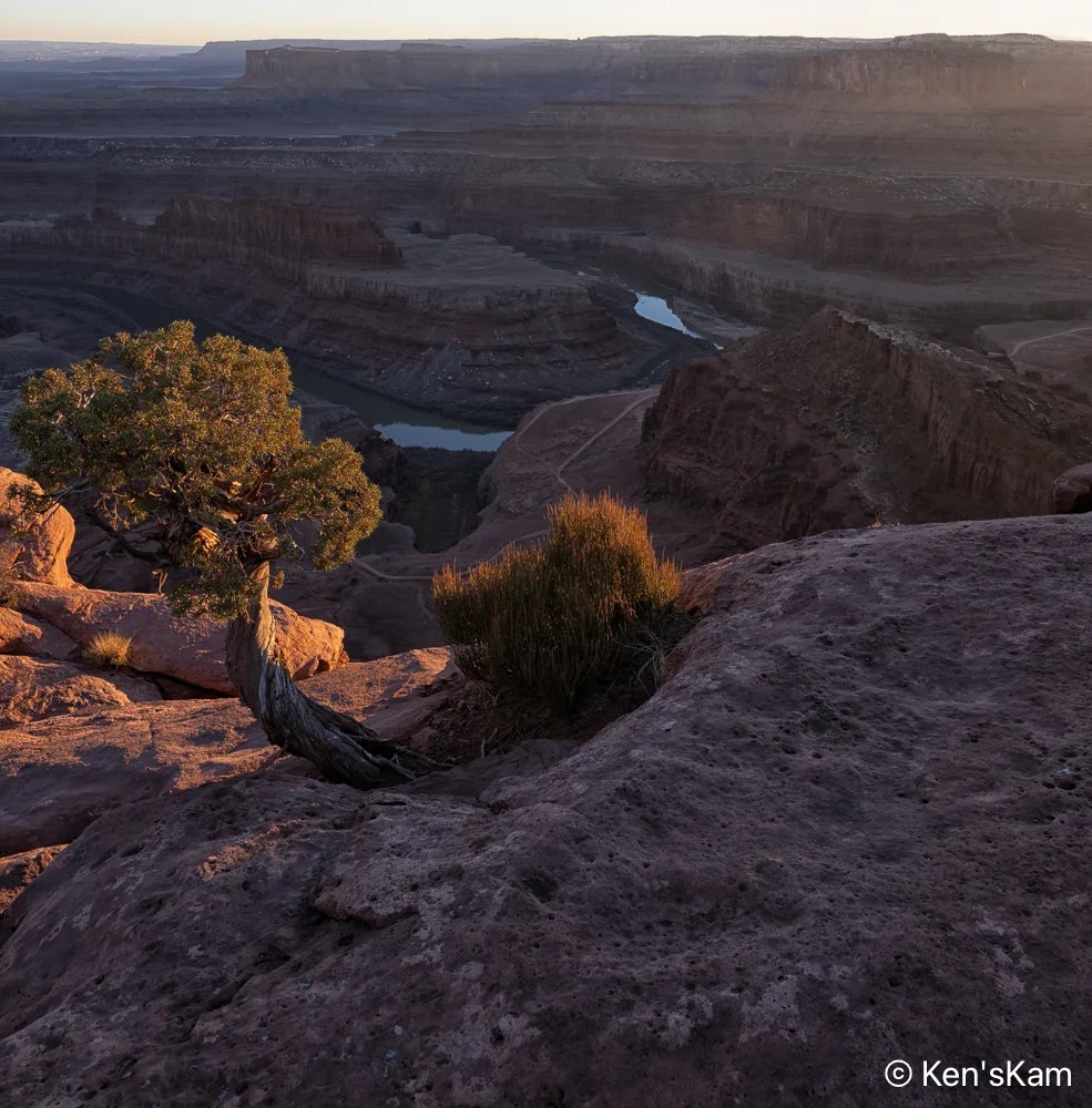
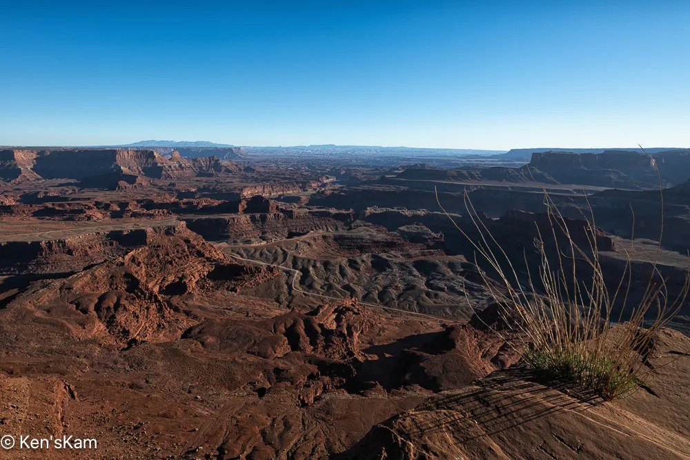
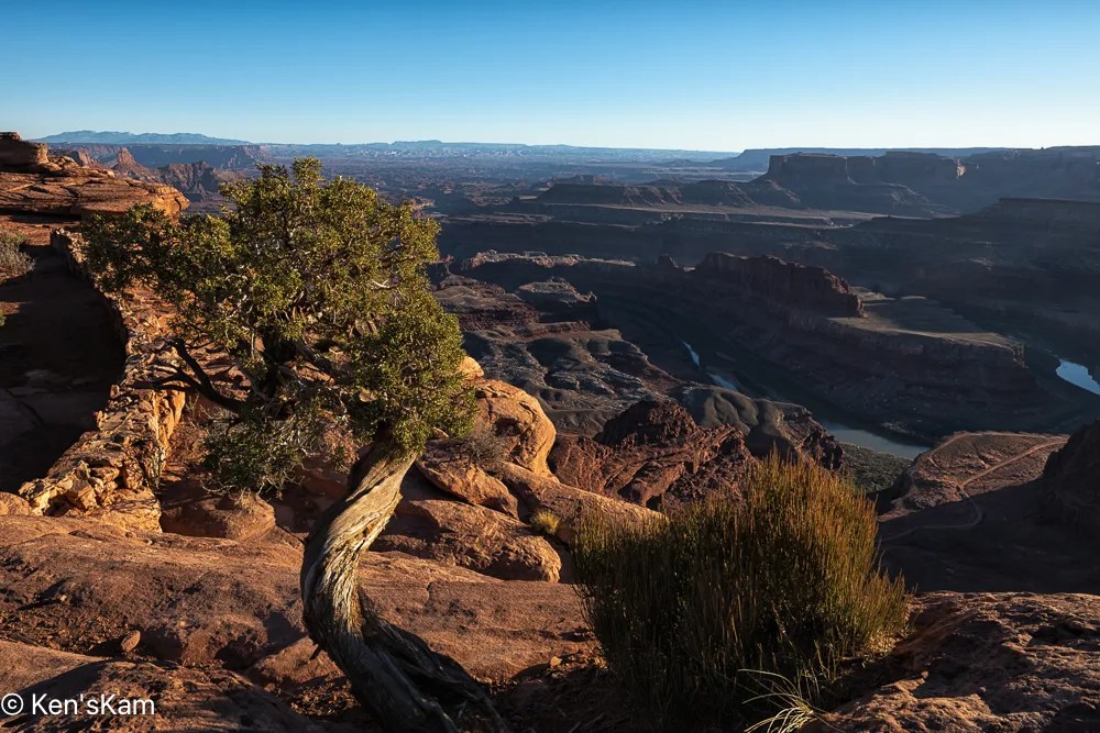
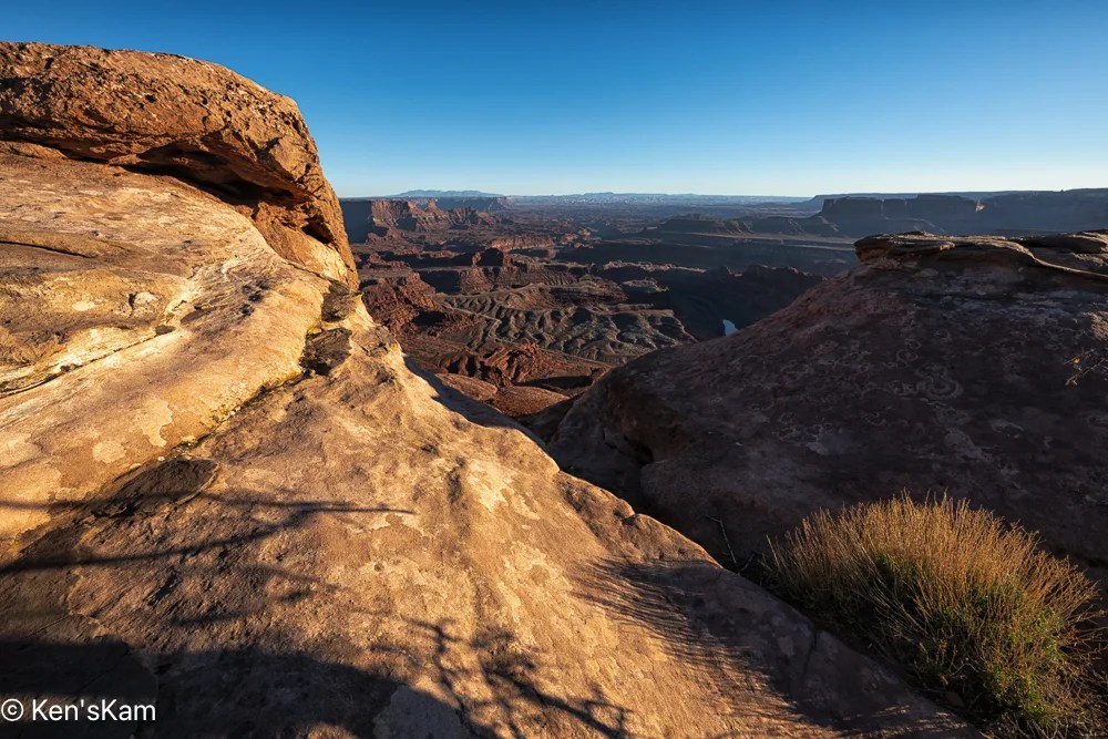
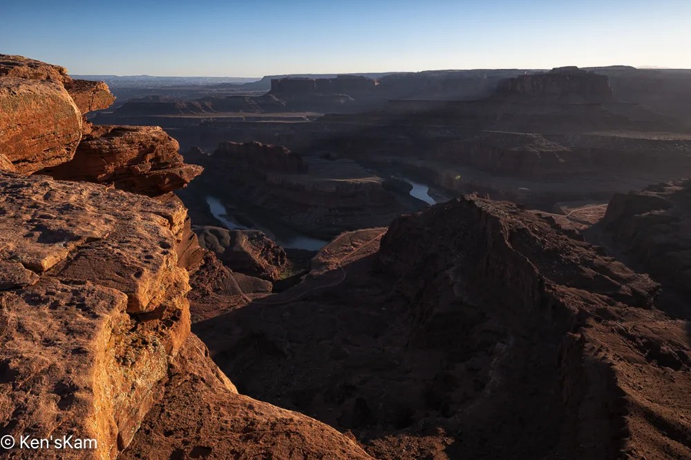
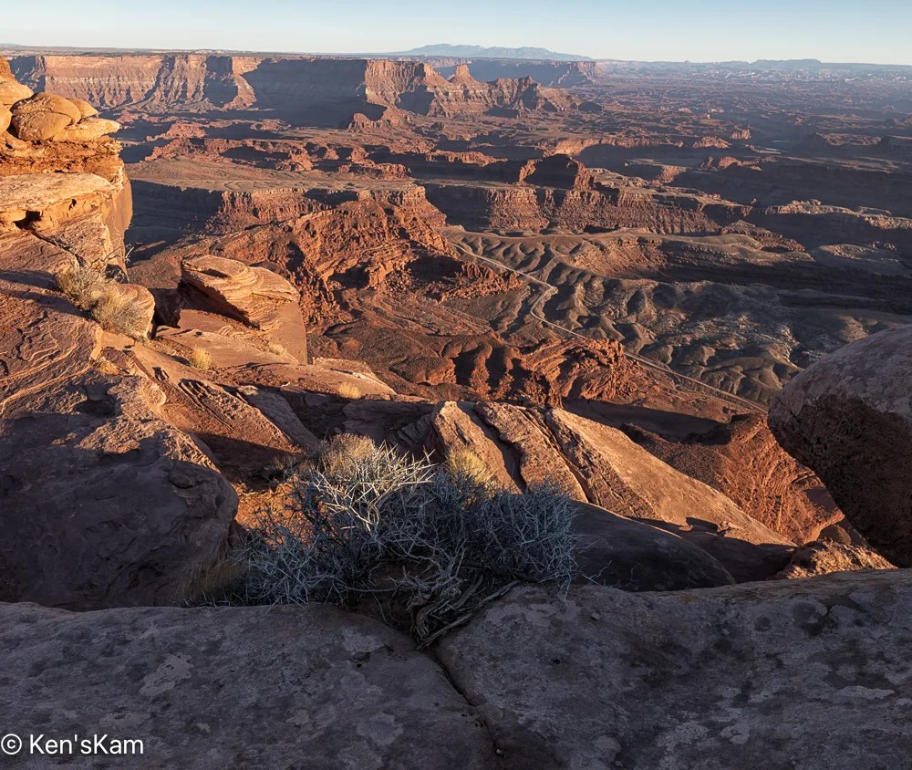
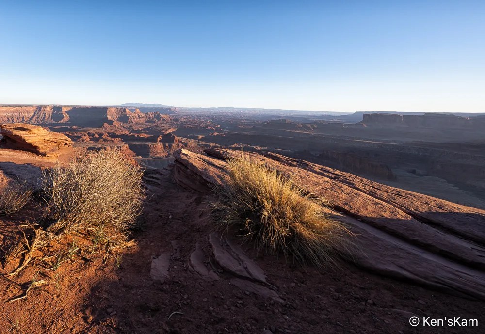
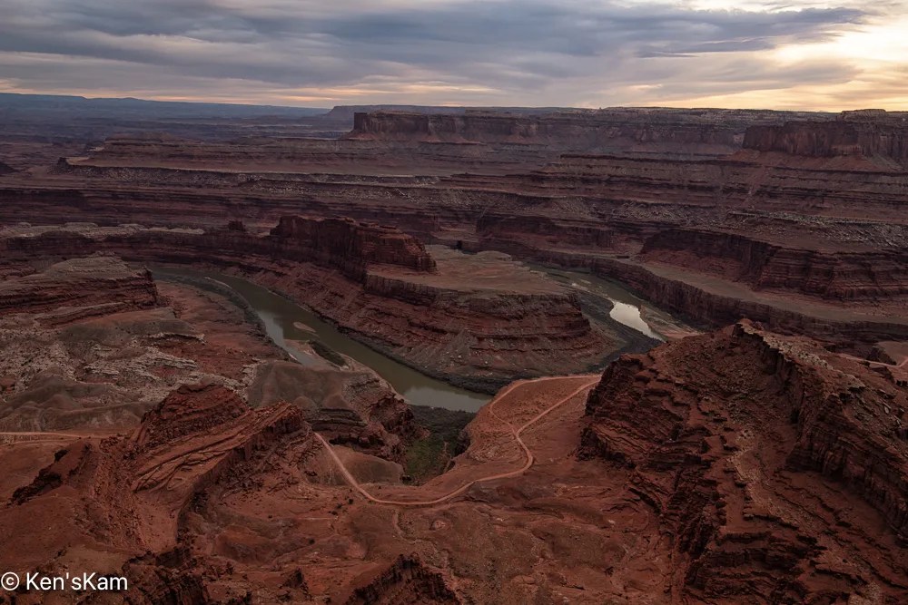
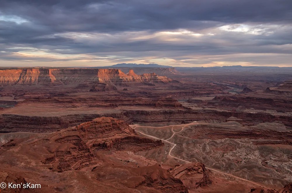
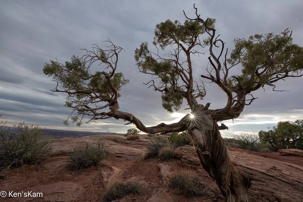
This is a continuation of photography at Dead Horse Point, Utah on an overcast evening in March, 2026.
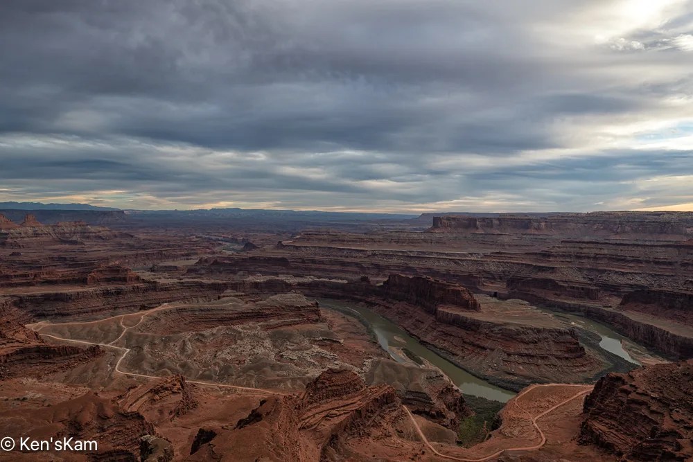
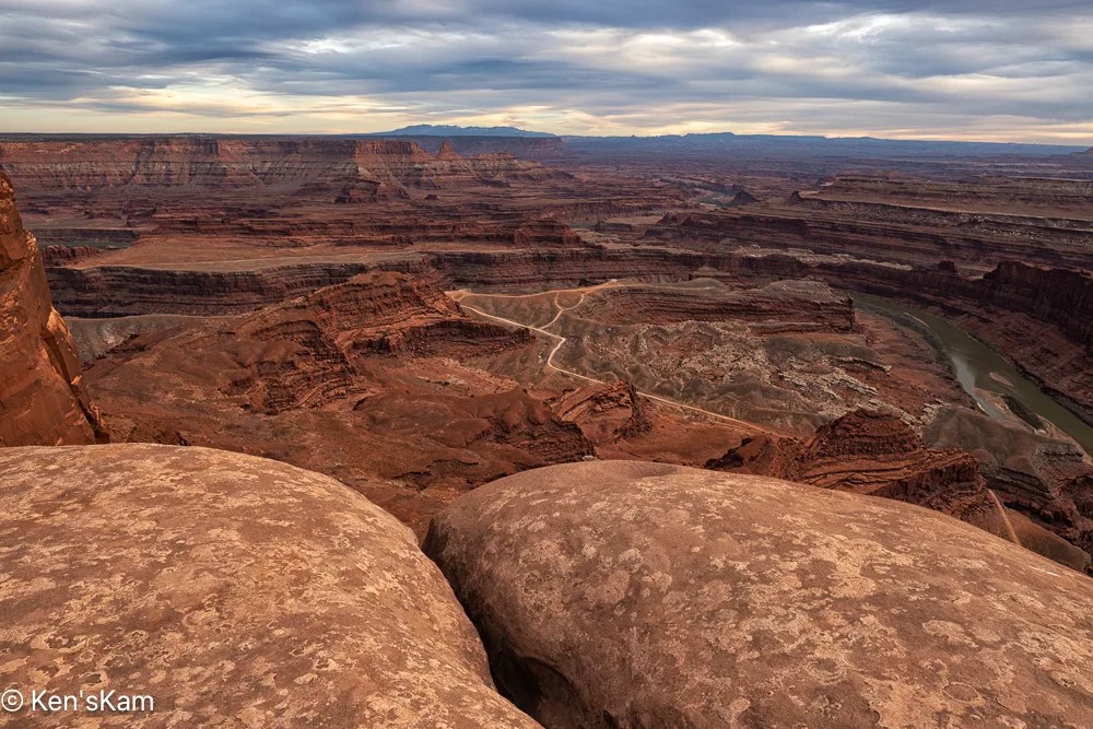
Overcast Evening 2
Overcast Evening 3
Overcast Evening 4
Overcast Sunset

Ah, at last a little muted sunset light on those distant cliffs.
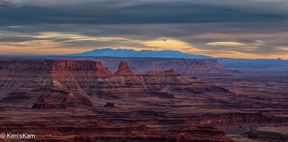
Overcast Sunset 2
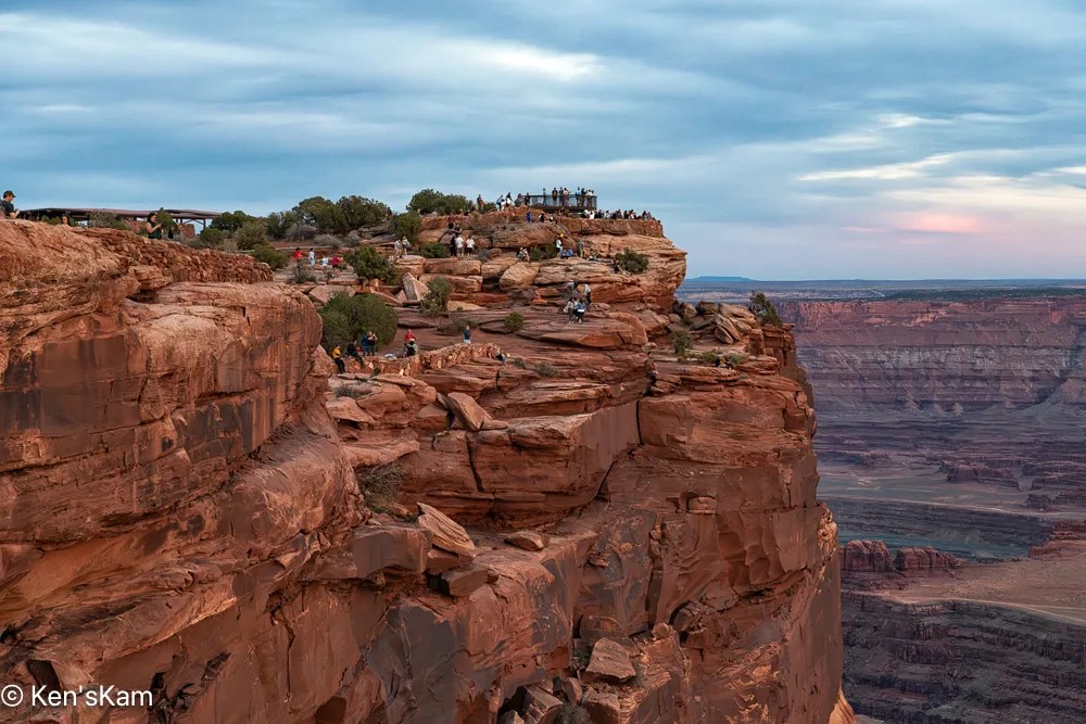
Like Sea Birds on an Island

This final image shows that we were not alone at this popular view point.

Thanks for following,

Ken


Utah – March 2026 – Part 20

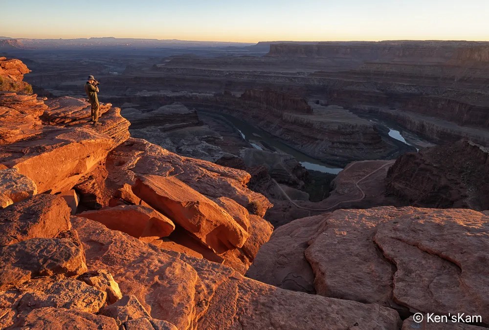
After driving Potash Road and the Shafer Trail, we returned to Dead Horse Point for sunset photography. It was a heavily overcast evening, so prospects for a golden sunset hour did not look promising.
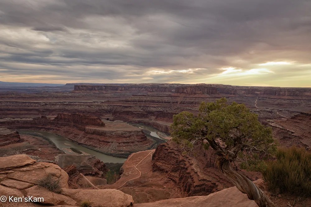
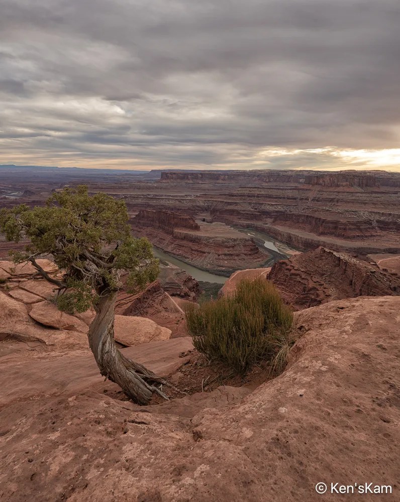
Overcast Evening 1
Overcast Evening 2
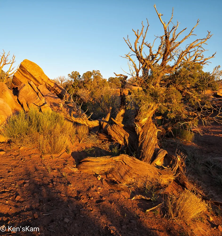
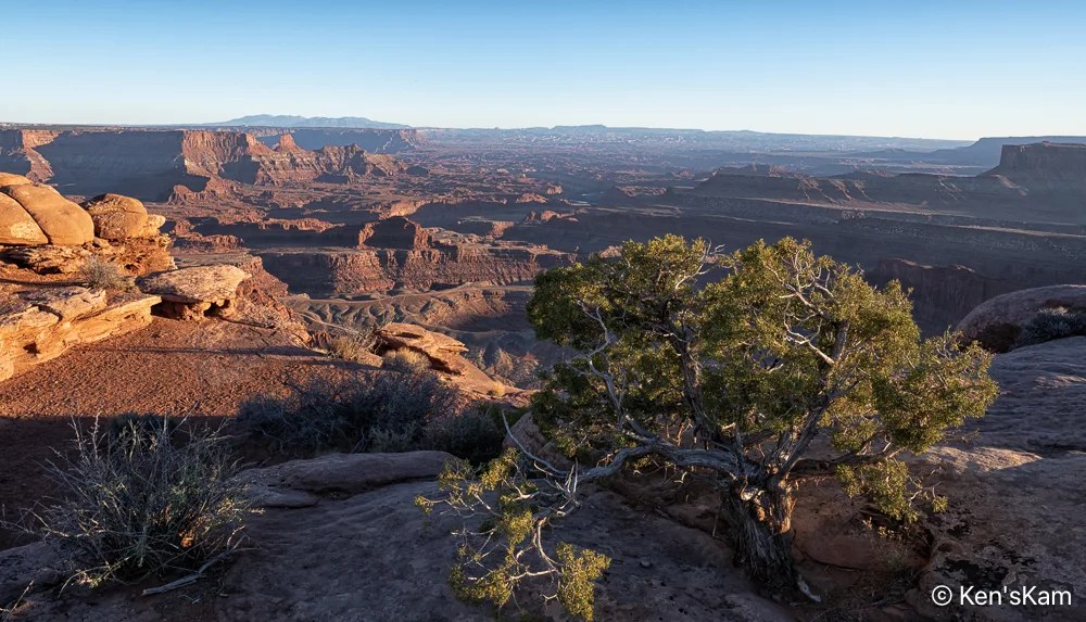
Sunshine on its Shoulder

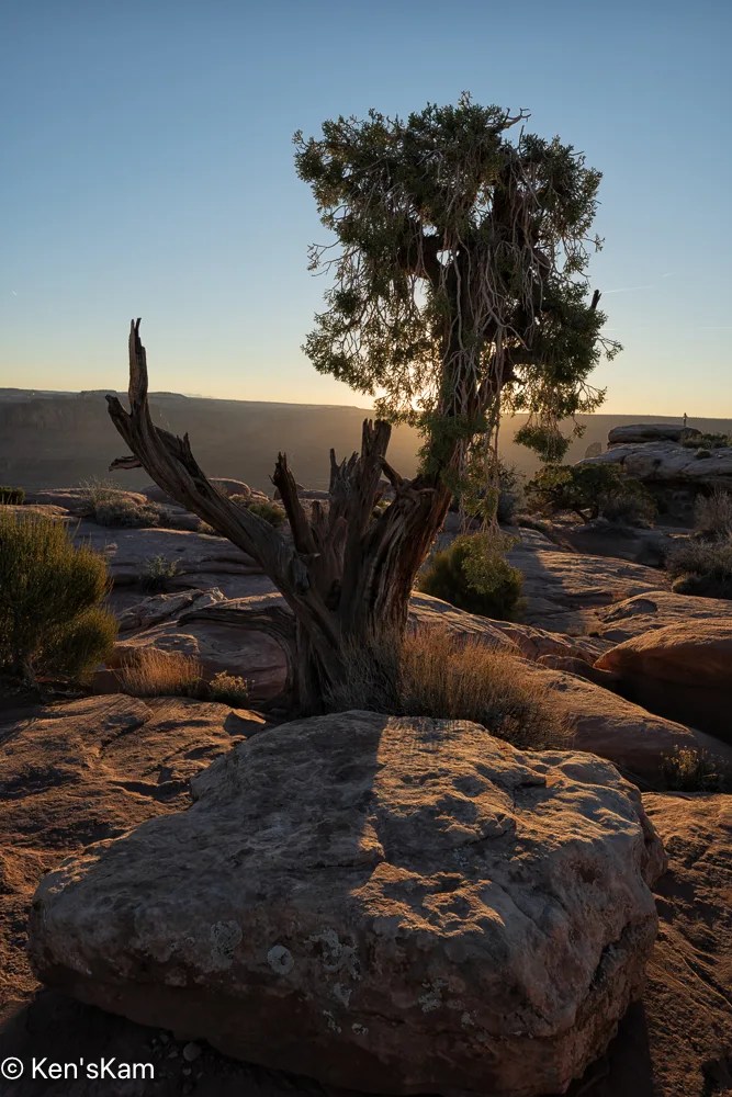
This tree creature seems to be relishing the sunshine on its shoulder.
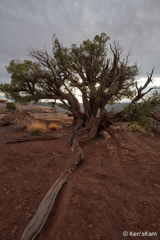
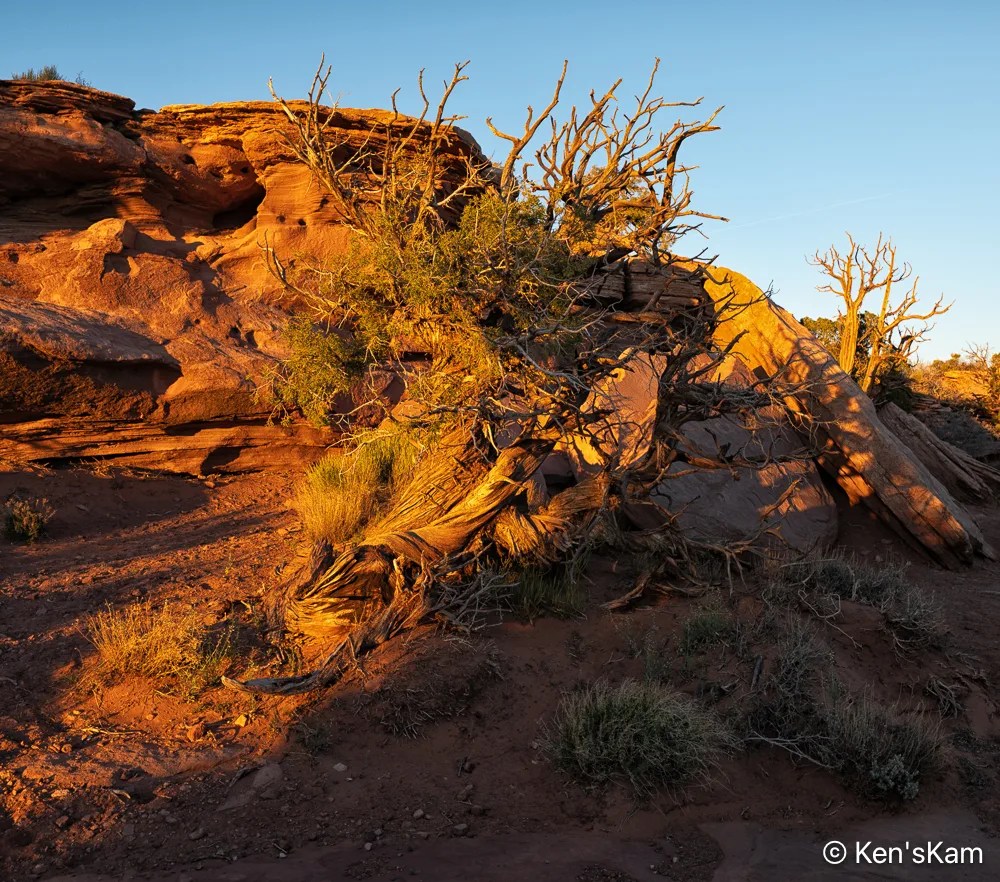
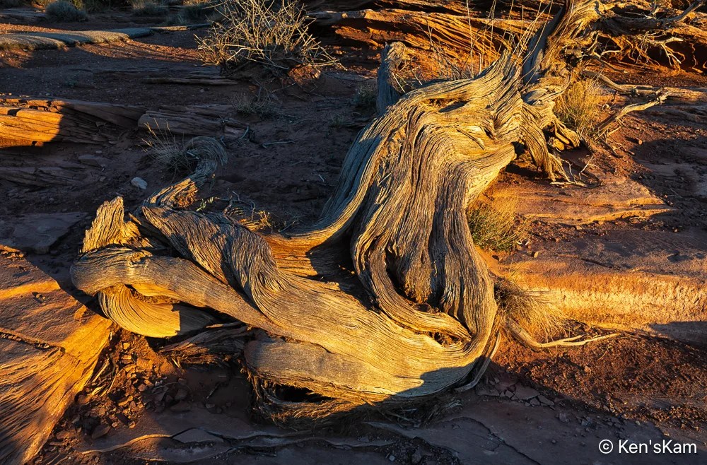
A Long Root

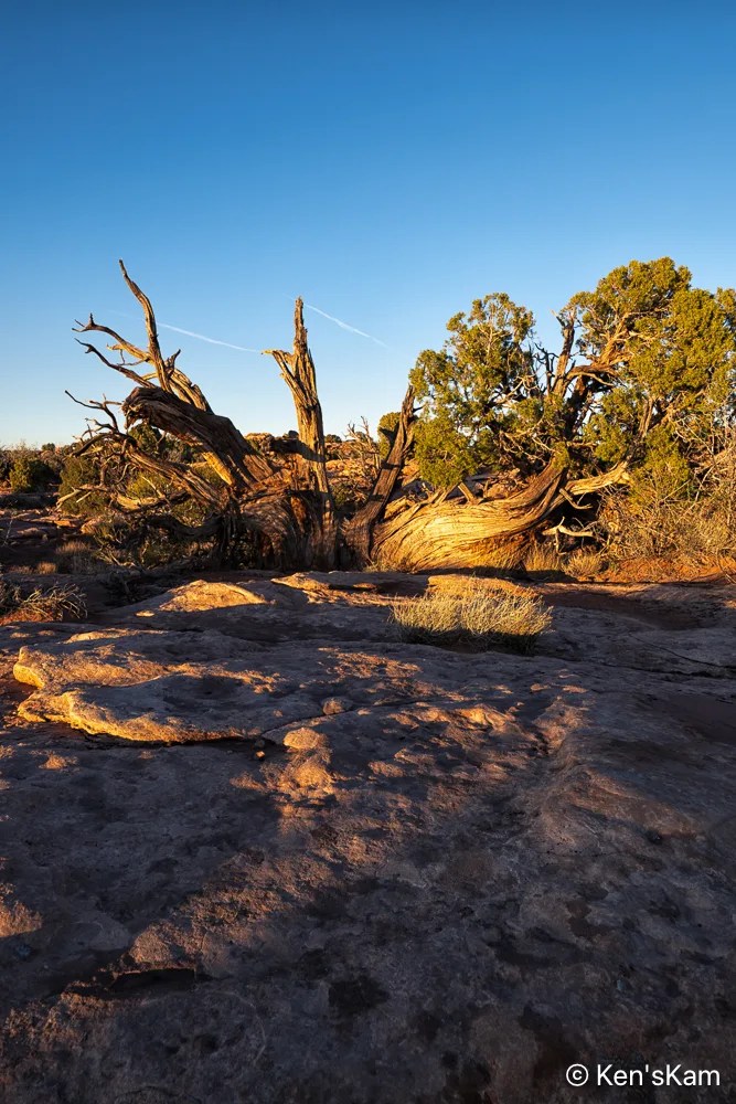
Twisting through the desert dust, a strong anchor holding its life form firmly to the earth.
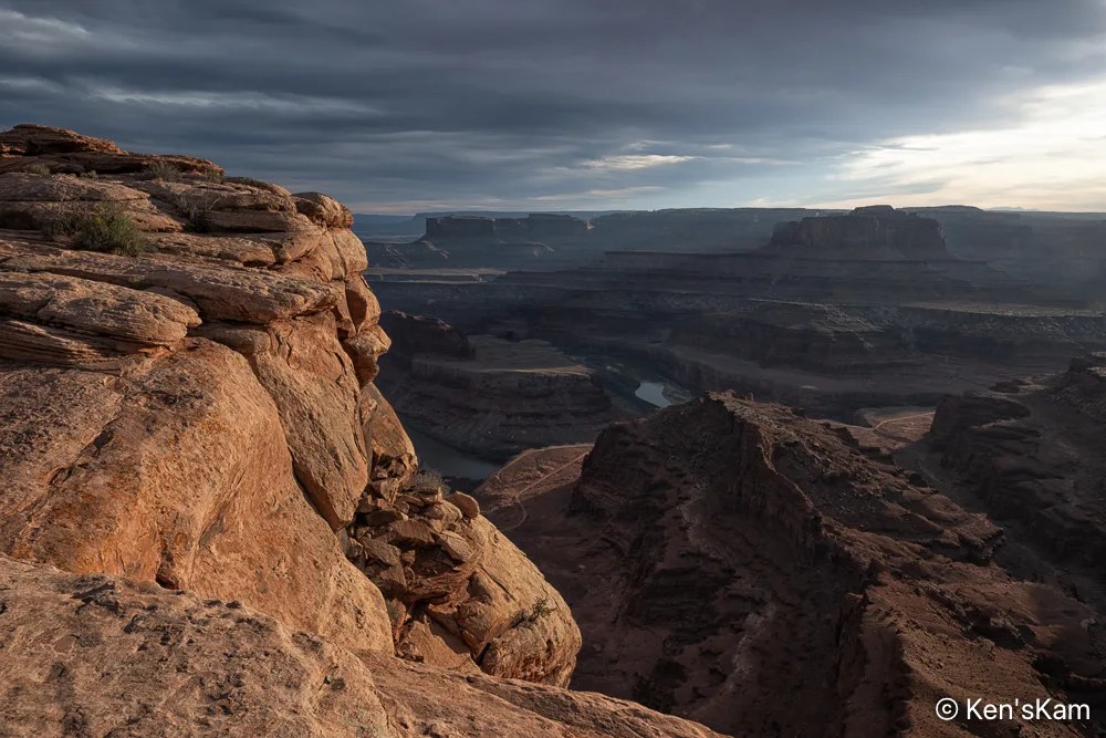
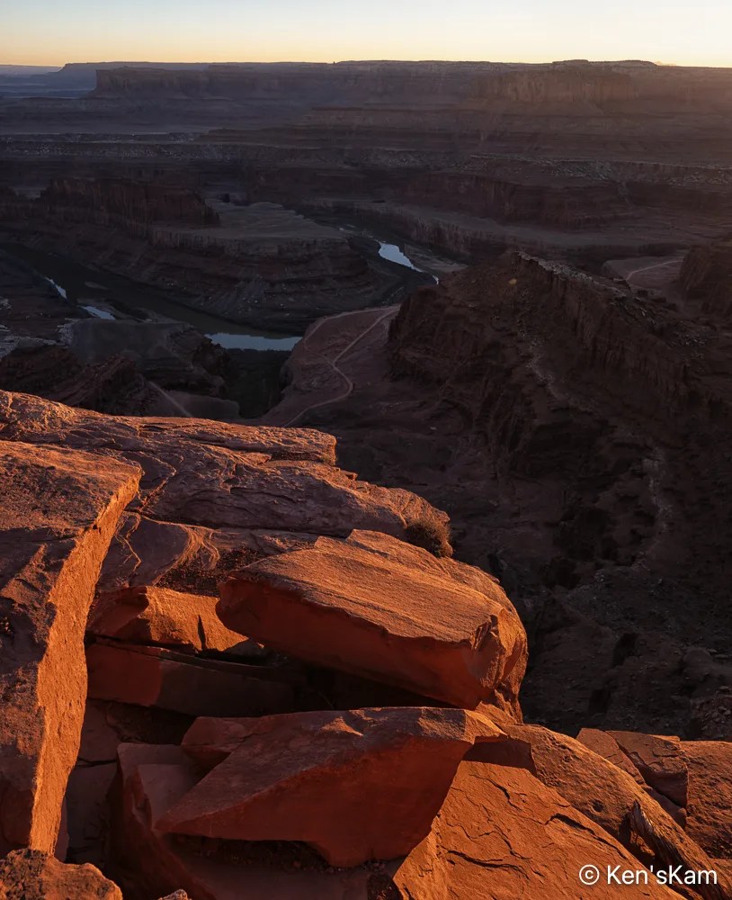
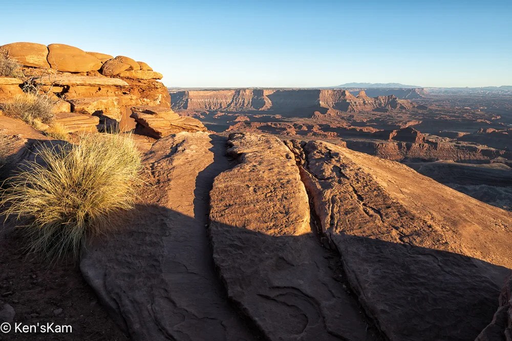
The Edge of Darkness

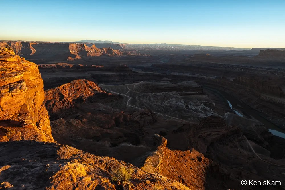
A portion of a nearby coppery cliff edge glows in late day sunlight, thick desert clouds envelope the landscape below in deep shadow.
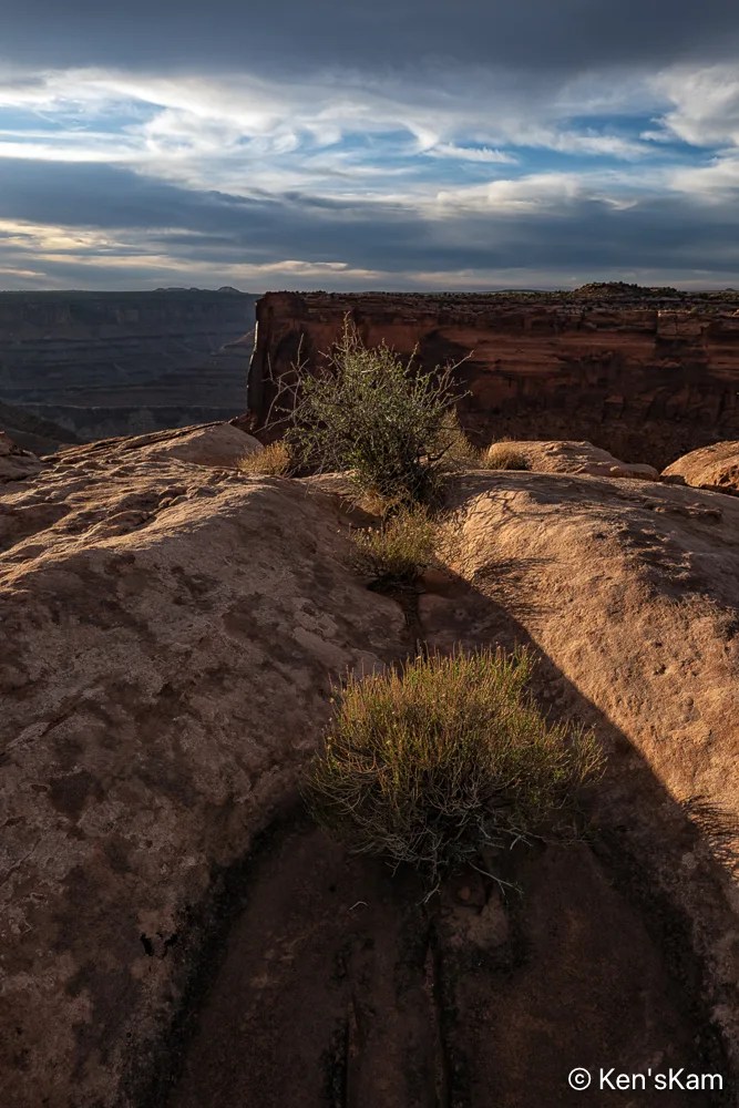
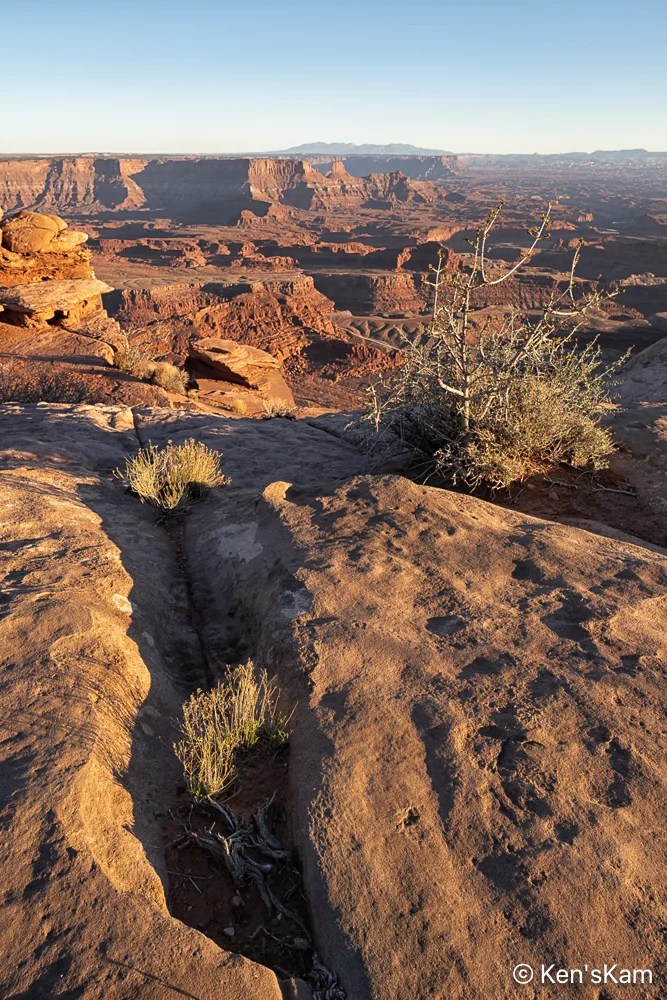
Memories of Rain

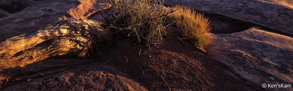
Desert plants sink their roots into the thin soil and hard rock, where scant moisture hides from the harsh sun. The V shape of the niche in the rock is reminiscent of similar shapes seen in Georgia O’Keefe’s artwork.

Thanks for following,

Ken


Utah – March 2026 – Part 16

I’ve fallen behind in my normal blog post schedule, being preoccupied with other summer time activities. I’ll try to get back to a more regular schedule.

Sunrise Golden Hour 1

I used this geological feature as a foreground for star photography. As usual, I’m slow at processing those night images, so the star photos will have to be in a later post.

Sunrise Golden Hour 2
Sky Line
Sunrise Golden Hour 4
Early Morning Light

Most of the golden hour light was gone by the time I made ‘Early Morning Light’, but I really like the light and shadows on the undulating foreground.

After shooting sunrise from our campsite, we explored more of the local area, driving a number of side roads into the desert.

Crowns

These rock shapes remind me of crowns that might be worn by kings and queens.

Desert Panorama
Sand, Plants and Hills

‘Sand, Plants, and Hills’ is a paraphrase from the Eagles’ song ‘A Horse with No Name’.

Gap Light

As evening approached, we set up for more night sky photography.

Thanks for following,

Ken


Utah – March 2026 – Part 15

There is an arch on a bluff just off of Buckhorn Draw Road, which we stopped to check out on our way back from Little Grand Canyon.

Arch Along Buckhorn Draw Road

As we drove back along the route we had taken to get to Utah’s Little Grand Canyon, we stopped to check out a side road near a large campground, where we were considering staying; but as we explored the side road, we discovered more interesting scenery and plenty of open campsites at which to enjoy the scenery.

Our Campsite off of Mexican Mountain Road, Utah

Look closely and my Sportsmobile can be spotted near the center of this image. If just glancing at the image, the Sportsmobile might be mistaken for a natural feature.

Campsite, Mexican Mountain Road, Utah

This zoomed in image shows the campsite location a bit better.

Mexican Mountain Road, Utah, Landscape Pano 1

This pano, made from our campsite, is of geological features across the roadway.

Across the Roadway 2
Across the Roadway 3
Near Sunset

We will shoot star photographs at this location. These images were taken not only to show the local scenery, but to select compositions for night sky foregrounds.

More local images and exploration images to follow,

Ken


Utah – March 2026 – Part 13

This is the second part of Golden Hour Sunset photography at Utah’s Little Grand Canyon.

Big Sky Golden Hour
Golden Hour 11
Golden Hour 12

I used this old tree skeleton as a foreground in a number of compositions as the sun set and light moved up the tree leaving the base in shadow.

Golden Hour 13
Golden Hour 14
Golden Hour 15
Golden Hour 16

Only the rocks on the distant horizon have golden hour light in ‘Golden Hour 16’, but the sky is gaining color.

Big Sky at Golden Hour End

When shooting at golden hour, it is rewarding to look around and towards the western sky, as the setting sun often creates wonderful colors in clouds, which might go unnoticed if one focuses too much on the eastern sky.

Sunset Clouds (iPhone image)

After sunset, we set our cameras up to shoot the night sky. As usual, I’m slow in processing those many, many images. So I’ll have to postpone the night sky blog and move onto sunrise images in the next post.

Thanks for following,

Ken


Utah – March 2026 – Part 12

The previous post contained a few of my pre-golden hour images at Utah’s “Little Grand Canyon”. This post has a few of the golden hour images.

Golden Hour 1
Golden Hour 2
Golden Hour 3

That bush skeleton was mostly in shadow before golden hour, so only a tiny portion of it is illuminated and the same is true for the tree skeleton in the image below.

Golden Hour 4
Golden Hour 5
Golden Hour 6

Sometimes it appears the best of golden hour is over, then it comes again, as clouds move on the horizon or the sun dips below clouds.

Golden Hour 7
Golden Hour 8
Golden Hour 9
Golden Hour 10

Stay tuned for part 2 of Golden Hour at Utah’s Little Grand Canyon,

Ken


Utah – March 2026 – Part 1 – Plan C

It is spring (or almost) and time for another spring trip with my oldest son. Traveling in the U.S. for outdoor activities in the spring, one always has to consider the weather at potential destinations.

The initial plan this year was to fly into Portland, Oregon, drive to Cannon Beach for photography along the Oregon coastline, knowing that the typical rainy weather along the coast might result in last minute changes, and it did. The forecast for the time interval available for this trip was for cool, rainy, overcast weather every day, which can offer some opportunities for photography, but might not be so pleasant every day. So cancel plan A. Move to Plan B.

Plan B was to go to the same area as last year, where there were still some possibilities to see and photograph in some locales not visited during previous trips. Then a  few days before executing Plan B, Plan C came up. Plan C was to explore an area of Utah seen superficially and partially, when passing through on the way to other destinations. Plan C was executed.

I drove two long days to reach the first destination, a first come first serve, free camping area on BLM (Bureau of Land Management) public land not far off of I70 west of Green River, Utah. This area is said to be popular with off roaders and I wanted to be sure to get here to find a campsite before the weekend crowd arrived. As it turned out, while there were a few scattered campers, including those hauling their offroad vehicles, there was no large crowd and I easily found a suitable campsite, somewhat secluded from others.

Sunset Panorama

I shot the sunset panorama standing on the roof rack of my vehicle. If one looks closely, the tops of a few other campers can be seen in this image.

My son met me here to begin our exploration, making this our initial home base. Before he arrived, I had some time to walk around this area, shooting desert scenes with my iPhone. So stay tuned for part 2 to see some of those images.

Thanks for following,

Ken


Yosemite National Park – Part 7

This post will wrap up my photography in Yosemite National Park, shooting the sunset golden hour at Yosemite Valley along the Merced River.

Aug13, 2024
Yosemite Valley Sunset Golden Hour 1
Aug13, 2024
Yosemite Valley Sunset Golden Hour 1A
Aug13, 2024
Yosemite Valley Sunset Golden Hour 1B
Aug13, 2024
Yosemite Valley Sunset Golden Hour 2
Aug13, 2024
Yosemite Valley Sunset Golden Hour 2A

I shot as the shadows creeped upward on the rock formations, pushing away the golden sunset light, so there are subtle differences between some of these images.

Aug13, 2024
Yosemite Valley Sunset Golden Hour 2B
Aug13, 2024
Yosemite Valley Sunset Golden Hour 3
Valley View, Yosemite Valley

The final image is near the very end of golden sunset hour, looking up river.

This wraps up my time in Yosemite.  Until next time,

Ken

Yosemite National Park – Part 1

After spending a few days in San Jose, California where we enjoyed their annual Jazz Festival and visiting with our son and daughter in law, we traveled to Yosemite NP, staying in lodging just outside the park.

Getting into the park during peak hours of the peak season requires a permit.  Fortunately, I was able to secure a permit good for three days, so we were able to drive into the park during the daily peak visiting hours and when going into the park for sunrise or sunset photos, I entered before or after peak hours, so I did not have to wait in line or stop at the entrance station.

Our lodging was not far from Tunnel View, which I had been informed was one of the best locations for photography, so I chose that site as my first sunset shoot.  Even though we had driven around main portions of the park, after checking into our lodging,  I had not scouted Tunnel View.  So I really had no idea what to expect at that location.

As I was driving the route to Tunnel View, I noted that the big rock features along my route were getting some really good late day light, which made me think this would be a good photography outing and I was noting other possible locations for shooting at sunset.

There are two parking areas at Tunnel View, where there were many people, but I had no problem finding a place to park at this late hour of the day.  After looking around, it appeared the best place from which to shoot was atop the stone wall bordering the parking lot in which I had chosen to pull into.

Tunnel View, Yosemite NP

I made a number of iPhone images well before sunset and converted these to monochrome, since the color images were not all that interesting.  The big feature on the left is El Capitan and in the distance, left of center, is Half Dome.

Tunnel View, Yosemite NP, iPhone Monochrome
Tunnel View, Yosemite NP

When golden hour arrived, it was obvious that due to the tall rocks behind me, most of the big rock features of Tunnel View would be in shade.

Tunnel View 2

I cropped in more closely for Tunnel View 2, trying to emphasize more of the golden hour light that only appeared on the very tops a few features here.

Tunnel View at Golden Hour

The image above is a focus stack of several images shot with a 24-70mm lens.

Sunset Clouds at Tunnel View 1

There were clouds in the sky, which got some sunset color, but even that was not spectacular and faded quickly.

Sunset Clouds at Tunnel View 2

I waited and watched the clouds as the sunset progressed, hopping for at least some last minute spectacular colors, but that never happened.

This is a wonderful natural scene, but I came away disappointed in my photography experience today.  Maybe I was not creative enough, or picked a poor place from which to shoot or maybe I was here at the wrong time, not in the best season, or I should have captured more images prior to golden hour.  Whatever…, I do not think I captured this scene very well today.

Thanks for following,

Ken


Sedona, Arizona – Part 4

On my final afternoon in Sedona in August, 2024, I decided to go back to Bell Rock and to take the trail up Bell Rock to shoot at sunset.

There were still tourist about, but not so many as during the middle of the day.  I’m guessing most tourist had been out during the middle of the day and were back in town for dinner at this late time of the day.

The Bell Rock trail is a wide, gently sloped, gravely path at the beginning and becomes more rocky and steep fairly quickly.  Yet, it is mostly easy, with a few big steps, with one notable exception.

I got to one point, where I was not sure where the official trail went.  There was a big rock in front of me with an obvious trail marker on top of the rock.  There were a couple of young, female hikers, sitting on a rock there, enjoying a late day meal.  I asked them about the trail and they indicated that it had to continue on top of the big rock, but they could see no safe way they could continue.  One either had to somehow climb the rock, which had a step like rock at its base or navigate a narrow crevice on the other side of the rock.  They said it was their first day in this area and they did not want to risk an injury and not be able to enjoy the rest of their stay here, so they stopped at this point.

I considered my options and decided I agreed with them about the risk of continuing on the officially marked route.  I looked around, considered and ruled out another option, before deciding I saw a possible route that I could access by backtracking a little.

That alternate route was still not as easy as it looked from a distance.  It involved climbing up onto two rock ledges.  I laid my tripod and camera up upon each of those ledges in turn and climbed up on my hands and knees (and those hard rocks hurt old knees).  After a little more navigation, I got back onto the official trail.  Now I had to hope that I could safely get back down.


Panorama at Bell Rock

I shot this panorama with my iPhone.  The rock features from right to left are: Bell Rock, Courthouse Butte, Lee Mountain and unidentified ones on the far left.

Bell Rock

Upon getting as high up on the Bell Rock slope as I could safely do, it was still well before sunset, yet most of Bell Rock was already in the shade of features to the west.  It was obvious that the light illuminating the very peak of Bell Rock was the best “Golden Hour Light” that I would get today.  So I made a couple of images and moved around on the rock ledge below this feature to photography the other local features.

Courthouse Butte
Lee Mountain – As seen from the slope of Bell Rock
Late Day View from Bell Rock
Lee Mountain (Left) and Courthouse Butte (Right)

This wraps up my photography in the area around Sedona, Arizona in August of 2024.

Thanks for following,

Ken

P.S.  Obviously, I made it back down safely, otherwise this post would not exist. I took the official trail down, sliding down that big rock on my rear end until my feet reached the step rock at its base.