
This is a continuation of sunset photography at Dead Horse Point SP, Utah.
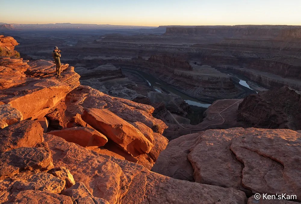
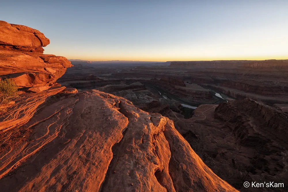
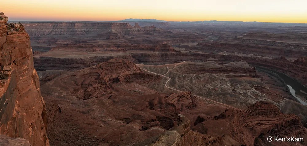
This concludes the photography series from Utah in March of 2026.
Thanks for following,
Ken
This is a continuation of sunset photography at Dead Horse Point SP, Utah.
This concludes the photography series from Utah in March of 2026.
Thanks for following,
Ken
After driving Potash Road and the Shafer Trail, we returned to Dead Horse Point for sunset photography. It was a heavily overcast evening, so prospects for a golden sunset hour did not look promising.
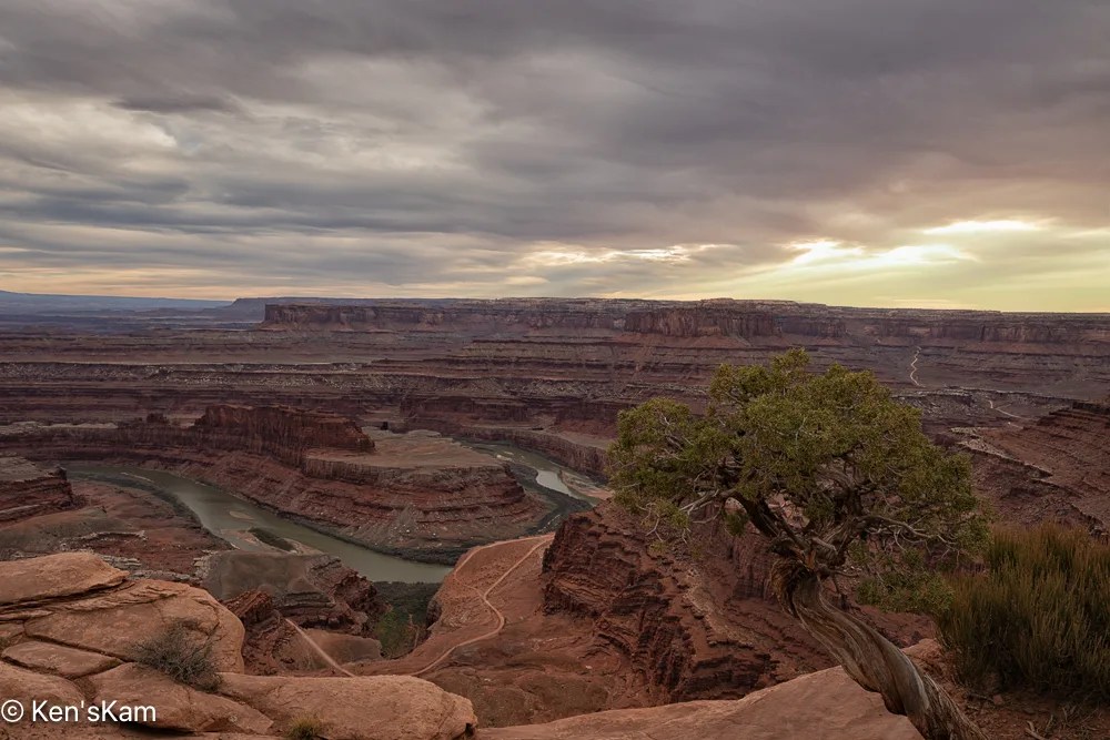
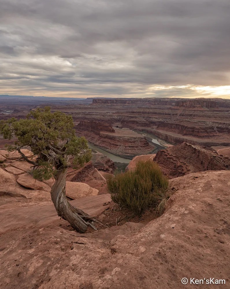
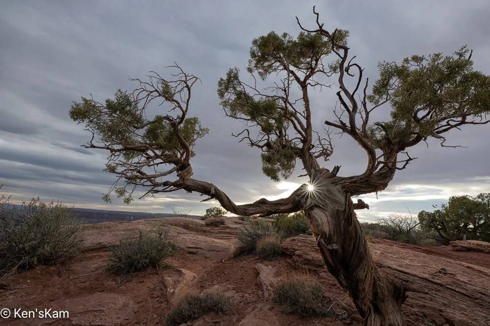
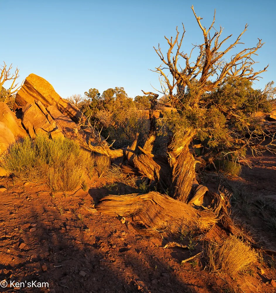
This tree creature seems to be relishing the sunshine on its shoulder.
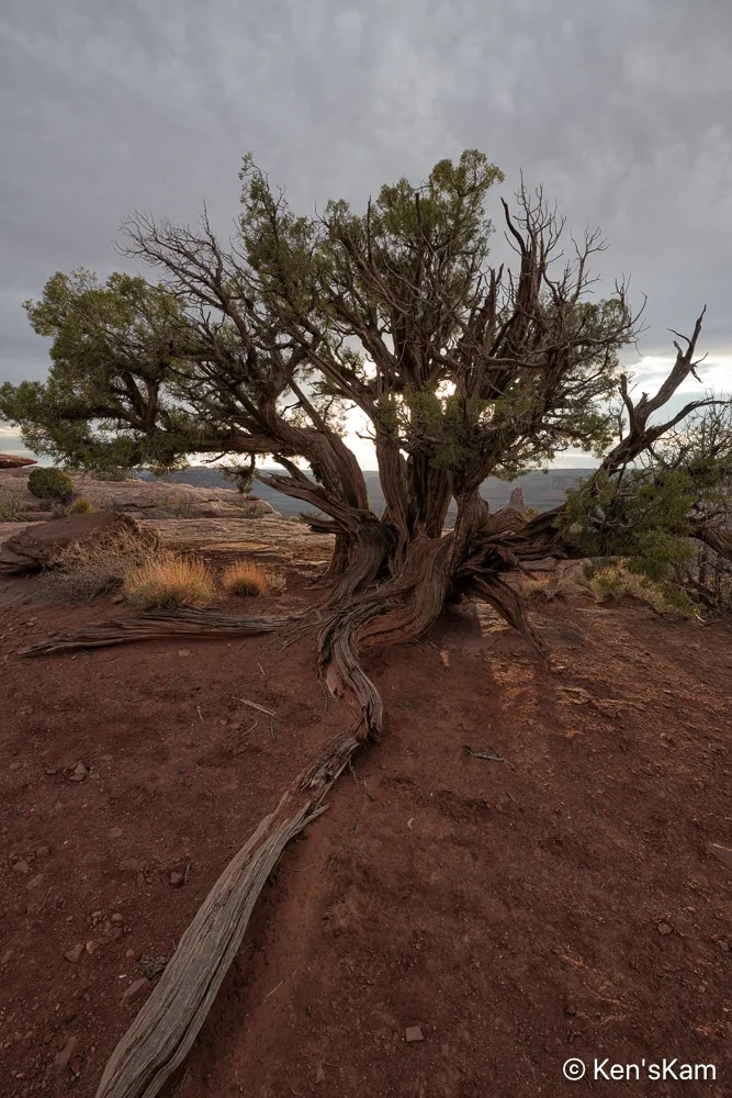
Twisting through the desert dust, a strong anchor holding its life form firmly to the earth.
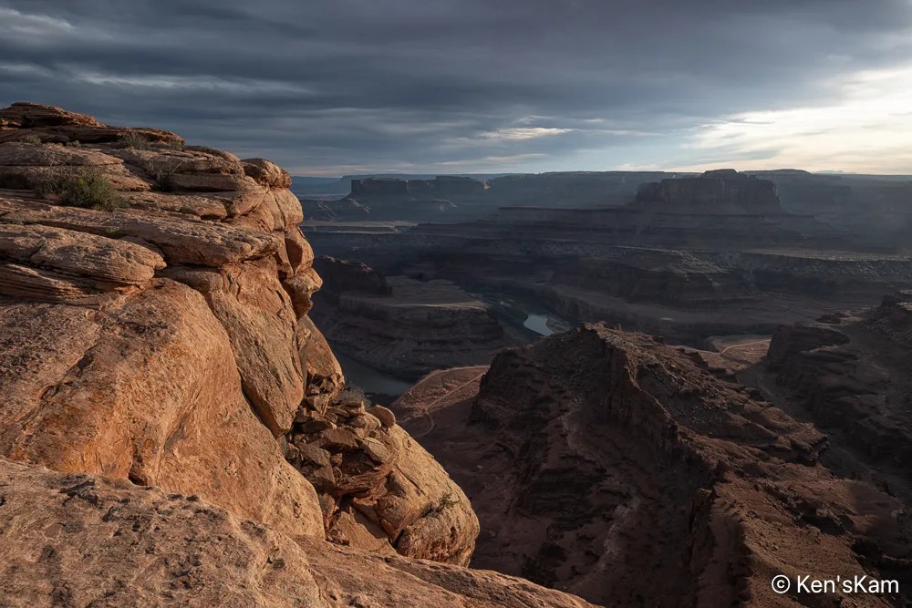
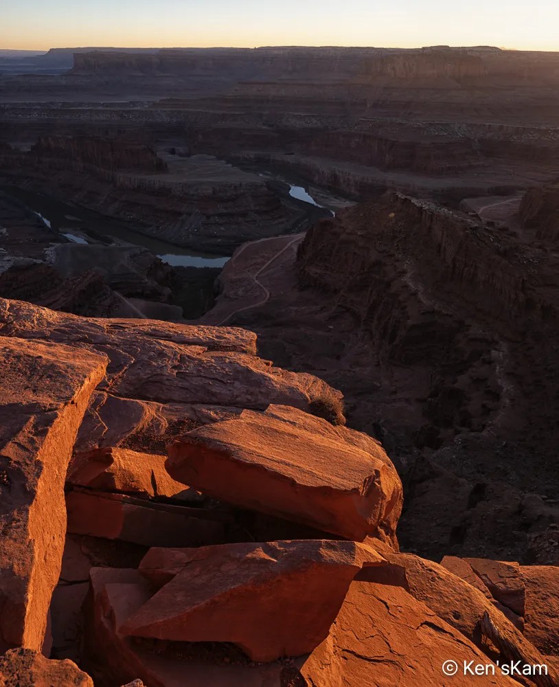
A portion of a nearby coppery cliff edge glows in late day sunlight, thick desert clouds envelope the landscape below in deep shadow.
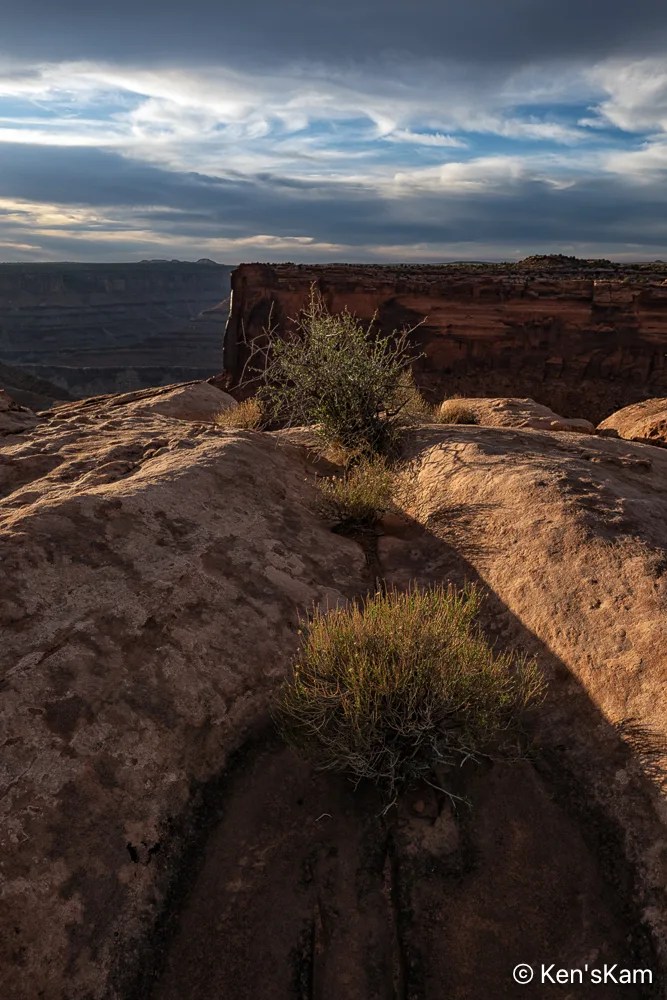
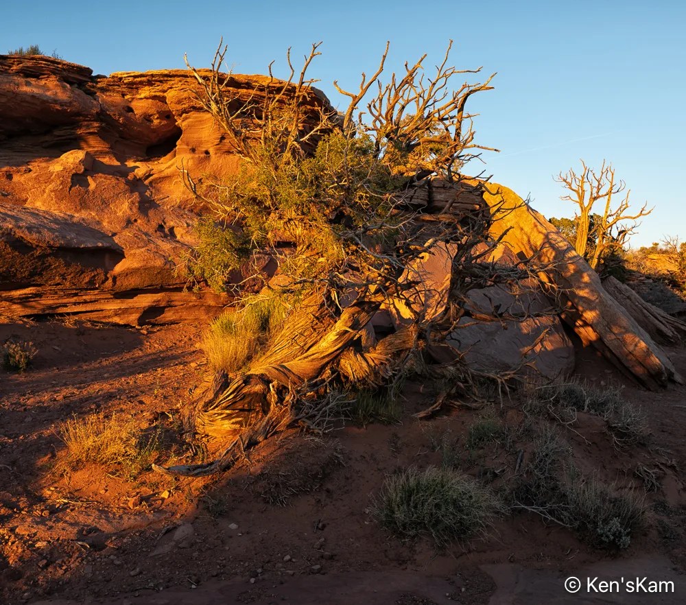
Desert plants sink their roots into the thin soil and hard rock, where scant moisture hides from the harsh sun. The V shape of the niche in the rock is reminiscent of similar shapes seen in Georgia O’Keefe’s artwork.
Thanks for following,
Ken
I’ve fallen behind in my normal blog post schedule, being preoccupied with other summer time activities. I’ll try to get back to a more regular schedule.

I used this geological feature as a foreground for star photography. As usual, I’m slow at processing those night images, so the star photos will have to be in a later post.


Most of the golden hour light was gone by the time I made ‘Early Morning Light’, but I really like the light and shadows on the undulating foreground.
After shooting sunrise from our campsite, we explored more of the local area, driving a number of side roads into the desert.

These rock shapes remind me of crowns that might be worn by kings and queens.


‘Sand, Plants, and Hills’ is a paraphrase from the Eagles’ song ‘A Horse with No Name’.

As evening approached, we set up for more night sky photography.
Thanks for following,
Ken
We retrieved our cameras, after leaving them out at night, programmed to shoot the night sky, in the early morning and proceeded to shoot sunrise photos at Utah’s Little Grand Canyon.

It was a cloudless morning, so the sky was bland and the sunrise was not at a good angle to illuminate much of the geological features in and around the canyon. This limited the possible compositions. Perhaps another time of the year might work better for sunrise at this location.


After a brief and limited golden hour sunrise shoot along the canyon, we drove back to The Wedge and shot a few images there. The smoke from a distant wildfire lingers in the canyon, giving this image a “misty/foggy” appearance.


It was the long, curvy root of this tiny tree on the edge of the canyon that motivated me to compose this image.


These two Smoky Morning images were shot from the same spot, I just zoomed in a little more and shifted the camera more to my right, eliminating most of the glare from the sun, emphasizing the big round rock in the middle, creating leading line features with the sunlit rocks on the bottom right diagonal and keeping the smoky effect in the canyon.
This concludes my photography (except for the yet to be edited night time photographs) at Utah’s Little Grand Canyon. Now it is time to move on and find another location.
So stay tuned to see what we found,
Ken
In reviewing a map of the area near our base camp, we discovered a place referred to as Utah’s “Little Grand Canyon”, along the San Rafael River. So we set out to check out that site. Along the way we found other interesting places and sites. This post and following ones will showcase our finds.
The drive to the “Little Grand Canyon” was along maintained gravel backroads, although most of the roadways were washboarded, rocky and rough, but scenic for long stretches with exposed geological features.
There are a couple of easily accessible Native American artwork panels on rock faces along this drive. One requires walking up a slight incline to reach, but the most impressive one, Buckhorn Wash Petroglyph Panel, has a large parking lot and is literally right at the edge of the parking lot.

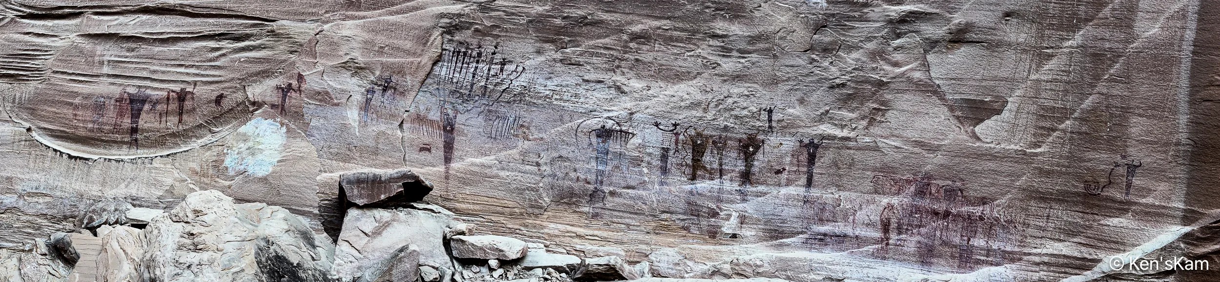
The Buckhorn Wash Petroglyph panel is long. Much longer than this panorama might indicate. I made this panorama with my iPhone by walking fast from one end of the panel to the other, trying not to trip and fall on the rocky, uneven surface. I was inspired to do this, after watching my son do it. Otherwise, I might never have thought to do a pano in this manner.
The following images are shots of small portions of the panel, showing details of some of the pictographs.


There are a number of signs placed in front of this panel with information and questions about what these images mean and how newer cultures came along and modified the older pictographs. And, yes, even modern day vandalism. In fact much damage to this panel was partially repaired in 1995.

Please refrain from defacing such ancient records. These are already fading away due to natural weathering. Don’t accelerate the loss.
Ken
It is spring (or almost) and time for another spring trip with my oldest son. Traveling in the U.S. for outdoor activities in the spring, one always has to consider the weather at potential destinations.
The initial plan this year was to fly into Portland, Oregon, drive to Cannon Beach for photography along the Oregon coastline, knowing that the typical rainy weather along the coast might result in last minute changes, and it did. The forecast for the time interval available for this trip was for cool, rainy, overcast weather every day, which can offer some opportunities for photography, but might not be so pleasant every day. So cancel plan A. Move to Plan B.
Plan B was to go to the same area as last year, where there were still some possibilities to see and photograph in some locales not visited during previous trips. Then a few days before executing Plan B, Plan C came up. Plan C was to explore an area of Utah seen superficially and partially, when passing through on the way to other destinations. Plan C was executed.
I drove two long days to reach the first destination, a first come first serve, free camping area on BLM (Bureau of Land Management) public land not far off of I70 west of Green River, Utah. This area is said to be popular with off roaders and I wanted to be sure to get here to find a campsite before the weekend crowd arrived. As it turned out, while there were a few scattered campers, including those hauling their offroad vehicles, there was no large crowd and I easily found a suitable campsite, somewhat secluded from others.


I shot the sunset panorama standing on the roof rack of my vehicle. If one looks closely, the tops of a few other campers can be seen in this image.
My son met me here to begin our exploration, making this our initial home base. Before he arrived, I had some time to walk around this area, shooting desert scenes with my iPhone. So stay tuned for part 2 to see some of those images.
Thanks for following,
Ken
This is a continuation of hiking and photography in Wire Pass and Buckskin Gulch slot canyons in Southern Utah in March 2025.
Upon exiting Wire Pass Slot Canyon, we turned right, proceeding into Buckskin Gulch.

The numerous rocks strewn over the canyon floor in Buckskin Gulch give evidence of the violence of currents that periodically rage through this canyon.

The sky and canyon walls are reflected in this muddy puddle, including the upper portion of the wall with the glow of midmorning light. We were able to pass this puddle by using the rocks on the left as stepping stones, then making a big step to the right onto a large boulder at the far end of the puddle.

More pebbles and boulder in the pathway. This seems typical of Buckskin Gulch. Evidently, more water flows through this canyon than through Wire Pass.

The next puddle we came to was deeper and had no convenient stepping stones in it to facilitate passing without wading in the very cold water. This was an obvious turn around point for us, as we were not prepared to wade through the cold water. A small tour group turned around here, too; but one intrepid old fellow stripped down to his underwear and waded through. He moaned and groaned all the way through, then again as he apparently had to repeat the process at another puddle that we could not see around the bend here.

I made a number of images at this turn around puddle to capture the details in the canyon wall, the red, golden glow ahead and the reflections in the puddle.

It was a bit more awkward making that first step back across this first puddle, because of the location of the first boulder on the far side. I had to think about how to approach that first step, since a poor choice of step would put me into the cold water and maybe an unplanned cold bath. Once back on this side, I turned to get a parting shot with more of the canyon walls in this one. The dynamic range of light in these canyons creates a challenge getting a good exposure, so I bracketed several shots with different exposure settings, then combined those images into this one High Dynamic Range processed image.

After our shortened hike into Buckskin Gulch to the south of the Wire Pass exit, we hiked into the northern portion, which tends to be wider than the part to the south.

We soon came to another big, muddy puddle, at which we elected to turn around. Footprints in the mud attest to others wading on through the cold water. There was not as much water in this canyon the first time we visited here years ago and we were able to easily hike further into each of these portions back then.
After turning around here, we went back through Wire Pass, returning to the parking lot and then back to our campsite to plan the rest of the day.
Until next time,
Ken
We returned to the southern portion of Capitol Reef National Park to photograph Strike Valley in the late afternoon with the intention of photographing from somewhere along the switchbacks (numerous sharp turns on the roadway as it climbs steeply from the valley). There were no safe and suitable places to park along the switchbacks, so we settled for shooting from an area above the switchbacks.


In viewing some of these photographs now, I’m thinking some could benefit from cropping portions of the sky, but when I edited these, I was wanting to show the big open sky. Maybe that was a mistake, but I’m not going to change these now.
More later,
Ken

After photographing the exterior of this old, abandoned church at the outskirts of a small New Mexico town, I ventured through the open doorway (there was no door) to check out the interior.

I had noted much graffiti just looking through the doorway and windows. Judging by the dates and graffiti messages, it looks like this place is popular with teenagers, presumably local ones, since this is a long way from any other towns or cities.

Shooting handheld in the dim light inside the church required high ISO to get sufficiently high shutter speeds to avoid fuzzy images. Shooting through windows from inside resulted in blowing out the exterior portions of the images.

I’ve brought out some of the exterior details in the editing process in the image above just to avoid having a white blur in the windows. The exterior details through the windows are very low quality as a result. If I had not been shooting handheld, I could have acquired images to create HDR images.


The floor boards were still sound, so maybe the missing boards are a result of someone looking for hidden treasure.

The ceiling bead board had a nice patina and mostly appeared to be in good condition. The covers to the ceiling light fixtures were all missing, presumably broken or maybe stolen. There were remnants of broken light bulbs in the fixtures.


There were no window panes so a breeze through the windows made the hanging light fixtures sway. I had to increase the ISO even more to freeze the motion of these.


Obviously some electrical item had been removed from the central portion of the ceiling. I’m guessing a ceiling fan had been here and has been stolen, if not removed legally, since those early day fans might be valuable antiques.
This wraps up my photography here.
Until next time,
Ken

As I traveled towards my second overnight destination in route to the Grand Canyon North Rim in July 2021, I spotted an abandoned church about a block north of the highway at the edge of a small New Mexico town. I had to stop to check out this old church.
The roadway from the highway to the church was gravel, but in good condition. There were other homes or building visible from the church site, but none were very close to the church, making it stand out from its surroundings.
I walked around the exterior photographing the church from various angles and capturing some of the exterior details, before I ventured through the front doorway.


This post is dedicated to the exterior views. It was afternoon and the lighting was not great for capturing this weathered old church, but I knew I might not pass by again for a long time, if ever, so I had to make the best of the photographic conditions.


I will post photographs from the interior next.
Until then,
Ken