
This is a continuation of sunset photography at Dead Horse Point SP, Utah.
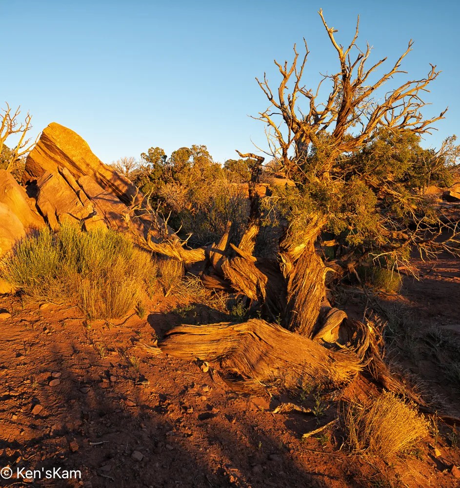
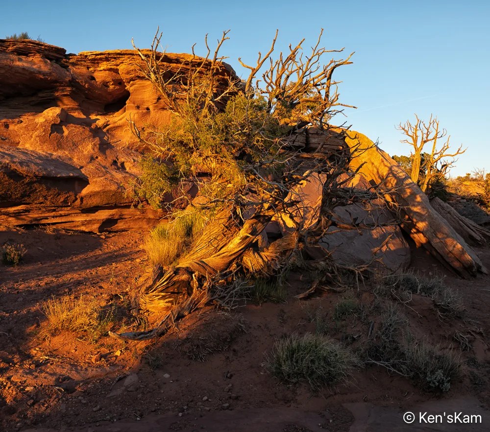
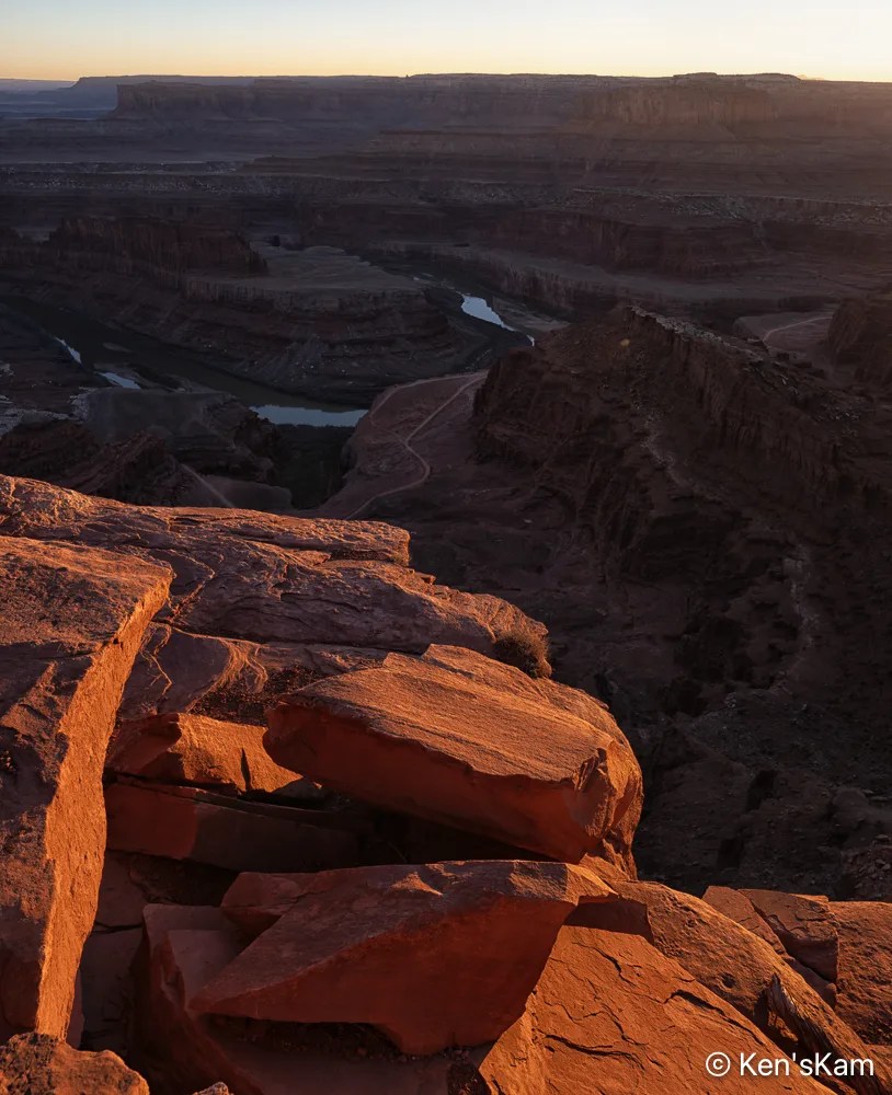
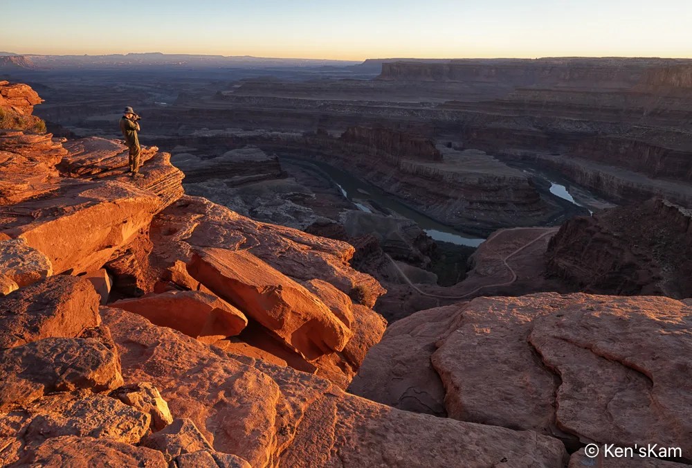
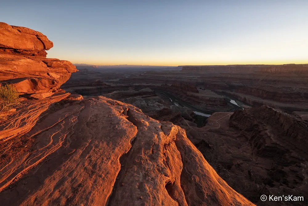
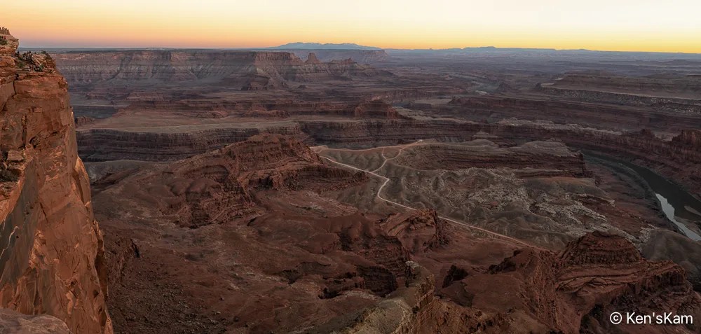
This concludes the photography series from Utah in March of 2026.
Thanks for following,
Ken
This is a continuation of sunset photography at Dead Horse Point SP, Utah.
This concludes the photography series from Utah in March of 2026.
Thanks for following,
Ken
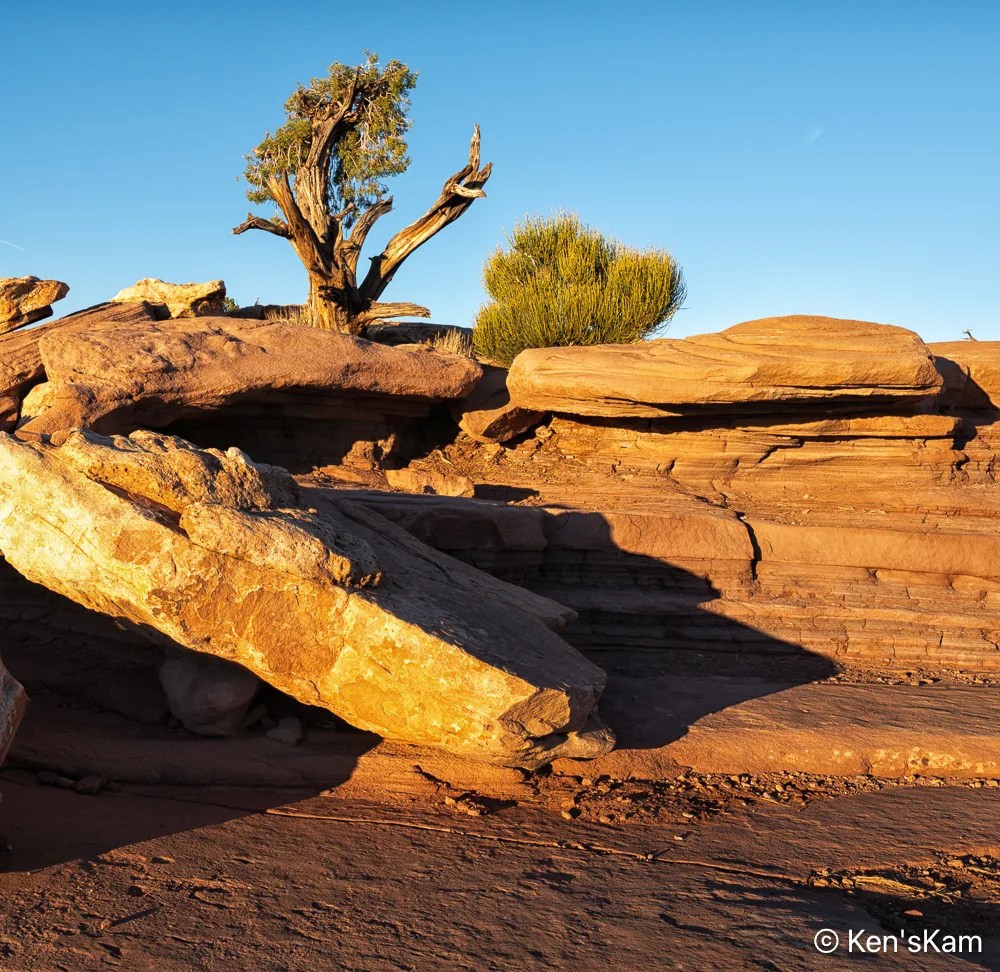
This is a continuation of sunset photography at Dead Horse Point, Utah.
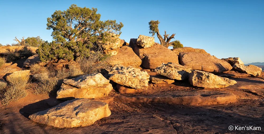
There is more to shoot at Dead Horse Point than the grand scenic.
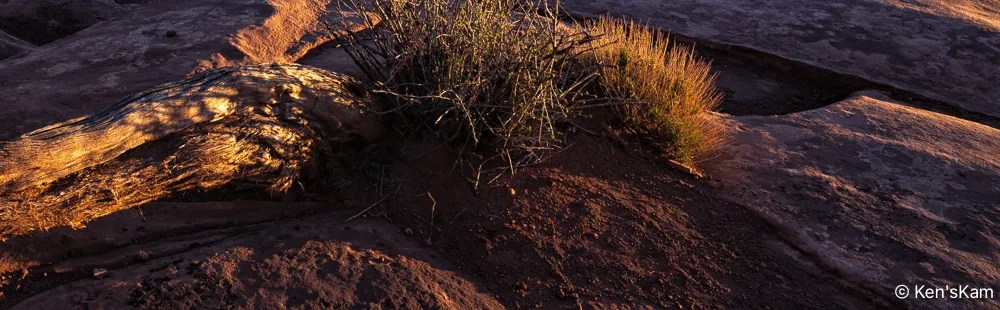
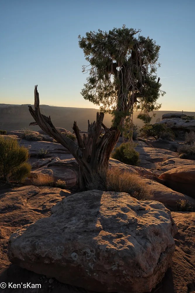
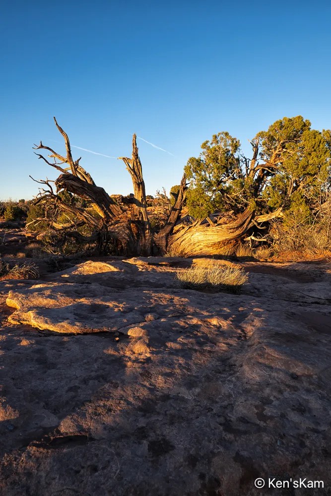
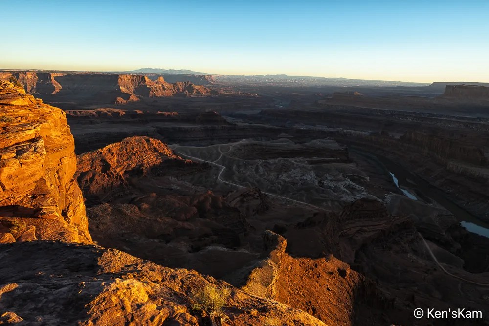
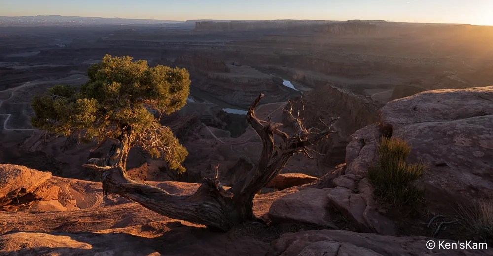
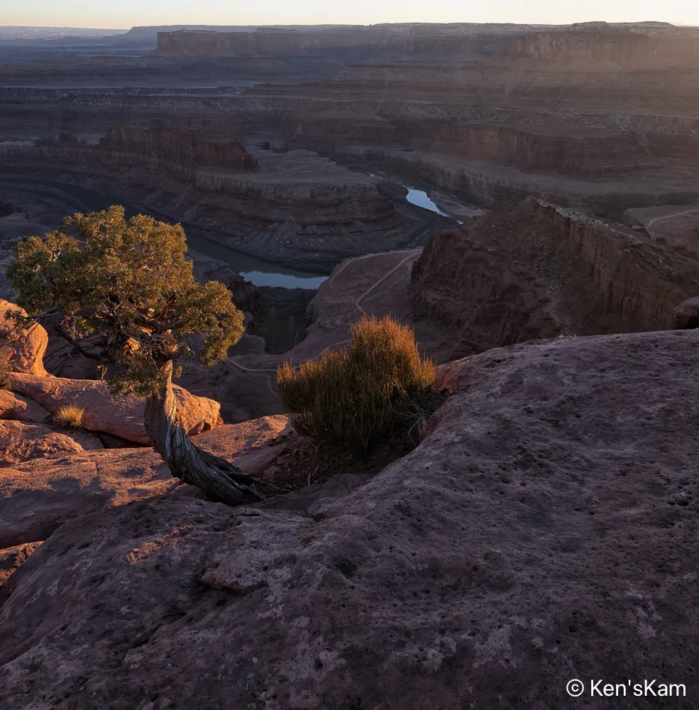
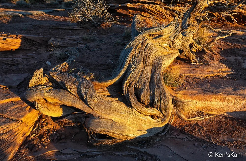
To be continued,
Ken
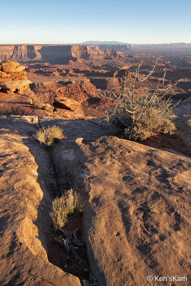
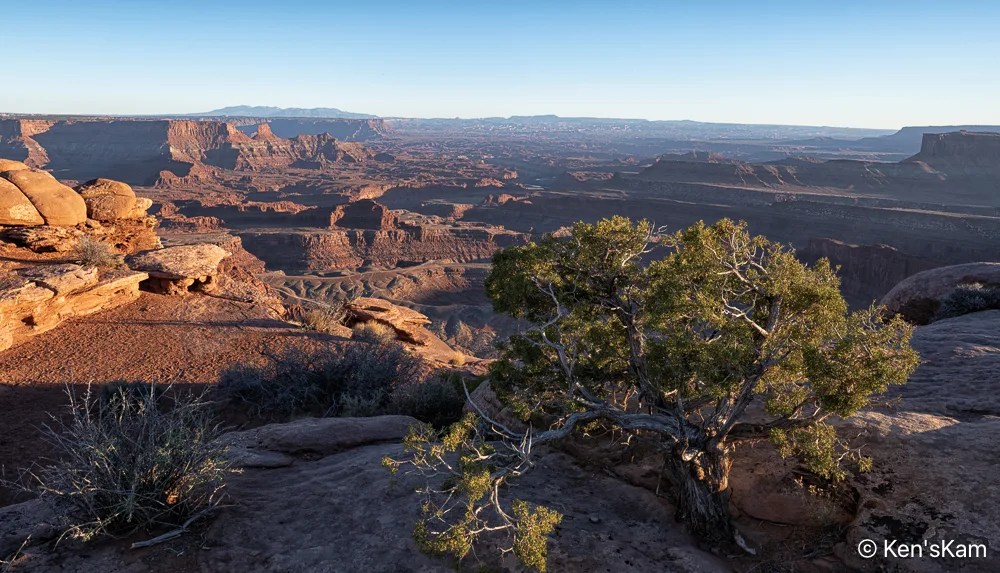
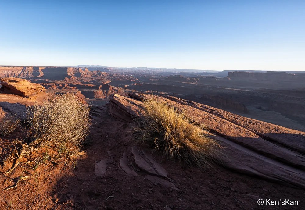
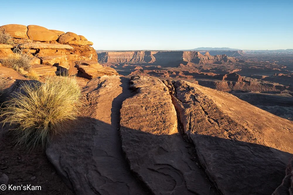
In an earlier post I revealed that I had gotten my posts out of chronological order. Now I’m stepping back a day to the evening prior to the overcast sky shoot at sunset at Dead Horse Point, Utah. The evening prior was much different.
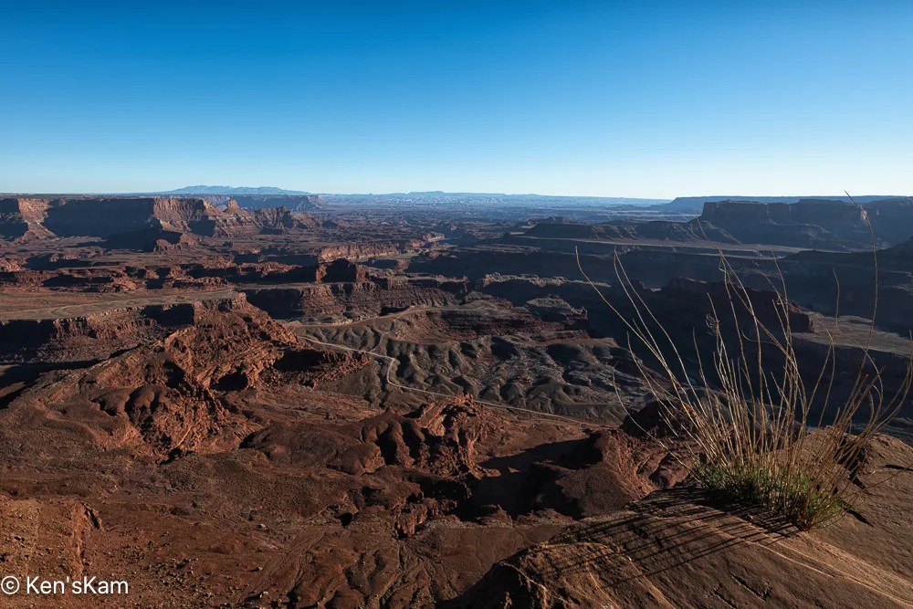
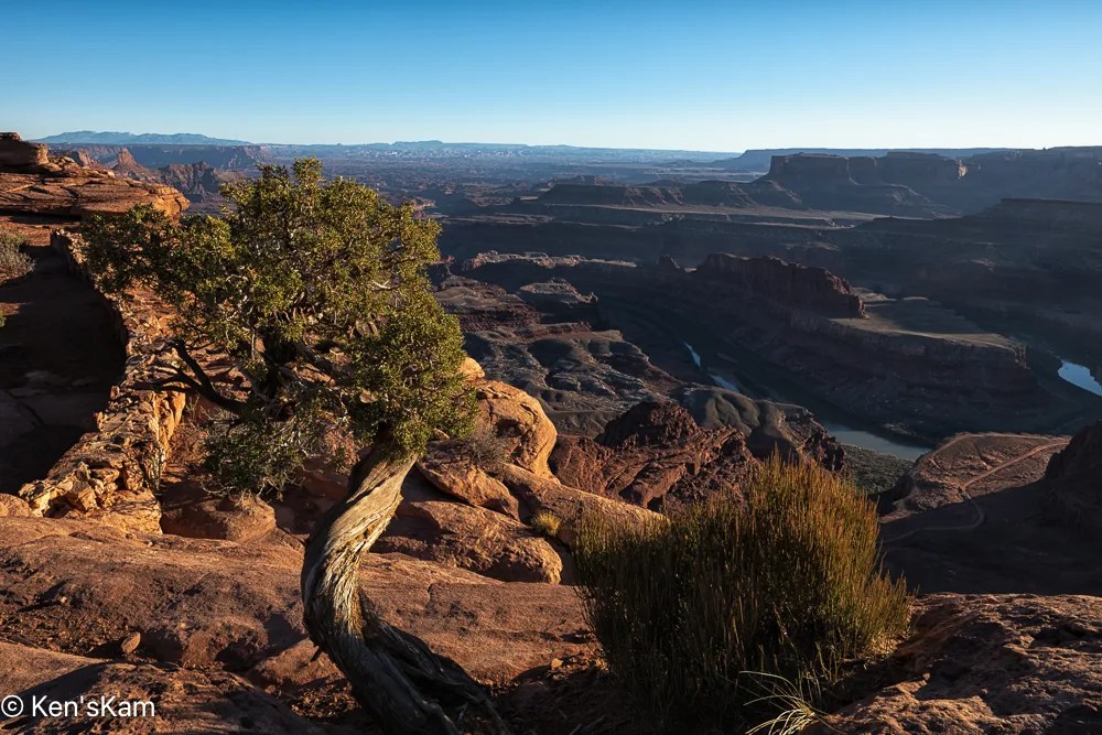
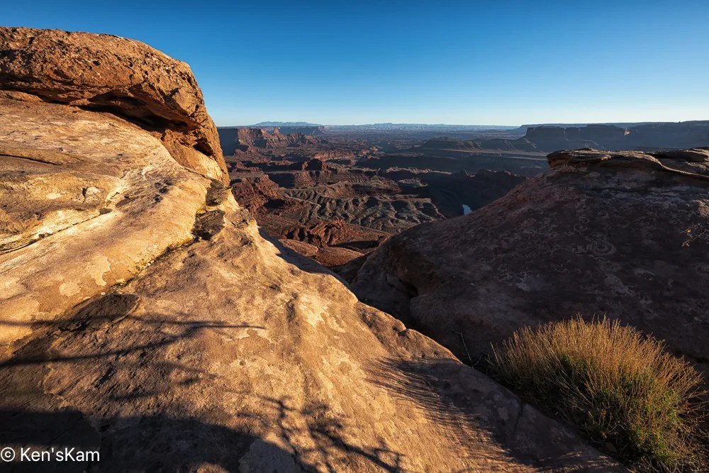
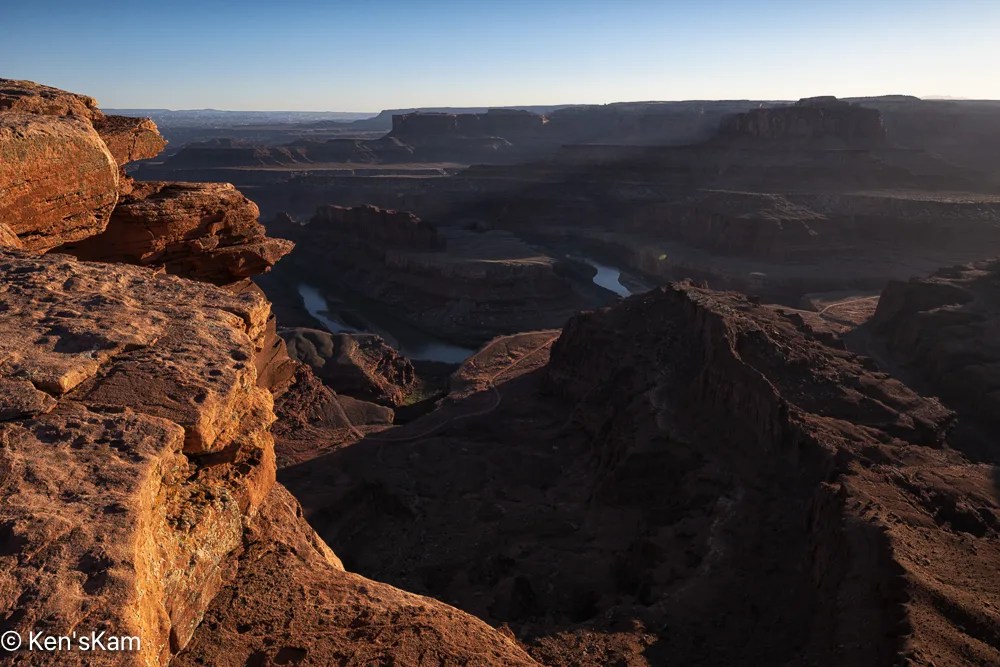
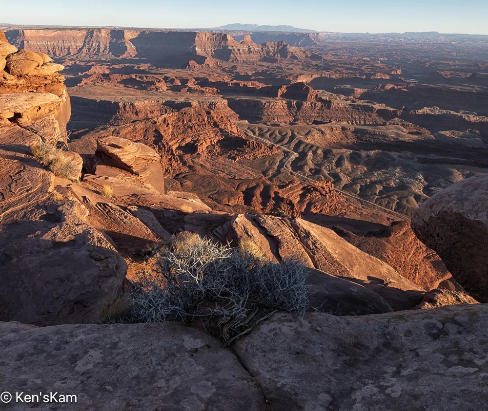
To be continued,
Ken
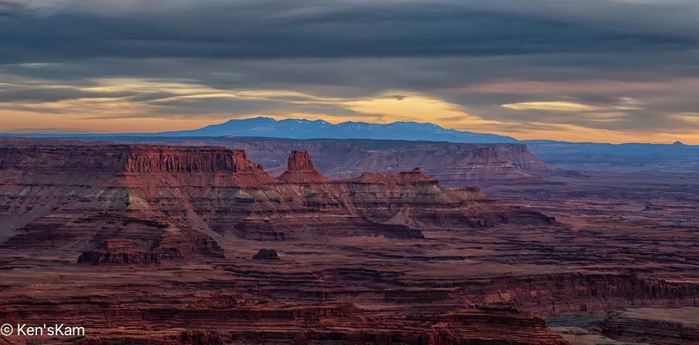
This is a continuation of photography at Dead Horse Point, Utah on an overcast evening in March, 2026.
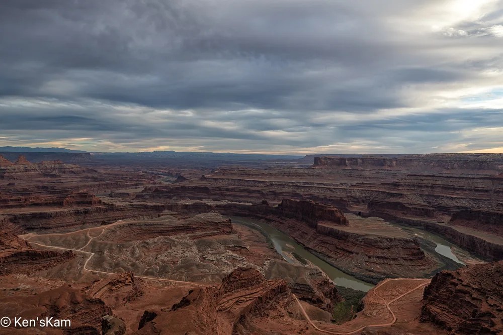
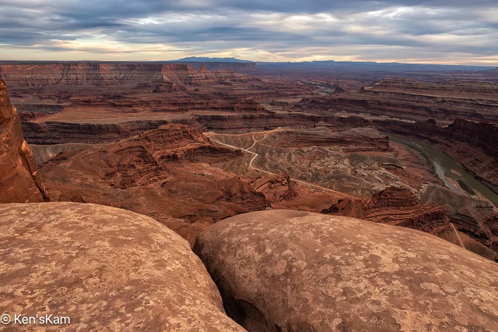
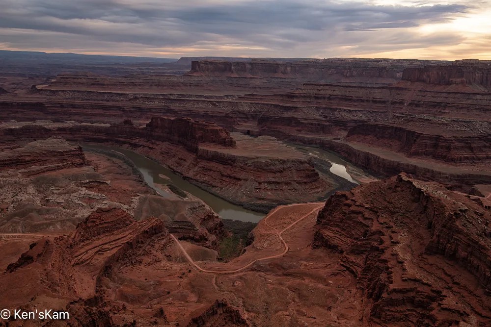
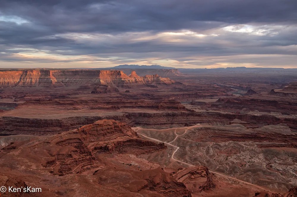
Ah, at last a little muted sunset light on those distant cliffs.
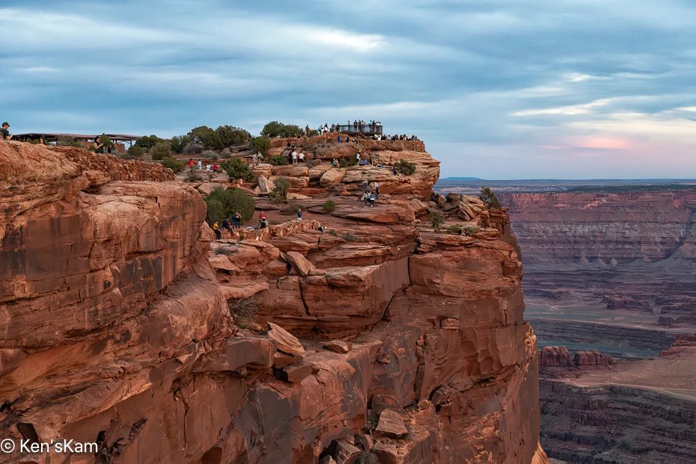
This final image shows that we were not alone at this popular view point.
Thanks for following,
Ken
After driving Potash Road and the Shafer Trail, we returned to Dead Horse Point for sunset photography. It was a heavily overcast evening, so prospects for a golden sunset hour did not look promising.
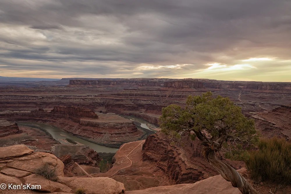
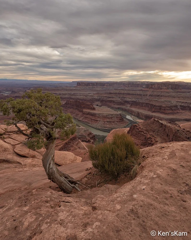
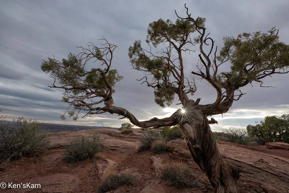
This tree creature seems to be relishing the sunshine on its shoulder.
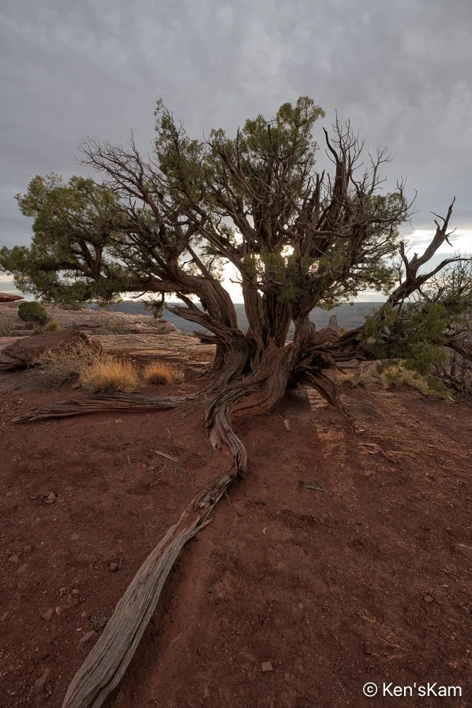
Twisting through the desert dust, a strong anchor holding its life form firmly to the earth.
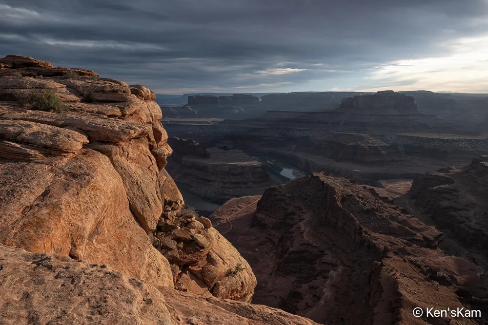
A portion of a nearby coppery cliff edge glows in late day sunlight, thick desert clouds envelope the landscape below in deep shadow.
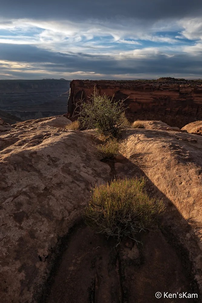
Desert plants sink their roots into the thin soil and hard rock, where scant moisture hides from the harsh sun. The V shape of the niche in the rock is reminiscent of similar shapes seen in Georgia O’Keefe’s artwork.
Thanks for following,
Ken
Followers probably noted the winding road through the landscape as seen from Dead Horse Point in previously posted images. After shooting sunrise at Dead Horse Point, we traveled that road. This post contains a few of the photographys made along that road.

I think this road might be refered to by different names and I’ve mostly heard folks talk about this route as Shafer Trail, but my map shows this portion as Potash Road, to the best that I can decipher the map labels

This pond is a part of a potash production facility. Potash (potasium chloride) is disolved from underground rock with water pumped from the Colorado River and put into evaporation ponds. Blue dye is added to the water to increase solar energy absorption that heats the water speeding up the evaporation process. These ponds can be seen from the Dead Horse Point overlook and are in some of my photos made at that overlook.


I always stand in awe of the natural power of water, wind, weather and time to carve such amazing landscapes.

The road we traveled changes its name to Shafer Trail somewhere along the route, I think at the point where it enters Canyonland National Park. This photo was made at an overlook near where Shafer Trail exits onto a paved road near Canyonlands NP Visitors Center.

Late in the day, we returned to Dead Horse Point for sunset photography. Stay tuned for more,
Ken
I try to keep my blogs in chronological order and use images in my blogs with links to my photos posted to Flickr, but sometimes I slip up. A few days ago, I realized that somehow I had skipped editing sunset photos made the first day we were at Dead Horse Point, Utah and I had begun to post photos to Flickr from the second evening at Dead Horse Point. So I’m going to violate my chronological order for at least portions of these two days of shooting, posting images from day 2 ahead of day 1.
We went out early on day 2 at Dead Horse Point for sunrise photography.
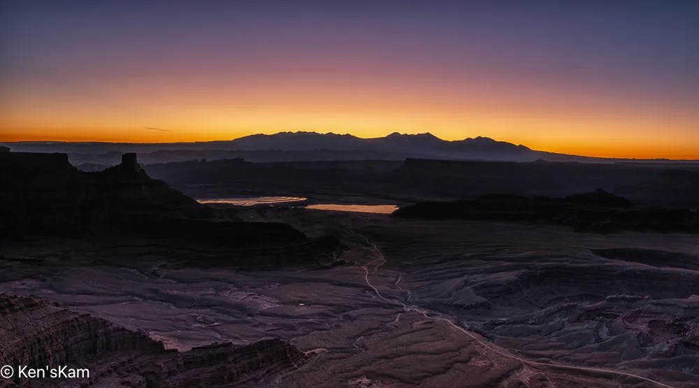

I set up my camera and watched the sunrise light as it moved across the wonderful and rugged landscape at Dead Horse Point, making a number of images for a sunrise sequence.
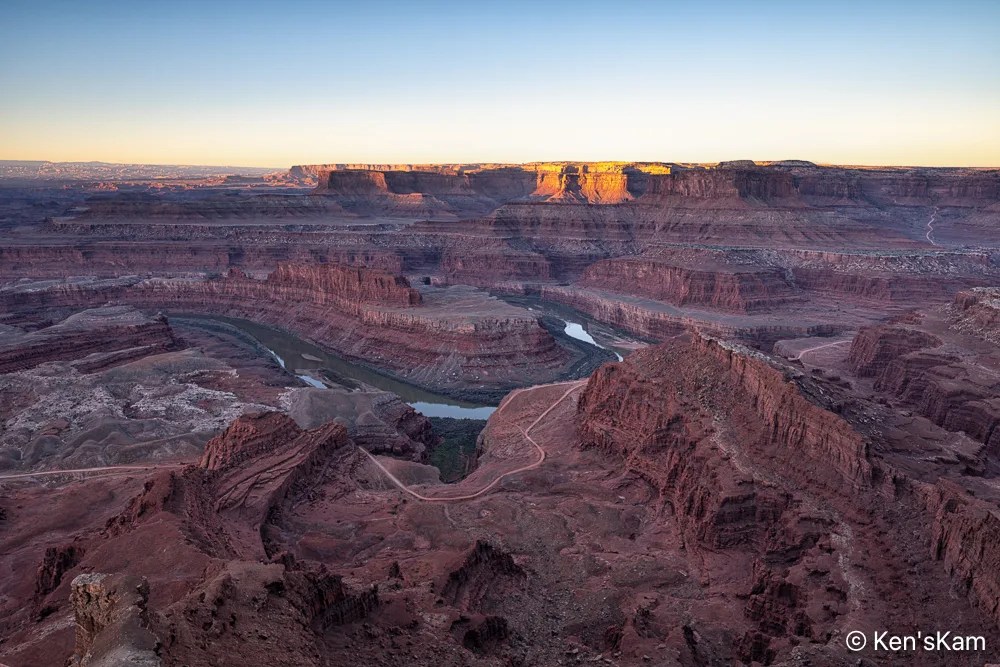
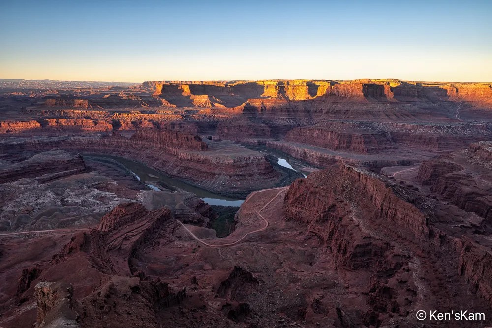
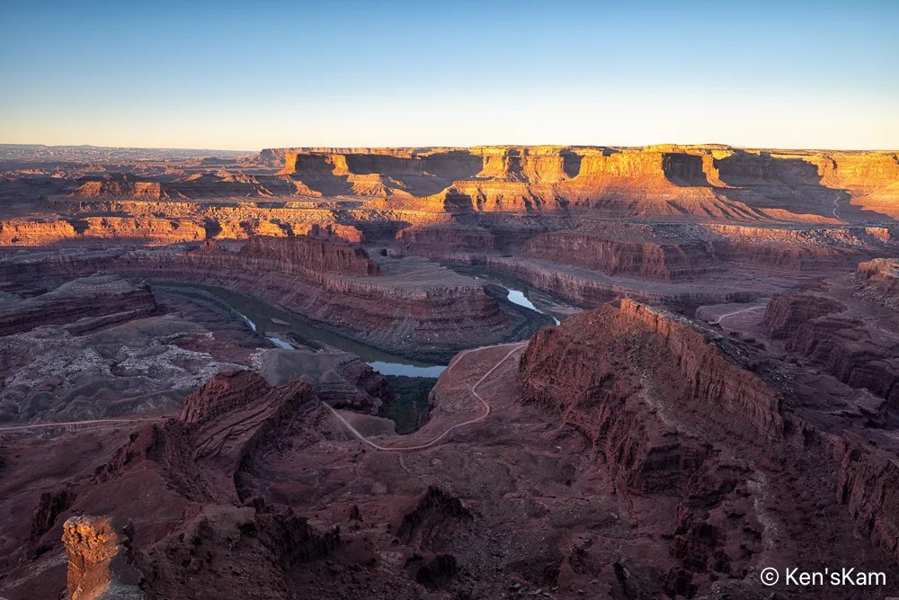
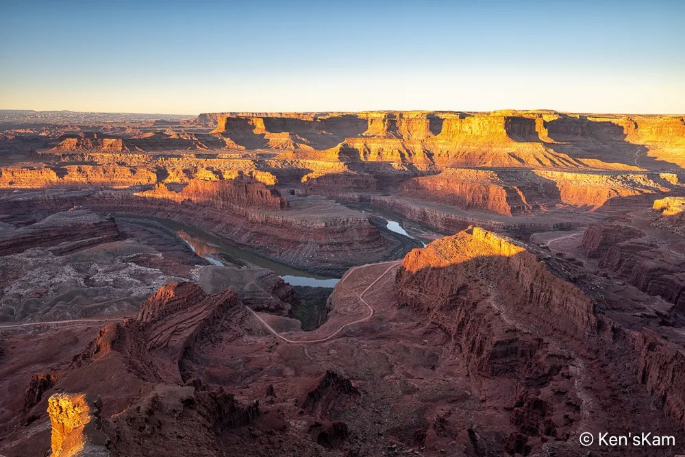

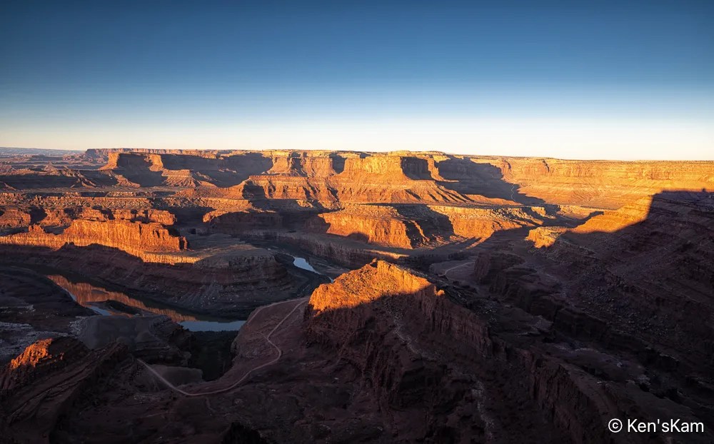
Note that I zoomed in a little for #8 to get a better view of the reflections in the Colorado River.
Thanks for following and stay tuned for more photos from this area of geological wonders.
Ken
A brief look at my camera screen in the early morning, showed that I at least got star photos during the night. I always have some concerns that the program worked as planned, after setting up the camera to shoot well after dark and then retiring to bed. Unfortunately, upon reviewing those images on a big screen it was obvious that the stars were big blurry bright spots. So apparently I either accidentally shifted the focus a little, during the final set up or maybe I forgot to switch off auto focus. I think it was most likely the first, since I vaguely recall having to shift the lens back into auto focus mode for early morning sunrise shots, after realizing the first shot was not in focus. I don’t completely trust my eyesight to get really good focus, when in manual mode.
But I still have two batches of star images to process, which I will have to get to soon.


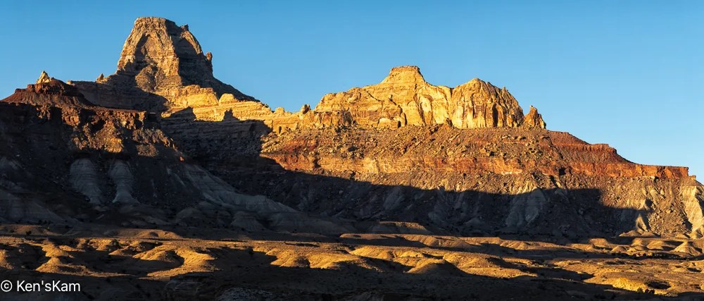
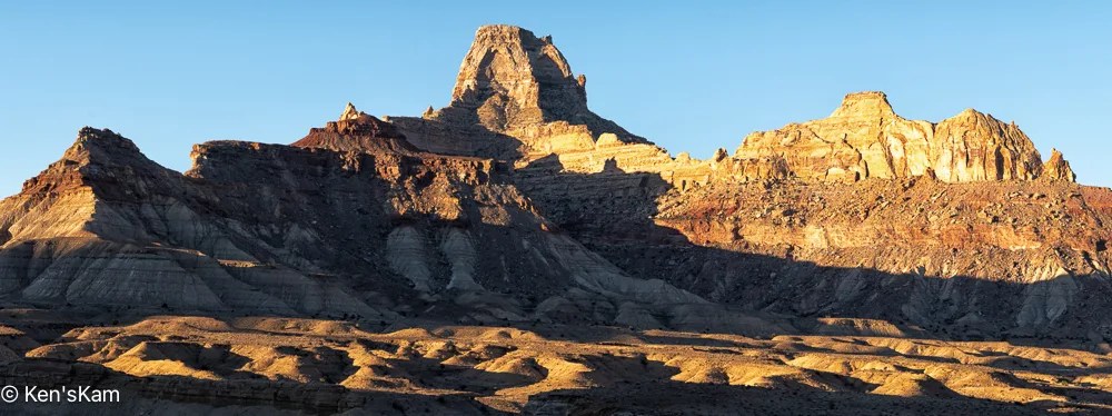
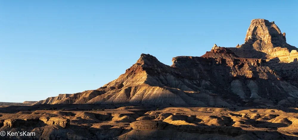

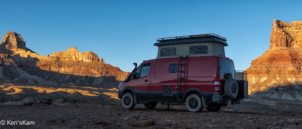
After shooting a few early morning images, we decided it was time to move on and headed towards the Moab area. Moab has become much more popular than it was during my first few visits here. Now it is very crowded all the time it seems and the rapid growth rate is highly evident. We considered several possibilities for finding a campsite in this high demand camping area, finally selecting a small public land camping area not very far from Dead Horse Point and we were lucky enough to have two or more empty sites from which to select.
After setting up camp, we did a bit of exploring in the local area, stopping by Dead Horse Point to scout it briefly.

This scene reminded me of hiking in Canyonlands NP many years ago.

After this brief visit to Dead Horse Point, we will return later for sunset photography.
Thanks for following,
Ken
I’ve fallen behind in my normal blog post schedule, being preoccupied with other summer time activities. I’ll try to get back to a more regular schedule.

I used this geological feature as a foreground for star photography. As usual, I’m slow at processing those night images, so the star photos will have to be in a later post.


Most of the golden hour light was gone by the time I made ‘Early Morning Light’, but I really like the light and shadows on the undulating foreground.
After shooting sunrise from our campsite, we explored more of the local area, driving a number of side roads into the desert.

These rock shapes remind me of crowns that might be worn by kings and queens.


‘Sand, Plants, and Hills’ is a paraphrase from the Eagles’ song ‘A Horse with No Name’.

As evening approached, we set up for more night sky photography.
Thanks for following,
Ken
There is an arch on a bluff just off of Buckhorn Draw Road, which we stopped to check out on our way back from Little Grand Canyon.

As we drove back along the route we had taken to get to Utah’s Little Grand Canyon, we stopped to check out a side road near a large campground, where we were considering staying; but as we explored the side road, we discovered more interesting scenery and plenty of open campsites at which to enjoy the scenery.

Look closely and my Sportsmobile can be spotted near the center of this image. If just glancing at the image, the Sportsmobile might be mistaken for a natural feature.

This zoomed in image shows the campsite location a bit better.

This pano, made from our campsite, is of geological features across the roadway.


We will shoot star photographs at this location. These images were taken not only to show the local scenery, but to select compositions for night sky foregrounds.
More local images and exploration images to follow,
Ken