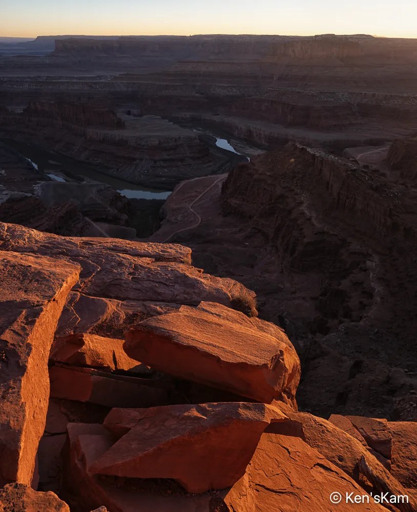
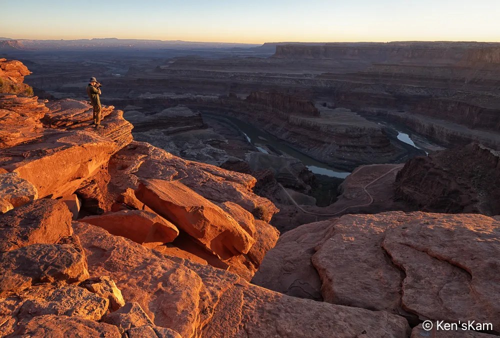
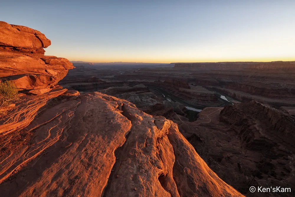
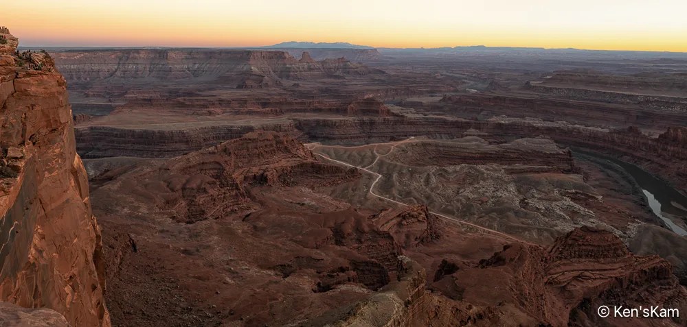
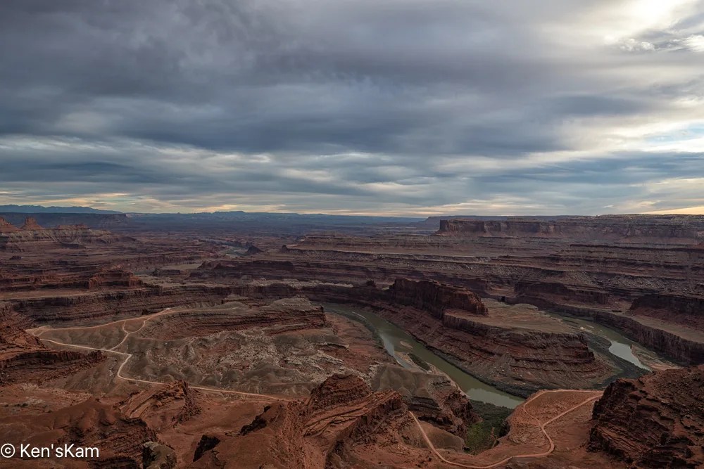
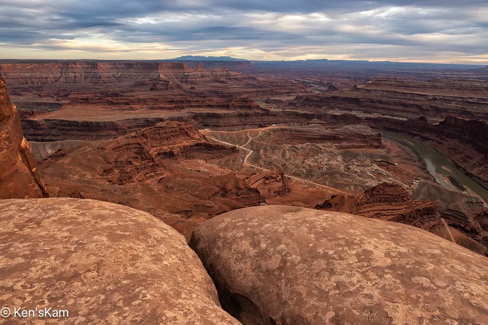
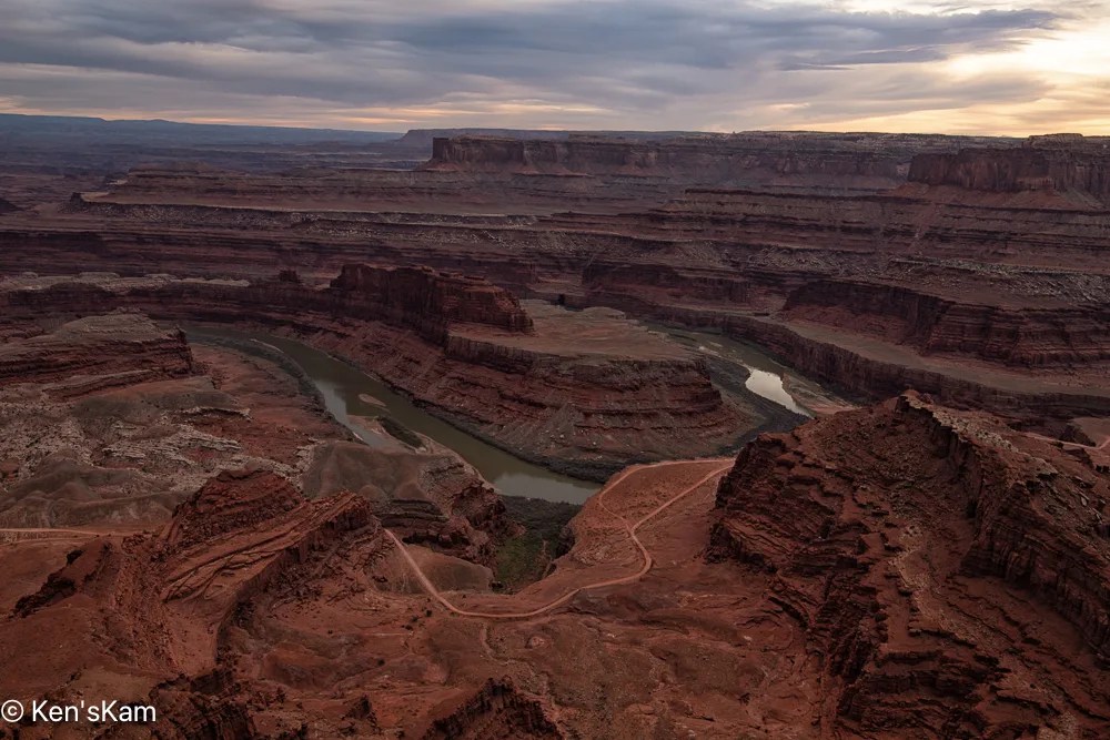
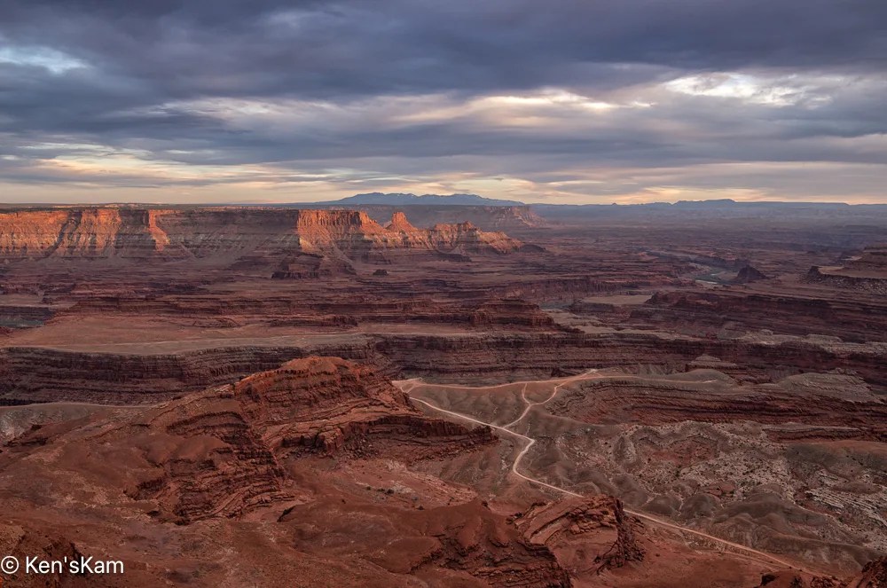
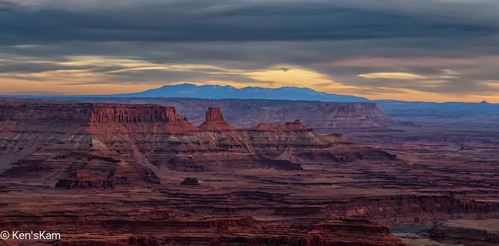
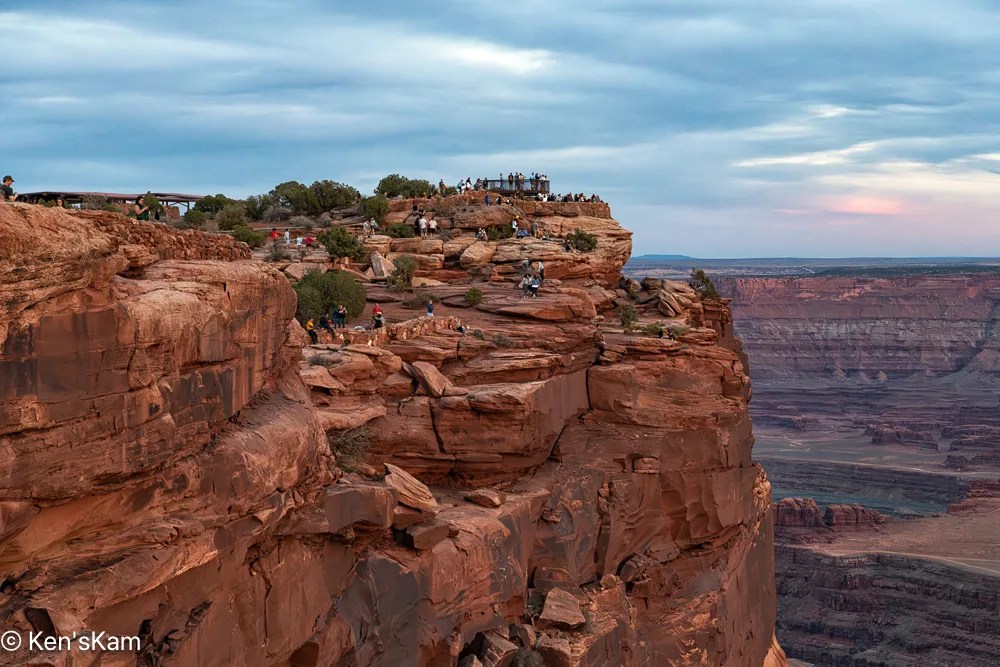
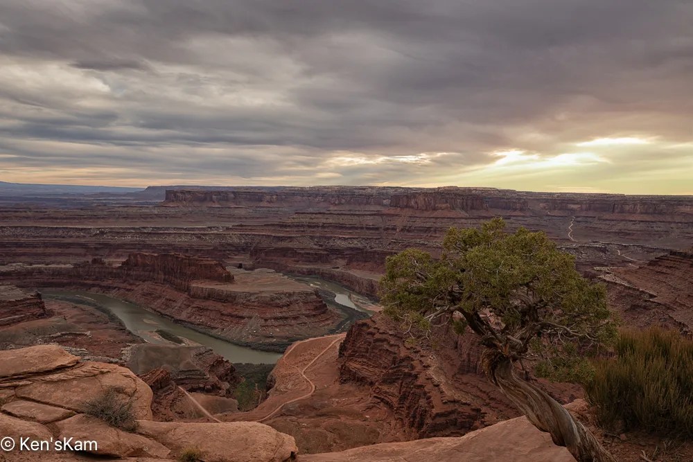
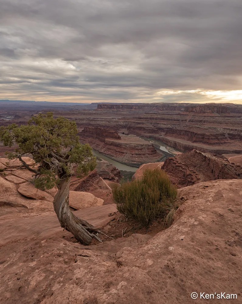
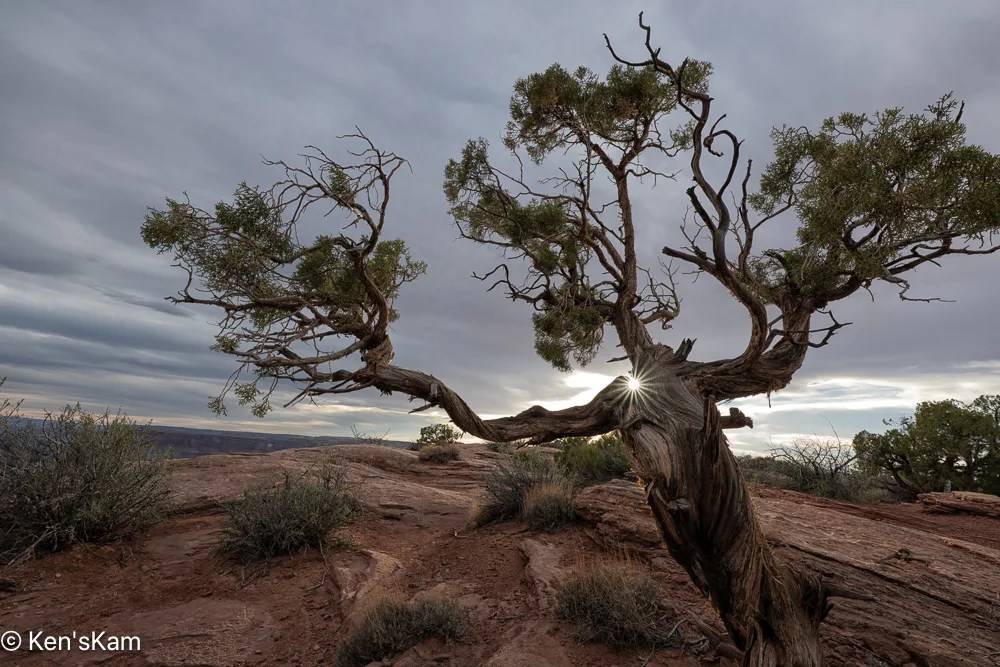
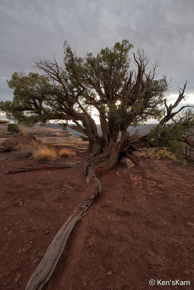
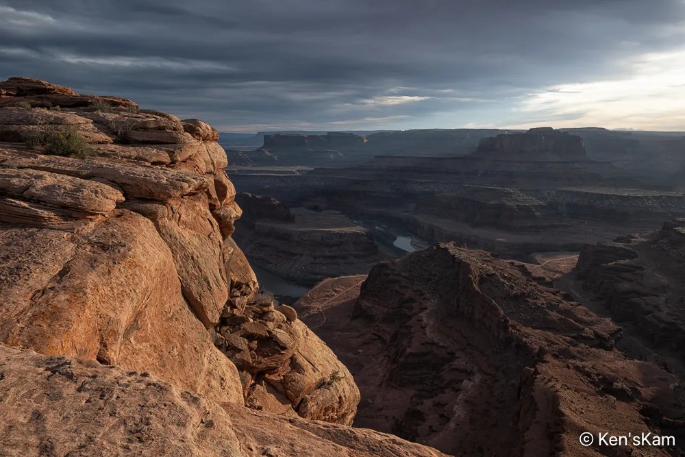
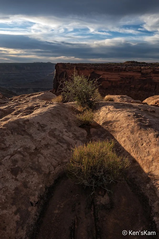
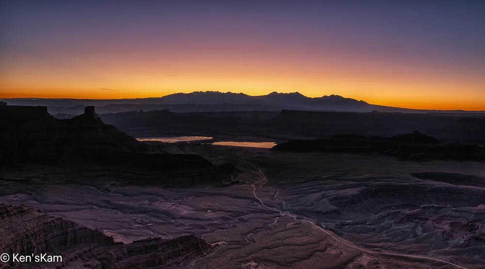
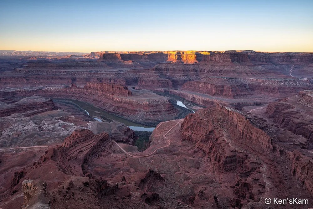
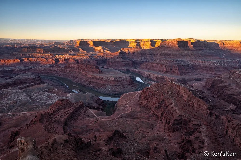
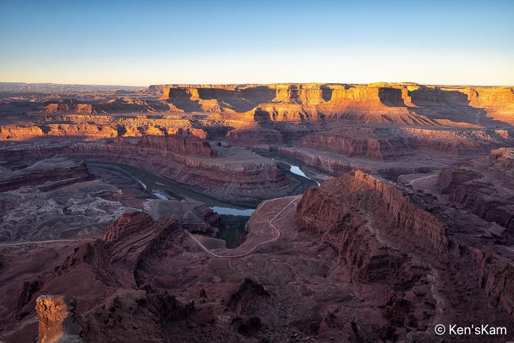
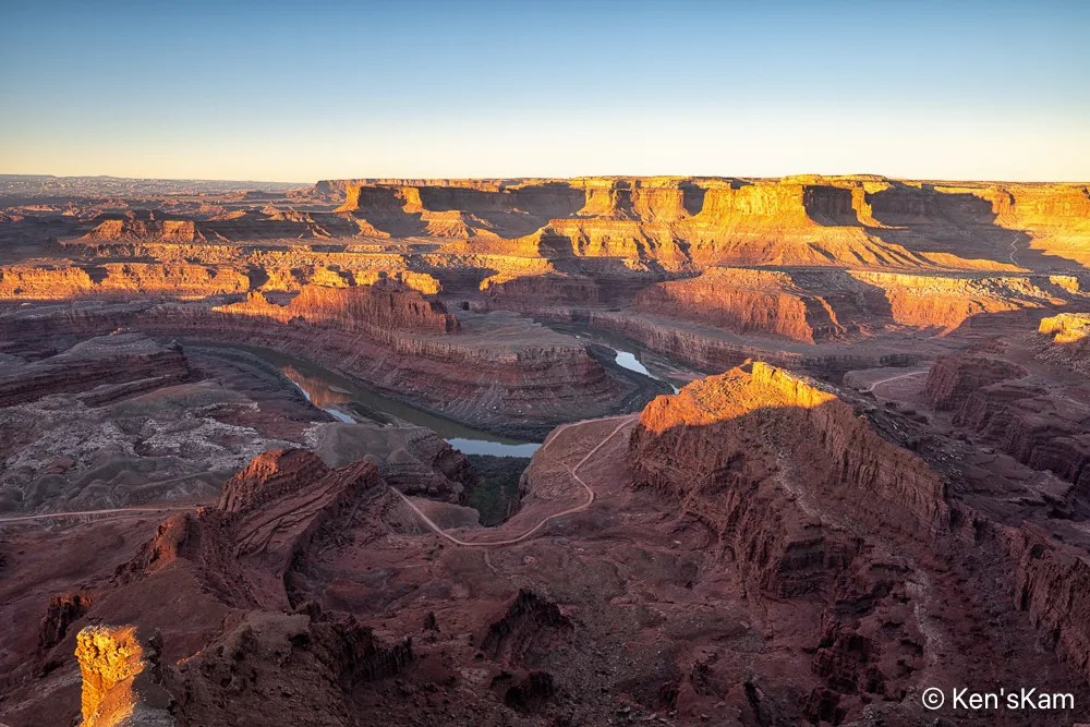
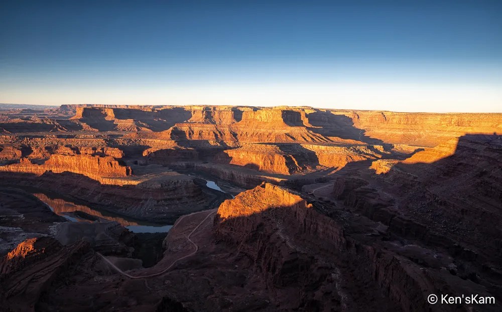
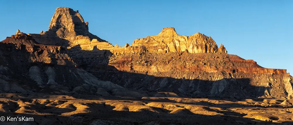
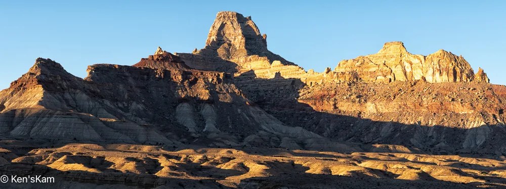
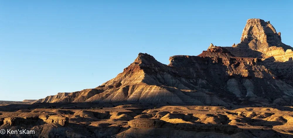
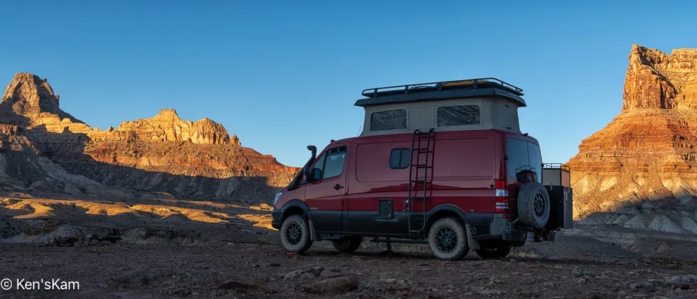
When shooting at golden hour, it is rewarding to look around and towards the western sky, as the setting sun often creates wonderful colors in clouds, which might go unnoticed if one focuses too much on the eastern sky.
After sunset, we set our cameras up to shoot the night sky. As usual, I’m slow in processing those many, many images. So I’ll have to postpone the night sky blog and move onto sunrise images in the next post.
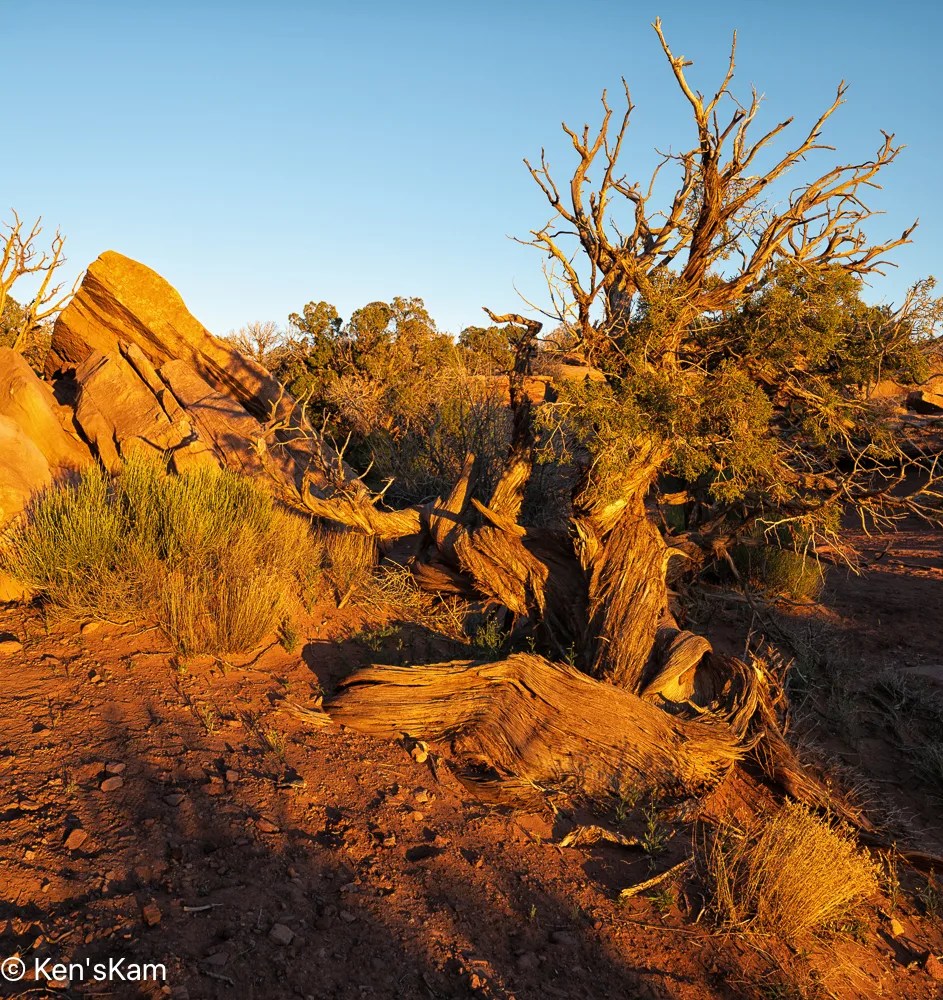
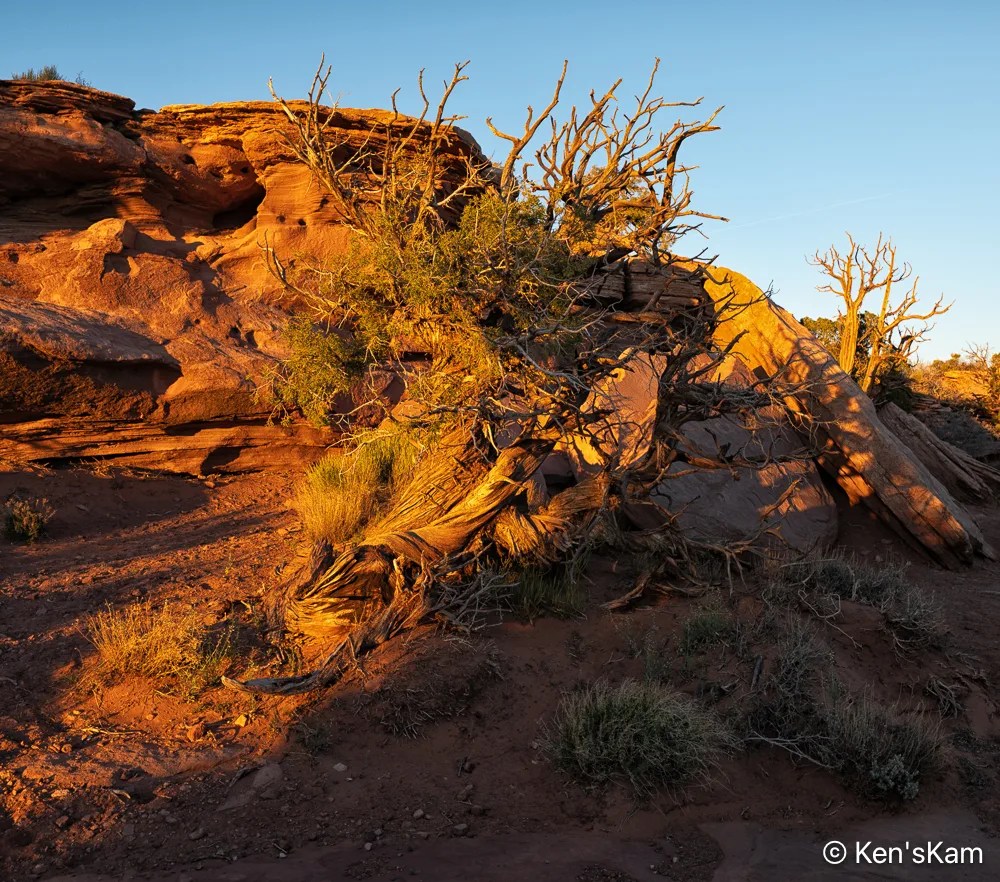
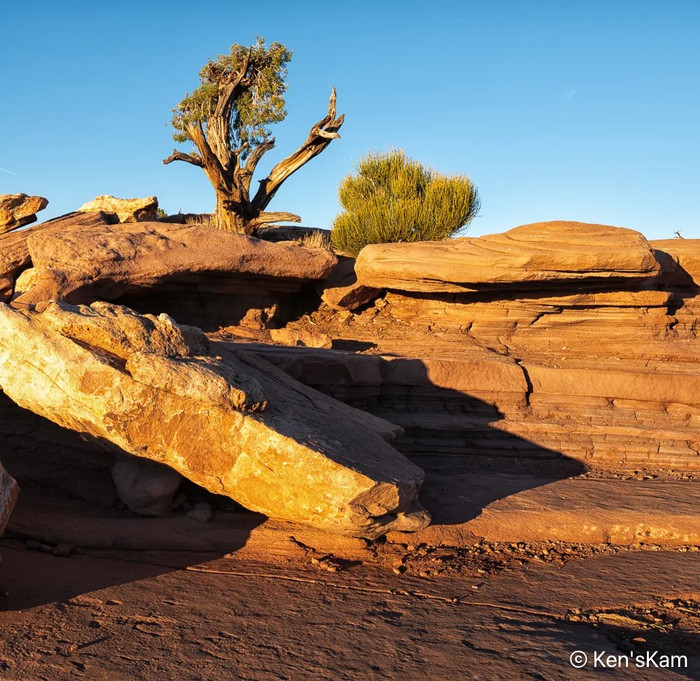
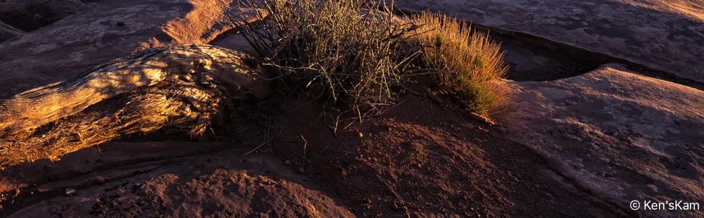
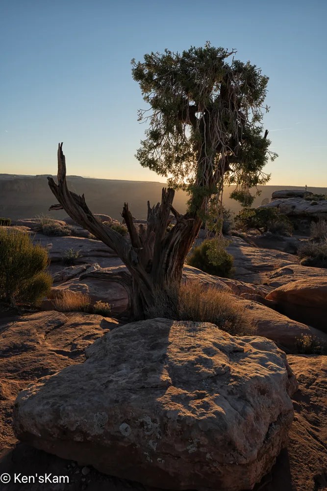
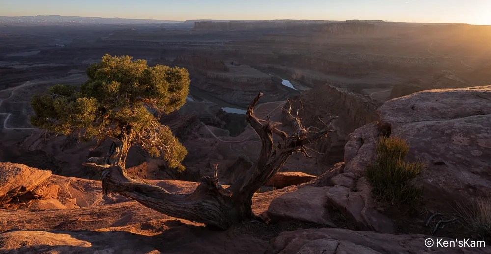
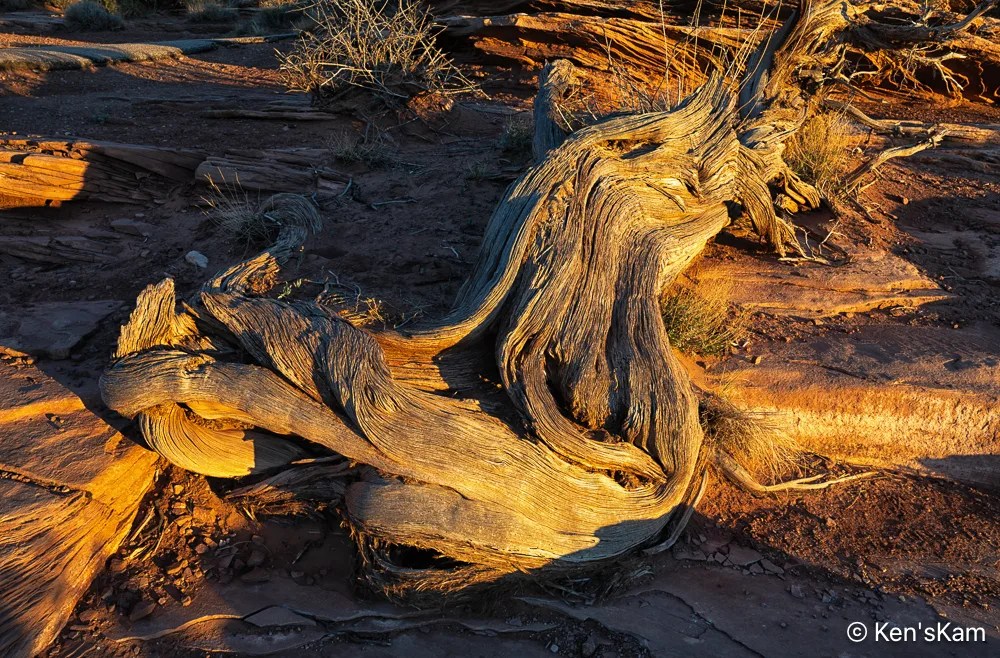
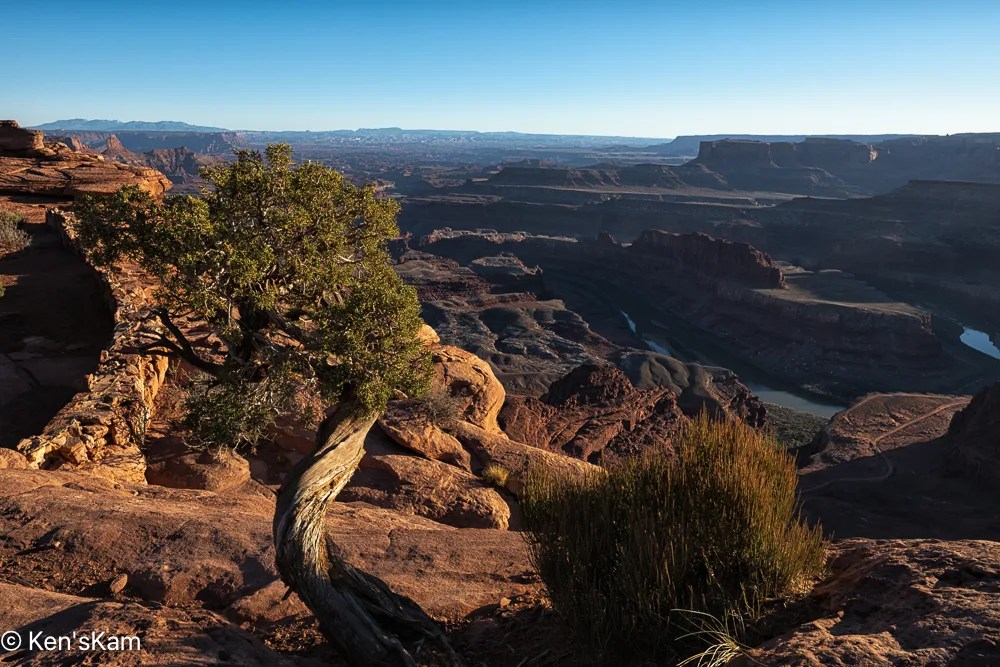
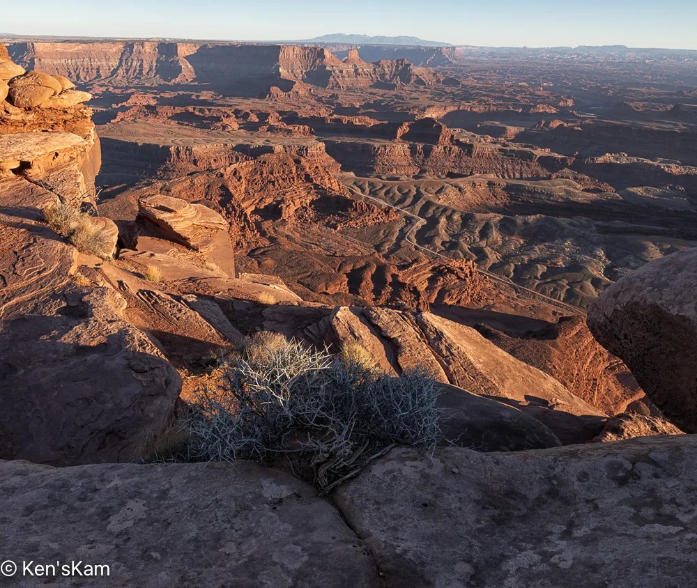
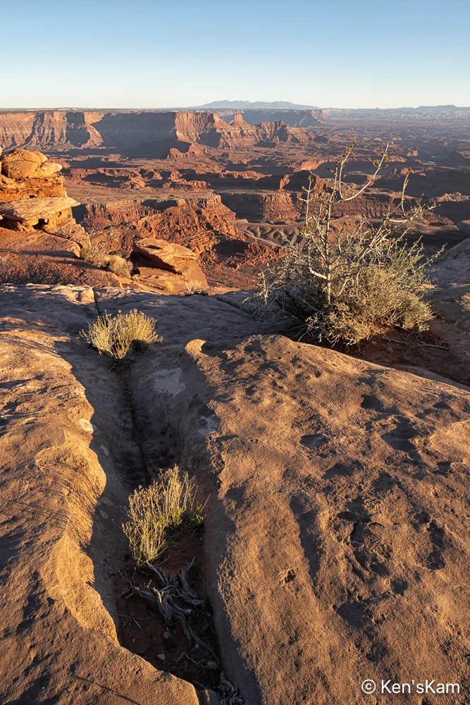
That bush skeleton was mostly in shadow before golden hour, so only a tiny portion of it is illuminated and the same is true for the tree skeleton in the image below.
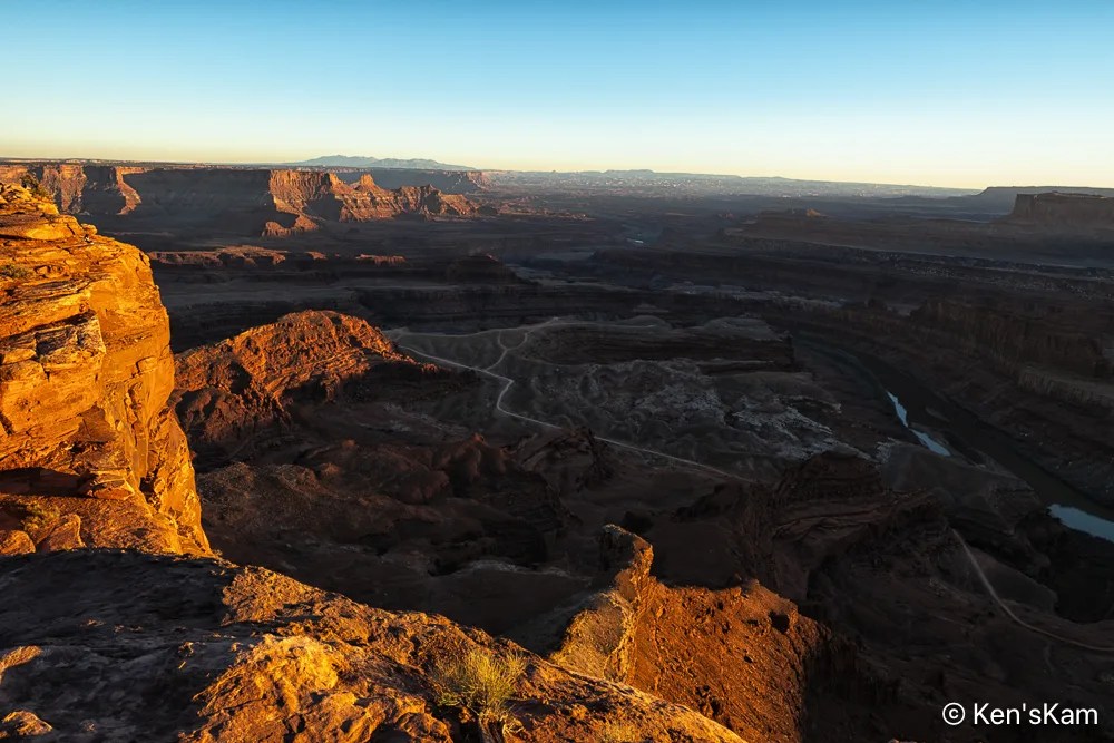
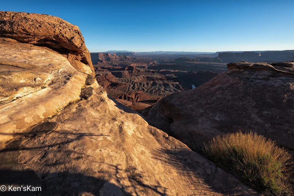
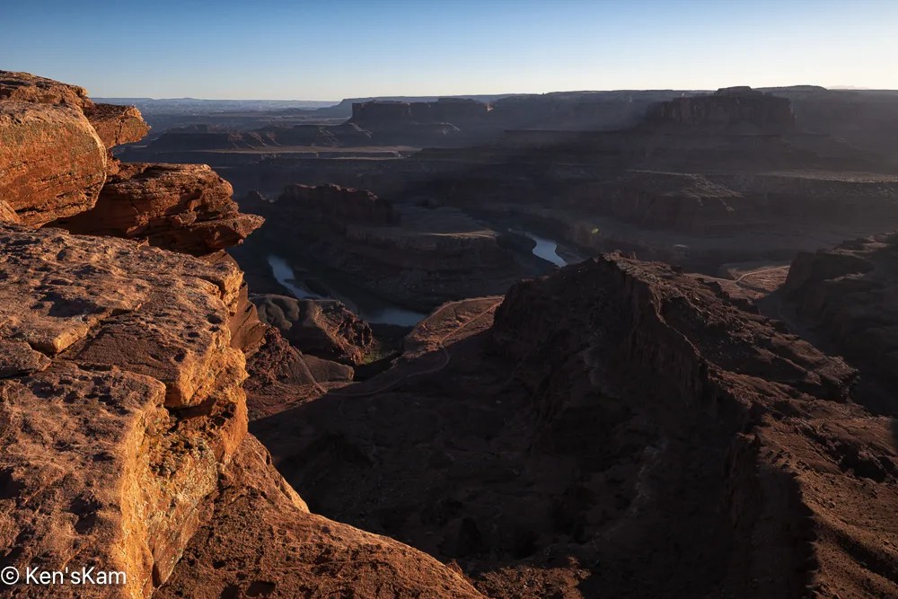
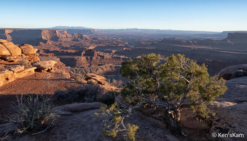
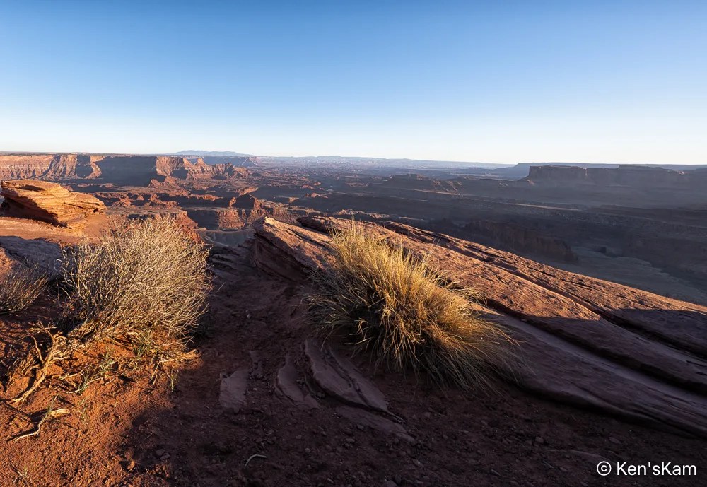
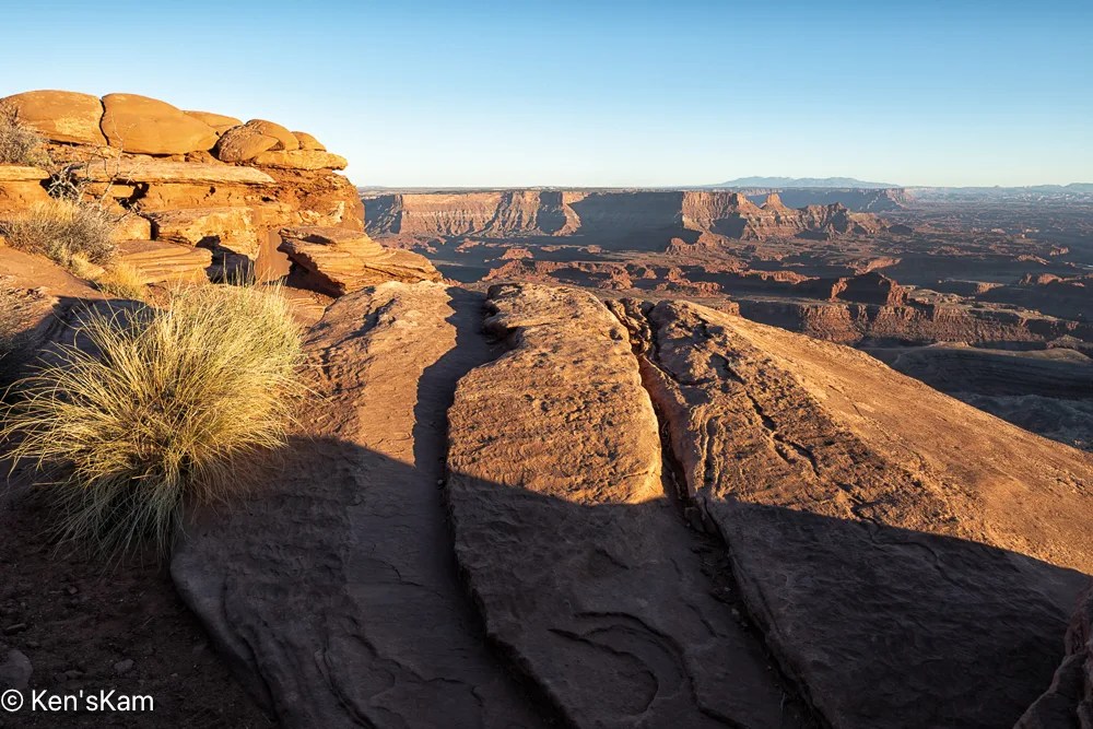
My son and I began shooting at Utah’s “Little Grand Canyon” ahead of sunset golden hour. This post contains images from that portion of time. The next post will contain golden hour photos.
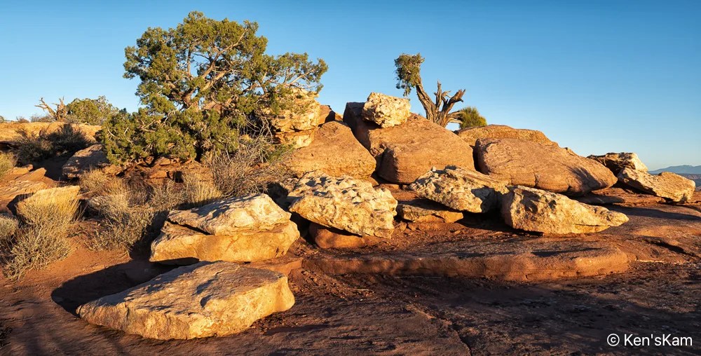
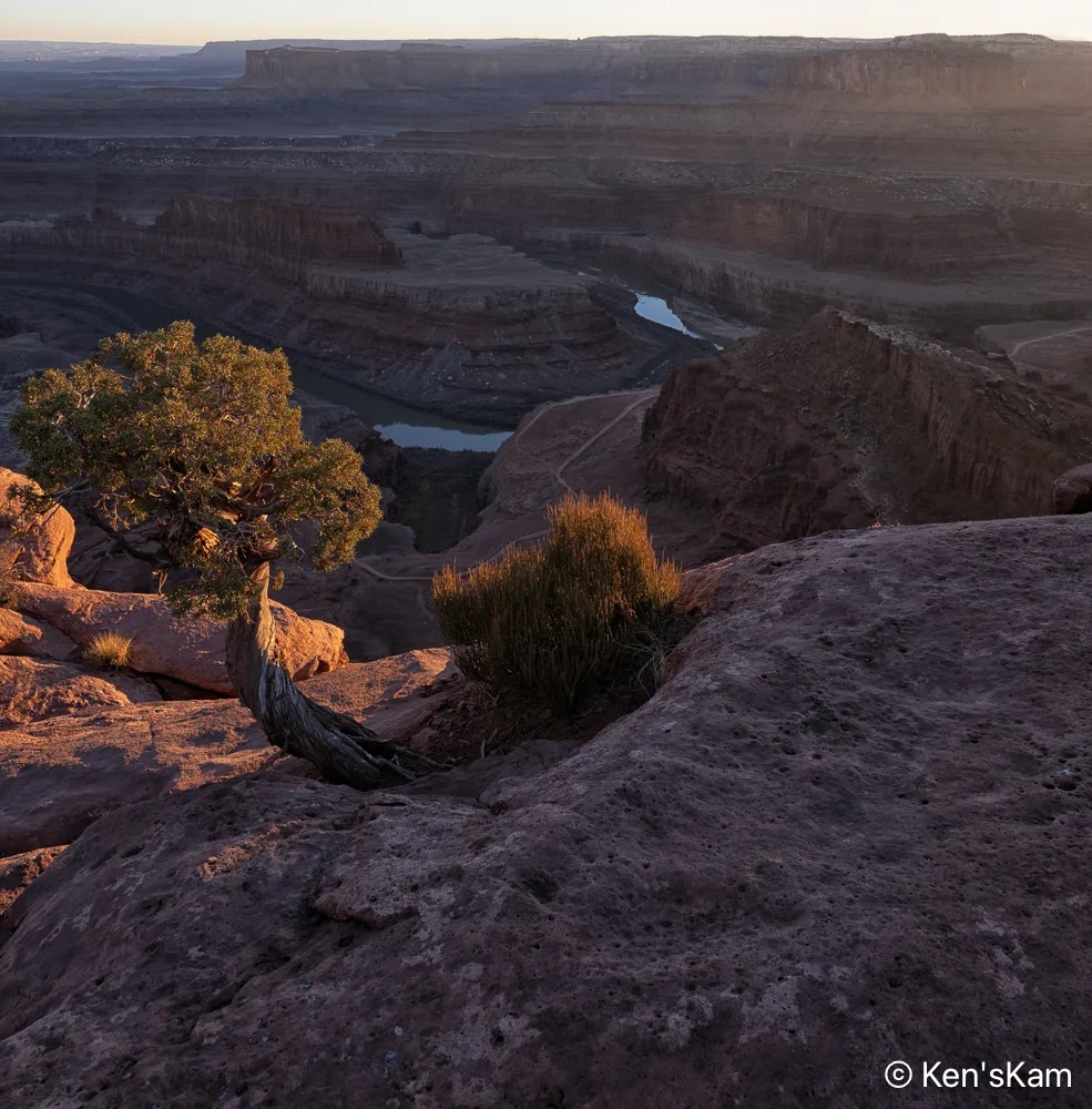
I like the way the late day light highlights the grass growing in the cracks between the rocks in ‘Late Day Shadows 4’, but I like the bigger picture image ‘Late Day Shadows 5’, made just a little later, when the highlights were almost gone, more. That small tree and the grass anchor the image in ‘Late Day Shadows 4’,
Late Day Shadows 5
but somehow getting more of the rocks into the foreground appeals more to me.
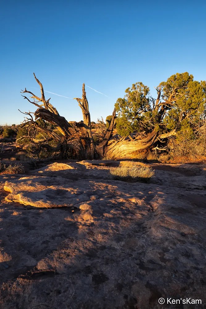
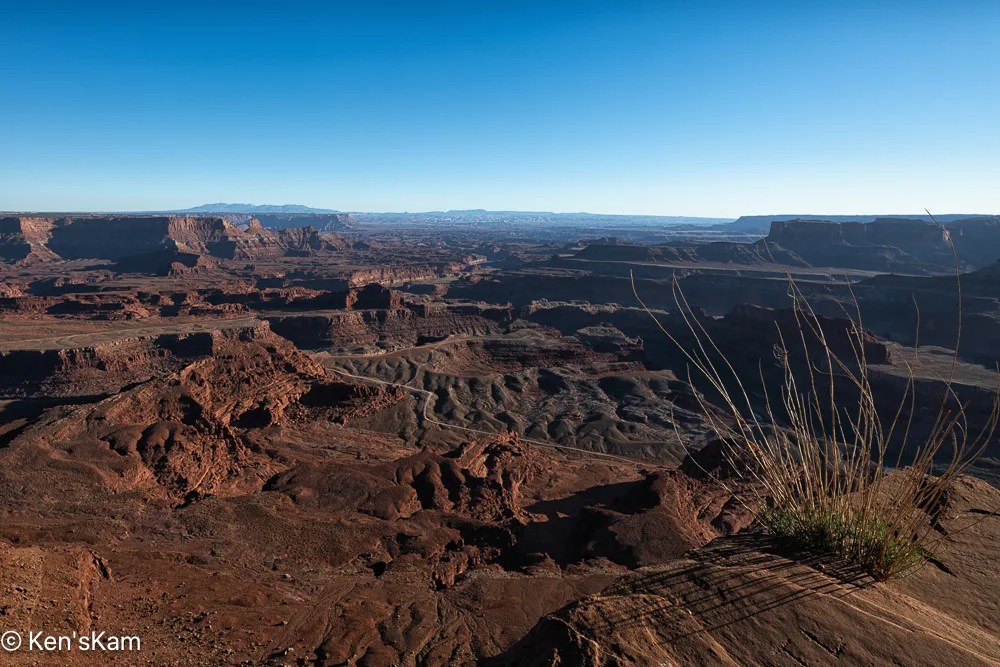
Note that ‘Late Day Shadows 6’ is composed very much like ‘Late Day Shadows 3’, but the shadows are deeper and the highlights look a little brighter in contrast to the shadows. Golden hour is close now. Stay tuned for golden hour images,
After miles of travel on gravel backroads, we arrived at Utah’s “Little Grand Canyon” or the “Wedge” as one viewpoint is called. This canyon does look similar to Arizona’s Grand Canyon, but on a much smaller scale. There are campsites (dry, and there were a few car/tent campers here) on the North end of the area and at least one pit toilet. The roadway through the camping area is rocky and rough, but nothing a normal passenger vehicle can’t handle.
From our base camp, we made a number of drives along 4 wheel drive roadways, portions of which were easy, some of which were “moderate”, involving driving in washes, alongside cliffs, drop offs and over boulders.
One of the these 4 wheel trails is called “Black Dragon”. We started this drive from our base camp and exited between portions of the San Rafael Reef onto I70. The Black Dragon names comes from a Native American Pictograph, which this trail goes past near the I-70 exit/entrance.
This panorama was shot from Black Dragon Viewpoint along I-70. A portion of Black Dragon trail is visible (a narrow band of light color) at the base (approximately in the center of the image) of the geological feature in the distance.
Note the chalk outlines added by someone, joining several pictographs to make them take on the appearance of a dragon. This is a defacement of the original Native American artwork.
The pictographs on this panel were done by ancients called the Barrier Canyon culture. There are petroglyphs on nearby rocks done by the Fremont culture of Native Americans.
Native American Artwork Panel
Please note that the petroglyphs on these rocks are subtle when viewed with the naked eye. I have greatly enhanced these images to bring out the subtle artwork. So, if you visit this are, do not expect to see panels that look like those in these images.
You will also note that modern day visitors have added graffiti to these panels. Please refrain from defacing this delicate and fading artwork left to us by the ancients dwelling here long before modern day people arrived here.
Native American Art Panel 1
I made numerous images of different portions of the panel, to bring out the details sufficiently for viewers of this post to visualize the artwork.
And again I remind readers that I’ve overlapped and zoomed in on various portions of the panel (and used extreme editing) to make the art more easy to visualize.
An early rancher in this area left his name on much of the area and there is an old log cabin that he built alongside one of the easily traveled roadways that any vehicle can travel to, at least in good weather. However, just past the cabin that roadway becomes a “moderate” 4 wheel drive as rated by trail books, but has some intervals of what might be better be described as “difficult” 4 wheel drive sections, which we decided not to venture very far along.
This old shack is at an abandoned uranium mine site called the Luck Strike Mine, which is actually still classified as “active”, even though there has been no activity here for many years. The small structure on the right of this image is a powder (explosive) storage shed.
This sign near the shack give a brief and interesting history of the mine and the lives of the miners who worked the mine, many of whom developed illnesses related to radiation exposure before there were any significant safety regulations  regarding such activity.
Most of the photos in this post were made via an iPhone camera.
There are numerous 4 wheel drive roads readily accessible near our first Utah campsite. Portions of these roads do not actually require 4 wheel drive, nor high clearance vehicles, so ordinary passenger vehicles can get to some of the places revealed in this post, unless there have been rains sufficient to make the roads impassable, in which case even 4 wheel drive vehicles should avoid portions of these roadways.
While waiting for my son to join me, I could not resist walking around the desert area surrounding my Utah campsite, capturing desert scenes with my iPhone camera.
I regret that I can’t find the poetry to describe these desert scenes. I’ve noted a few of my photography contacts on Flickr suddenly waxing poetic in a manner that suggest AI generated text. I have to admit, I’ve thought about that, but I’ve not yet given in to that temptation.
Thanks for following and stay tuned for more Utah desert scenes,