Utah – March 2026 – Part 8

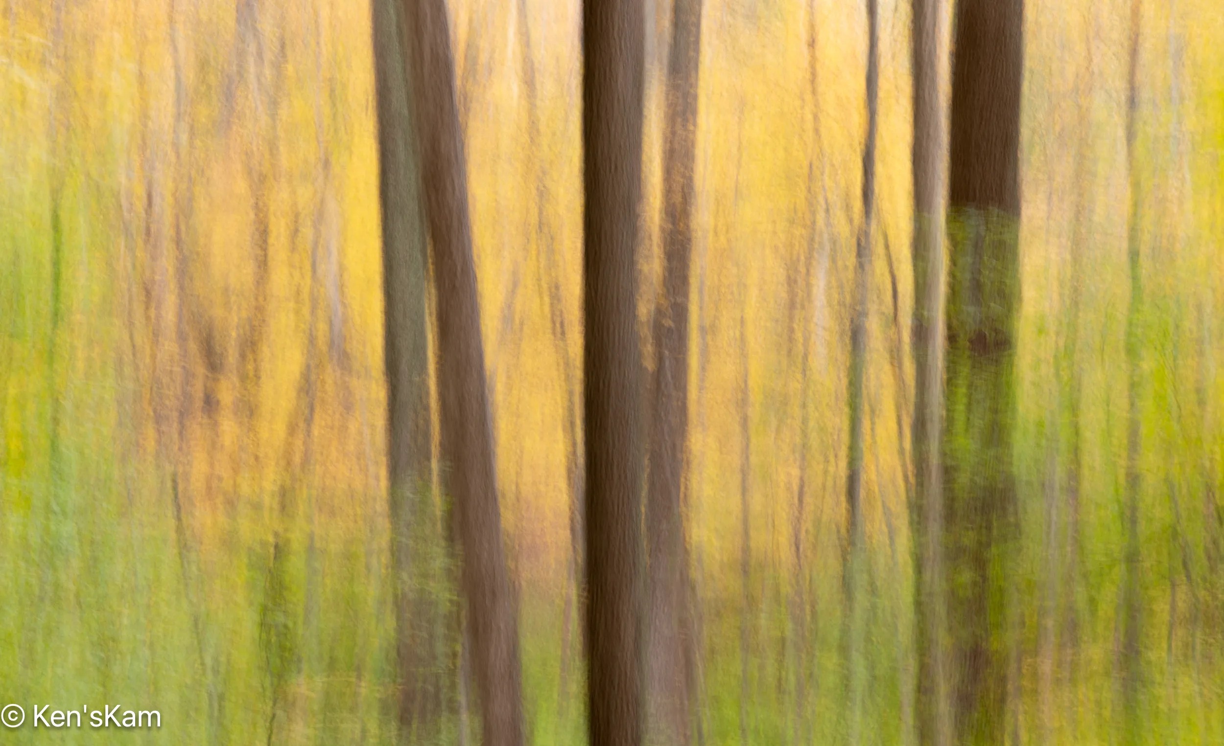
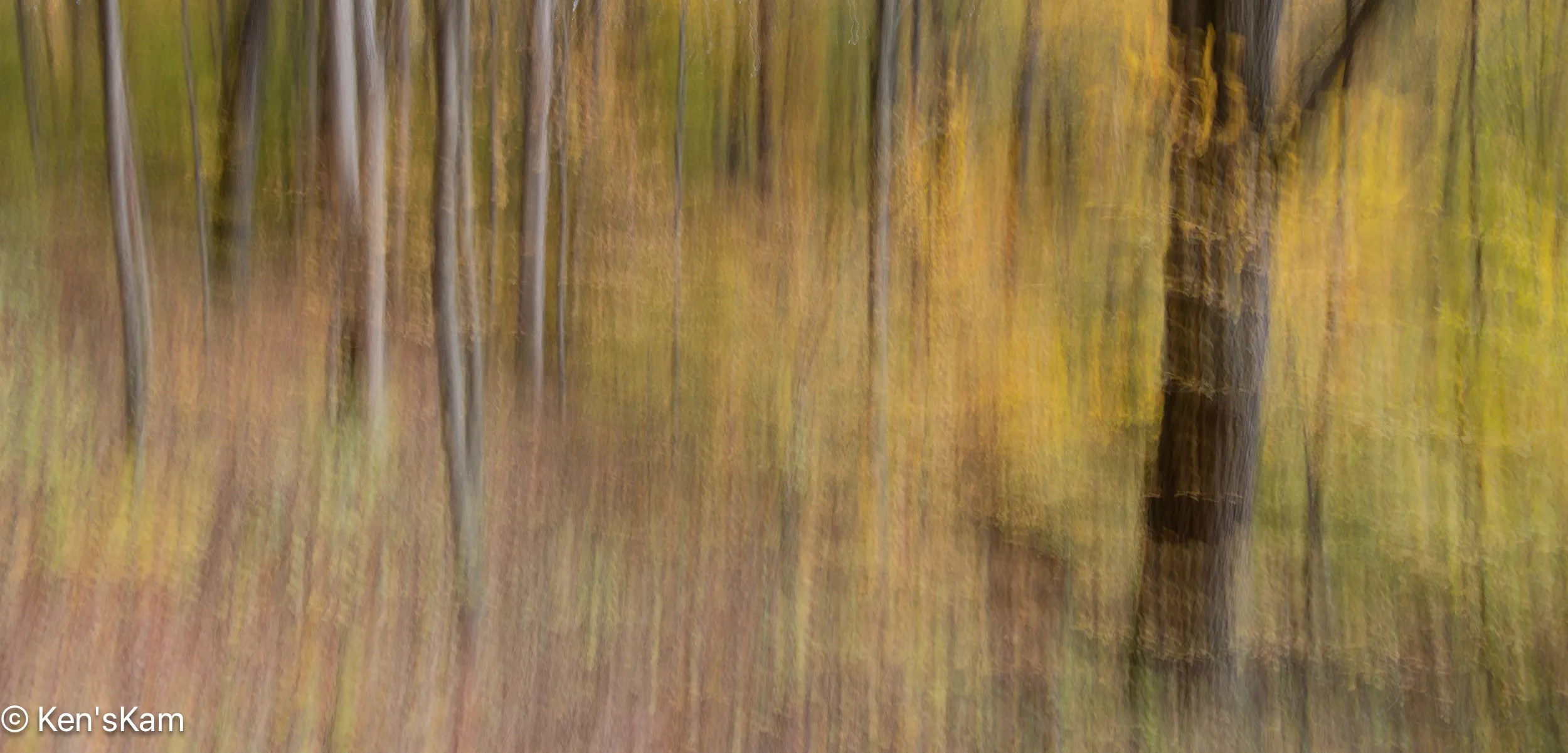
In reviewing a map of the area near our base camp, we discovered a place referred to as Utah’s “Little Grand Canyon”, along the San Rafael River. So we set out to check out that site. Along the way we found other interesting places and sites. This post and following ones will showcase our finds.

The drive to the “Little Grand Canyon” was along maintained gravel backroads, although most of the roadways were washboarded, rocky and rough, but scenic for long stretches with exposed geological features.

There are a couple of easily accessible Native American artwork panels on rock faces along this drive. One requires walking up a slight incline to reach, but the most impressive one, Buckhorn Wash Petroglyph Panel, has a large parking lot and is literally right at the edge of the parking lot.

Buckhorn Wash Petroglyph Panel Pano

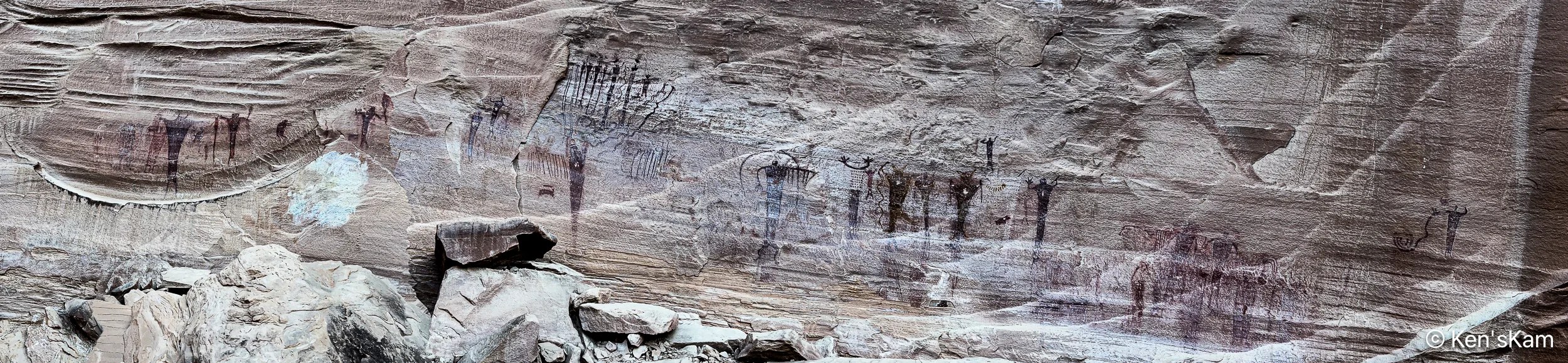
The Buckhorn Wash Petroglyph panel is long. Much longer than this panorama might indicate. I made this panorama with my iPhone by walking fast from one end of the panel to the other, trying not to trip and fall on the rocky, uneven surface. I was inspired to do this, after watching my son do it. Otherwise, I might never have thought to do a pano in this manner.

The following images are shots of small portions of the panel, showing details of some of the pictographs.

Buckhorn Wash Pictograph 1
Buckhorn Wash Pictograph 2
Buckhorn Wash Pictograph 3
Buckhorn Wash Pictograph 4
Buckhorn Wash Pictograph 5
Buckhorn Wash Pictograph 6
Buckhorn Wash Pictograph 7

There are a number of signs placed in front of this panel with information and questions about what these images mean and how newer cultures came along and modified the older pictographs. And, yes, even modern day vandalism. In fact much damage to this panel was partially repaired in 1995.

Information Sign at Buckhorn Wash Petroglyph Panel

Please refrain from defacing such ancient records. These are already fading away due to natural weathering. Don’t accelerate the loss.

Ken

Utah – March 2026 – Part 7

From our base camp, we made a number of drives along 4 wheel drive roadways, portions of which were easy, some of which were “moderate”, involving driving in washes, alongside cliffs, drop offs and over boulders.

One of the these 4 wheel trails is called “Black Dragon”. We started this drive from our base camp and exited between portions of the San Rafael Reef onto I70. The Black Dragon names comes from a Native American Pictograph, which this trail goes past near the I-70 exit/entrance.

Panorama at Black Dragon Viewpoint

This panorama was shot from Black Dragon Viewpoint along I-70. A portion of Black Dragon trail is visible (a narrow band of light color) at the base (approximately in the center of the image) of the geological feature in the distance.

Black Dragon

Note the chalk outlines added by someone, joining several pictographs to make them take on the appearance of a dragon. This is a defacement of the original Native American artwork.

The pictographs on this panel were done by ancients called the Barrier Canyon culture. There are petroglyphs on nearby rocks done by the Fremont culture of Native Americans.

Native American Artwork Panel

Please note that the petroglyphs on these rocks are subtle when viewed with the naked eye. I have greatly enhanced these images to bring out the subtle artwork. So, if you visit this are, do not expect to see panels that look like those in these images.

You will also note that modern day visitors have added graffiti to these panels. Please refrain from defacing this delicate and fading artwork left to us by the ancients dwelling here long before modern day people arrived here.

Native American Art Panel 1

I made numerous images of different portions of the panel, to bring out the details sufficiently for viewers of this post to visualize the artwork.

Native American Art Panel 2
Native American Art Panel 3
Native American Art Panel 4
Native American Art Panel 5
Native American Art Panel 6
Native American Art Panel 7
Native American Art Panel 8
Native American Art Panel 9
Native American Art Panel 10

And again I remind readers that I’ve overlapped and zoomed in on various portions of the panel (and used extreme editing) to make the art more easy to visualize.

Thanks for following,

Ken


Utah – March 2026 – Part 6

An early rancher in this area left his name on much of the area and there is an old log cabin that he built alongside one of the easily traveled roadways that any vehicle can travel to, at least in good weather. However, just past the cabin that roadway becomes a “moderate” 4 wheel drive as rated by trail books, but has some intervals of what might be better be described as “difficult” 4 wheel drive sections, which we decided not to venture very far along.

Swasey Cabin

This image makes is look as if there is a big rock feature on top of the cabin, but it is actually on a hillside behind the cabin.

Distinctive Rock Feature Above Swasey Cabin
Swasey Cabin 2 (backside)
Above Swasey Cabin
Above Swasey Cabin 2
Panorama Above Swasey Cabin

Thanks for following and stay tuned for more Utah landscapes,

Ken


Utah – March 2026 – Part 5

More Utah Desert photography.

Tomsich Mine 1
Tomsich Mine 2
Desert Crash 1
Desert Crash 2
Deserted Desert Oven
Lucky Strike Mine Shack

This old shack is at an abandoned uranium mine site called the Luck Strike Mine, which is actually still classified as “active”, even though there has been no activity here for many years. The small structure on the right of this image is a powder (explosive) storage shed.

Demolition Phase
Mine Shack 2
Mine Shack 3
Desert Furnace
Lucky Strike Mine

This sign near the shack give a brief and interesting history of the mine and the lives of the miners who worked the mine, many of whom developed illnesses related to radiation exposure before there were any significant safety regulations  regarding such activity.

Most of the photos in this post were made via an iPhone camera.

Thanks for following,

Ken

Utah – March 2026 – Part 4

There are numerous 4 wheel drive roads readily accessible near our first Utah campsite. Portions of these roads do not actually require 4 wheel drive, nor high clearance vehicles, so ordinary passenger vehicles can get to some of the places revealed in this post, unless there have been rains sufficient to make the roads impassable, in which case even 4 wheel drive vehicles should avoid portions of these roadways.

Desert Blues 1

There are numerous old mine sites scattered around this area, where one can find old abandoned vehicles and structures.

Desert Blues 2

And there is much exposed geology to see, too.

Utah Desert Pano
Yellow Truck 1
Yellow Truck 2
Desert Engine
Hondoo Arch

Hondoo (“Hondu” in some references) Arch sits high up on a hill and is seen at a viewpoint at a turn around point on one local desert trail.

Desert Layers

Most of the photos in this post are from my iPhone, while a few are from my Nikon D850 with a 24-70mm lens.

More desert photos to come,

Ken

Impressions of Fall 2025 – Part 18

This is a continuation of 2025 fall photography in Indiana.

Ogle Lake Reflection

A Super Moon was on the calendar for one of my days in Indiana. So I went to Ogle Lake in nearby Brown County State Park to photograph the moon with its reflection in the lake. I chose my shooting position based upon where The Photographers Ephemeris App indicated the moon would rise.

Beaver Super Moon 1
Beaver Super Moon and Reflection 1
Beaver Super Moon 2
Beaver Super Moon via 80-400mm with 1.4 Extension Tube
Beaver Super Moon
Super Moon and Reflection

Thanks, for following,

Ken


Impressions of Fall 2025 – Part 17

This is a continuation of 2025 fall photography in Indiana.

Maple Leaf Variations
Sassafras and Company
Trunks, Limbs, Leaves 1
Fall Forest Light 15
Trunks, Limbs, Leaves 2
Fall Forest Light 16
Red Sassafras
Red/Yellow Sassafras

Thanks for following,

Ken

Impressions of Fall 2025 – Part 16

This is a continuation of 2025 fall photography in Indiana.

Fall Forest Layers 14
Fall Forest Layers 15
Sun Worshiper
Fall Forest Sky 5
Fall Forest Layers 16 (The photo within the photo)
Fall Forest Light 13
Fall Forest Sky 6
Fall Forest Light 14
Fall Forest Sky 7
Oak Leaf Cluster

Thanks for following, (and, yes, there will be more fall photos),

Ken

Impressions of Fall 2025 – Part 15

More 2025 fall photogrphy in Indiana.

Fall Forest Abstract 16
Fall Forest Fire – An ICM Abstract – Not a Real Fire
Flickering Fall Flames
Fall Forest Abstract 18
Fall Forest Abstract 19
Fall Forest Light 10
Fall Forest Light 11
Fall Forest Sky 3
Fall Forest Sky 4
Fall Forest Light 12

Thanks for following and more fall photos to come,

Ken


Impressions of Fall 2025 – Part 14

More 2025 fall photography in Indiana.

Indiana Fall Backroad 5
Fall Forest Light 9
Fall Forest Layers 10
Fall Forest Layers 11
Fall Forest Layers 12
Fall Forest Layers 13
Fall Forest Abstract 12
Fall Forest Abstract 13
Fall Forest Abstract 14
Fall Forest Abstract 15

Thanks for following and stay tuned for more 2025 fall photos,

Ken