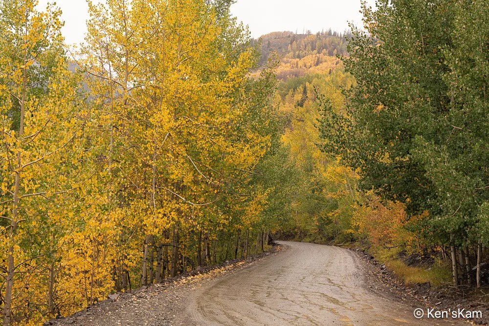
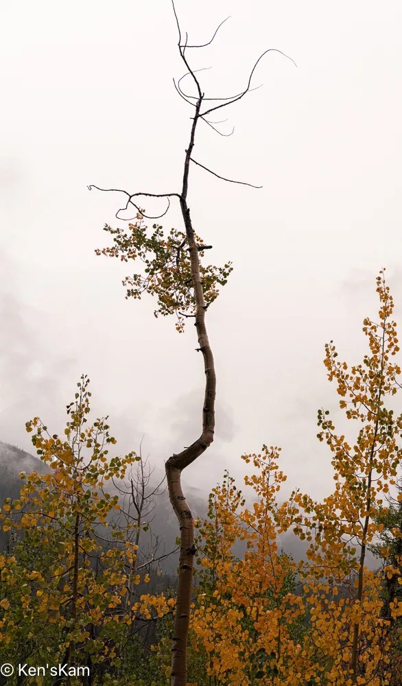
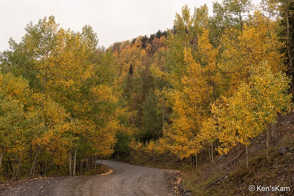
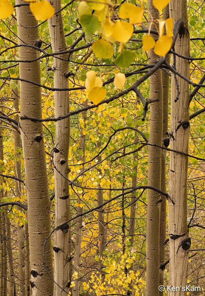
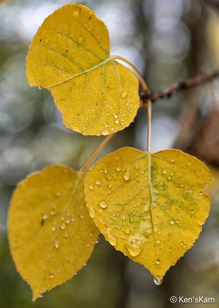
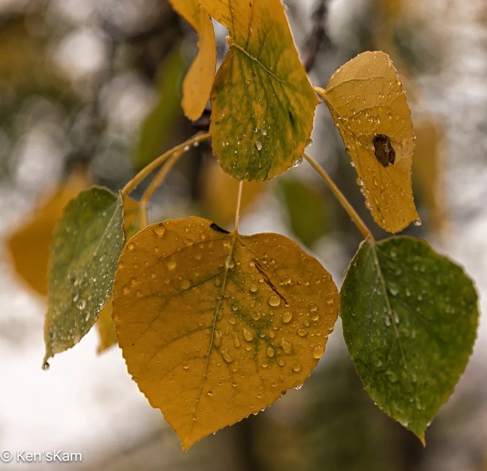
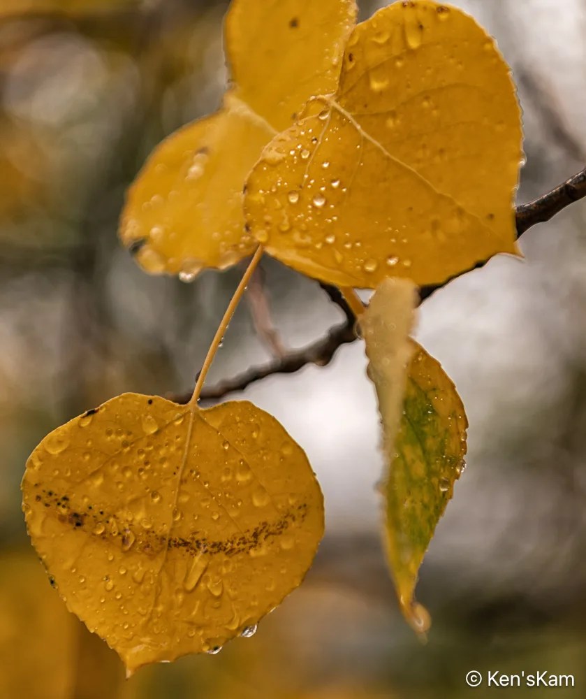
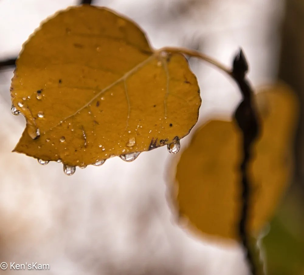
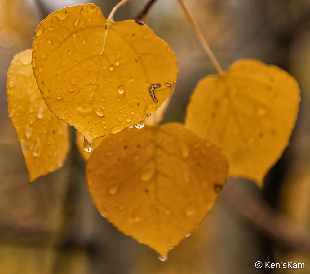
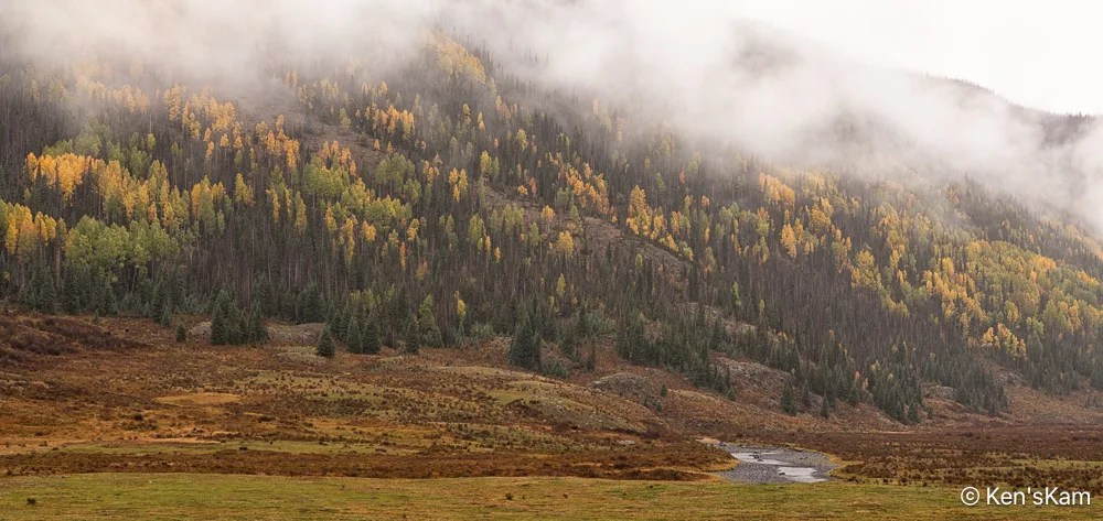
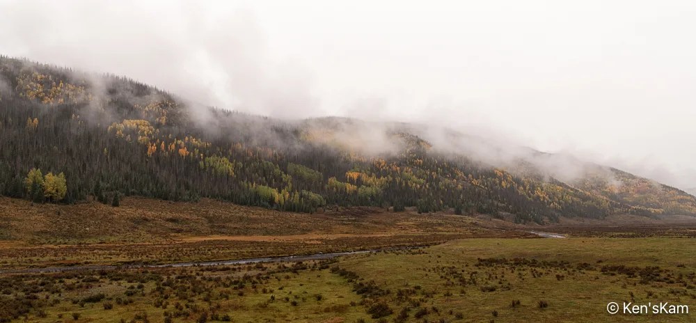
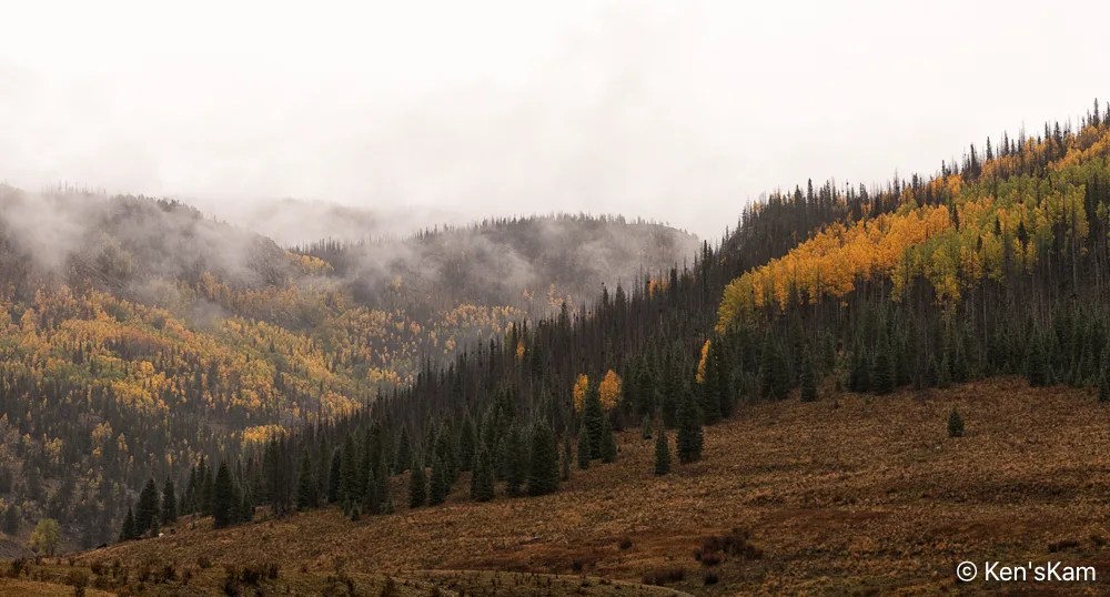
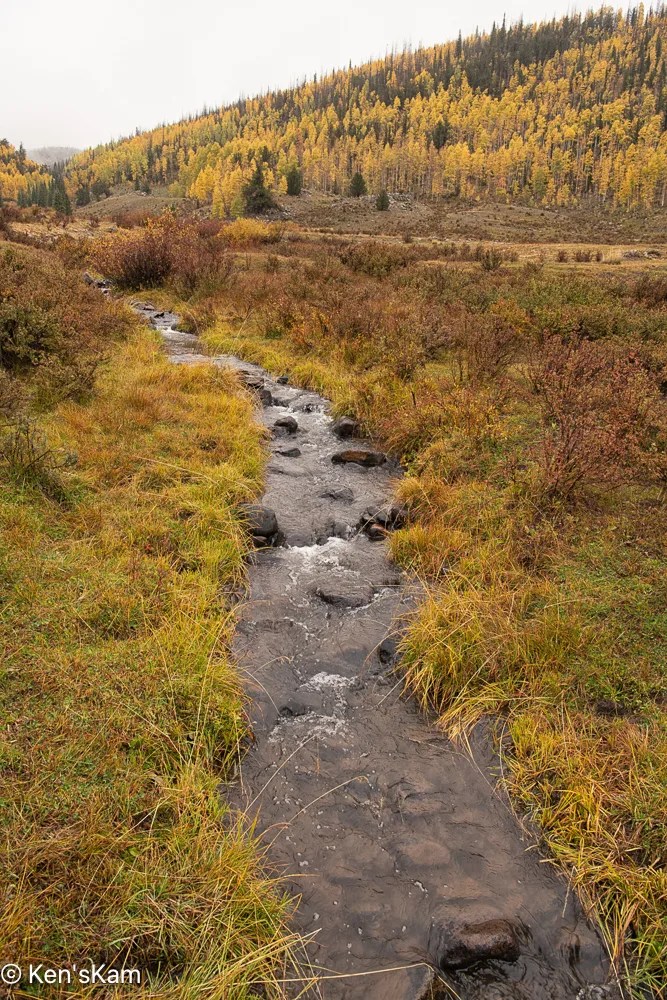
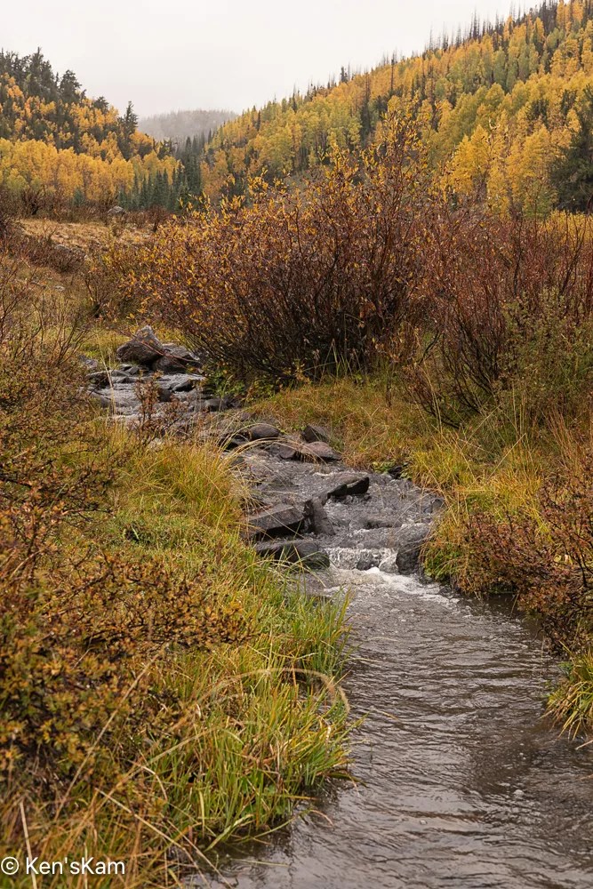
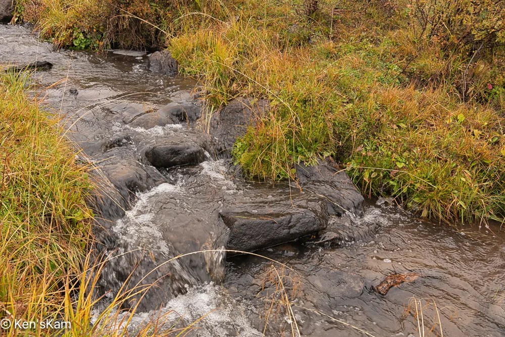
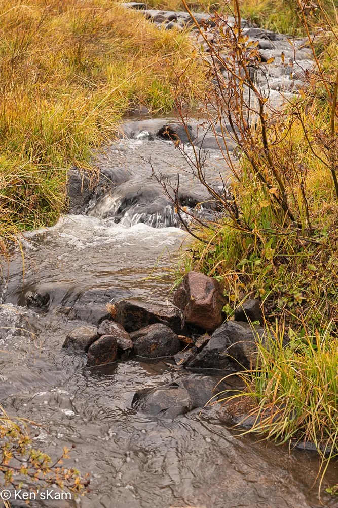
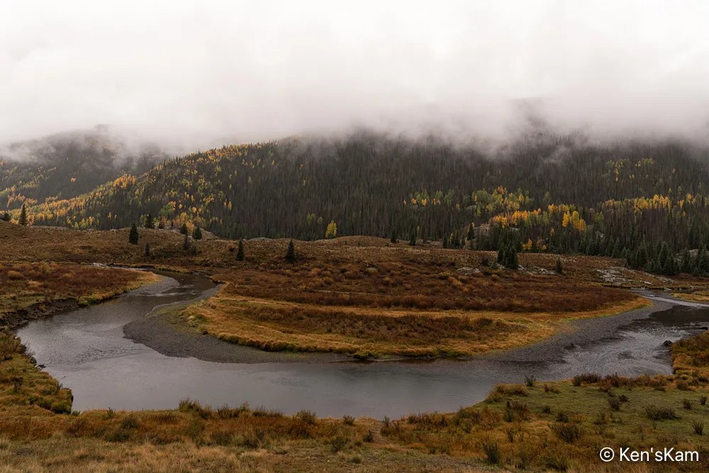
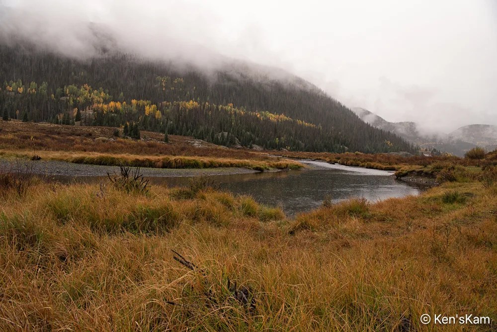
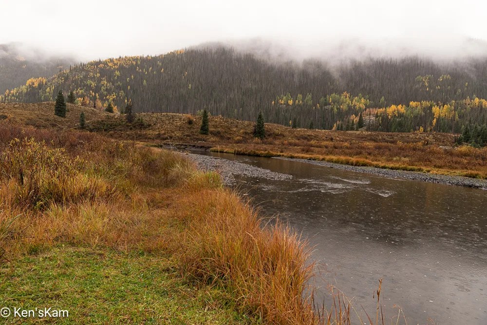
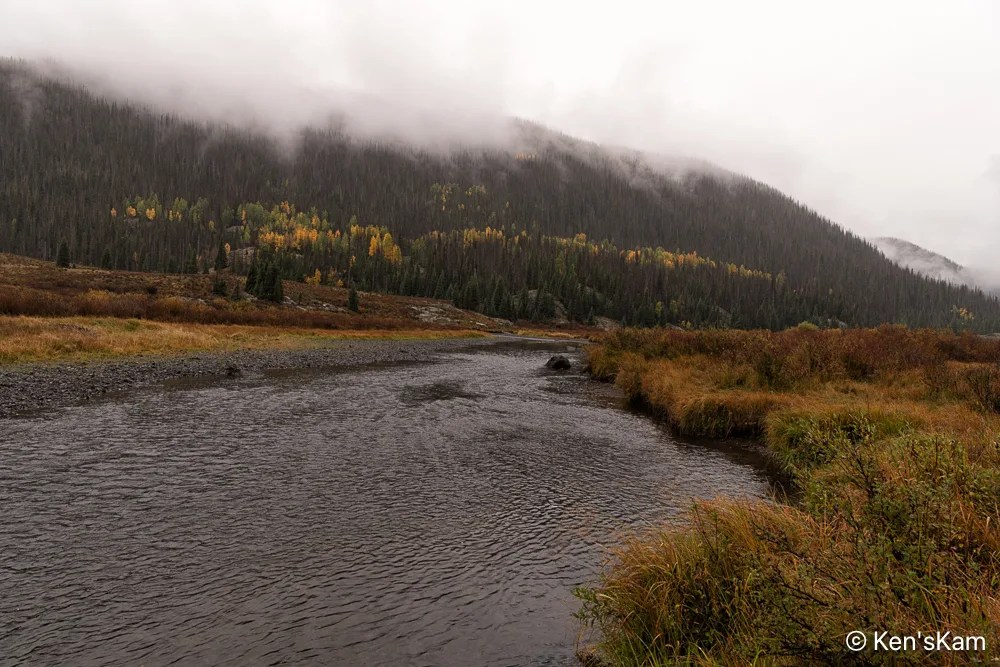
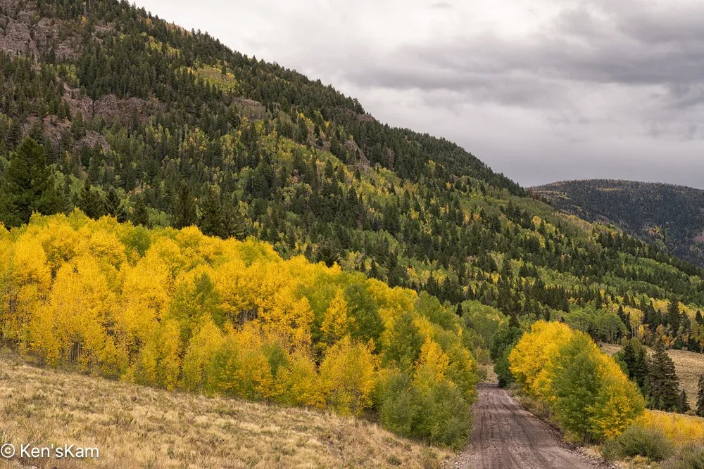
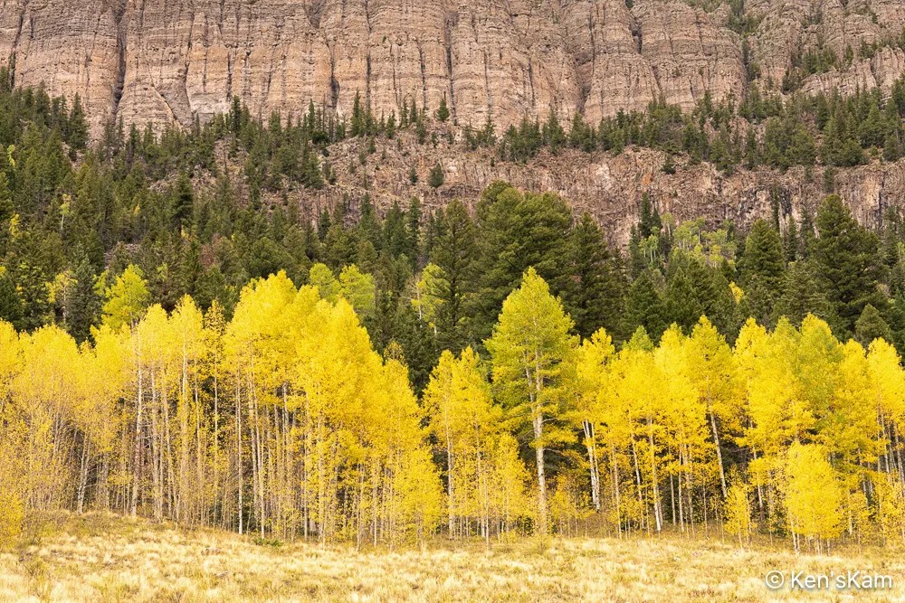
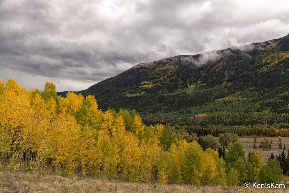
An advantage of walking along a forest roadway in the rain is getting photos like these, while passerbys stop to make sure you are ok, because nobody in their right mind walks around in the rain with a camera.
I made a number of images at this location, while walking around in the drizzling rain, along Forest Service Road 250, which follows the Conejos River for a long way in Rio Grande National Forest.
Valley, River, Mountainside, Mist
This was not the kind of weather I wanted, but I knew before I began this trip that there were significant chances of rain for each day here.
With the recent and continuing rains, the local streams were flowing again after a long dry spell and there is something irresistible about a mountain stream in every season.
It had been years since I visited Colorado in the fall. Not because I didn’t want to be there in the fall, but because the timing never worked out. This year I had a narrow window of opportunity to visit Colorado and I took advantage of it.
I knew in advance that this year might not be a great year for fall color in Colorado, due to a wide spread drought; but I knew that if I passed up this opportunity, I might not get another for years. So I went.
On the second day of travel, as I neared my destination in Southern Colorado, it began to rain. Mostly, light, intermittent showers, but sometimes heavy downpours. It rained and was overcast most of the time I was there with only the last couple of days partly sunny with occasional light rain.
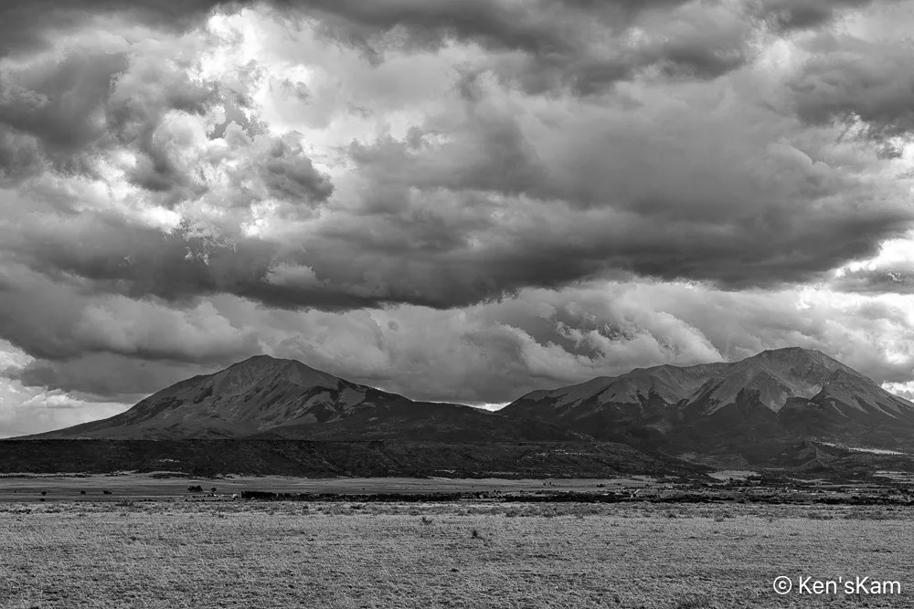
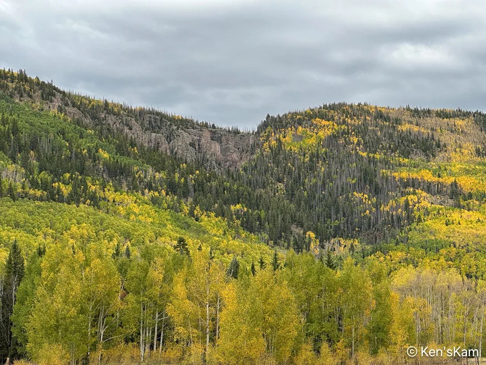
I’ve driven past these peaks numerous times in my trips to and from this part of Colorado. Today those heavy clouds above the peaks inspired me to stop and shoot this image.
I arrived at the south end of Forest Service Road 250 in the late afternoon and I stopped a few time along the road to shoot a few images, while looking for a place to overnight in my vehicle.
This time of the year is not only leaf peeping season in Colorado, but hunting season as well. So there were many hunters in the Rio Grande National Forest, taking up many of the open campsites. I was also surprised to see that a number of forest campgrounds that were closed the last time I was in this area were still closed. I don’t know why, but I suspect budget cuts by the current Washington regime is responsible.
And the rains made some dispersed camping areas difficult or impossible to use. Fortunately, I found a suitable place to stay overnight, although I did walk into the area first to make sure I could navigate the muddy dirt roads and puddles.
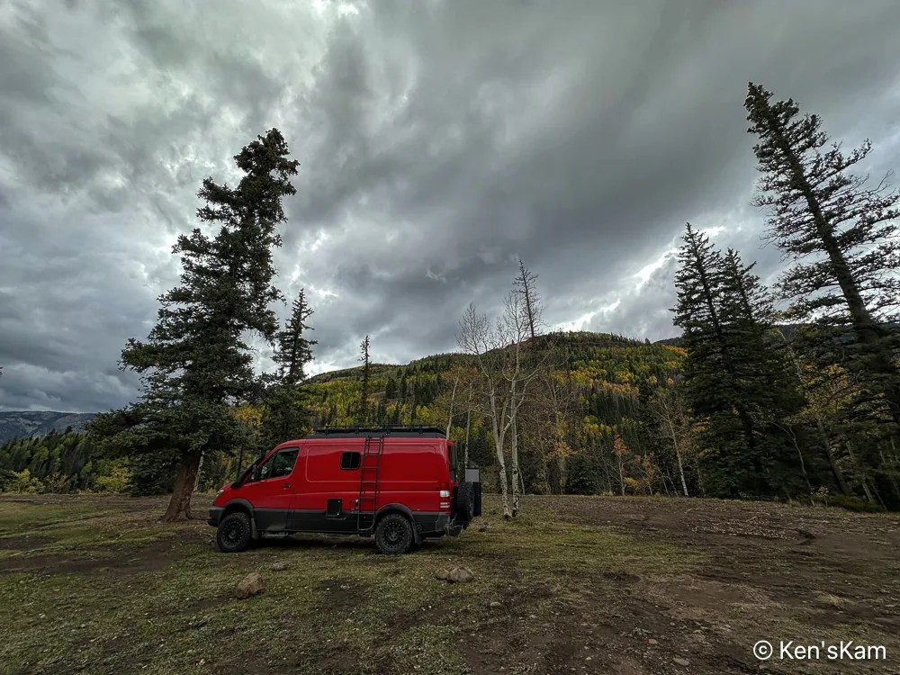
First Night’s Campsite
This is an iPhone photo with the wide angle lense distortion making it look like those evergreens are leaning in to protect my vehicle from the inclement weather.
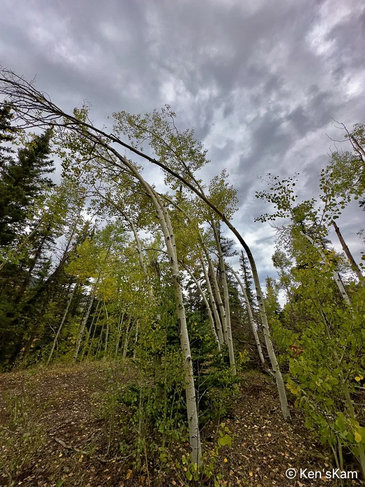
View from CampsiteBent Aspens
I found it interesting that this group of small aspens near my campsite are all bent in the same manner. Perhaps these were deformed when very small by a snow load and maintained that shape as they have grown.
More Colorado fall photos to come. Thanks for following,
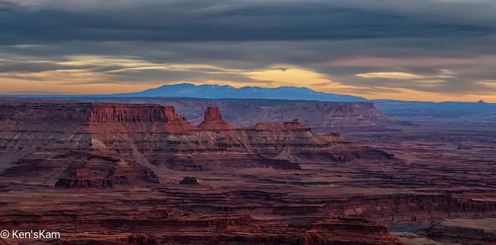
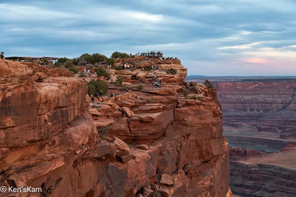
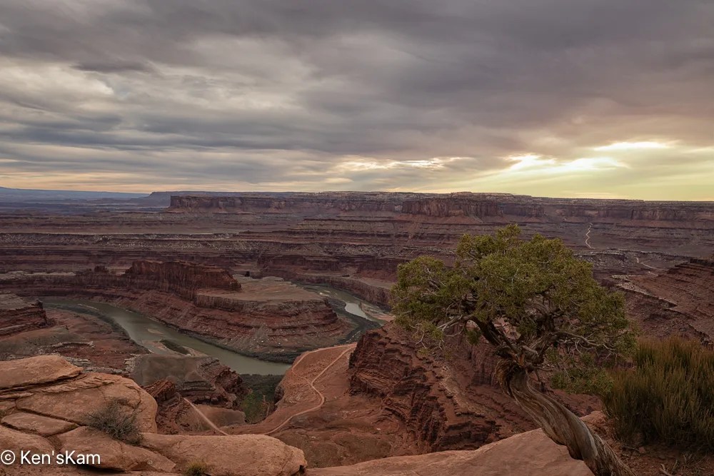
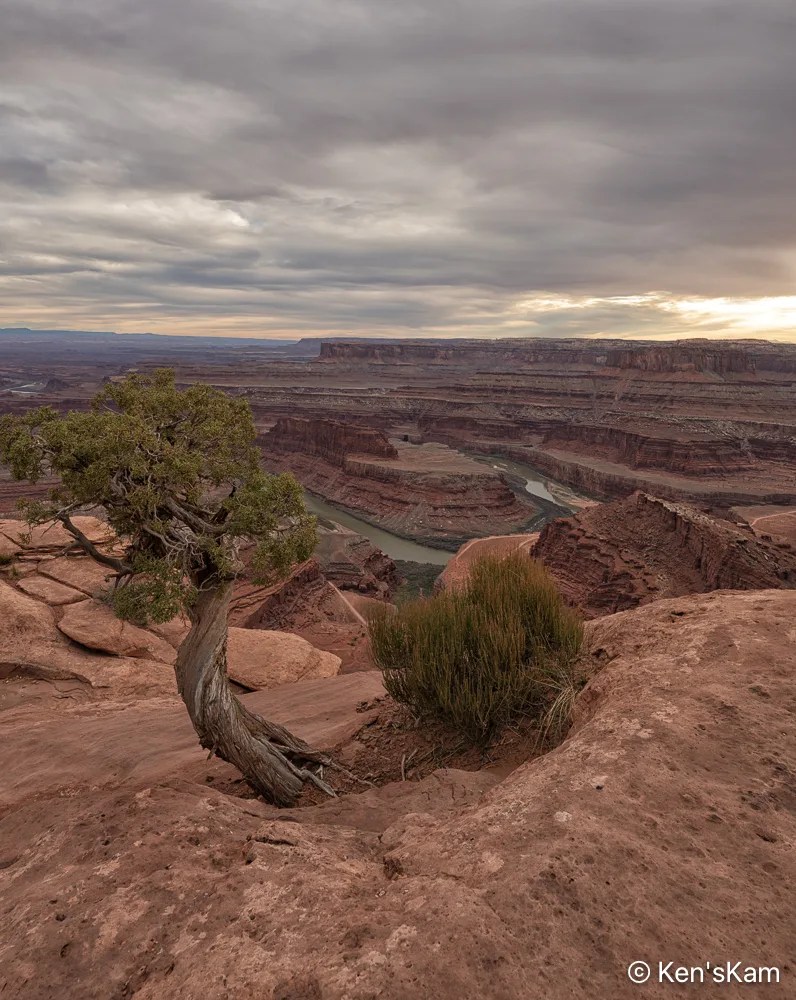
In an earlier post I revealed that I had gotten my posts out of chronological order. Now I’m stepping back a day to the evening prior to the overcast sky shoot at sunset at Dead Horse Point, Utah. The evening prior was much different.
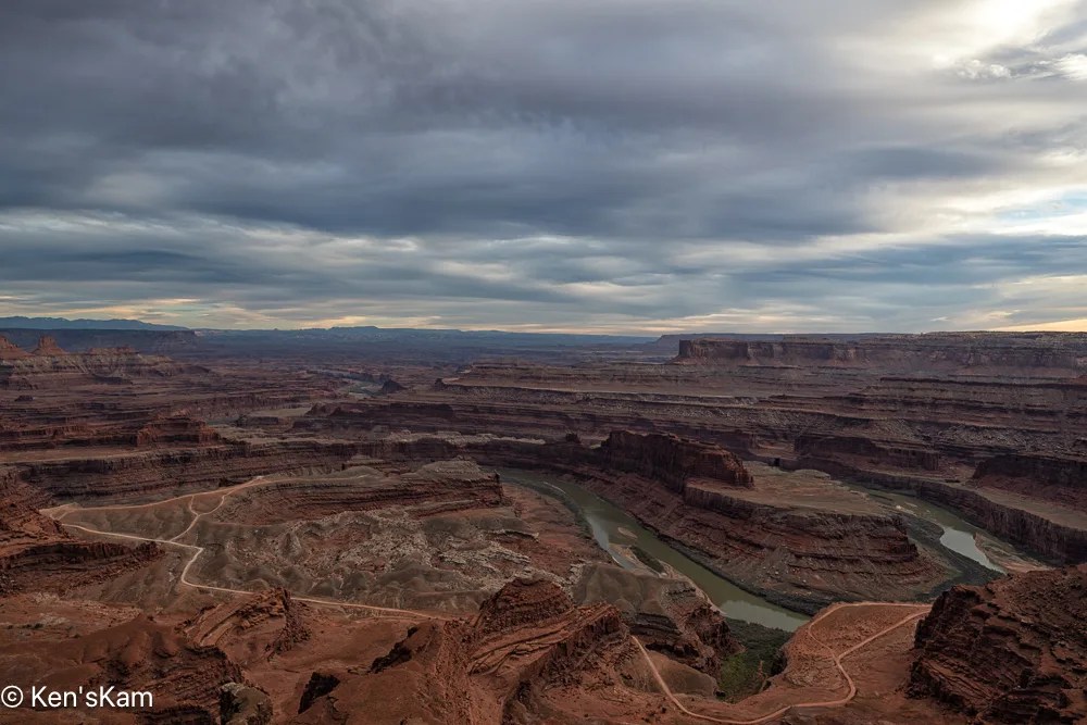
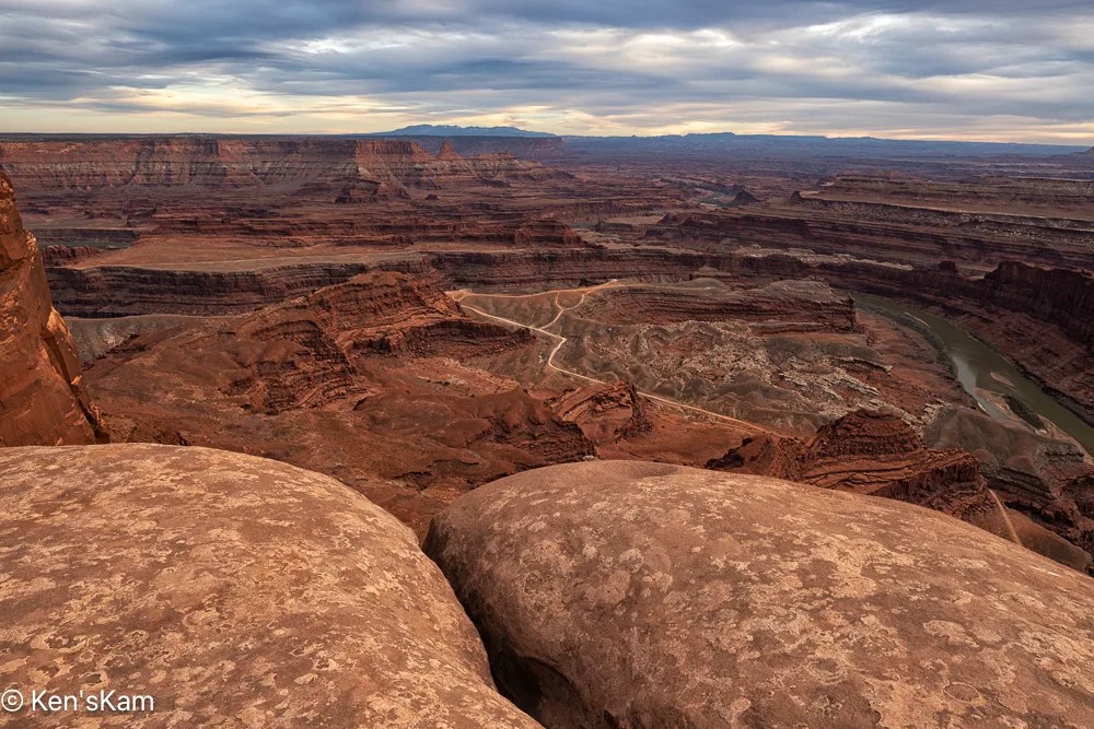
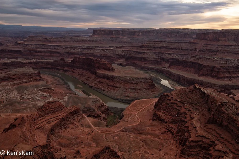
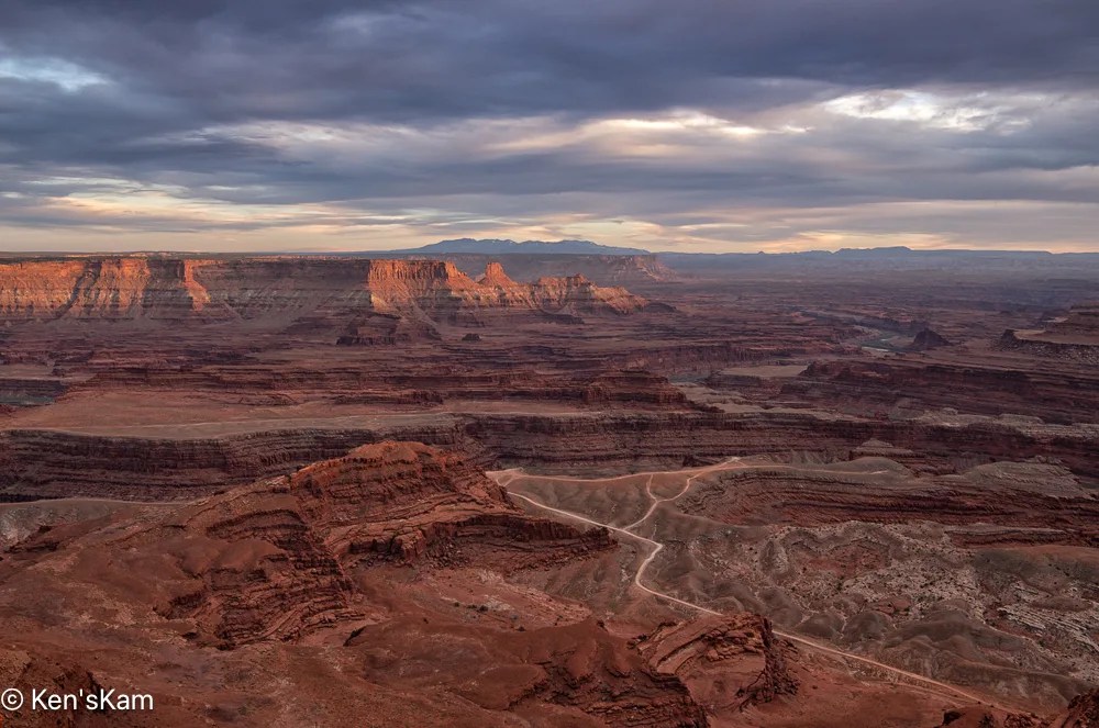
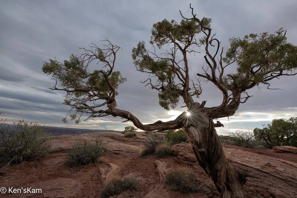
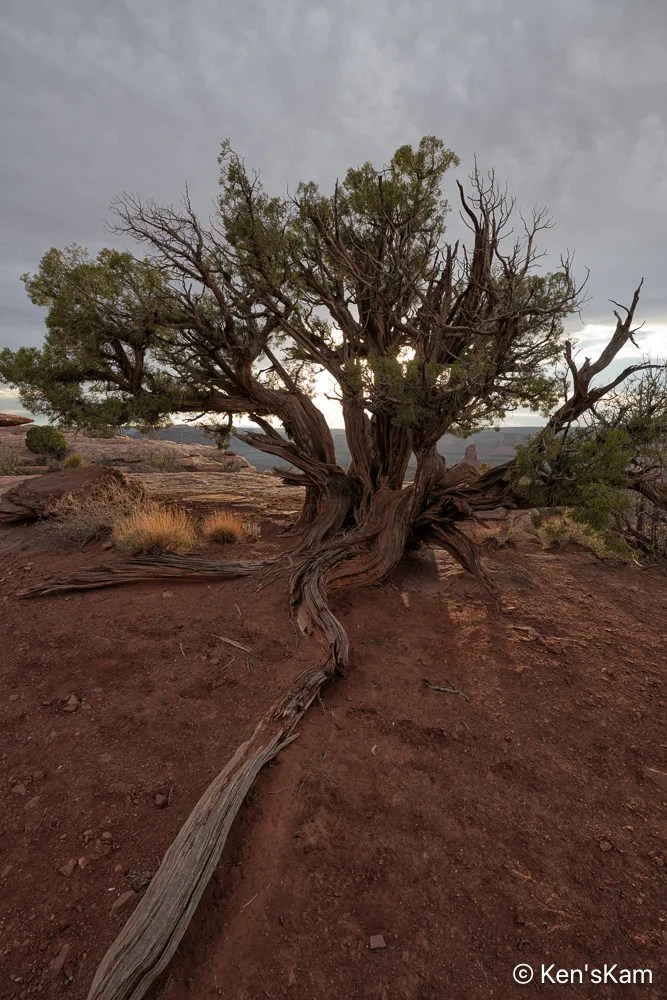
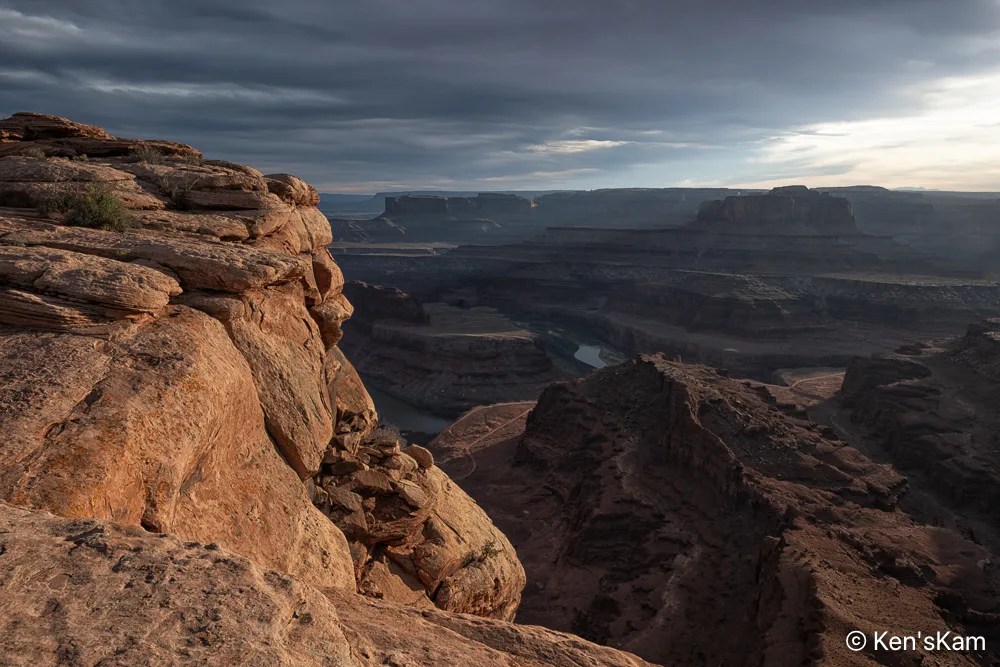
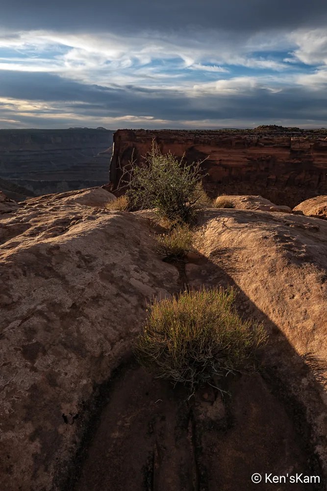
After driving Potash Road and the Shafer Trail, we returned to Dead Horse Point for sunset photography. It was a heavily overcast evening, so prospects for a golden sunset hour did not look promising.
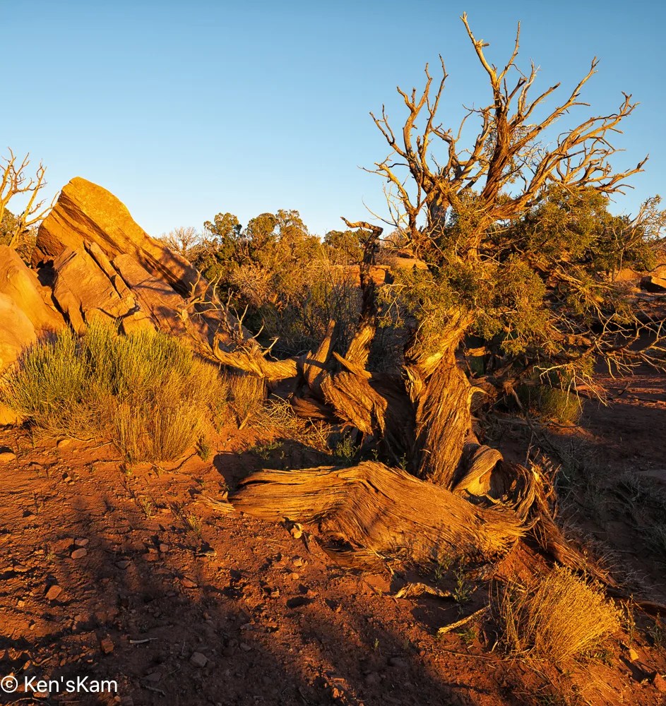
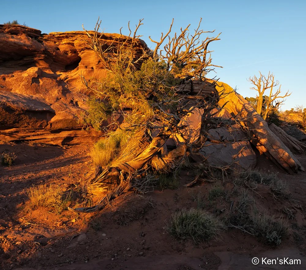
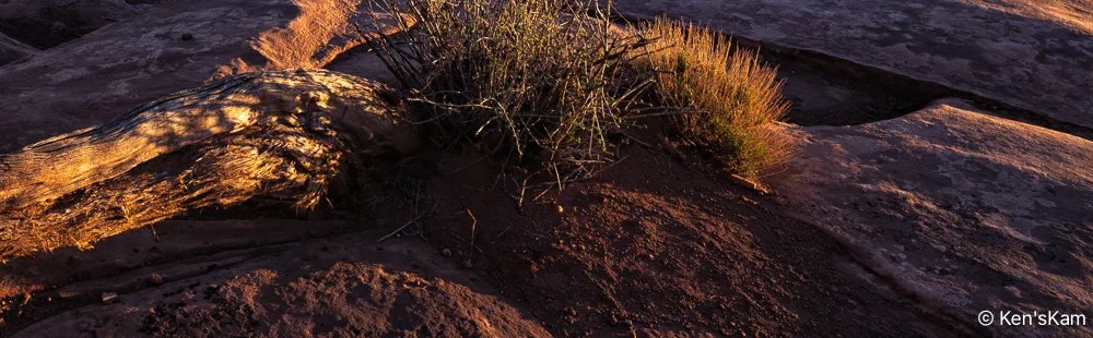
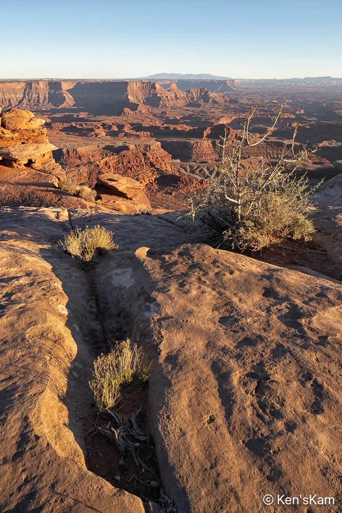
Desert plants sink their roots into the thin soil and hard rock, where scant moisture hides from the harsh sun. The V shape of the niche in the rock is reminiscent of similar shapes seen in Georgia O’Keefe’s artwork.
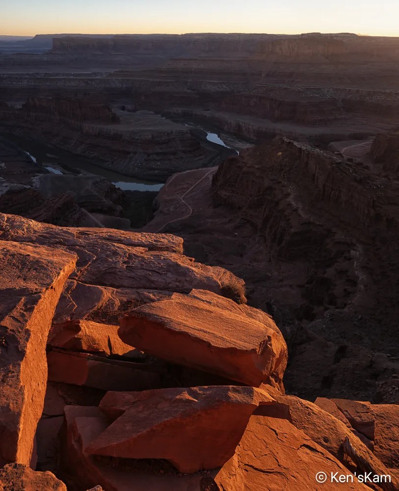
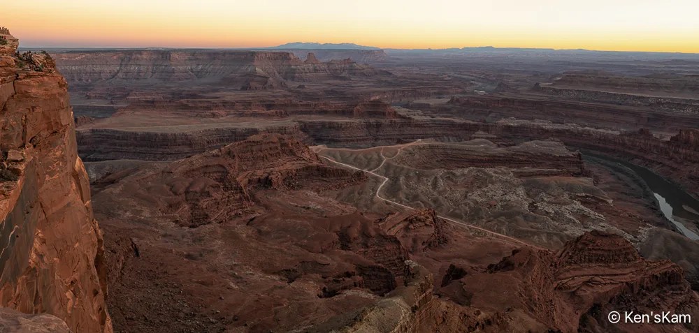
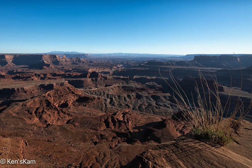
Followers probably noted the winding road through the landscape as seen from Dead Horse Point in previously posted images. After shooting sunrise at Dead Horse Point, we traveled that road. This post contains a few of the photographys made along that road.
I think this road might be refered to by different names and I’ve mostly heard folks talk about this route as Shafer Trail, but my map shows this portion as Potash Road, to the best that I can decipher the map labels
This pond is a part of a potash production facility. Potash (potasium chloride) is disolved from underground rock with water pumped from the Colorado River and put into evaporation ponds. Blue dye is added to the water to increase solar energy absorption that heats the water speeding up the evaporation process. These ponds can be seen from the Dead Horse Point overlook and are in some of my photos made at that overlook.
The road we traveled changes its name to Shafer Trail somewhere along the route, I think at the point where it enters Canyonland National Park. This photo was made at an overlook near where Shafer Trail exits onto a paved road near Canyonlands NP Visitors Center.
I try to keep my blogs in chronological order and use images in my blogs with links to my photos posted to Flickr, but sometimes I slip up. A few days ago, I realized that somehow I had skipped editing sunset photos made the first day we were at Dead Horse Point, Utah and I had begun to post photos to Flickr from the second evening at Dead Horse Point. So I’m going to violate my chronological order for at least portions of these two days of shooting, posting images from day 2 ahead of day 1.
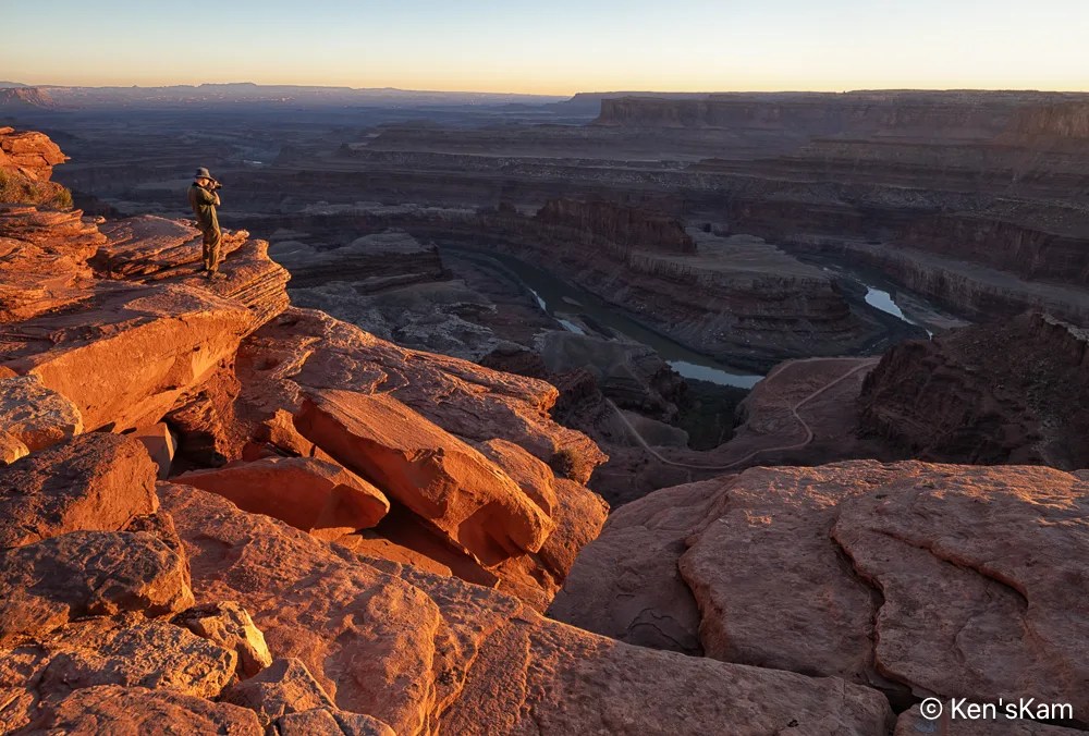
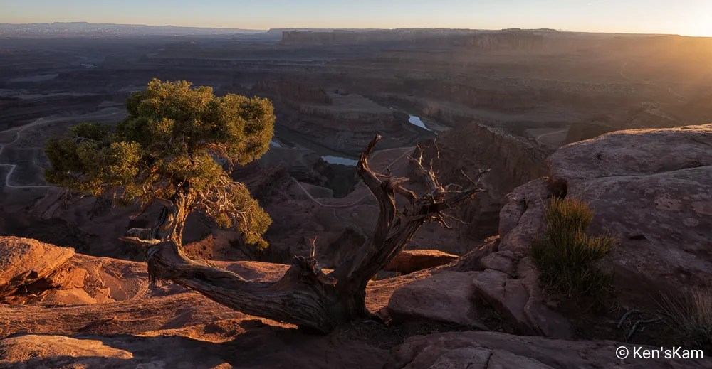
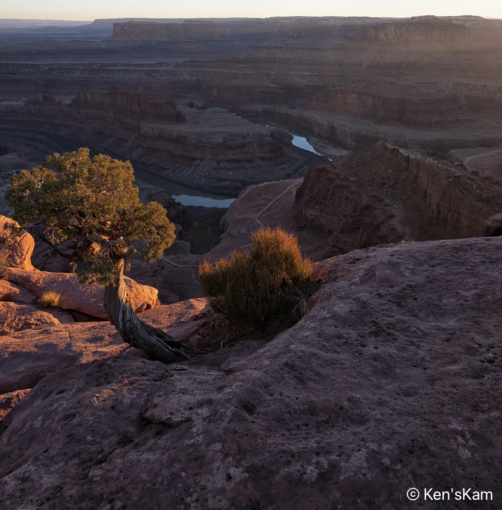
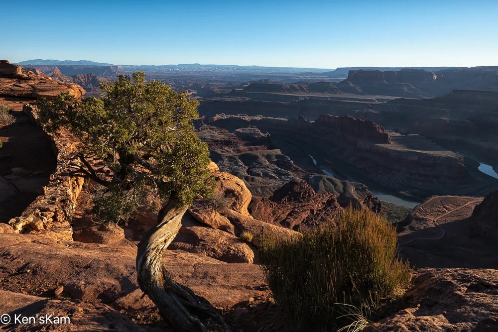
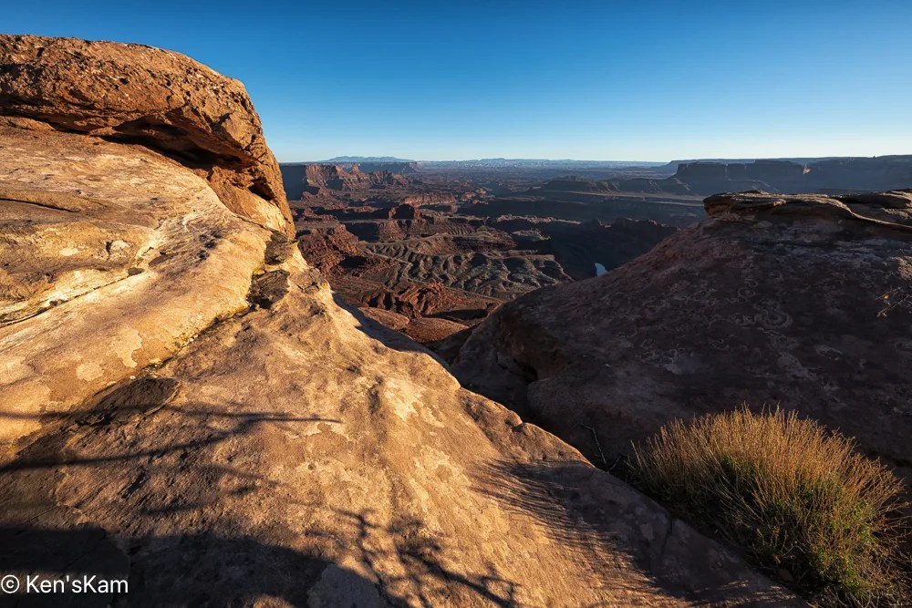
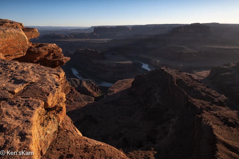
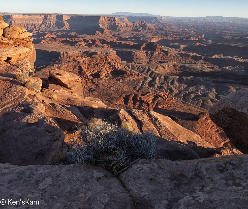
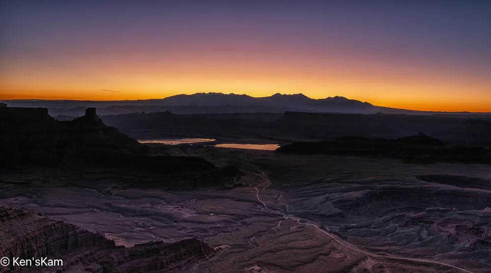
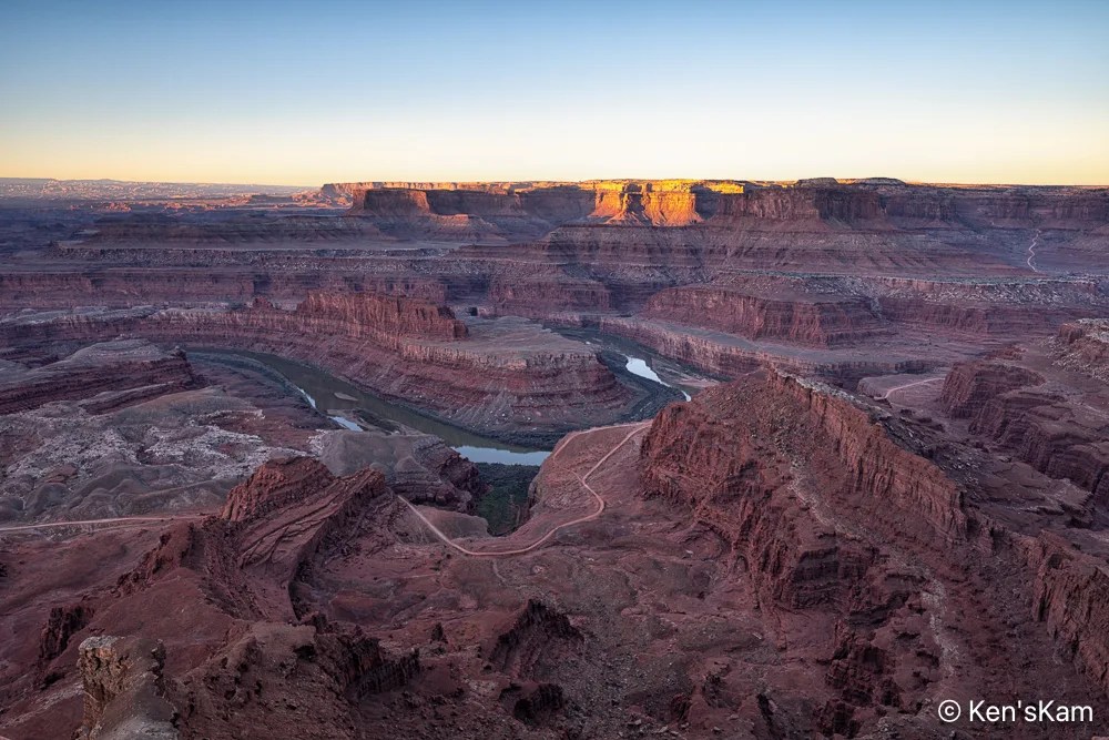
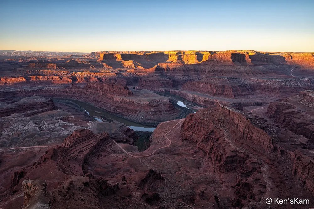
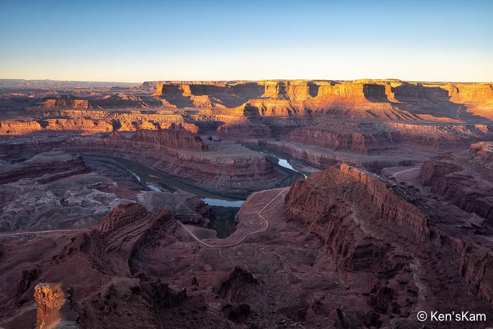
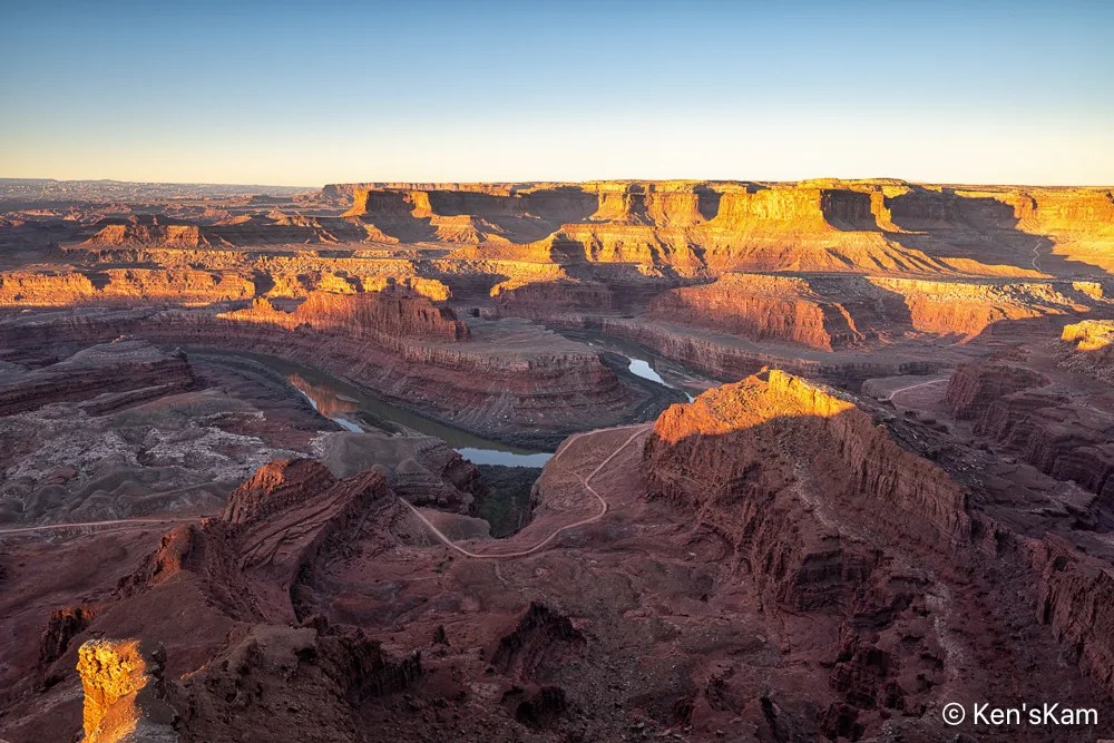
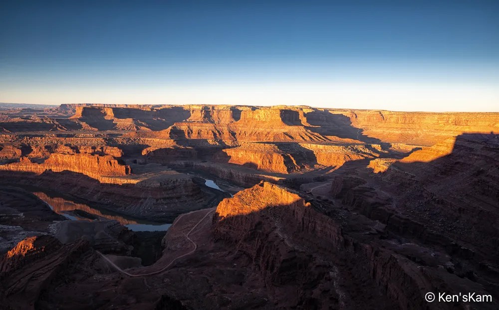
We went out early on day 2 at Dead Horse Point for sunrise photography.
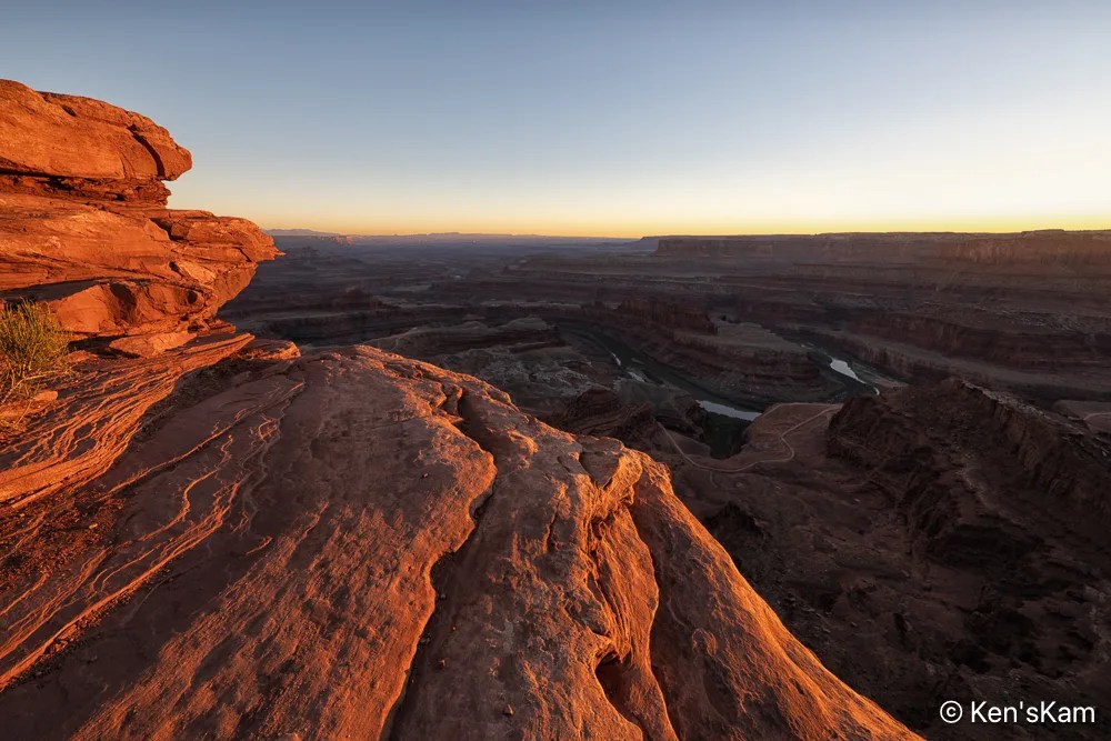
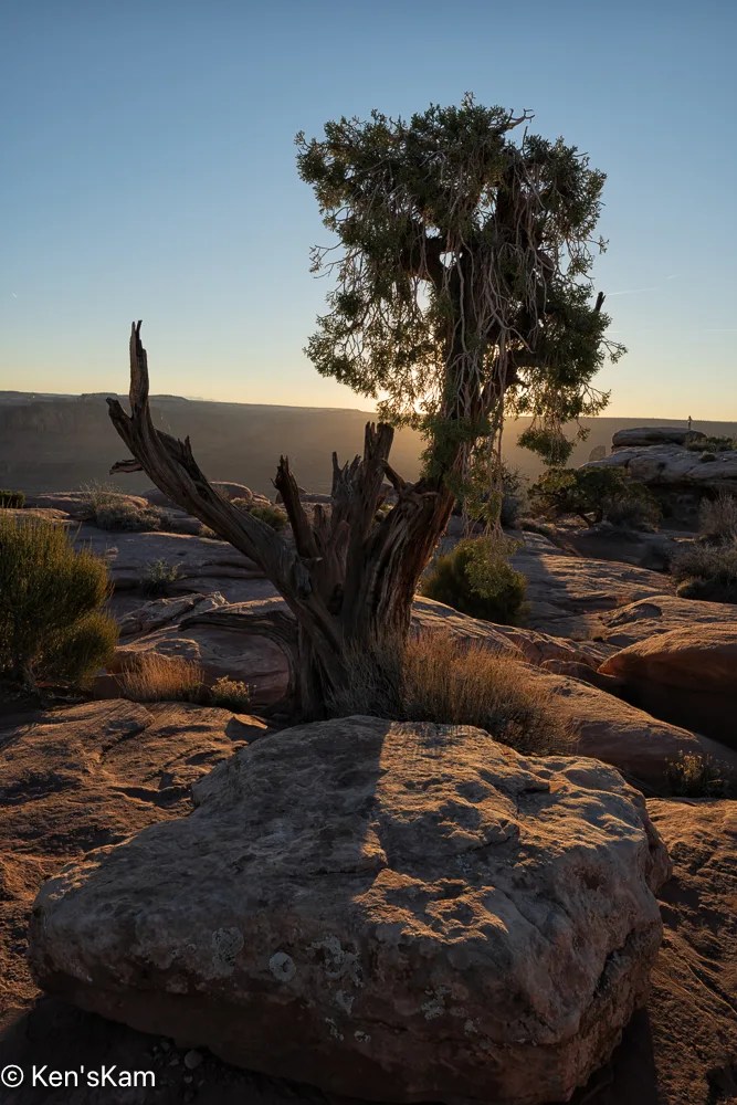
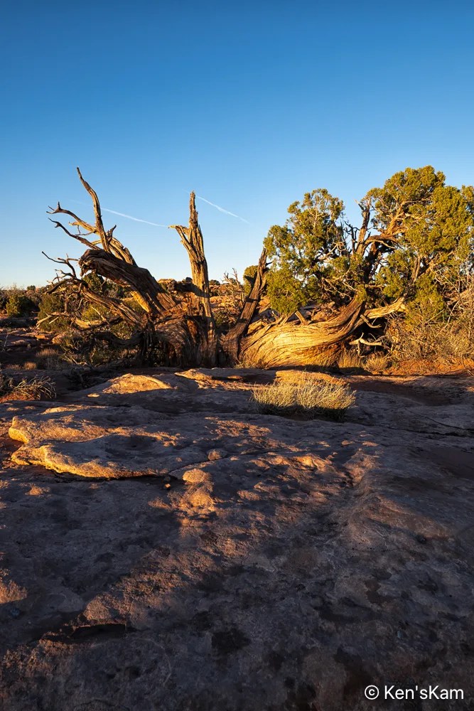
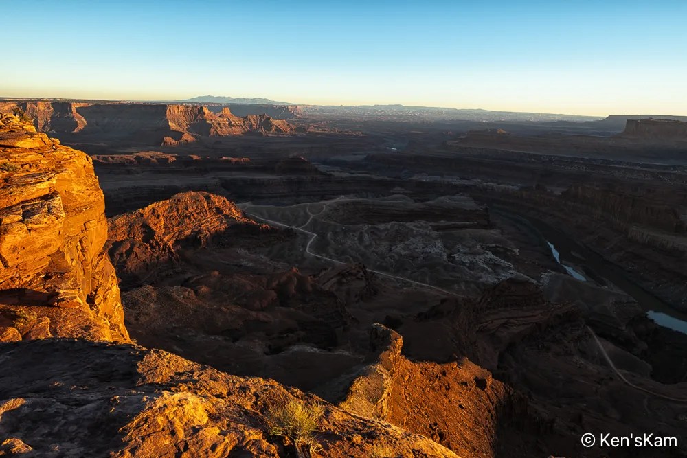
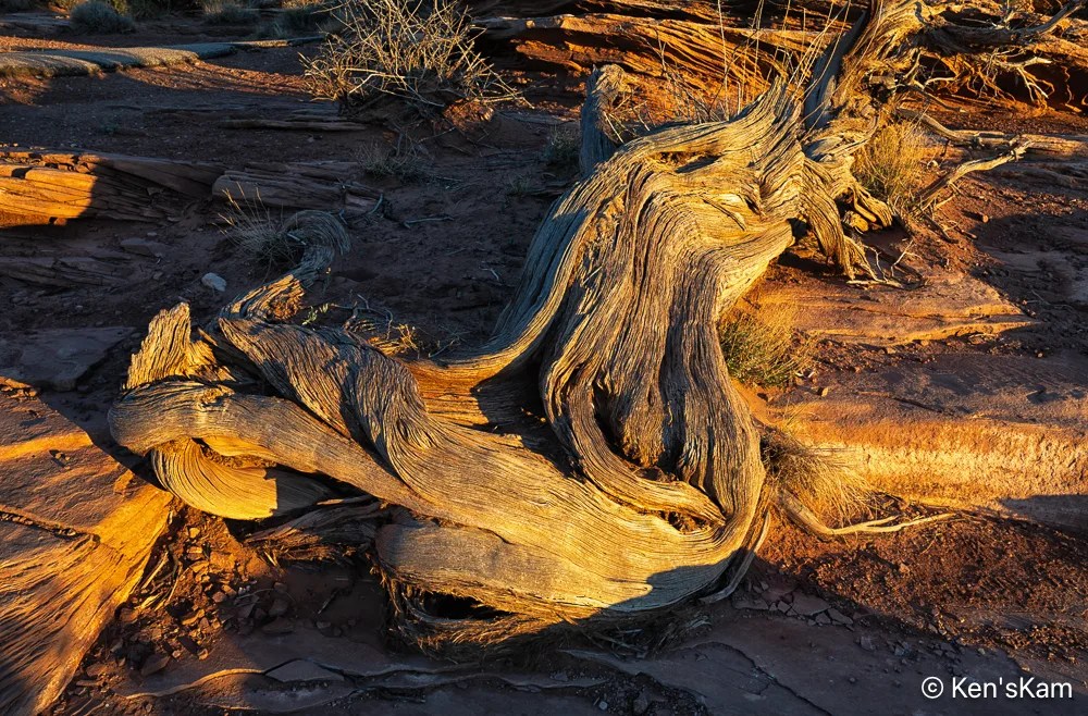
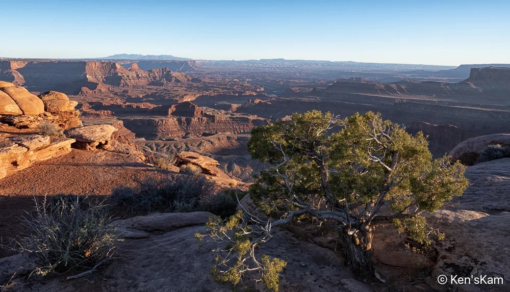
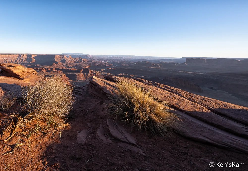
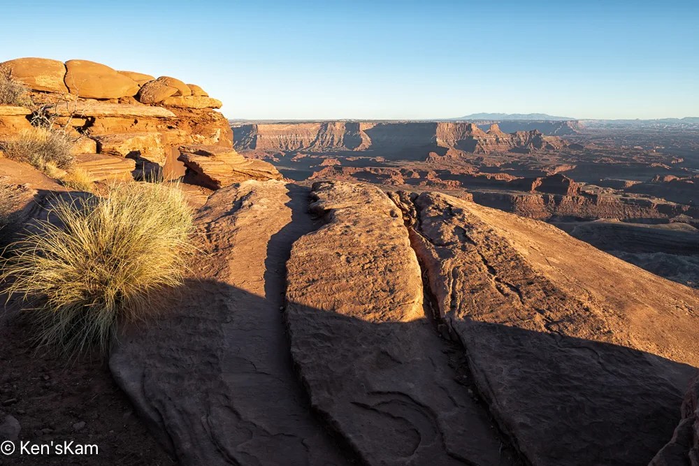
I set up my camera and watched the sunrise light as it moved across the wonderful and rugged landscape at Dead Horse Point, making a number of images for a sunrise sequence.