
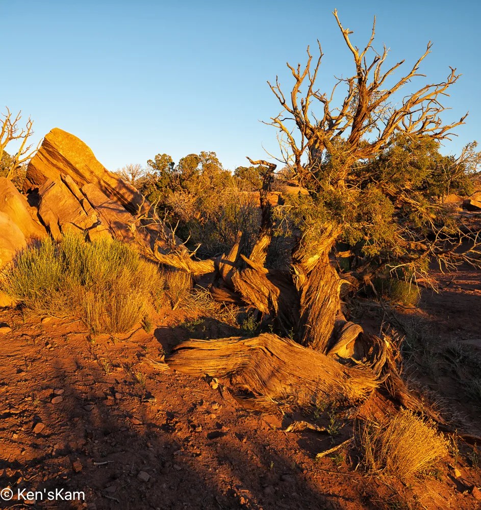
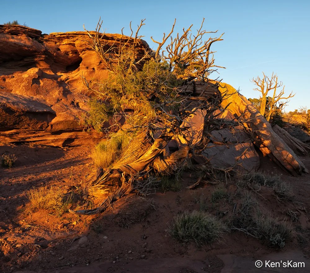
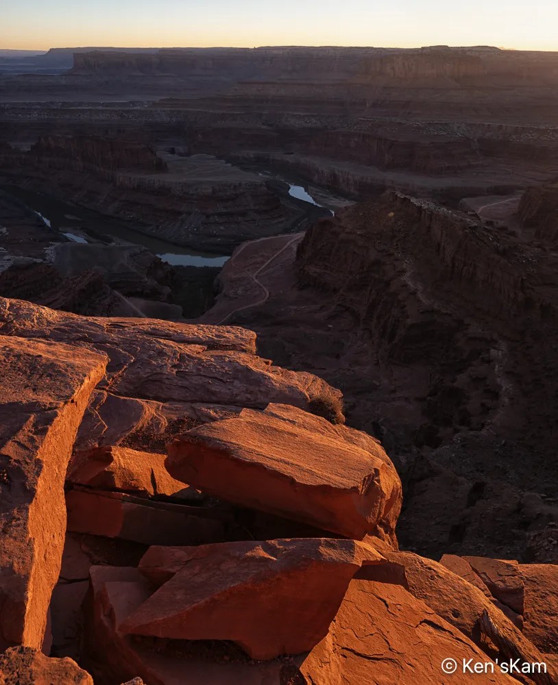
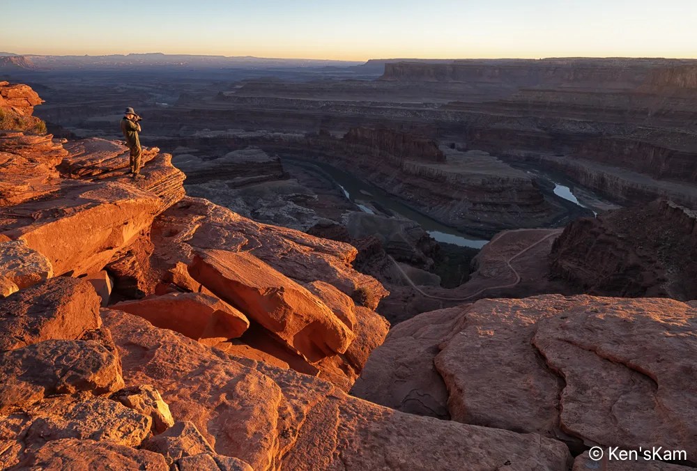
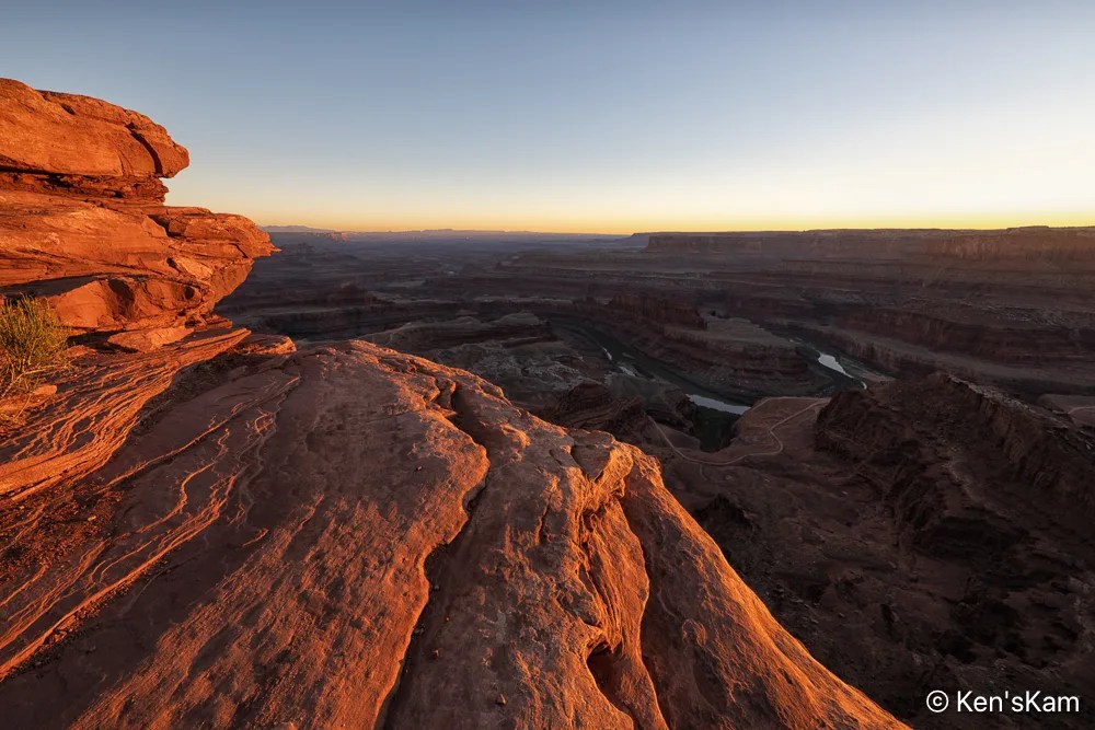
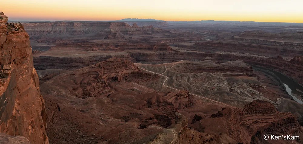
This is a continuation of sunset photography at Dead Horse Point SP, Utah.
This concludes the photography series from Utah in March of 2026.
Thanks for following,
Ken
This is a continuation of sunset photography at Dead Horse Point SP, Utah.
This concludes the photography series from Utah in March of 2026.
Thanks for following,
Ken
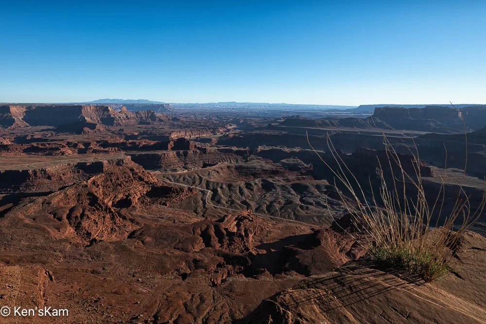
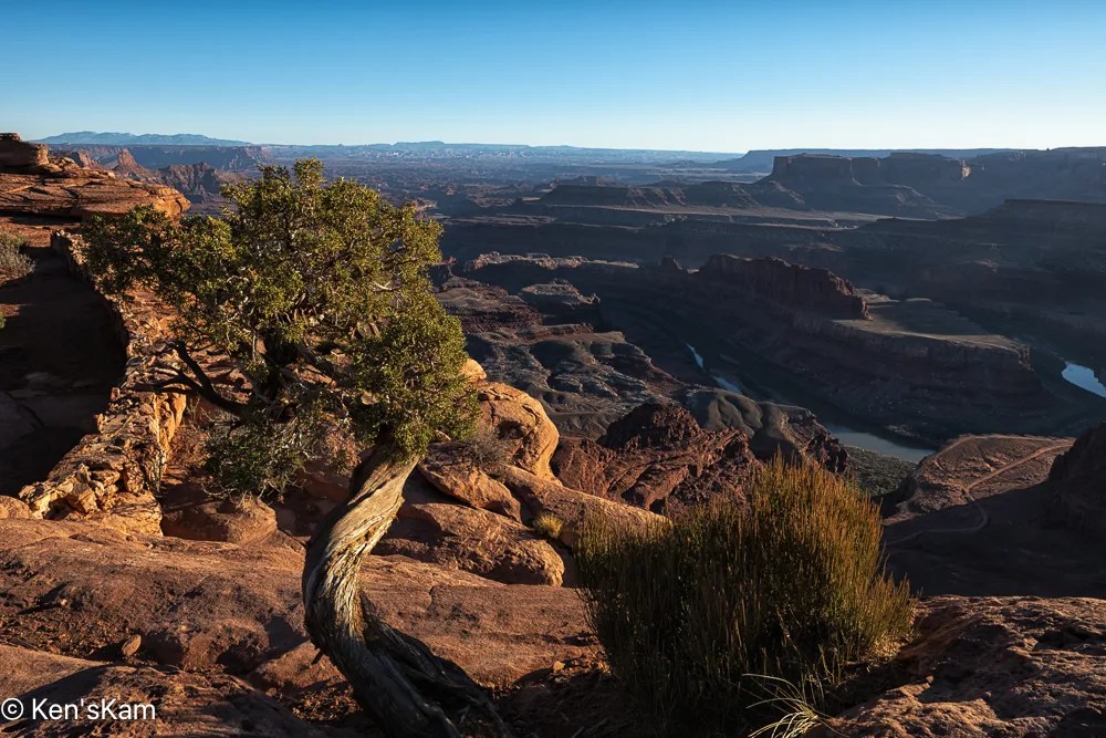
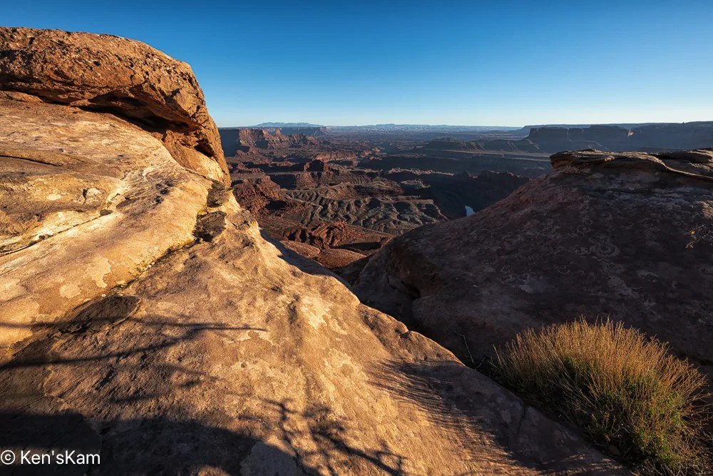
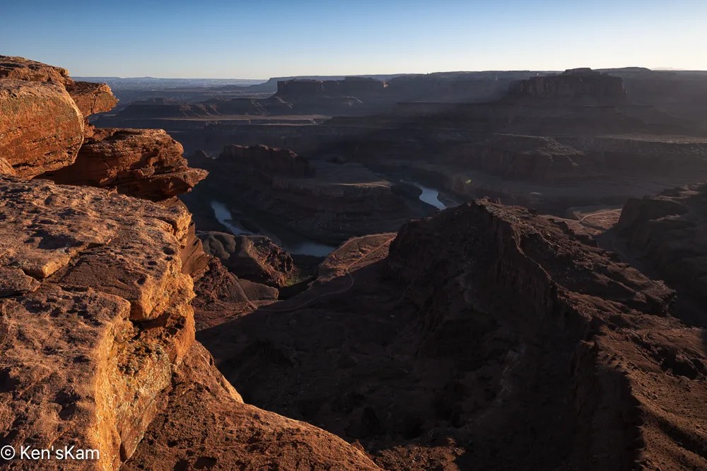
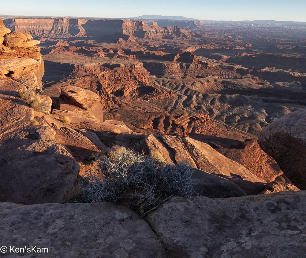
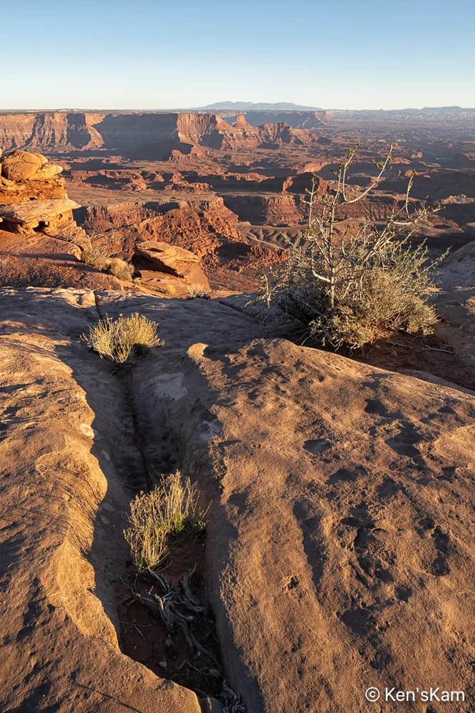
In an earlier post I revealed that I had gotten my posts out of chronological order. Now I’m stepping back a day to the evening prior to the overcast sky shoot at sunset at Dead Horse Point, Utah. The evening prior was much different.
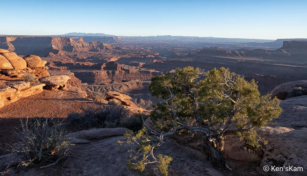
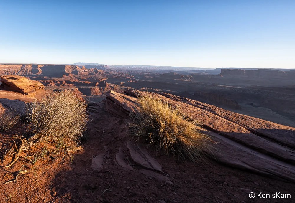
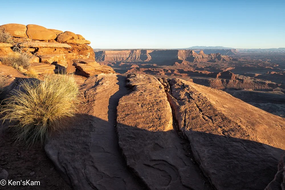
To be continued,
Ken
This is a continuation of photography at Dead Horse Point, Utah on an overcast evening in March, 2026.
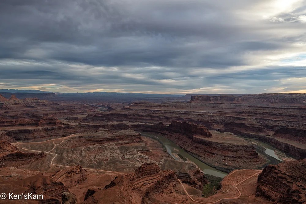
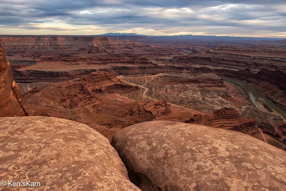
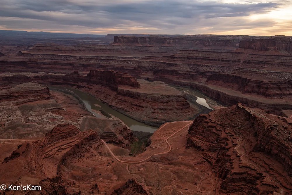
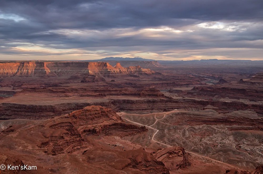
Ah, at last a little muted sunset light on those distant cliffs.
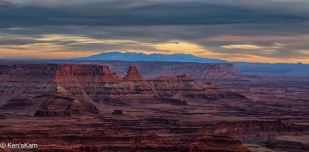
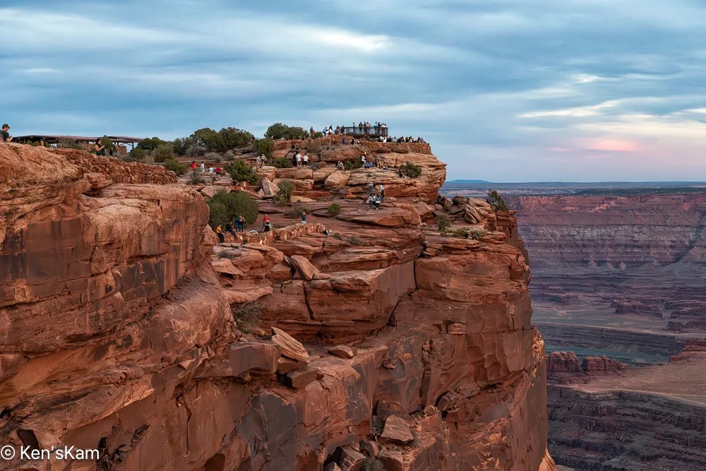
This final image shows that we were not alone at this popular view point.
Thanks for following,
Ken
Followers probably noted the winding road through the landscape as seen from Dead Horse Point in previously posted images. After shooting sunrise at Dead Horse Point, we traveled that road. This post contains a few of the photographys made along that road.

I think this road might be refered to by different names and I’ve mostly heard folks talk about this route as Shafer Trail, but my map shows this portion as Potash Road, to the best that I can decipher the map labels

This pond is a part of a potash production facility. Potash (potasium chloride) is disolved from underground rock with water pumped from the Colorado River and put into evaporation ponds. Blue dye is added to the water to increase solar energy absorption that heats the water speeding up the evaporation process. These ponds can be seen from the Dead Horse Point overlook and are in some of my photos made at that overlook.


I always stand in awe of the natural power of water, wind, weather and time to carve such amazing landscapes.

The road we traveled changes its name to Shafer Trail somewhere along the route, I think at the point where it enters Canyonland National Park. This photo was made at an overlook near where Shafer Trail exits onto a paved road near Canyonlands NP Visitors Center.

Late in the day, we returned to Dead Horse Point for sunset photography. Stay tuned for more,
Ken
I try to keep my blogs in chronological order and use images in my blogs with links to my photos posted to Flickr, but sometimes I slip up. A few days ago, I realized that somehow I had skipped editing sunset photos made the first day we were at Dead Horse Point, Utah and I had begun to post photos to Flickr from the second evening at Dead Horse Point. So I’m going to violate my chronological order for at least portions of these two days of shooting, posting images from day 2 ahead of day 1.
We went out early on day 2 at Dead Horse Point for sunrise photography.
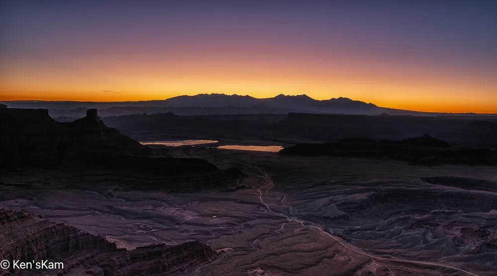

I set up my camera and watched the sunrise light as it moved across the wonderful and rugged landscape at Dead Horse Point, making a number of images for a sunrise sequence.
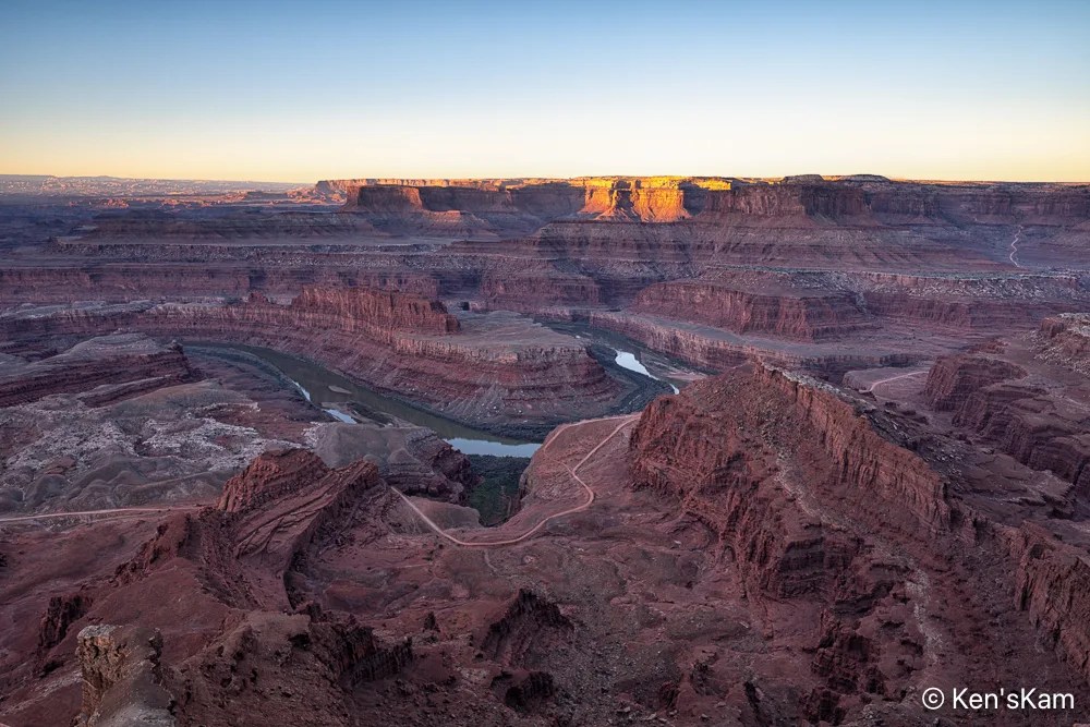
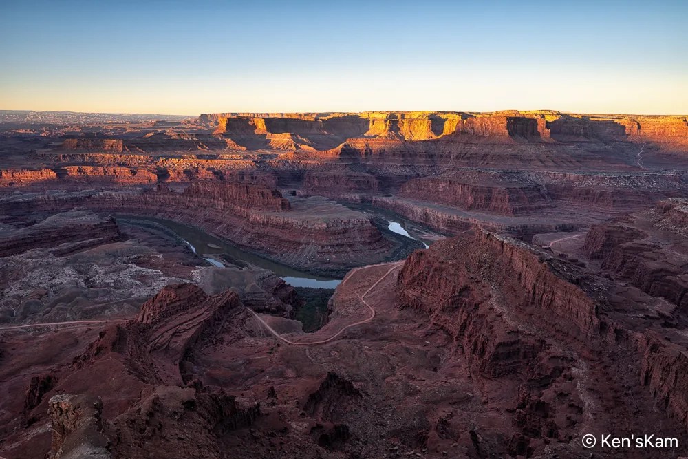
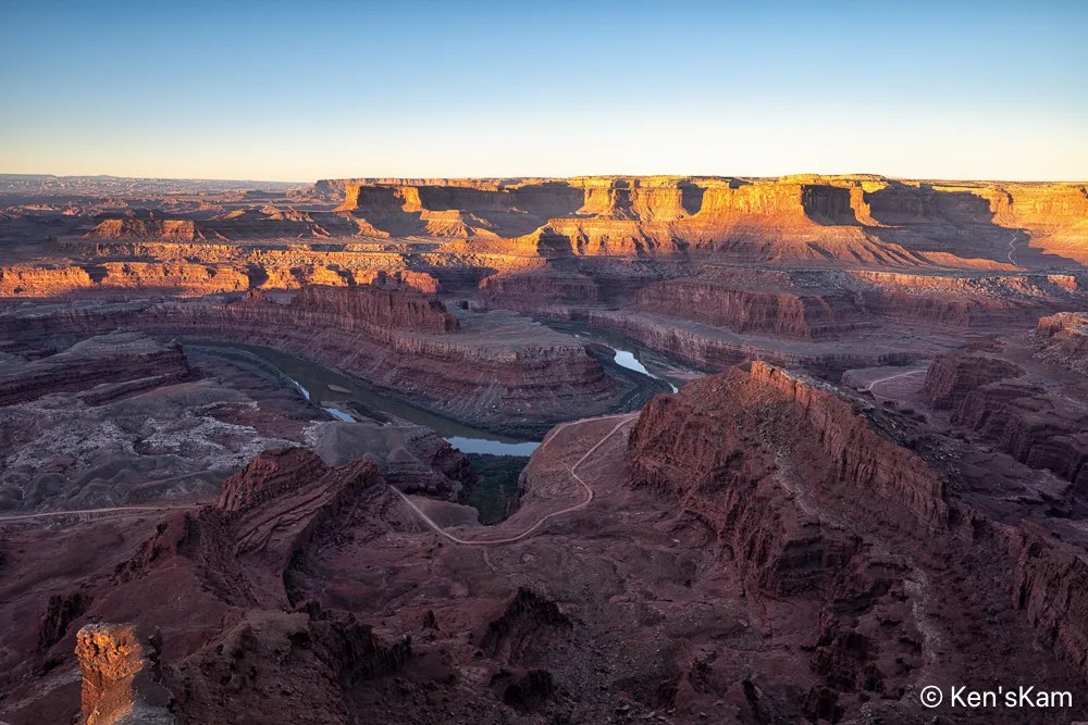
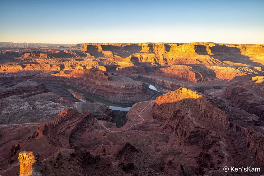

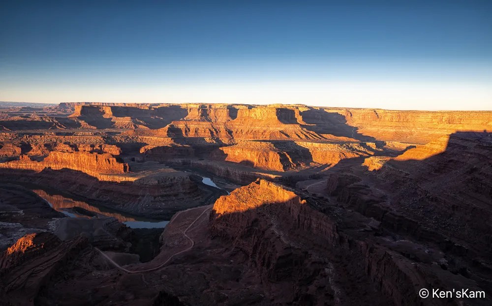
Note that I zoomed in a little for #8 to get a better view of the reflections in the Colorado River.
Thanks for following and stay tuned for more photos from this area of geological wonders.
Ken