
This is a continuation of 2025 fall photography in Indiana.


Thanks for following,
Ken
This is a continuation of 2025 fall photography in Indiana.
Thanks for following,
Ken
More 2025 fall photogrphy in Indiana.


Thanks for following and more fall photos to come,
Ken
More 2025 fall photography in Indiana.


Thanks for following and stay tuned for more 2025 fall photos,
Ken
Indiana Fall Photography 2025.


Thanks for following and there are more fall photos to come,
Ken
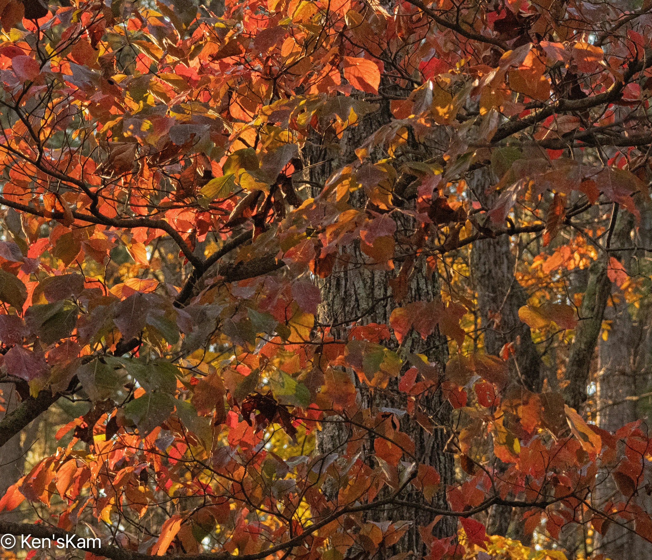
Fall photography in Indiana 2025.

Returning from one of my morning shoots, I made a wrong turn on my way back to the cabin and accidentally found another great place to shoot fall color along an Indiana backroad. I returned to this backroad later for a morning shoot.


Stay tuned for more Indiana Fall Photos,
Ken
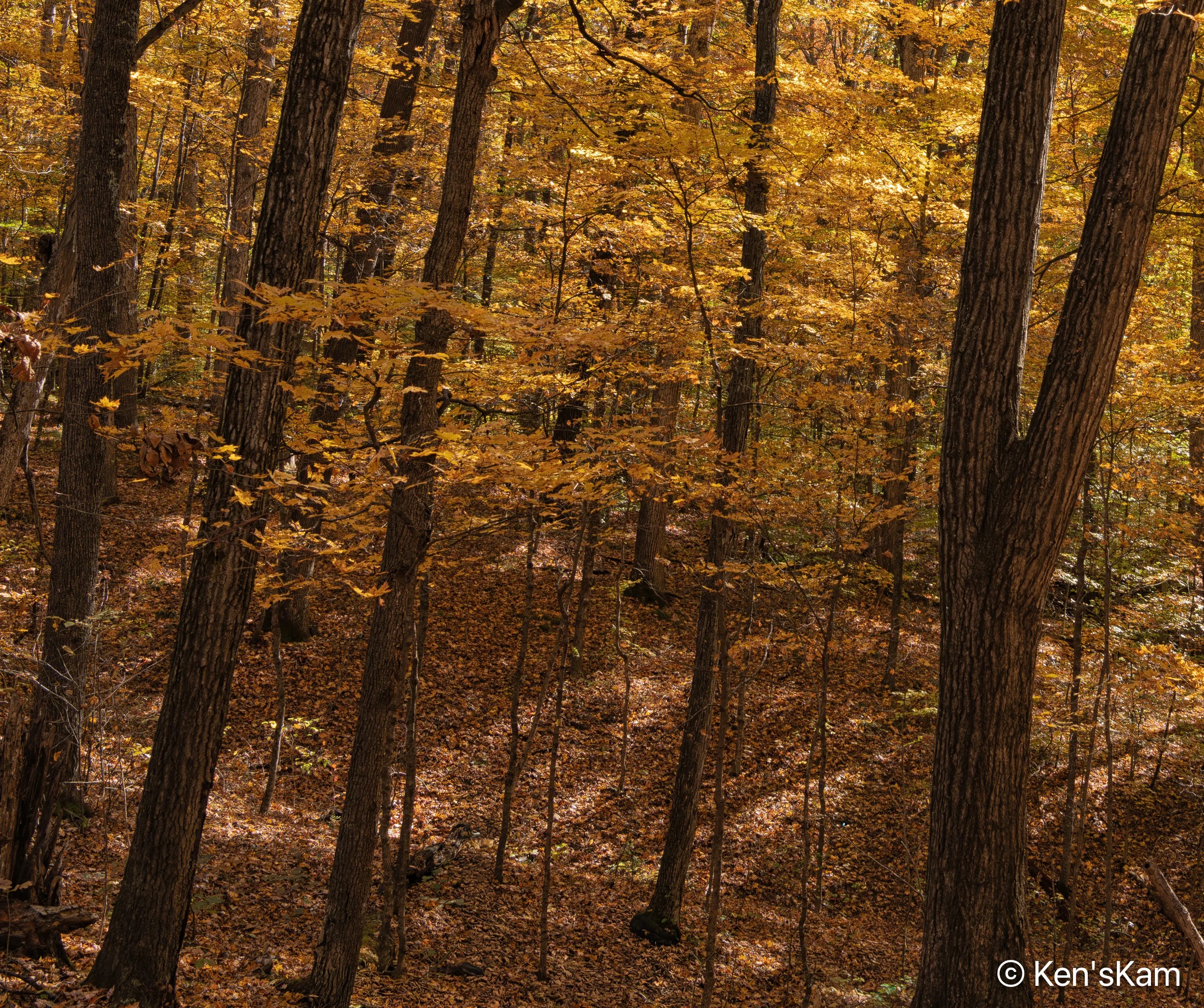
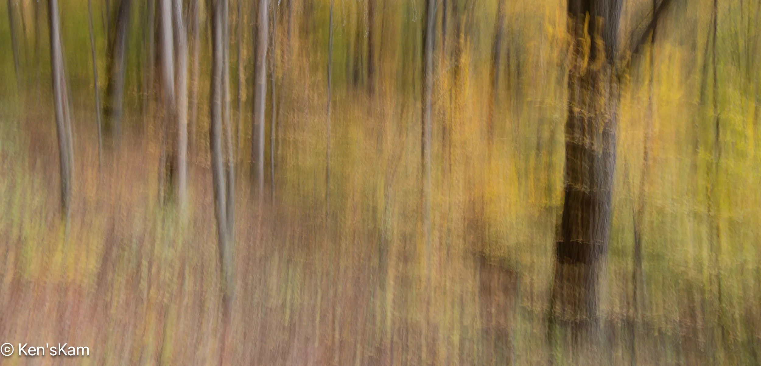
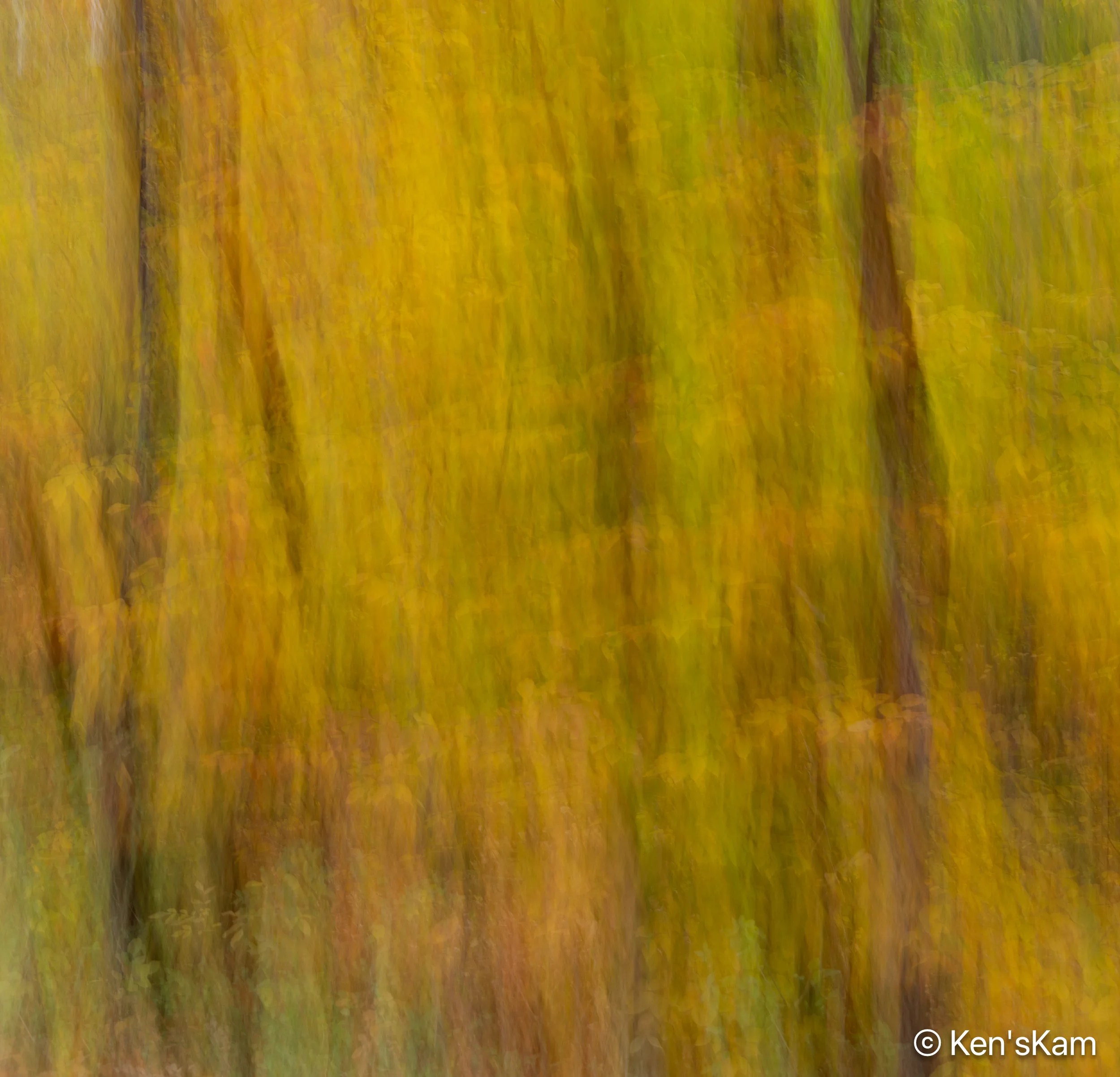
Another year and another fall in Indiana. This year was much different than the previous few. Drought and a warm fall resulted in sporadic color change in the local trees and forests.
It was just after mid-October, when we arrived in Indiana, a time when the local forest fall foliage would normally be highly apparent. This year many trees were still fully green, a few had already changed almost completely and other were just exhibiting the seasonal change in color.
The “peak”, if it can be called that this year, came the first week in November and it was muted, compared to a “normal” year. I’m afraid this will become the “normal” in the future as climate change, which is not a “hoax”, continues its rapid advance.


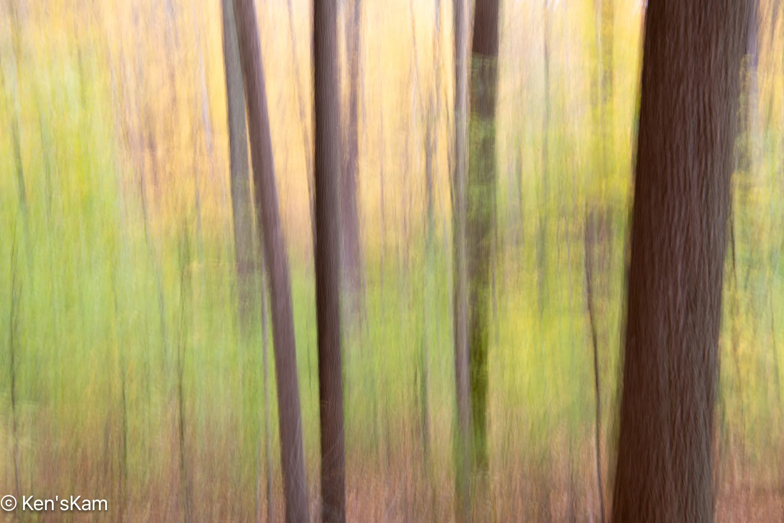
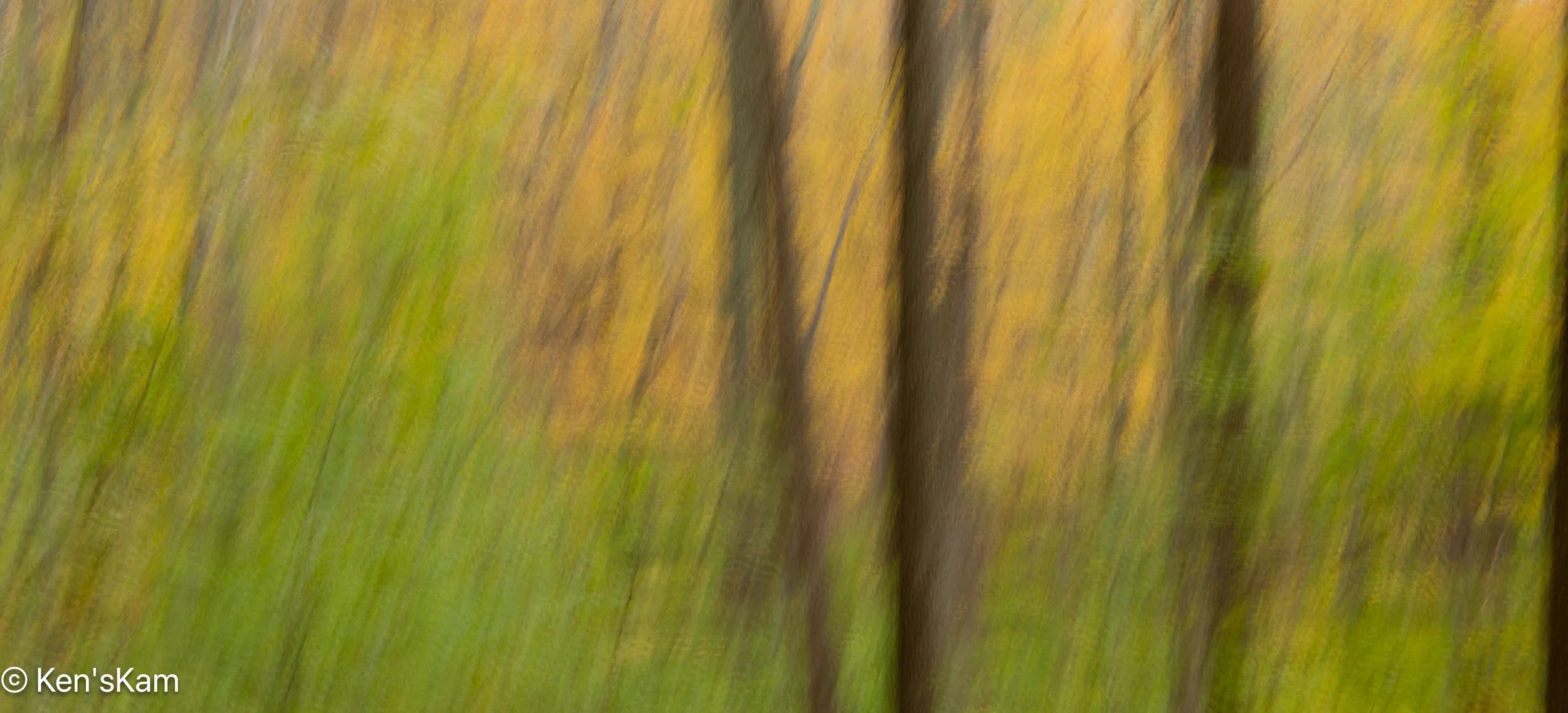
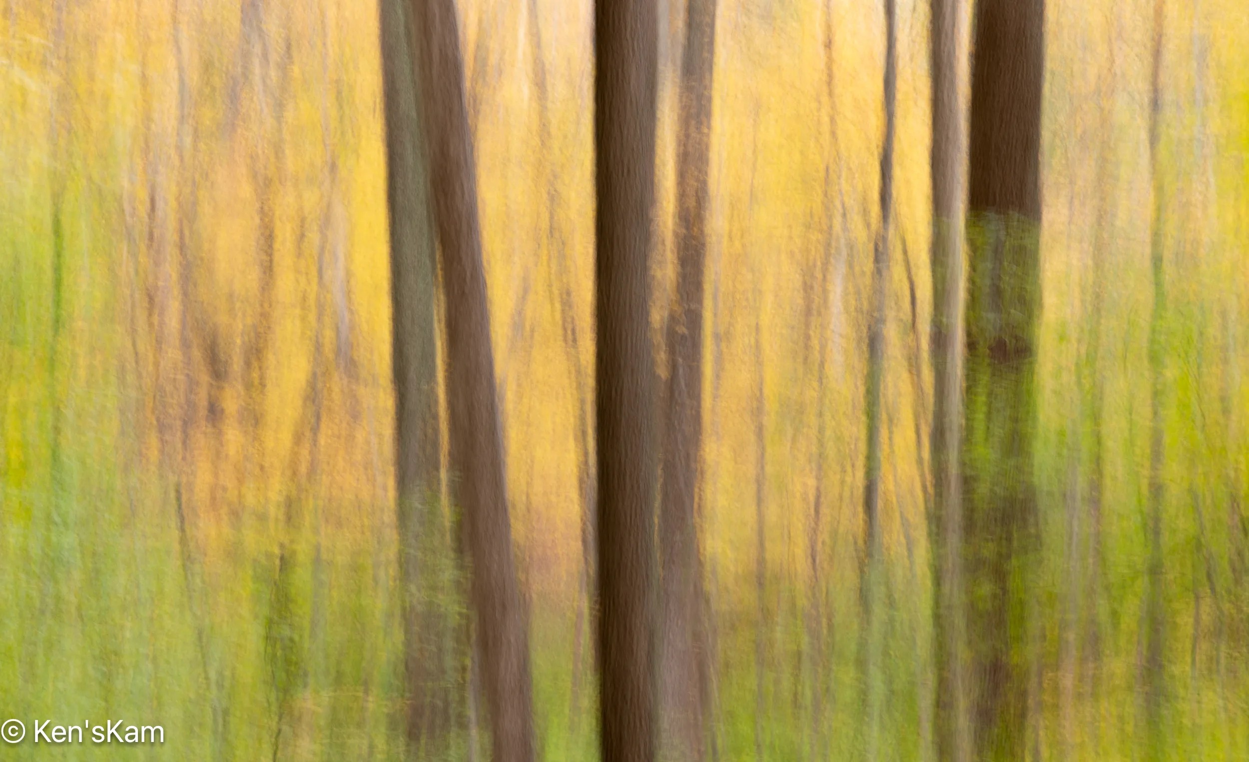
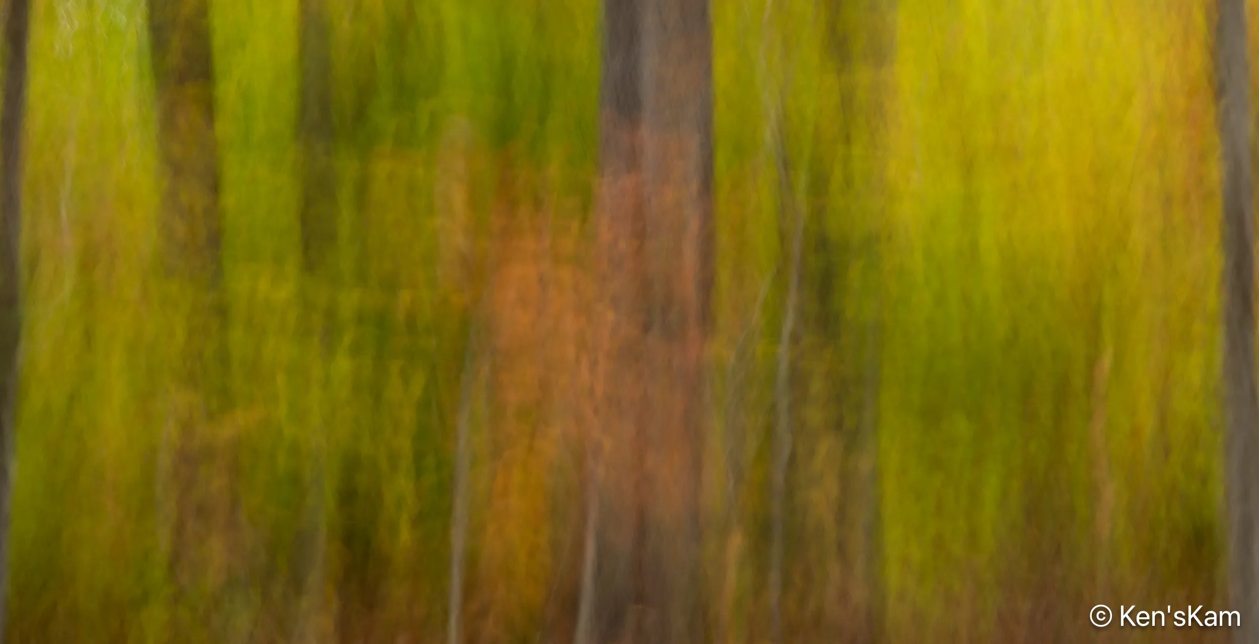
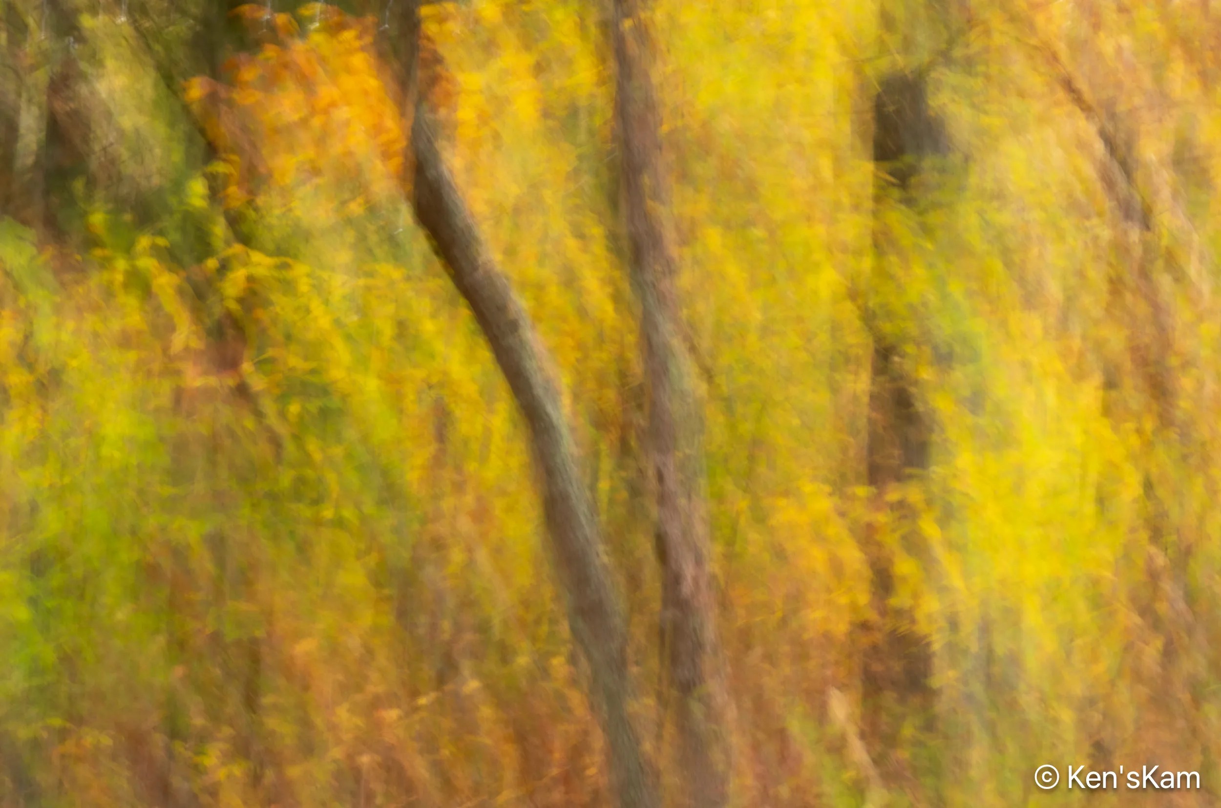
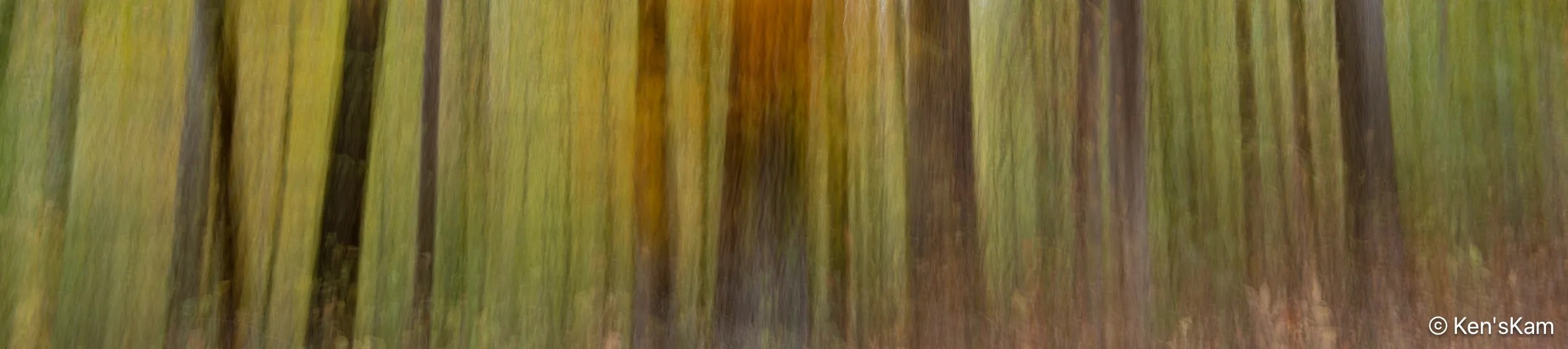
For these ICM (Intentional Camera Movement) abstract images in a forest, one can include the sky or exclude it. I find that I prefer those images with the sky limited or excluded, which usually requires cropping the image in post processing.

The direction of the light is also a factor in these image. Side light produces alternating light and dark patterns across the image, which I tend to prefer.


Stay tuned for more fall impressions,
Ken
Just before sunset time, I went to my pre-chosen location for sunset photography in Badlands National Park. It was heavily overcast and the prospects for golden hour light on the geological features in the park did not look promising.
Nevertheless, I made a few images prior to sunset time, hoping to maybe duplicate some compositions at golden hour.


At least the sky was dramatic, but the golden hour light never came.
Until next time,
Ken
This is a continuation of multiple shoots in an area of Southern Utah known as ‘White Rocks’.

This first image on the Flickr Explore page.


To be continued,
Ken
We returned to the area refered to as White Rocks in Southern Utah for an early morning shoot. I switched from the Nikon D850 and 24-70mm lens to the Nikon Z8 and Nikon Z14-24mm for this shoot.


To be continued,
Ken
This is a continuation of hiking and photography in Wire Pass and Buckskin Gulch slot canyons in Southern Utah in March 2025.
Upon exiting Wire Pass Slot Canyon, we turned right, proceeding into Buckskin Gulch.

The numerous rocks strewn over the canyon floor in Buckskin Gulch give evidence of the violence of currents that periodically rage through this canyon.

The sky and canyon walls are reflected in this muddy puddle, including the upper portion of the wall with the glow of midmorning light. We were able to pass this puddle by using the rocks on the left as stepping stones, then making a big step to the right onto a large boulder at the far end of the puddle.

More pebbles and boulder in the pathway. This seems typical of Buckskin Gulch. Evidently, more water flows through this canyon than through Wire Pass.

The next puddle we came to was deeper and had no convenient stepping stones in it to facilitate passing without wading in the very cold water. This was an obvious turn around point for us, as we were not prepared to wade through the cold water. A small tour group turned around here, too; but one intrepid old fellow stripped down to his underwear and waded through. He moaned and groaned all the way through, then again as he apparently had to repeat the process at another puddle that we could not see around the bend here.

I made a number of images at this turn around puddle to capture the details in the canyon wall, the red, golden glow ahead and the reflections in the puddle.

It was a bit more awkward making that first step back across this first puddle, because of the location of the first boulder on the far side. I had to think about how to approach that first step, since a poor choice of step would put me into the cold water and maybe an unplanned cold bath. Once back on this side, I turned to get a parting shot with more of the canyon walls in this one. The dynamic range of light in these canyons creates a challenge getting a good exposure, so I bracketed several shots with different exposure settings, then combined those images into this one High Dynamic Range processed image.

After our shortened hike into Buckskin Gulch to the south of the Wire Pass exit, we hiked into the northern portion, which tends to be wider than the part to the south.

We soon came to another big, muddy puddle, at which we elected to turn around. Footprints in the mud attest to others wading on through the cold water. There was not as much water in this canyon the first time we visited here years ago and we were able to easily hike further into each of these portions back then.
After turning around here, we went back through Wire Pass, returning to the parking lot and then back to our campsite to plan the rest of the day.
Until next time,
Ken