
This is a continuation of 2025 fall photography in Indiana.


Thanks for following,
Ken
This is a continuation of 2025 fall photography in Indiana.
Thanks for following,
Ken
This is a continuation of 2025 fall photography in Indiana.


Thanks for following, (and, yes, there will be more fall photos),
Ken
More 2025 fall photogrphy in Indiana.


Thanks for following and more fall photos to come,
Ken
More 2025 fall photography in Indiana.


Thanks for following and stay tuned for more 2025 fall photos,
Ken
Indiana Fall Photography 2025.


Thanks for following and stay tuned for more Indiana Fall,
Ken
Indiana Fall Photography 2025.


Thanks for following and there are more fall photos to come,
Ken
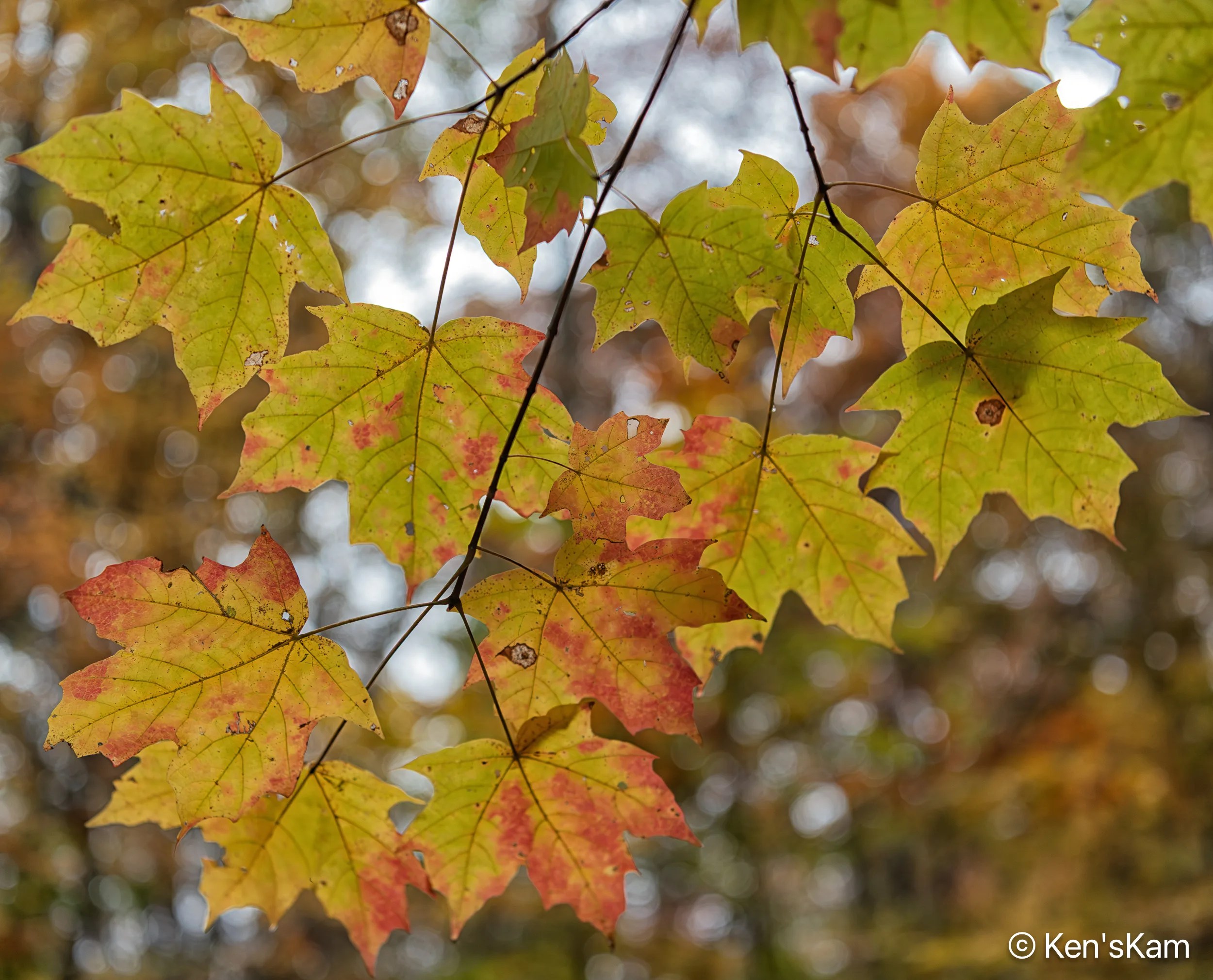
Fall photography in Indiana 2025.

Returning from one of my morning shoots, I made a wrong turn on my way back to the cabin and accidentally found another great place to shoot fall color along an Indiana backroad. I returned to this backroad later for a morning shoot.


Stay tuned for more Indiana Fall Photos,
Ken
More 2025 fall photos from Indiana.


More 2025 Indiana Fall photos to come,
Ken
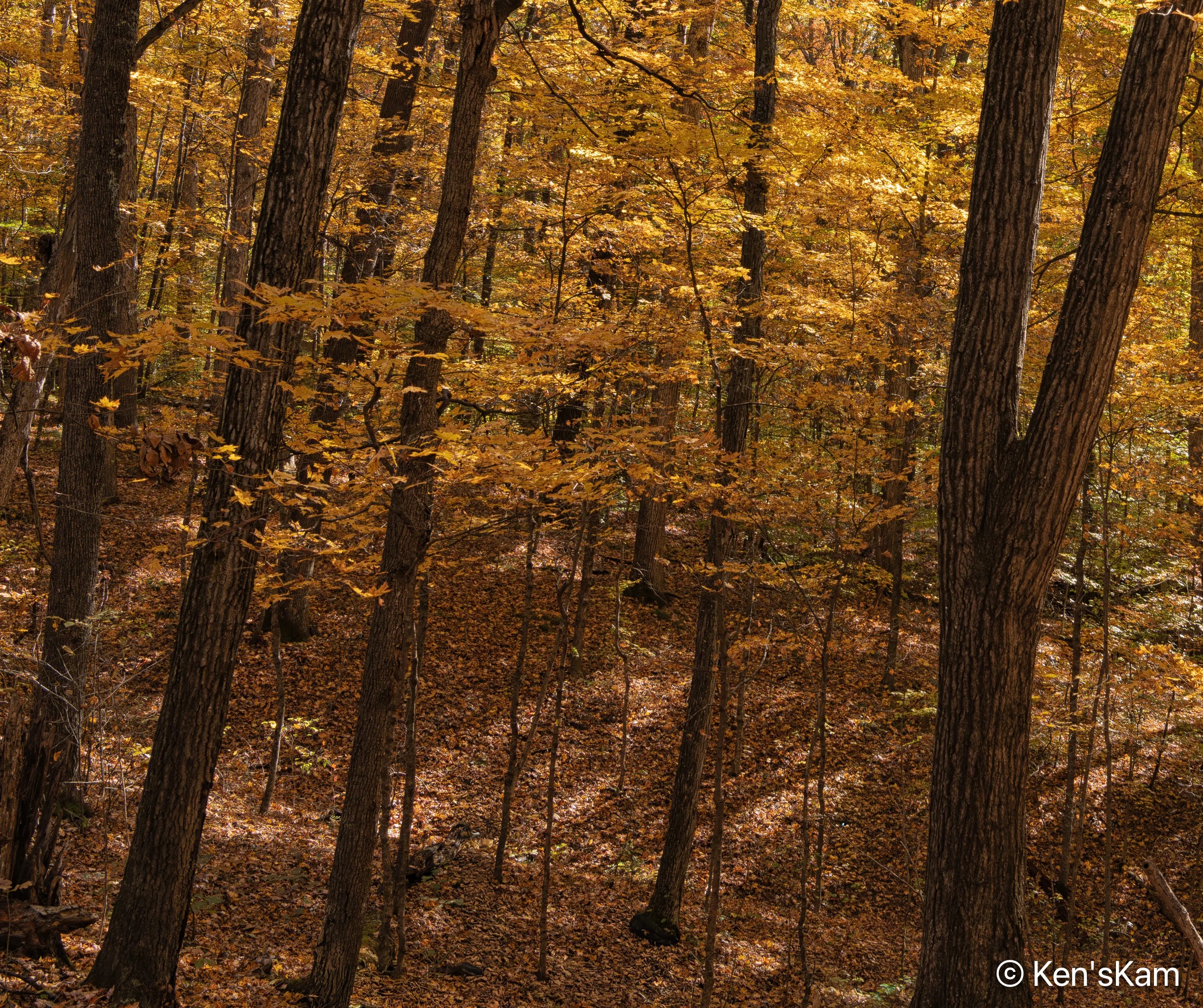
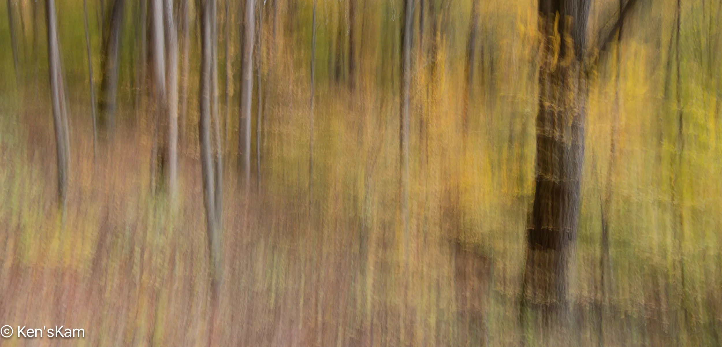
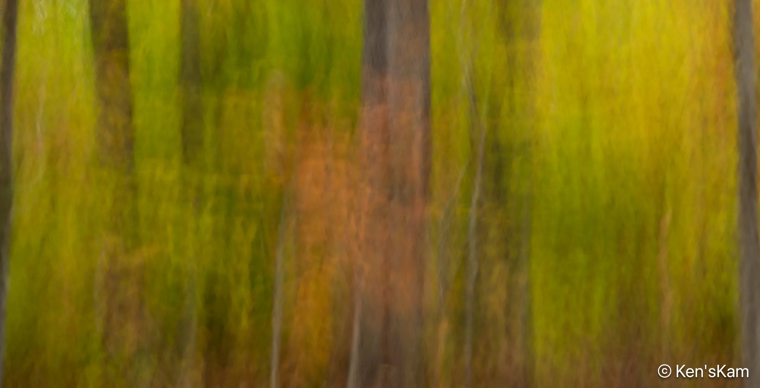
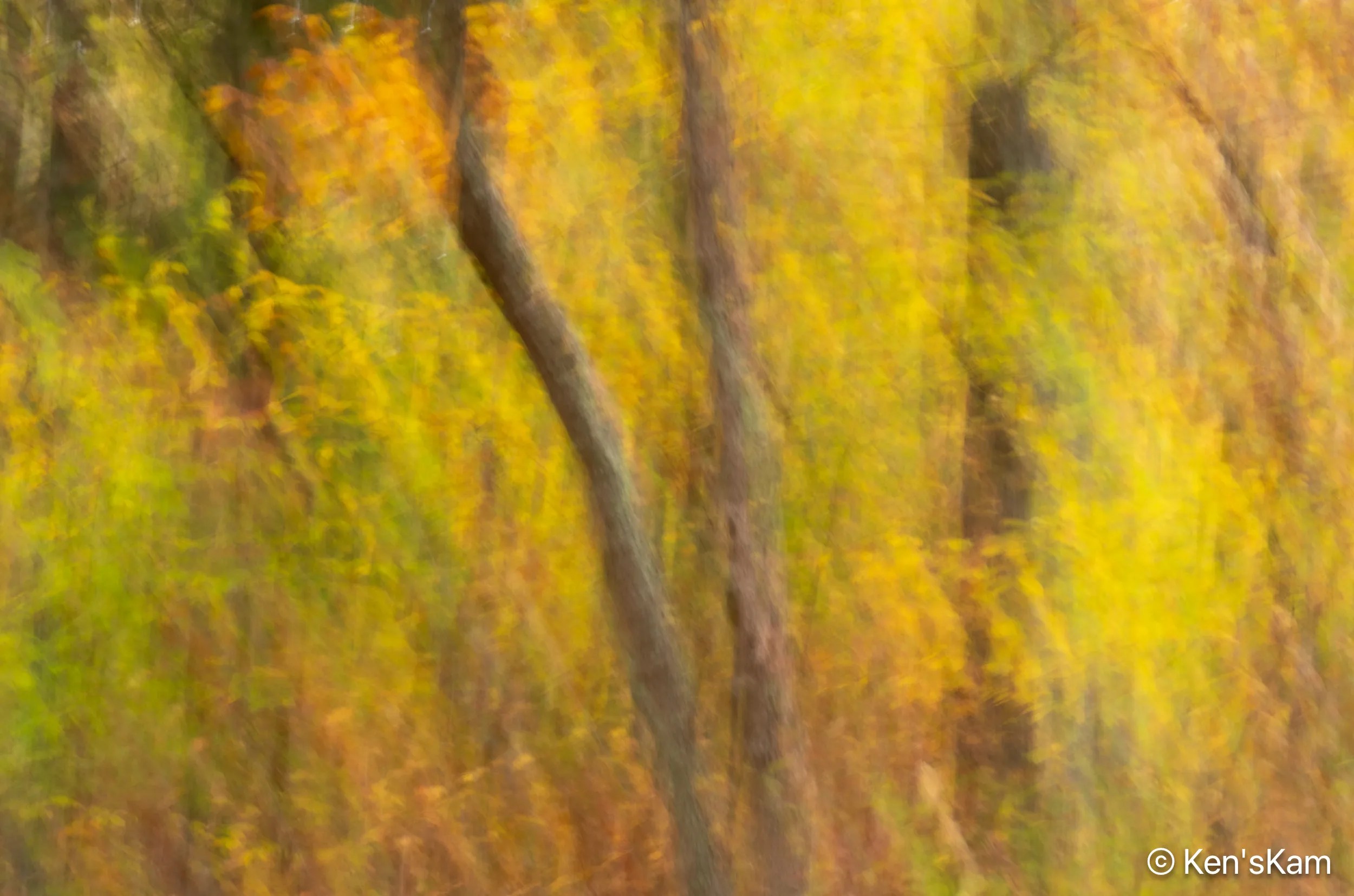
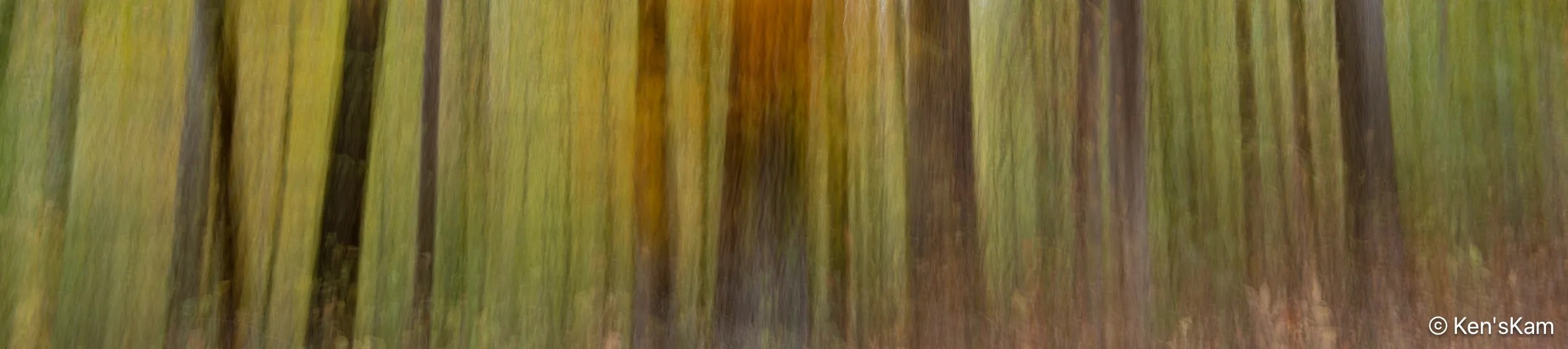
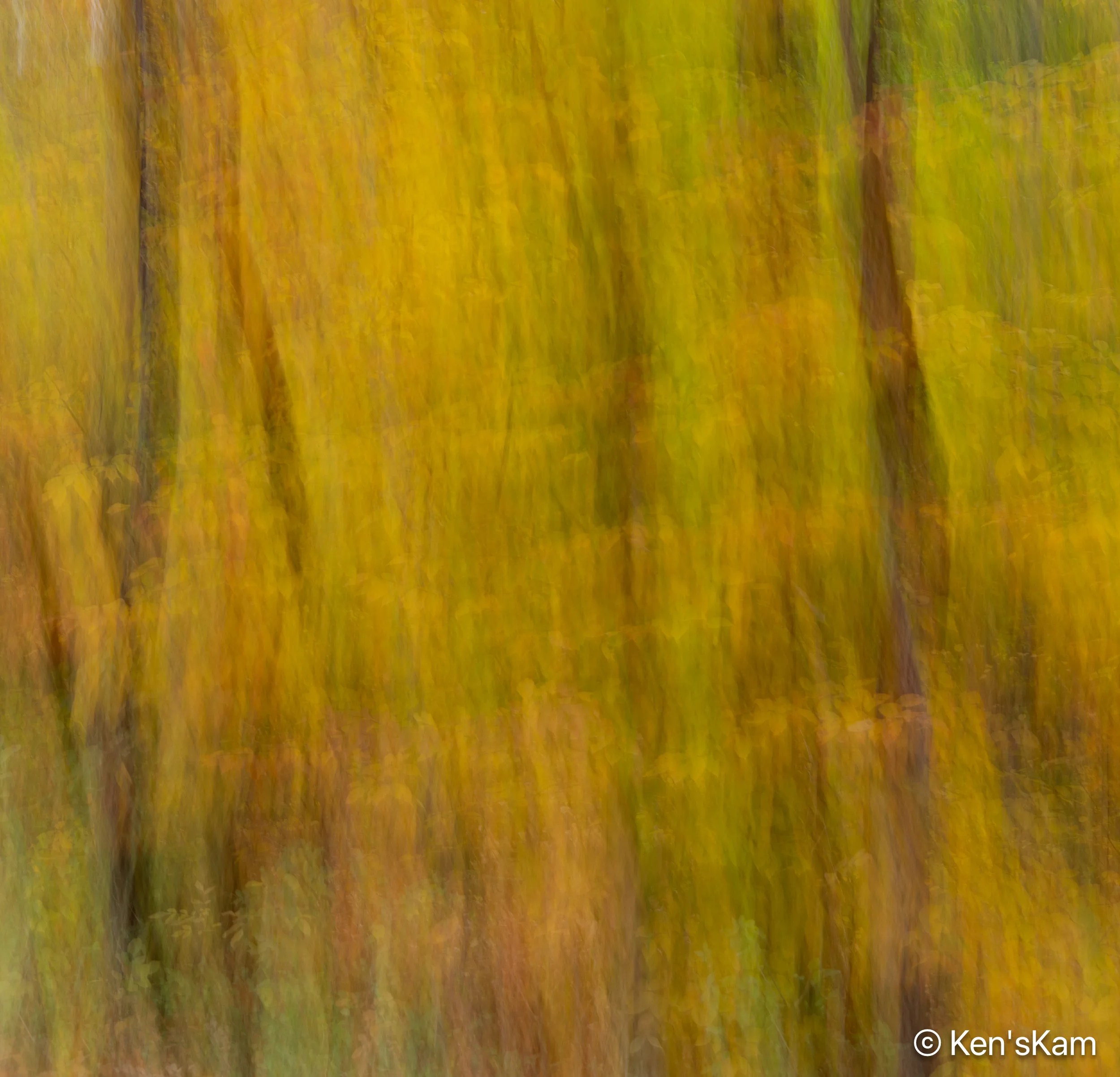
Photos from hiking in an Indiana fall forest.


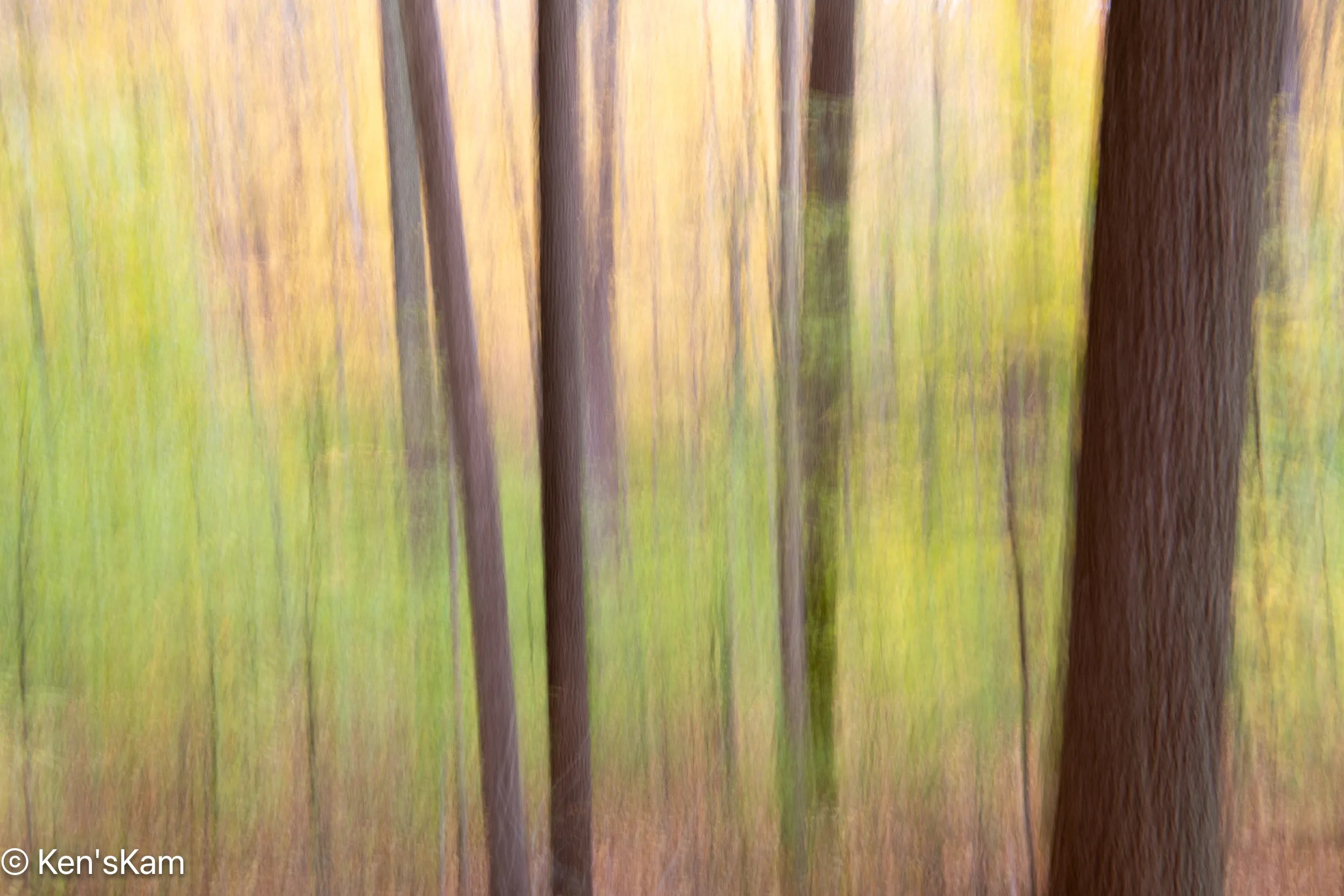
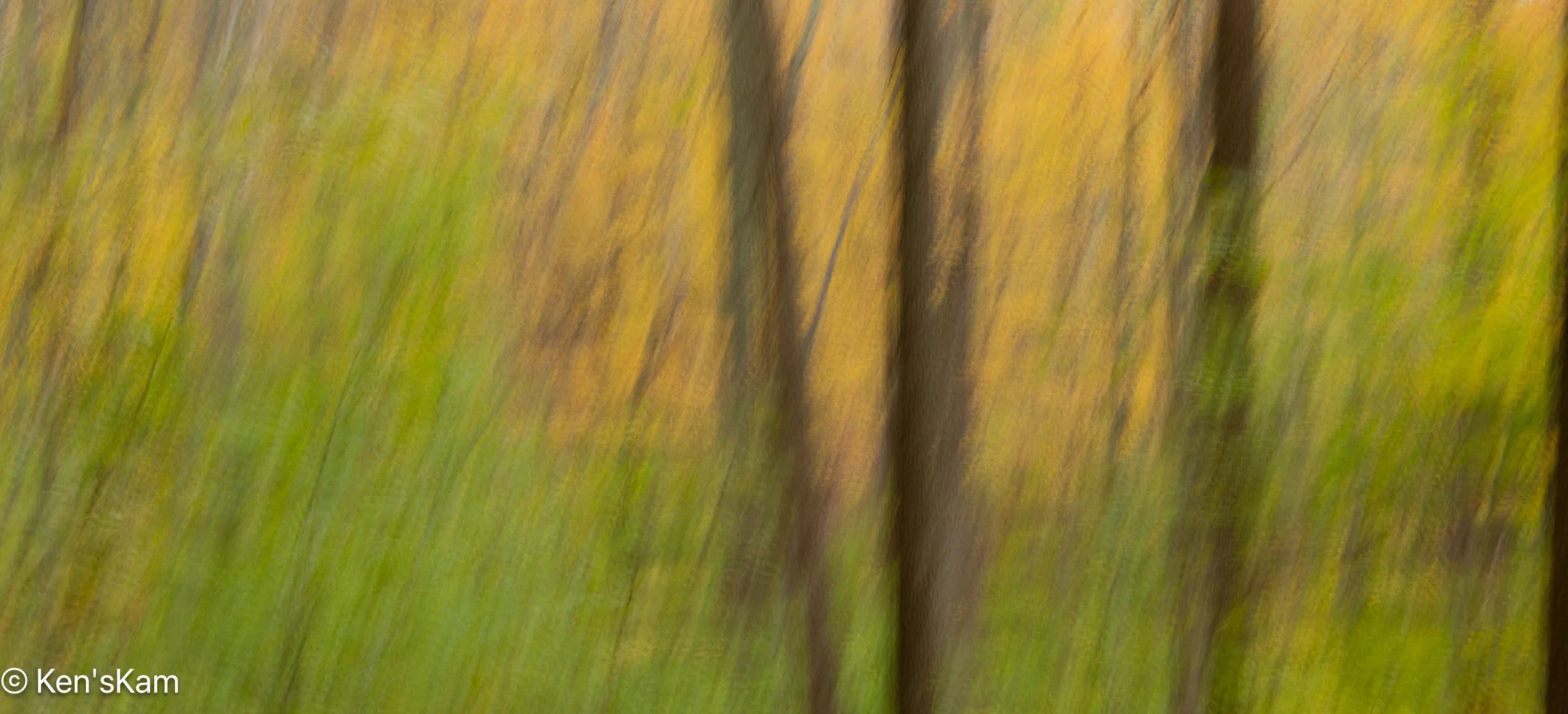
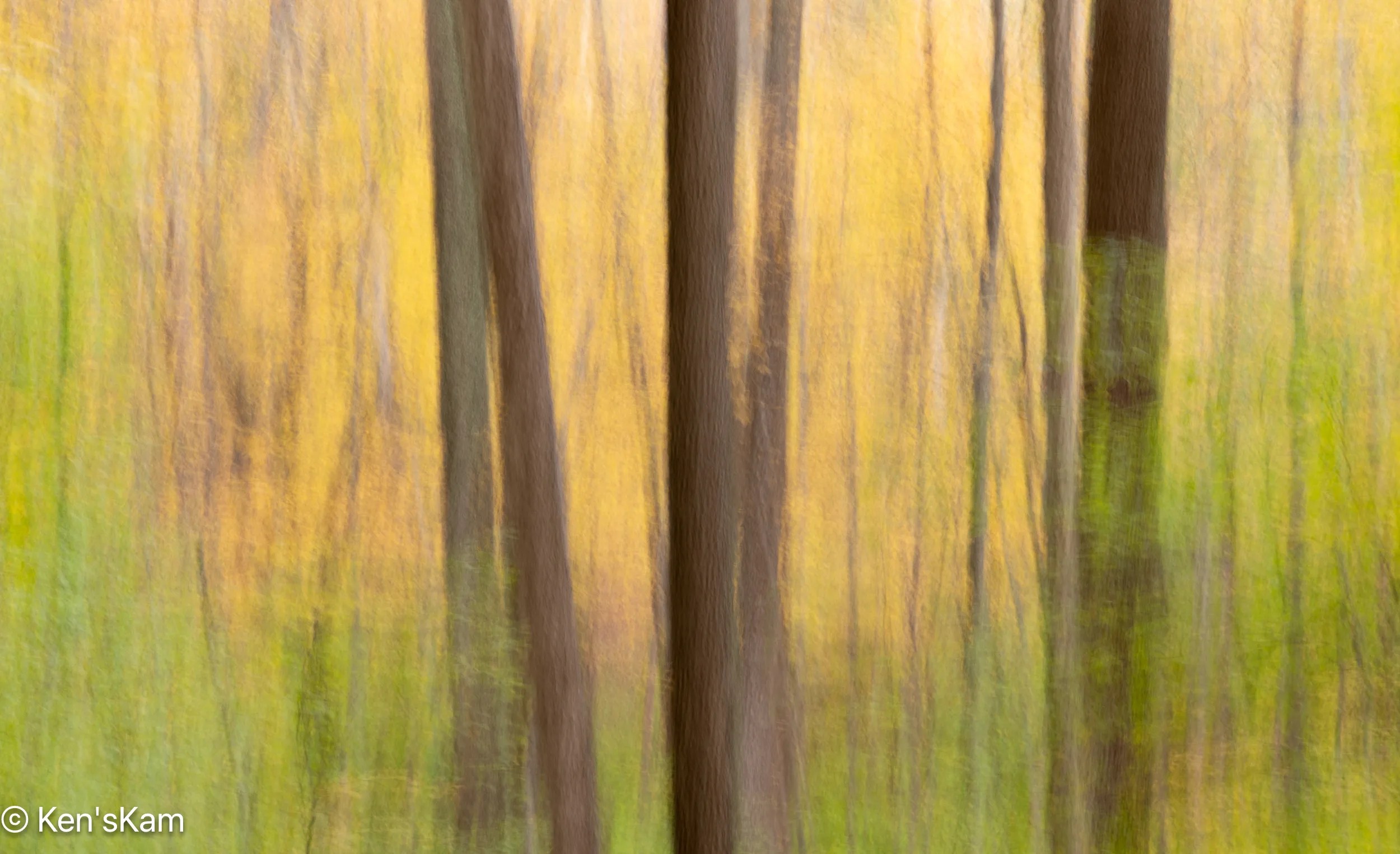
Whenever I think the ordinary forest scene photography is getting too repetivive and boring, I sometimes resort to ICM (Intentional Camera Movement) images. These are fun to do and there are no complicated rules of composition to try adhering to. Just use whatever aperture you like, a suitable ISO to avoid over exposure and a slow shutter speed (I usually use 1 second) and move the camera when the shutter is open. I think vertical movement yields the best results for vertical things, like trees, but other motions can be experimented with. Varying the speed at which the camera is moved yields different effects.


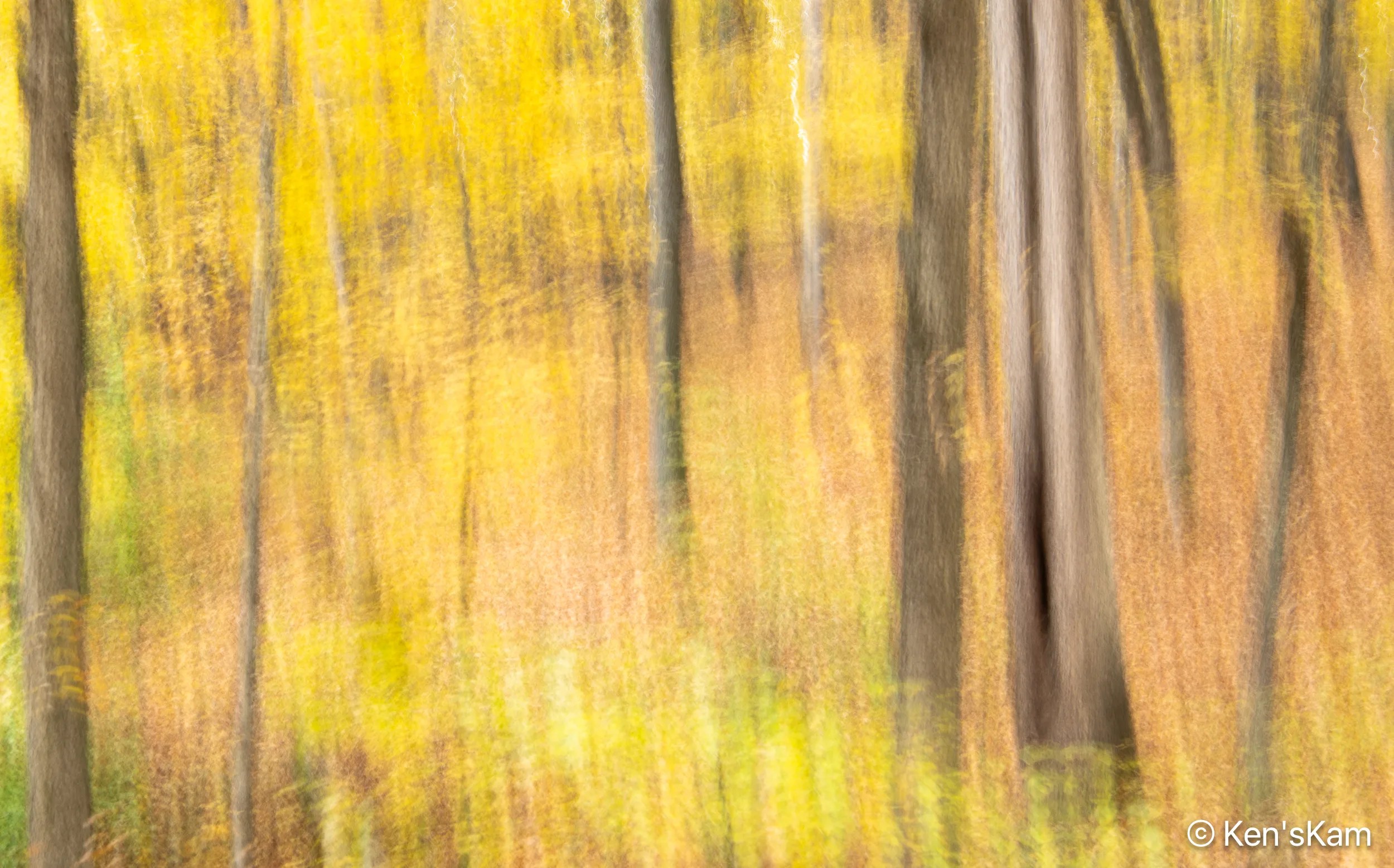
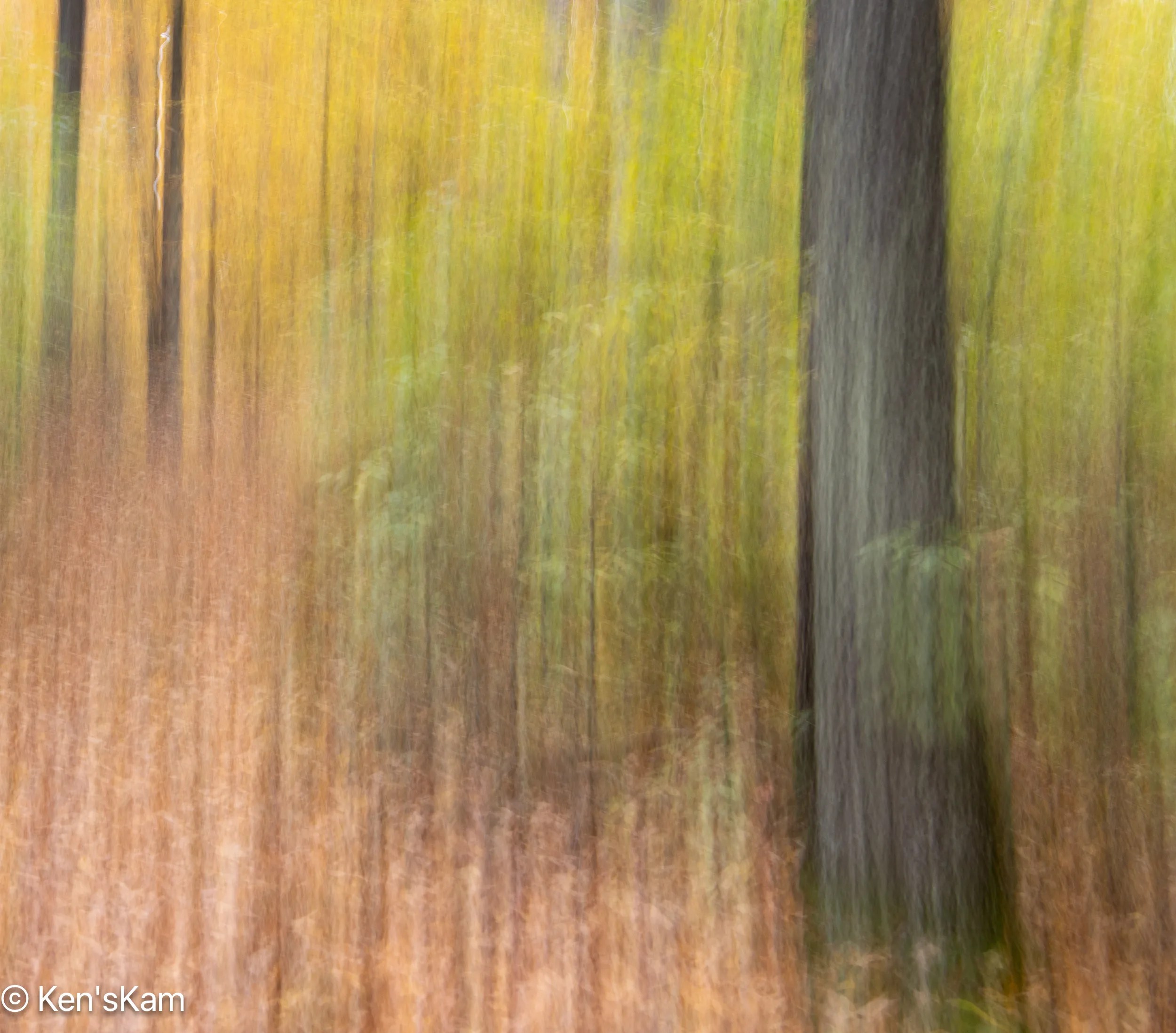
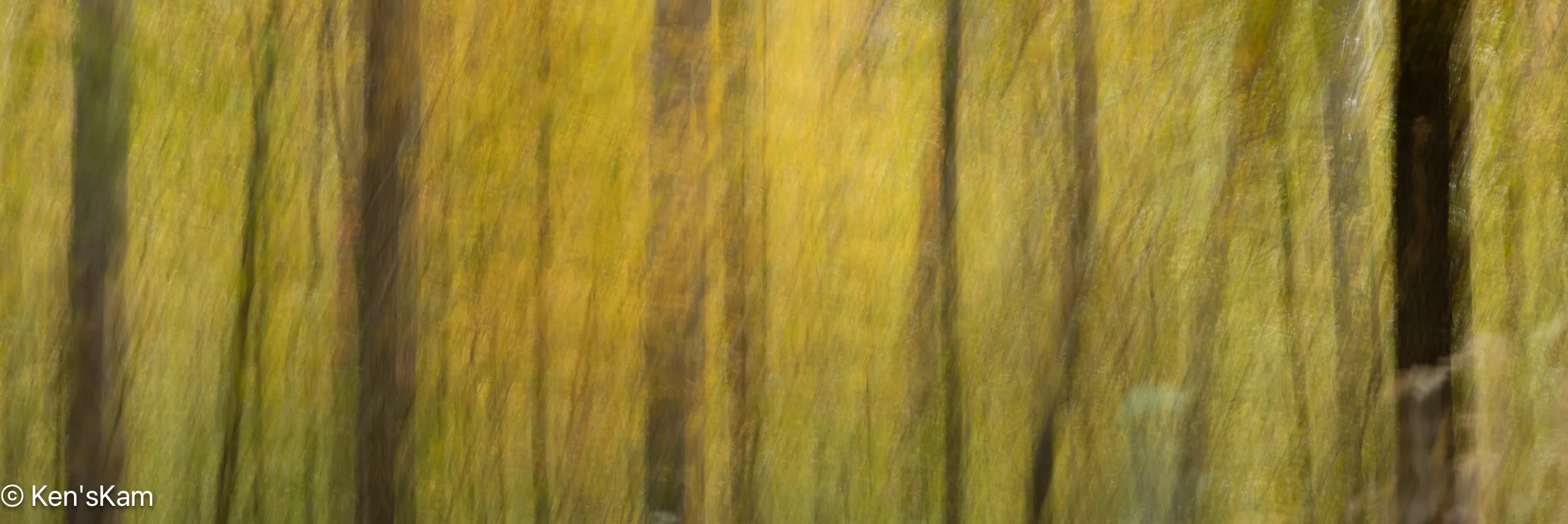

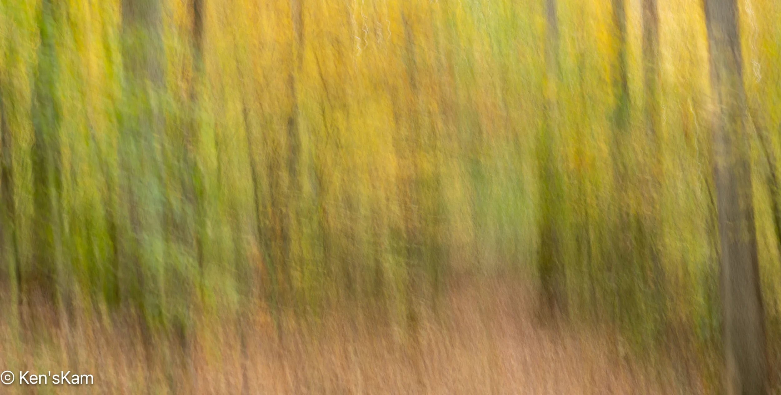
I suppose some might think these ICM images are similar and can become monotonous, too; but these are such fun to do that it can become addictive. These images were all created with a Nikon DSLR with a 24-70mm lens, but there are apps for phone cameras that allow such images to be created with your phone camera.
Stay tuned for more Indiana 2025 fall photos,
Ken
This is the final part of ‘Creek Leaves’.


This concludes this series on fall leaves in an Indiana creek. I expect readers are breathing a sigh of relief, but trust me the photos presented in this series is a subset of many more and since there are infinitely many ways to photograph this subject matter, it would be possible to continue such a theme forever. [And maybe I will do more in the future].
Thanks for following,
Ken